Trail Overview
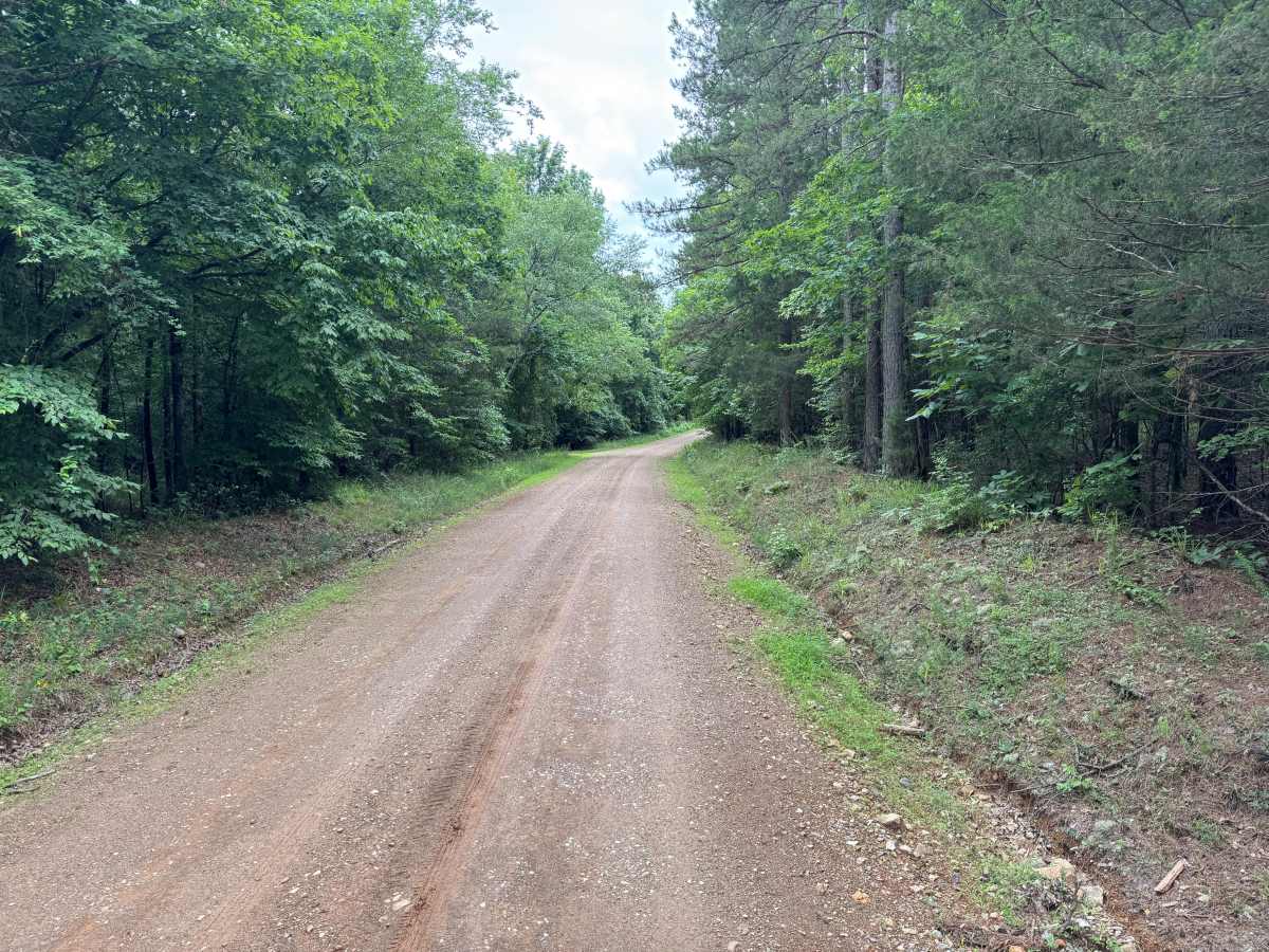
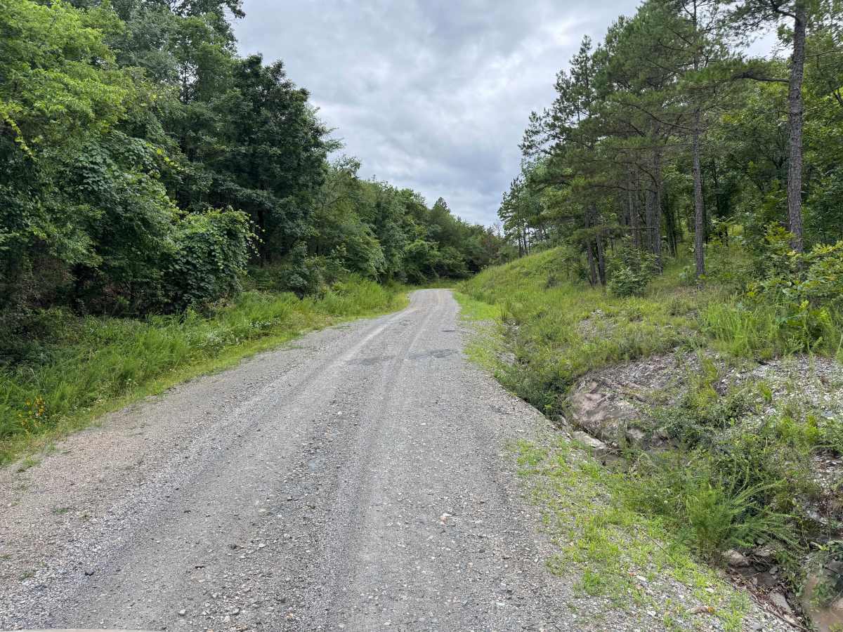
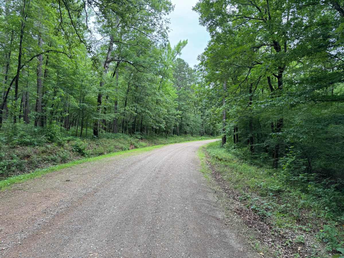
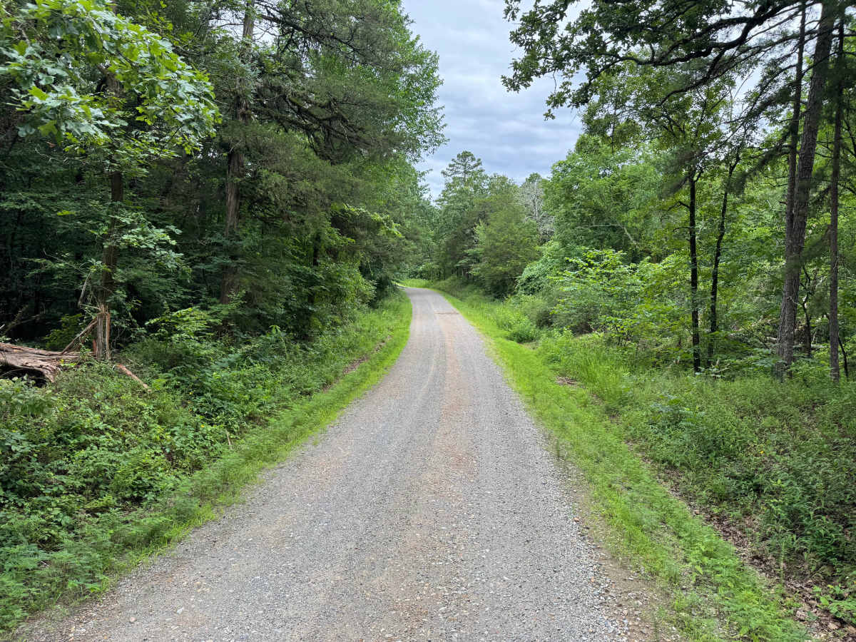
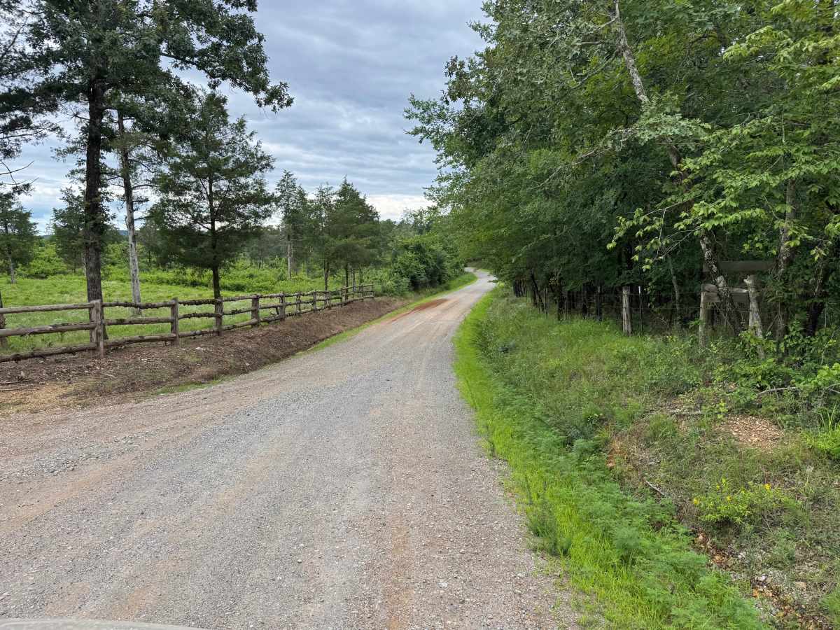
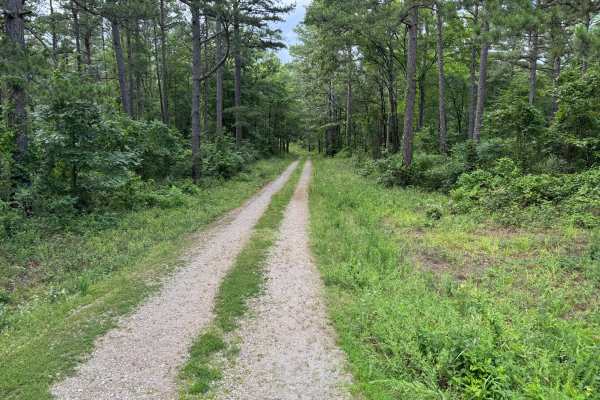
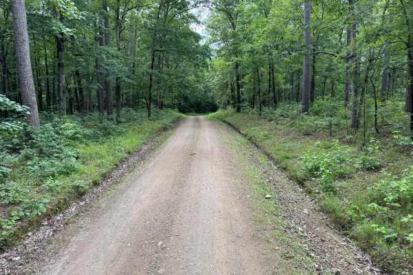
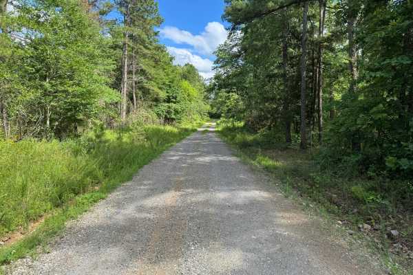
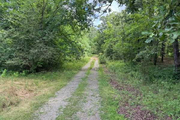
This easy gravel route winds through a mix of dense hardwood forest, pines, and small clearings in the Ouachita Mountains. The road is generally well maintained and suitable for most stock vehicles, though travelers should remain alert for occasional narrow sections, including a one-vehicle-wide bridge. The route features gentle elevation changes, blind hills, and sweeping corners that limit visibility in some areas.
Several sections show evidence of erosion and seasonal water runoff. While these areas are not particularly challenging in dry conditions, standing water and washouts may be present after periods of heavy rain. Drivers should reduce speed around blind corners and hill crests, as oncoming traffic may have limited room to maneuver. The scenery along the route alternates between mature forest canopy and open areas, providing a pleasant drive through the rolling terrain of the national forest. Near the end of the route, the road transitions toward privately owned land associated with High Shoals Cabins. Travelers should respect all posted signs, avoid entering private property, and use the available area before the property boundary to safely turn around and retrace the route. This route is ideal for visitors seeking a scenic forest drive with light adventure, making it well suited for stock SUVs, trucks, overland vehicles, and passenger vehicles with reasonable ground clearance.
Difficulty
The route contains no major obstacles, technical terrain, or significant off-road challenges. Difficulty is limited to narrow sections, blind corners, blind hill crests, and occasional erosion or standing water following rainfall.
History
The Ouachita National Forest was established in 1907 and is recognized as the oldest national forest in the southern United States. Many roads found throughout the forest today originated as logging, timber management, fire access, or resource extraction routes before becoming part of the modern Forest Service road network. Forest management remains an important part of the landscape, and travelers may encounter evidence of prescribed burns, timber thinning, and habitat restoration efforts. The Ouachita Mountains themselves are among the oldest mountain ranges in North America and are notable for their unique east-west orientation.

 Offroad