Trail Overview
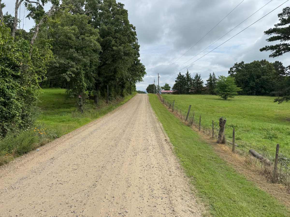
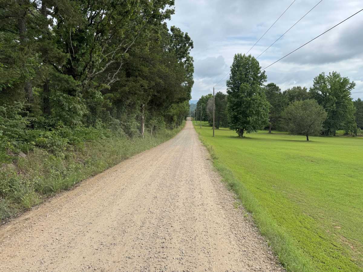
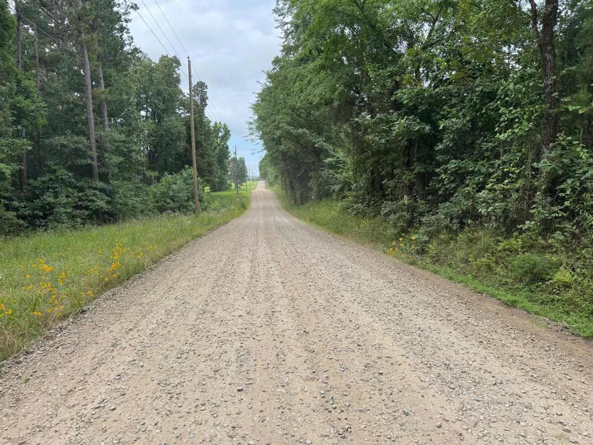
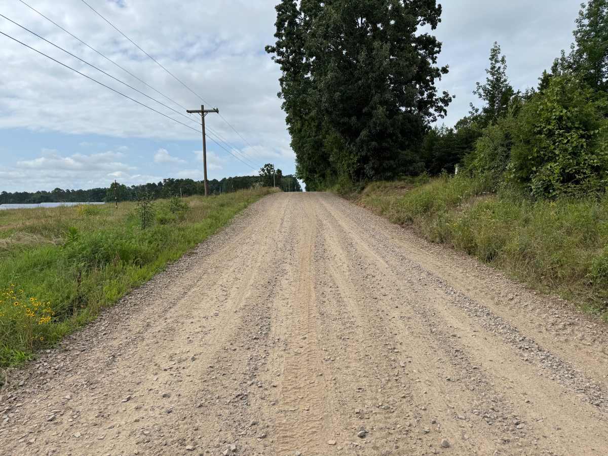
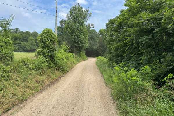
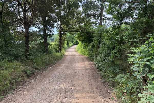
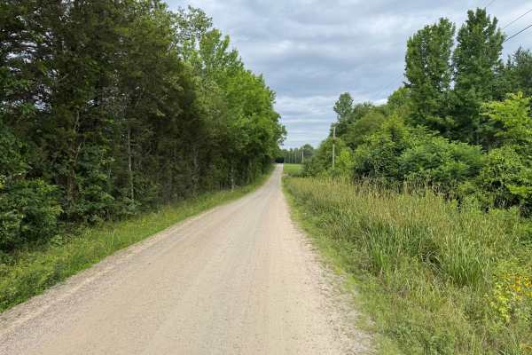
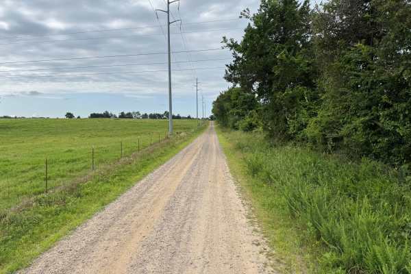
This maintained gravel route travels through a mix of wooded sections and open pastures, offering broad views of the surrounding Ozark countryside. Along the way, you'll pass a local church, several farms, and well-kept rural homes. Please be respectful of private property, reduce your speed near residences, and enjoy the changing scenery as the route transitions between forested corridors and open landscapes.
Difficulty
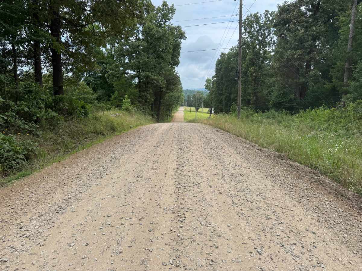
The route follows a well-maintained gravel surface with ample width for two vehicles to pass comfortably. There are no technical obstacles, water crossings, steep grades, off-camber sections, or clearance concerns, making the route suitable for virtually any street-legal vehicle.
History
The Ozark National Forest was established in 1908 and today forms part of the Ozark-St. Francis National Forests, protecting more than one million acres across northern Arkansas. Many of the Forest Service roads traveled today began as logging, fire access, or resource management roads before becoming part of the modern recreation network. Forest management continues to play an important role in maintaining healthy ecosystems through timber management, prescribed fire, wildlife habitat restoration, and watershed protection. The rugged Boston Mountains and surrounding Ozark Highlands remain one of the oldest and most geologically significant mountain regions in North America, offering visitors a unique combination of natural beauty and rich forest history.