Trail Overview
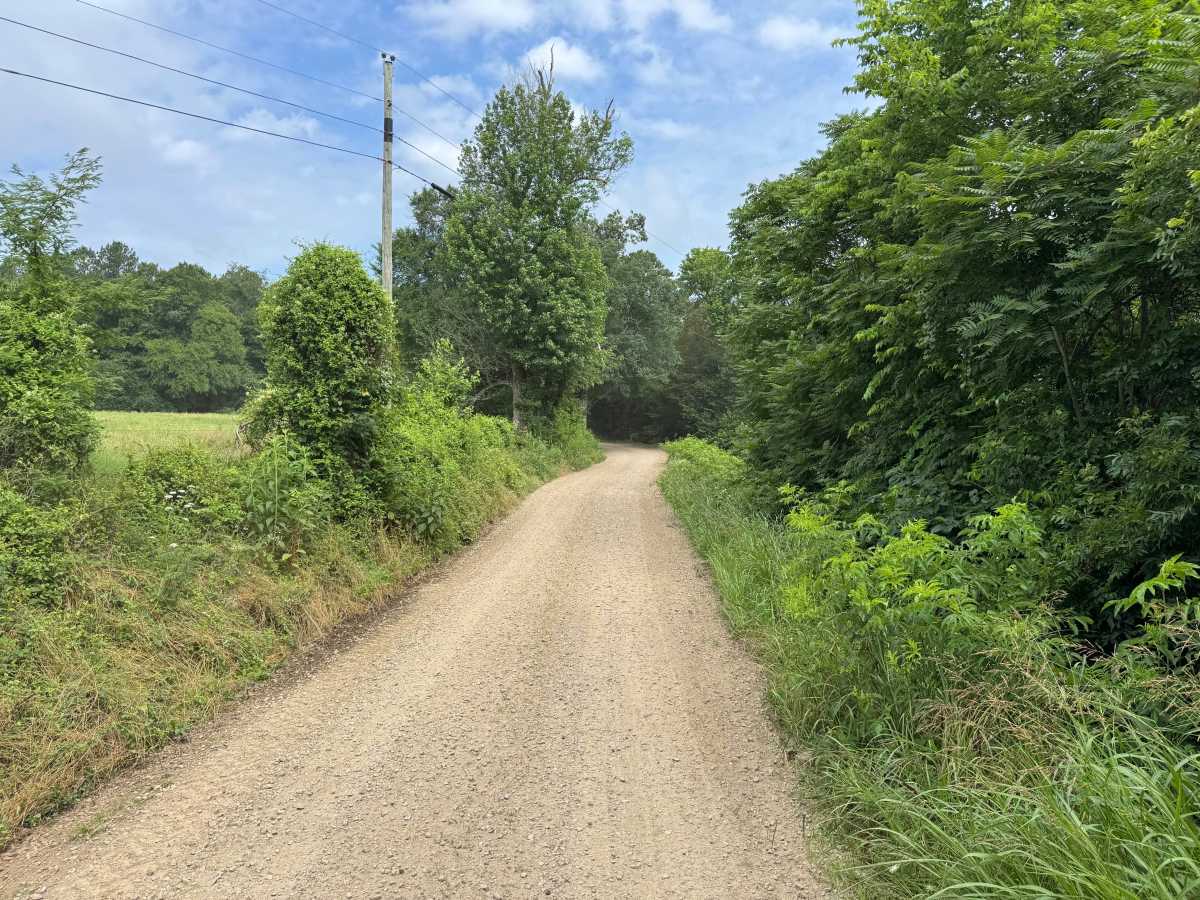
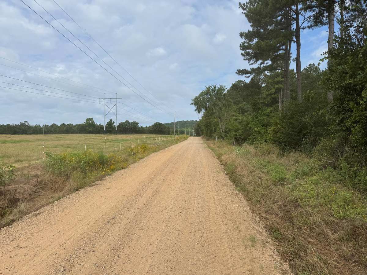
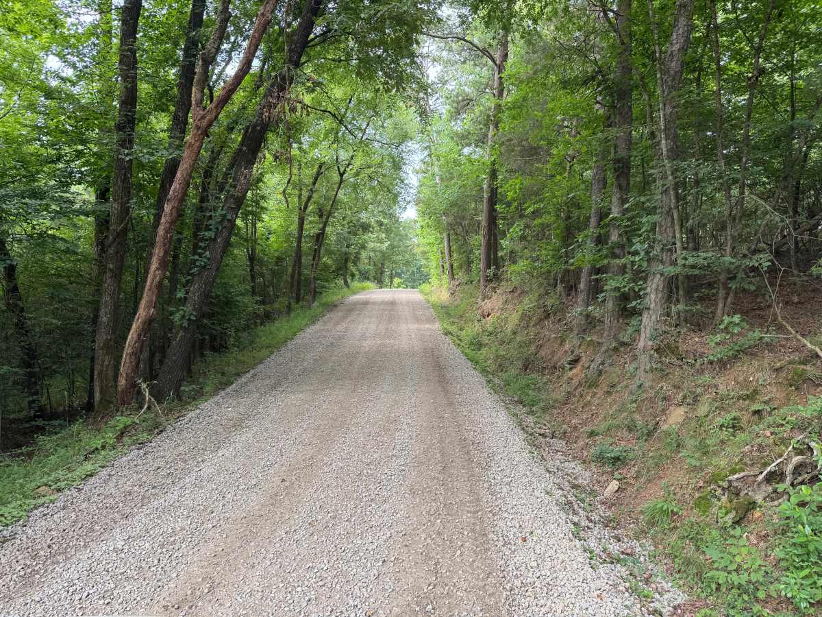
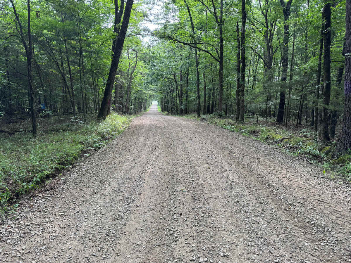
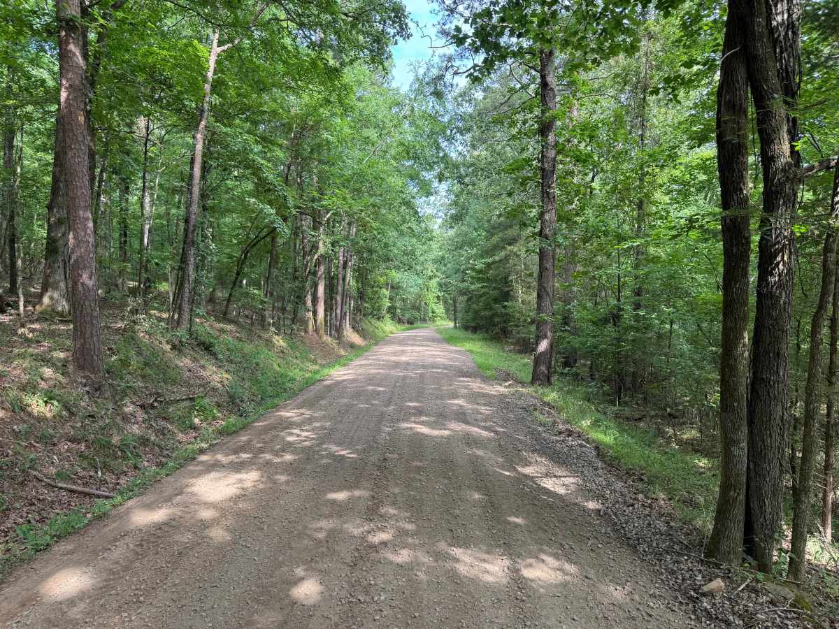
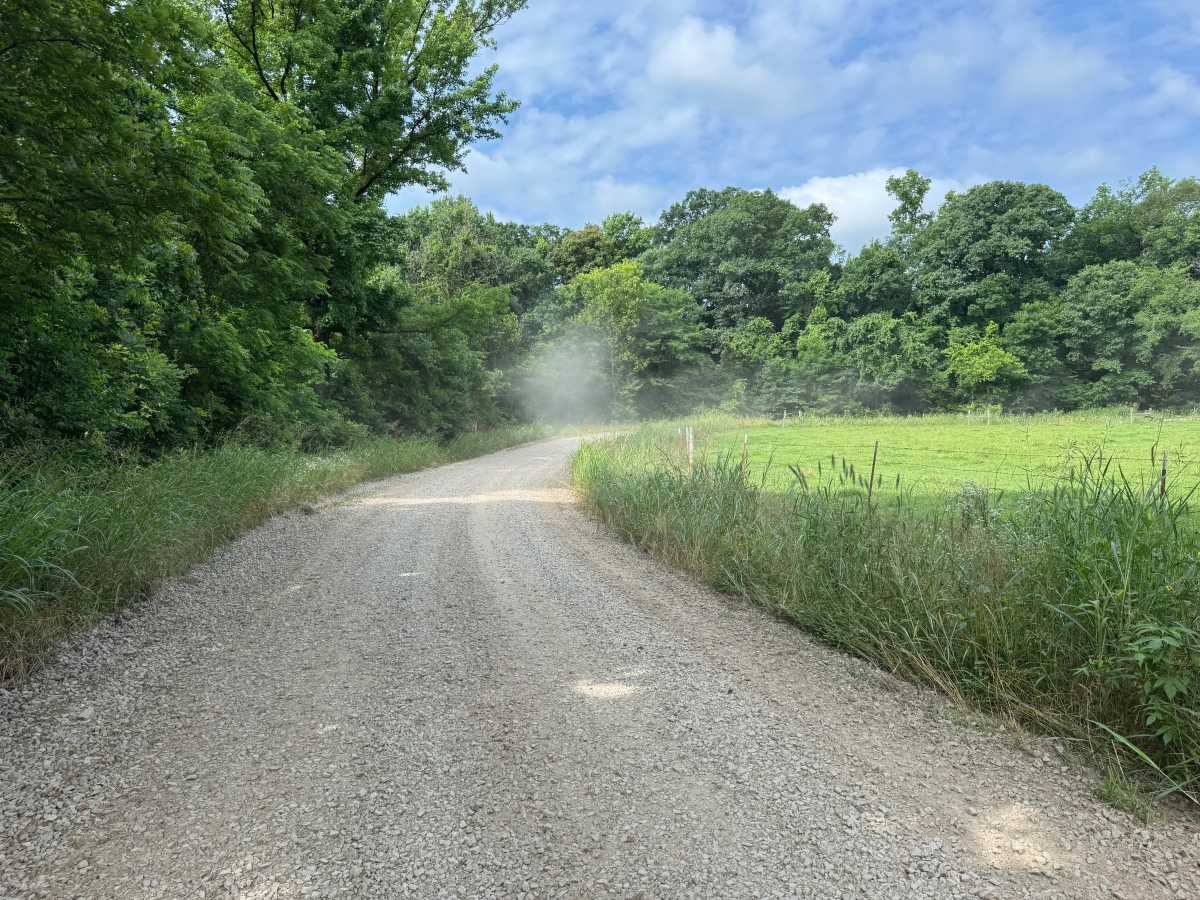
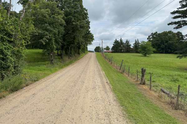
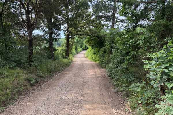
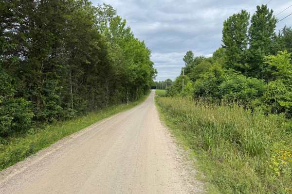
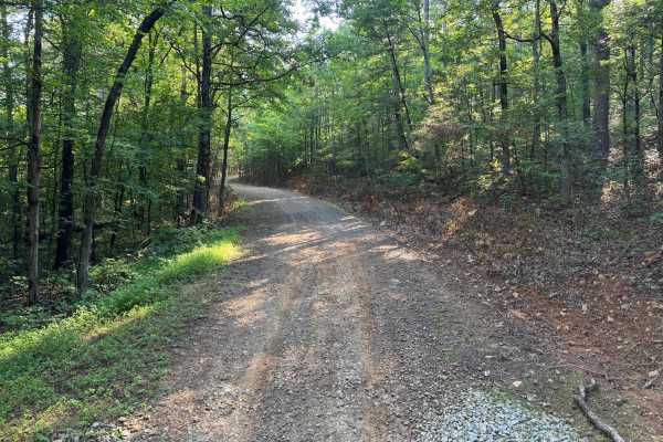
This maintained gravel route winds through a mix of hardwood forest, open pasture, and working farmland, providing a peaceful drive through the Ozarks. Most of the road is wide enough for two vehicles, with occasional narrow sections that still provide places to pull over and allow oncoming traffic to pass. You'll travel past private homes and farms, some with livestock, so remain on the designated route and be respectful of the surrounding properties. Wildflowers can often be found along portions of the roadside, adding seasonal color to the drive. Several tight blind corners require extra caution and reduced speeds.
Difficulty
This route follows a maintained gravel surface with no technical obstacles, water crossings, or significant terrain challenges. The primary considerations are several blind corners, occasional narrow sections where vehicles must yield to one another, and the possibility of fallen trees after storms.
History
The Ozark National Forest was established in 1908 and today forms part of the Ozark-St. Francis National Forests, protecting more than one million acres across northern Arkansas. Many of the Forest Service roads traveled today began as logging, fire access, or resource management roads before becoming part of the modern recreation network. Forest management continues to play an important role in maintaining healthy ecosystems through timber management, prescribed fire, wildlife habitat restoration, and watershed protection. The rugged Boston Mountains and surrounding Ozark Highlands remain one of the oldest and most geologically significant mountain regions in North America, offering visitors a unique combination of natural beauty and rich forest history.