Trail Overview
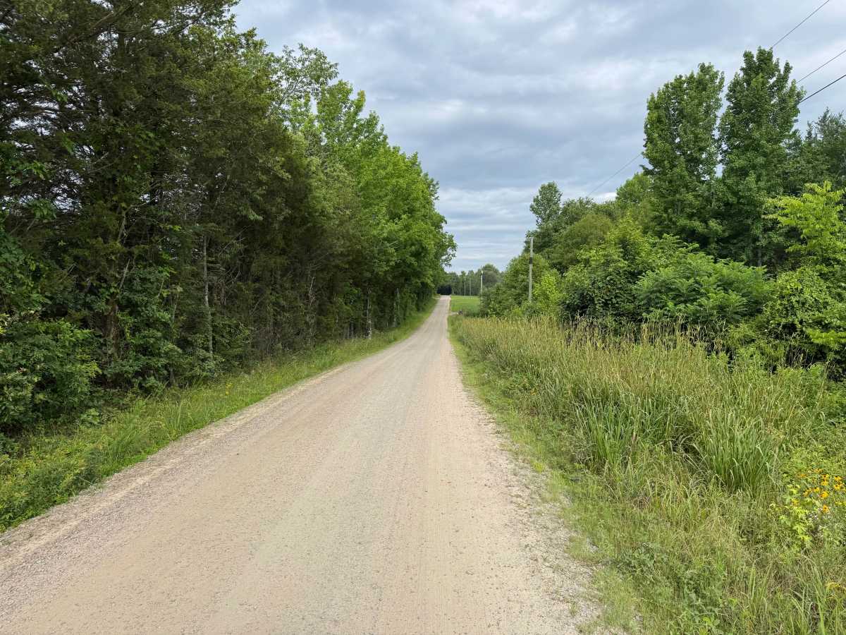
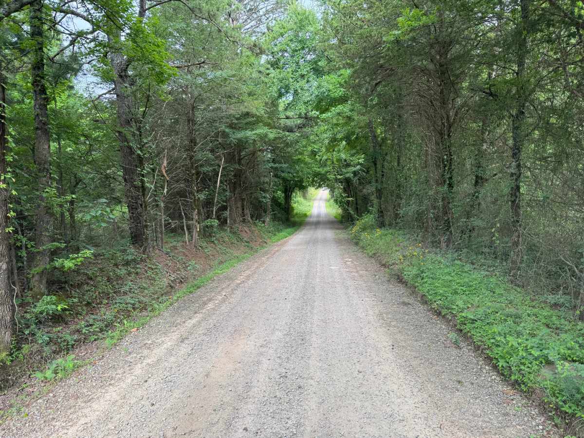
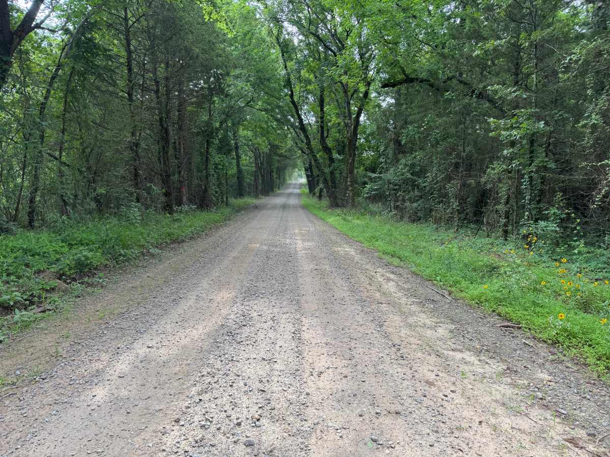
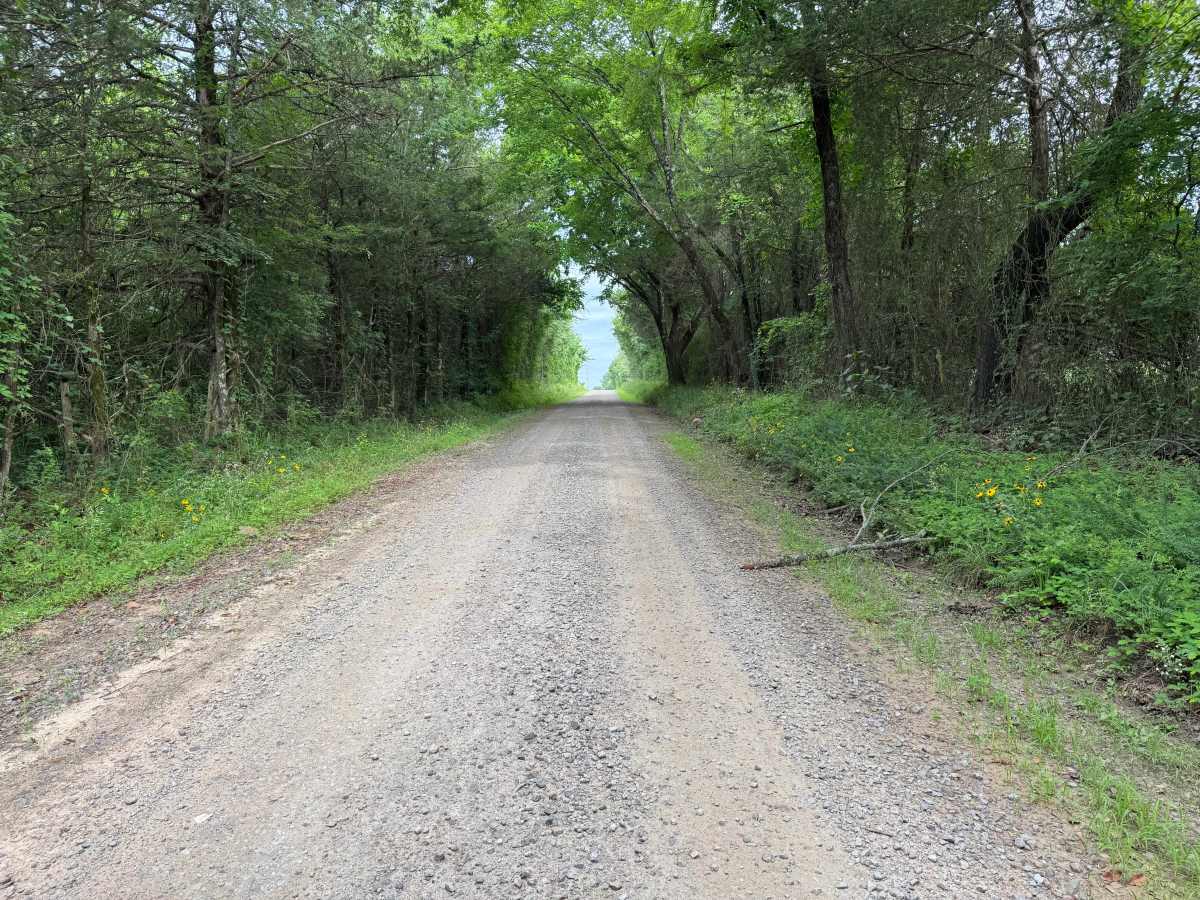
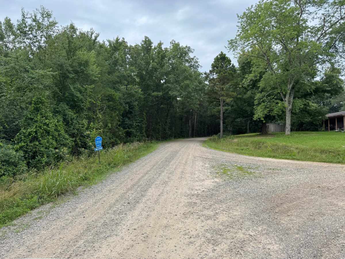
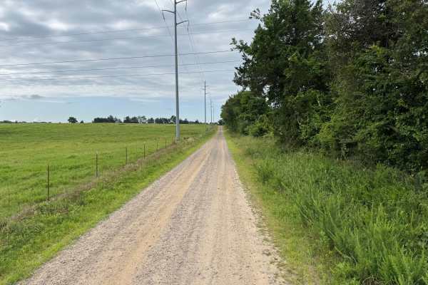
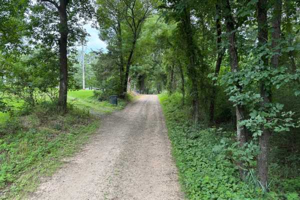
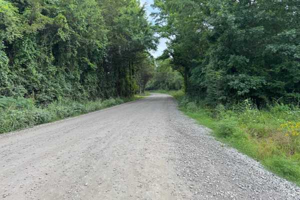
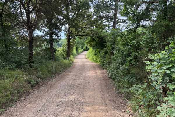
This easy gravel route follows a well-maintained county road through a mix of mature hardwoods, pine forest, and open countryside. The road remains mostly two vehicles wide from end to end, making it a comfortable drive for full-size trucks and SUVs. Dense sections of forest create a tunnel-like canopy in places, while occasional openings provide views of nearby fields and rolling terrain. The route passes several private residences, so remain on the designated roadway and be mindful of pets or local traffic that may enter the road unexpectedly. Near the eastern end, the gravel transitions to pavement as the route approaches Ludwig Lake, providing an easy connection to the surrounding road network.
Difficulty
There are no water crossings, rock ledges, deep ruts, or steep grades requiring specialized equipment or driving techniques. Passenger vehicles can typically complete the route in dry weather, although loose gravel may reduce traction and dust can limit visibility behind other vehicles. The primary hazards are oncoming traffic and private residences where pets or wildlife may be near the roadway.
History
The Ozark National Forest was established in 1908 and today forms part of the Ozark-St. Francis National Forests, protecting more than one million acres across northern Arkansas. Many of the Forest Service roads traveled today began as logging, fire access, or resource management roads before becoming part of the modern recreation network. Forest management continues to play an important role in maintaining healthy ecosystems through timber management, prescribed fire, wildlife habitat restoration, and watershed protection. The rugged Boston Mountains and surrounding Ozark Highlands remain one of the oldest and most geologically significant mountain regions in North America, offering visitors a unique combination of natural beauty and rich forest history.