Trail Overview
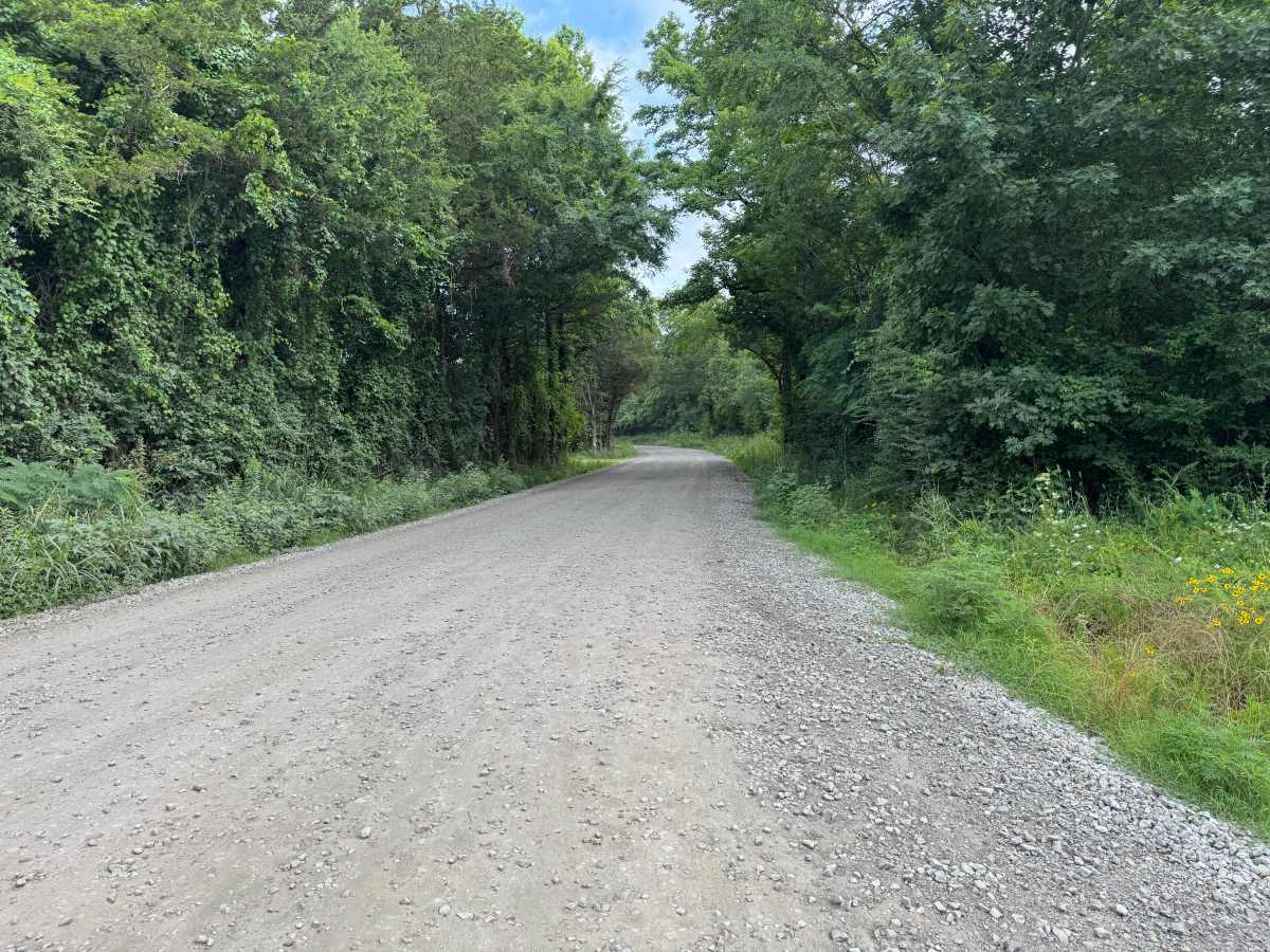
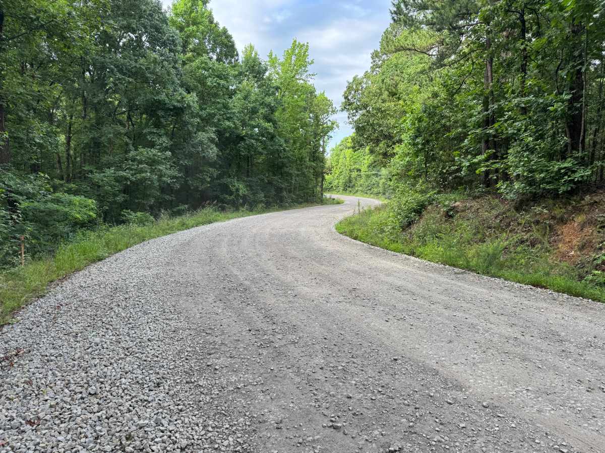
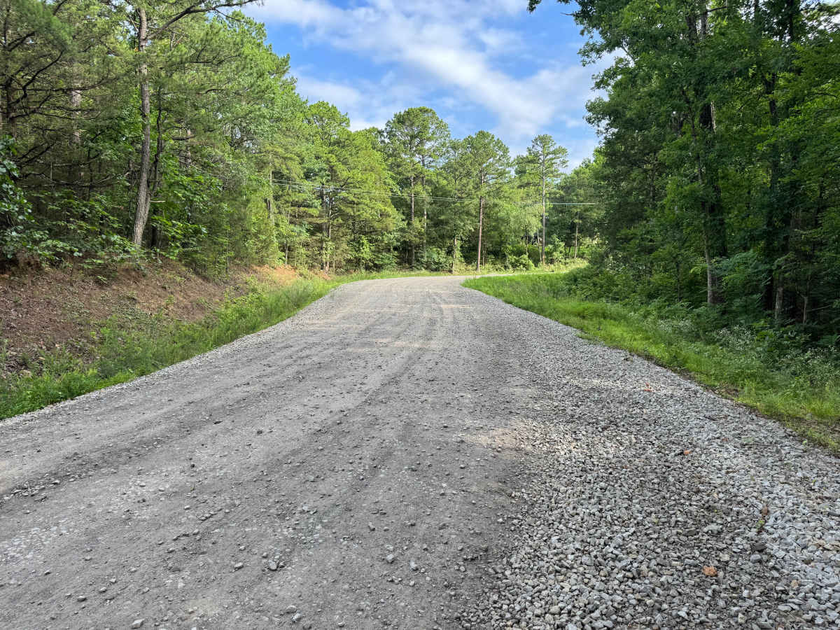
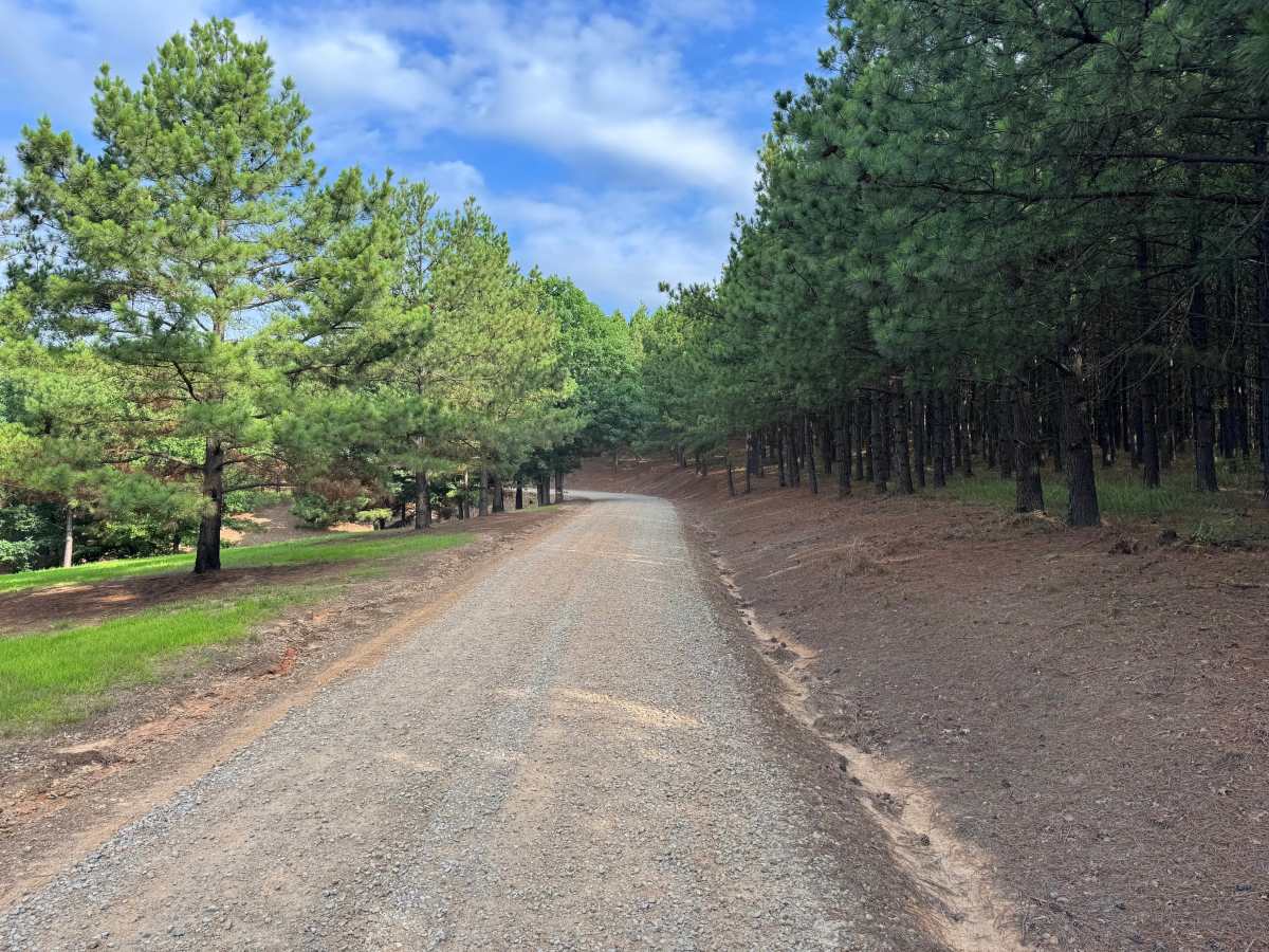
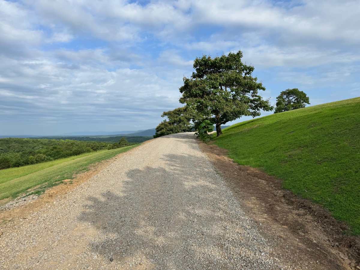
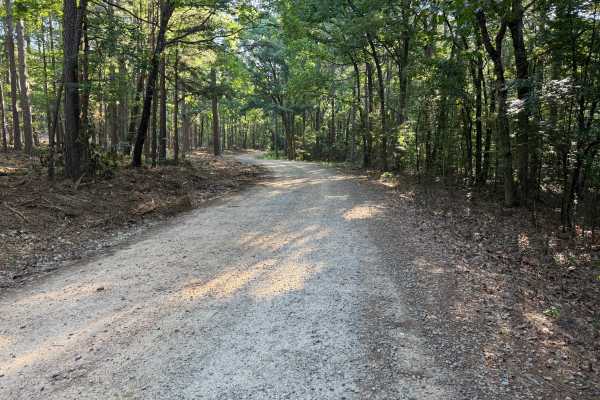
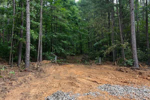
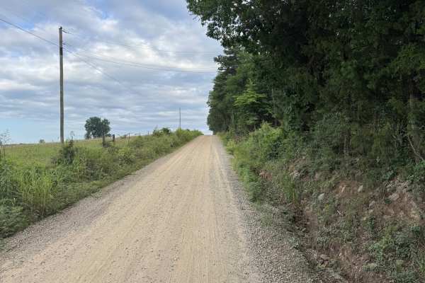
This route begins as a well-maintained, two-vehicle-wide gravel road winding through mature hardwoods and pines before gradually climbing to higher ground. As you gain elevation, the forest gives way to open hillsides with sweeping views of the surrounding mountains and densely forested valleys, making this one of the more scenic drives in the area. The route passes several private residences before reaching a short section where the maintained gravel transitions to a dirt-based forest road. This unmaintained segment continues only a short distance before ending at a locked gate, which appears to restrict access to an active or recently active timber harvest area. Plan to turn around at the gate and return the way you came. Please remain on the designated roadway, respect private property, and watch for pets or local traffic near the homes.
Difficulty
The maintained gravel surface is generally smooth, wide enough for two vehicles, and free of technical obstacles. The only change in terrain is a brief dirt section beyond the last homes before the route terminates at a locked gate.
History
The Ozark National Forest was established in 1908 and today forms part of the Ozark-St. Francis National Forests, protecting more than one million acres across northern Arkansas. Many of the Forest Service roads traveled today began as logging, fire access, or resource management roads before becoming part of the modern recreation network. Forest management continues to play an important role in maintaining healthy ecosystems through timber management, prescribed fire, wildlife habitat restoration, and watershed protection. The rugged Boston Mountains and surrounding Ozark Highlands remain one of the oldest and most geologically significant mountain regions in North America, offering visitors a unique combination of natural beauty and rich forest history.