Trail Overview
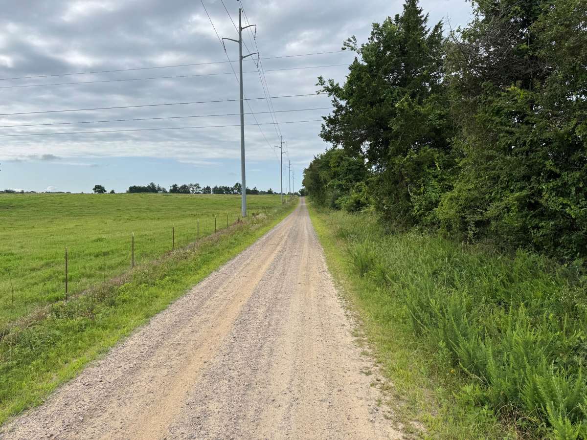
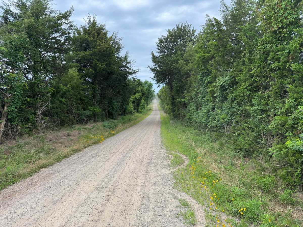
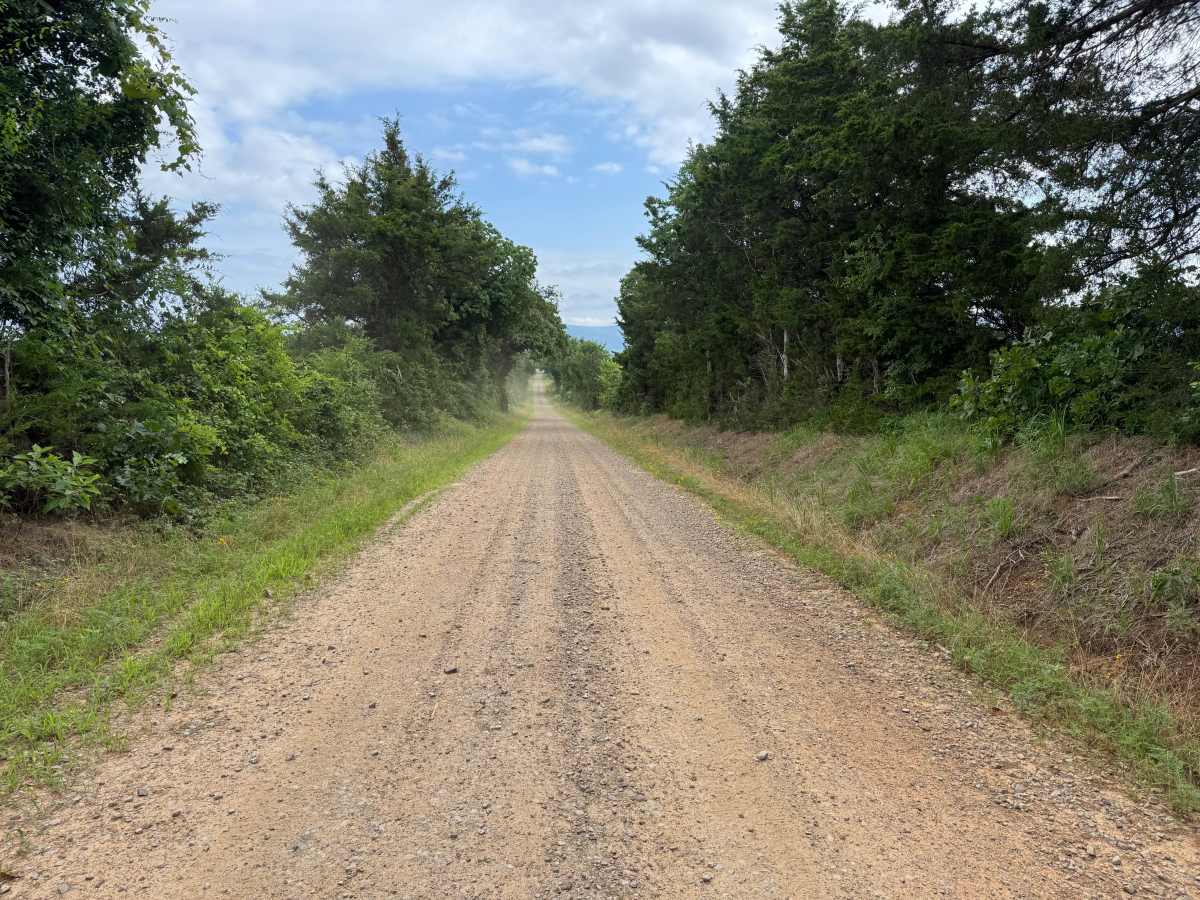
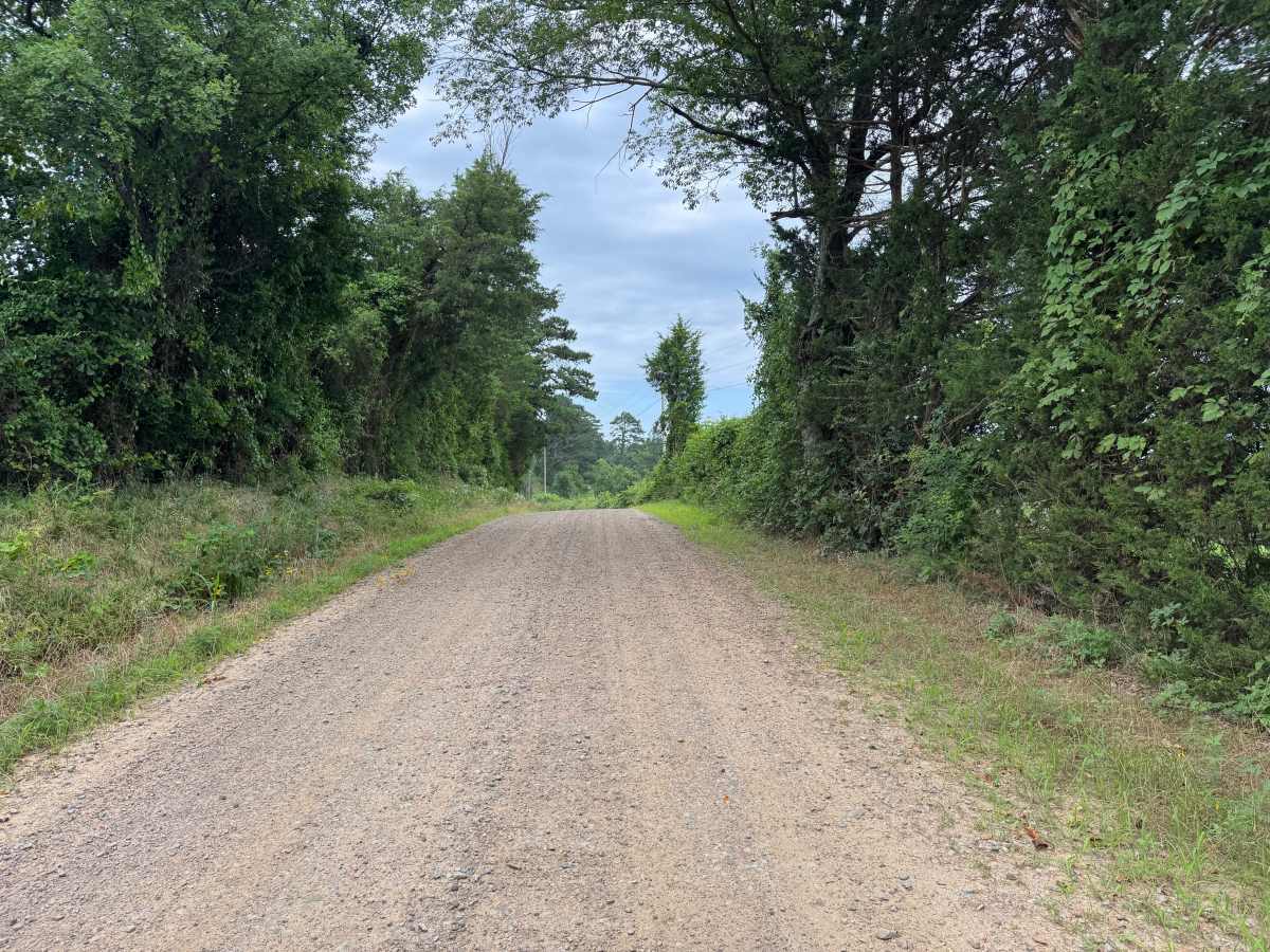
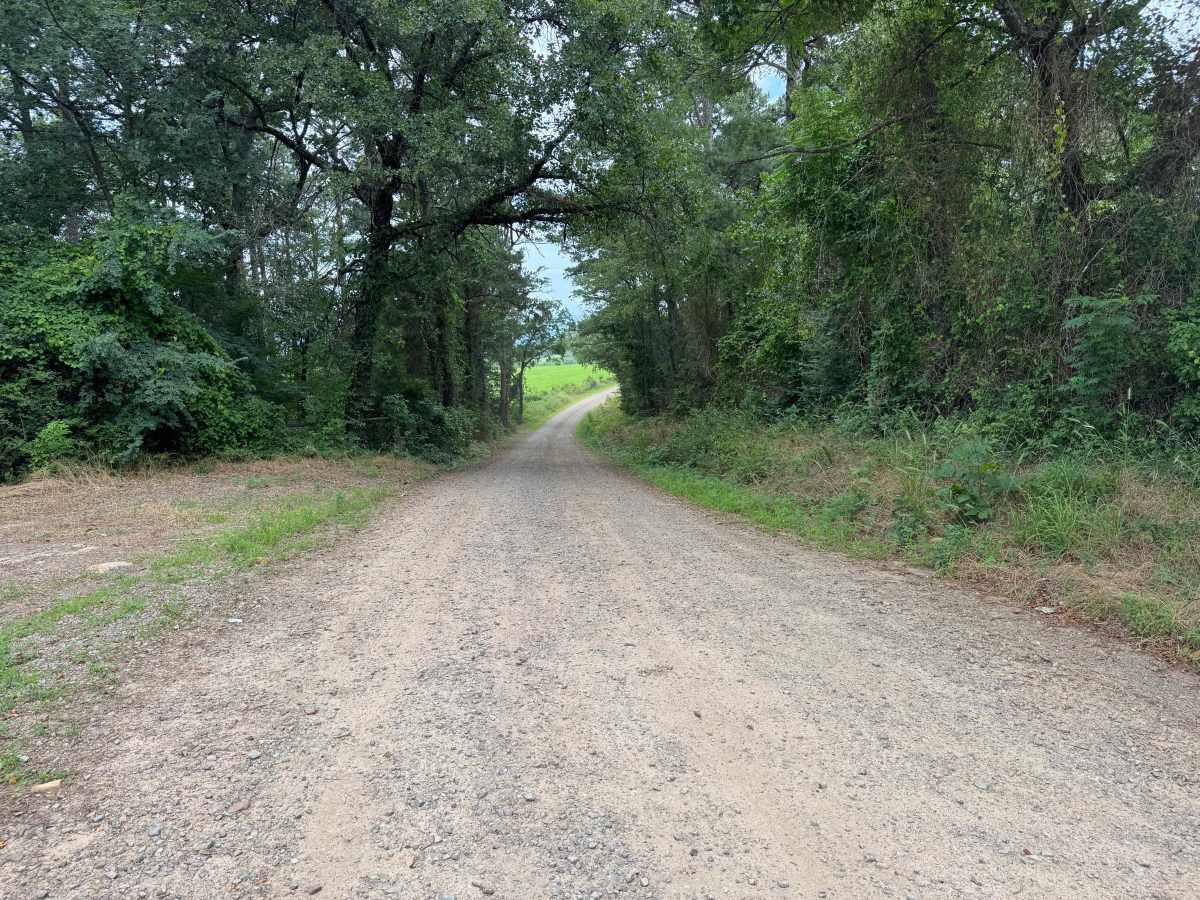
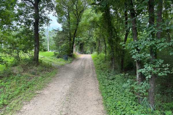
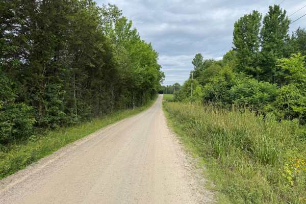
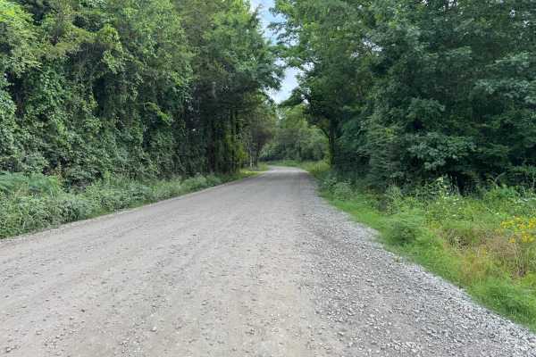
This easy gravel route travels through a mix of farmland and wooded corridors, offering a peaceful drive with views of working farmland and the surrounding countryside. Along the route, you'll pass grazing cattle, hay fields, and sections of mature forest that form a shaded canopy over the road. The roadway is well maintained with a smooth gravel surface and no technical obstacles, making it an enjoyable drive for those looking to explore the area's rural landscapes. Because the route passes several private residences and active farmland, remain on the designated road, respect private property, and watch for wildlife, farm equipment, or pets that may be near the roadway.
Difficulty
The maintained gravel surface and lack of technical obstacles make this an easy drive for most vehicles. The primary factor affecting the rating is the predominantly single-lane width, which requires drivers to yield to oncoming traffic at available pull-offs.
History
The Ozark National Forest was established in 1908 and today forms part of the Ozark-St. Francis National Forests, protecting more than one million acres across northern Arkansas. Many of the Forest Service roads traveled today began as logging, fire access, or resource management roads before becoming part of the modern recreation network. Forest management continues to play an important role in maintaining healthy ecosystems through timber management, prescribed fire, wildlife habitat restoration, and watershed protection. The rugged Boston Mountains and surrounding Ozark Highlands remain one of the oldest and most geologically significant mountain regions in North America, offering visitors a unique combination of natural beauty and rich forest history.