Trail Overview
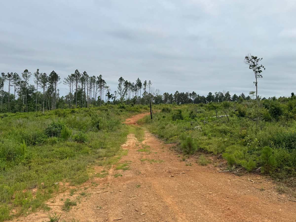
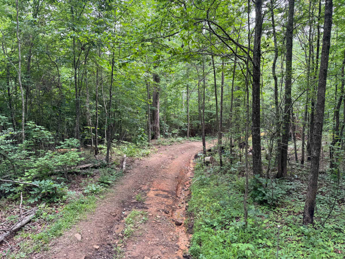
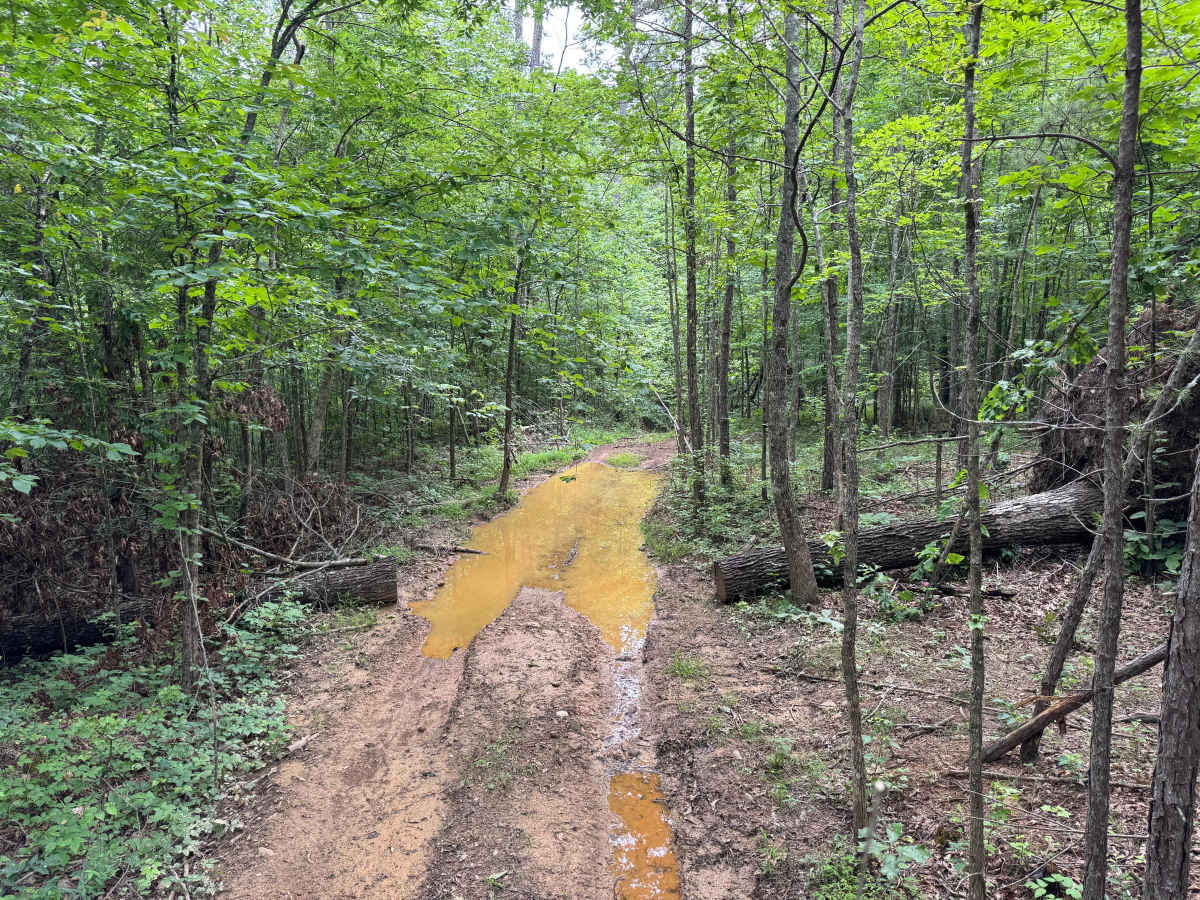
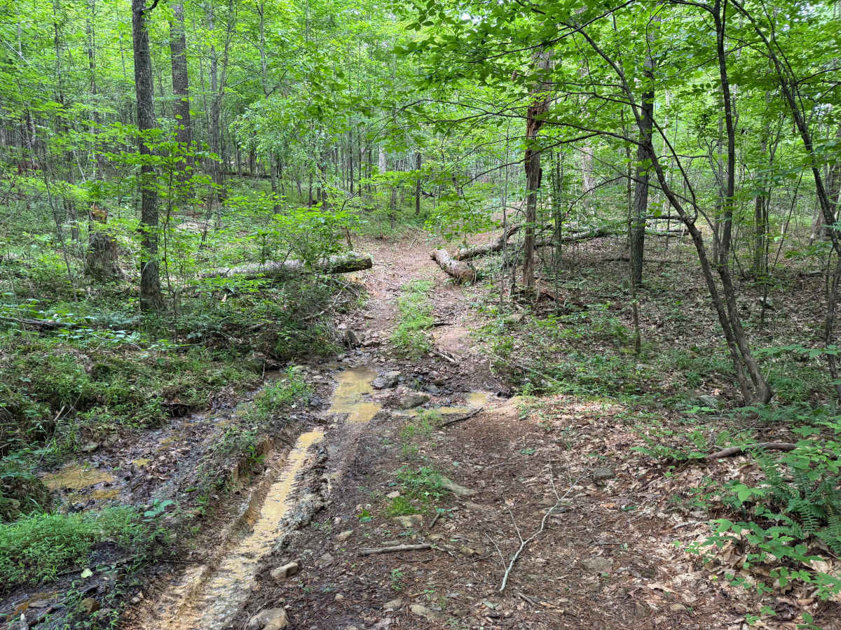
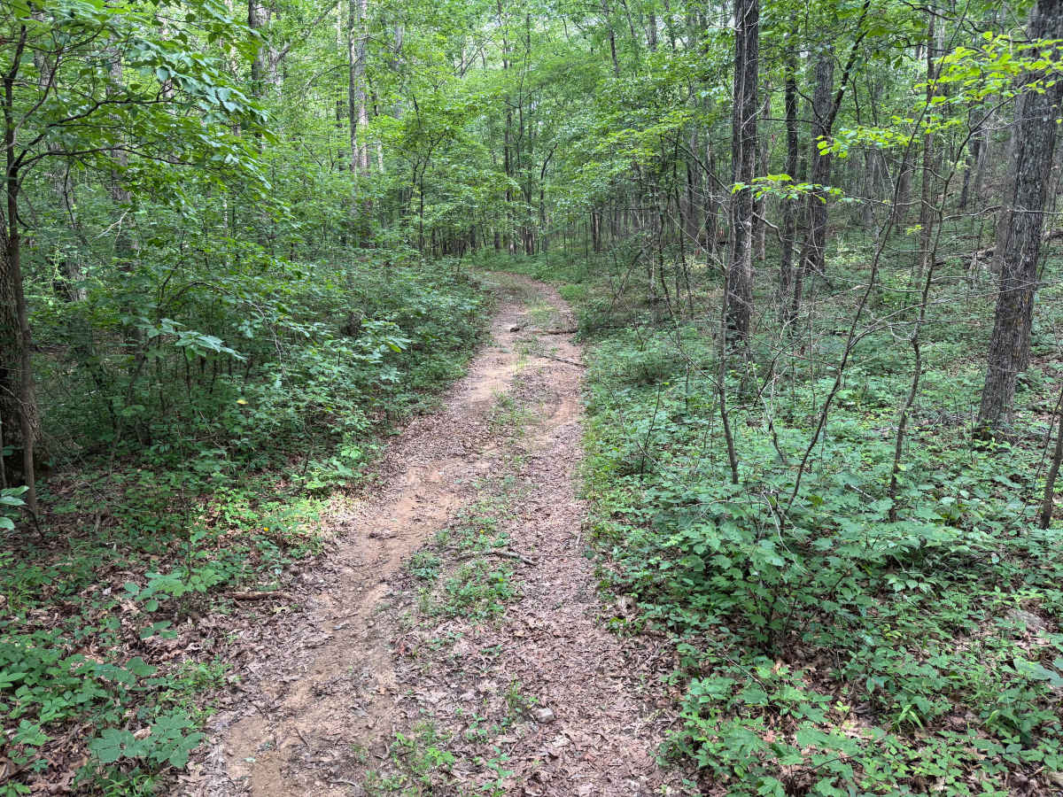
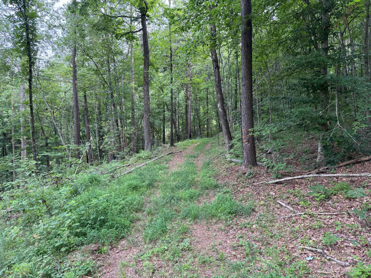
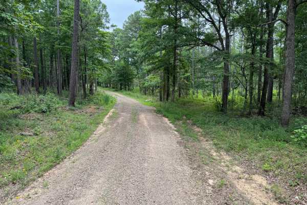
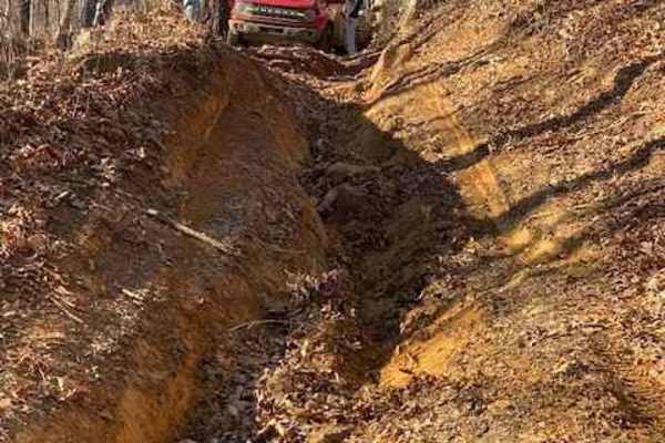
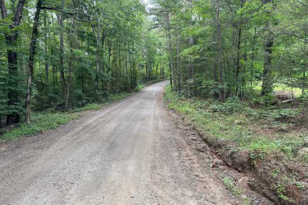
This route begins in a recently logged area with open views of young pine growth before transitioning into a dense hardwood and pine forest. The trail remains single-vehicle-width for its entire length and becomes progressively narrower as vegetation closes in. Expect multiple muddy sections with soft bottoms that can become difficult after rain, along with ruts, exposed roots, loose rock, and several shallow creek crossings. Numerous downed trees have been cut to reopen the trail, but remaining logs and stumps along the trail edges can still cause underbody or body damage. As the route climbs the mountainside, a series of tight switchbacks and off-camber sections require careful tire placement. Near the top, overgrown vegetation and additional fallen trees may force drivers to maneuver around obstacles, increasing the likelihood of pinstriping. Hidden tree stumps in the tall grass, low branches, and wildlife are additional hazards. Full-size trucks will find several sections extremely tight, making smaller, high-clearance 4WD vehicles the preferred choice for this route.
Difficulty
This trail becomes moderately challenging due to narrow tree-lined sections, soft mud holes, shallow creek crossings, exposed roots, loose rocks, and tight switchbacks. Full-size trucks will encounter several tight squeezes, and pinstriping is likely. A high-clearance 4WD vehicle is recommended, especially after wet weather when traction becomes more limited.
History
The Ozark National Forest was established in 1908 and today forms part of the Ozark-St. Francis National Forests protect more than one million acres across northern Arkansas. Many of the Forest Service roads traveled today began as logging, fire access, or resource management roads before becoming part of the modern recreation network. Forest management continues to play an important role in maintaining healthy ecosystems through timber management, prescribed fire, wildlife habitat restoration, and watershed protection. The rugged Boston Mountains and surrounding Ozark Highlands remain one of the oldest and most geologically significant mountain regions in North America, offering visitors a unique combination of natural beauty and rich forest history.