Trail Overview
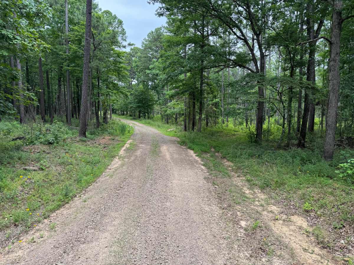
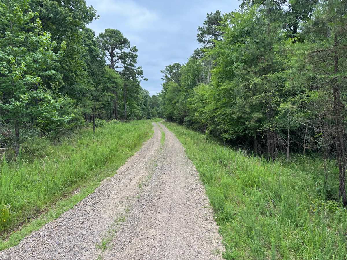
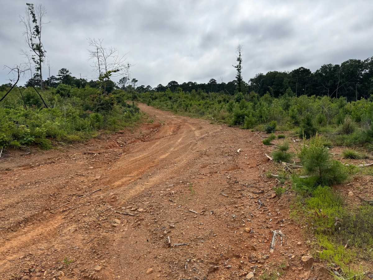
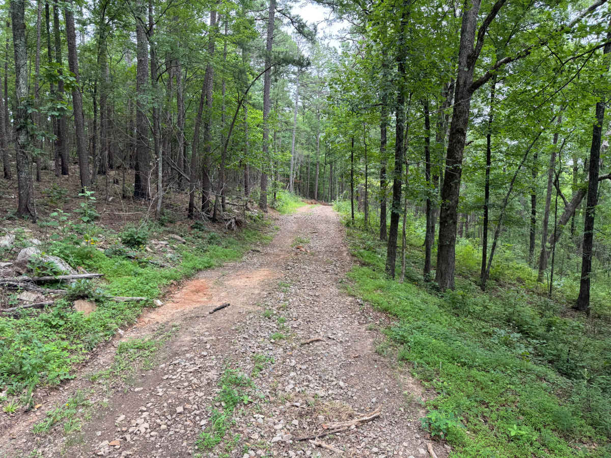
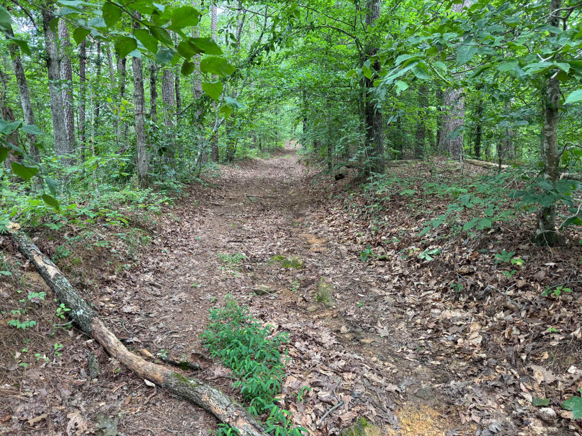
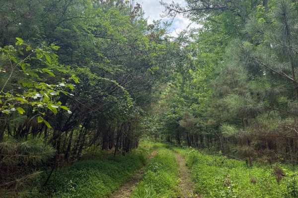
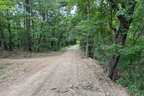
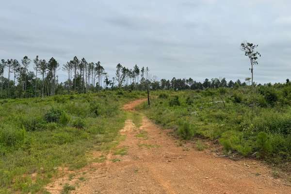
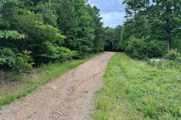
This route is an out-and-back that ends at a locked gate marking private property. Just before the gate is a turnaround large enough for even a full-size truck to safely reverse direction and return the way it came. The drive begins on a smooth, graded gravel road winding through a dense forest of tall pines and hardwoods before transitioning into a former logging area where open clearings provide wider views and younger tree growth. Beyond the clearing, the trail narrows into a rougher dirt road climbing a hillside with water-eroded whoops, shallow dips, exposed rocks, and sections of loose rock. Brush and overhanging limbs become much tighter near the end, making paint scratches or pinstriping likely.
Difficulty
The beginning consists of smooth gravel, followed by a former logging area with a dirt base, before ending on a hill with water erosion, shallow whoops, loose rock, and a few exposed rocks up to approximately 12 inches tall. There are no technical obstacles requiring lockers or aggressive tires, but drivers should expect brush-induced pinstriping near the end of the route. Downed trees after storms and wildlife are the most common hazards. In dry conditions, this is an easy trail, though wet weather can make the eroded hill and loose surfaces more challenging.
History
The Ozark National Forest was established in 1908 and today forms part of the Ozark-St. Francis National Forests, protecting more than one million acres across northern Arkansas. Many of the Forest Service roads traveled today began as logging, fire access, or resource management roads before becoming part of the modern recreation network. Forest management continues to play an important role in maintaining healthy ecosystems through timber management, prescribed fire, wildlife habitat restoration, and watershed protection. The rugged Boston Mountains and surrounding Ozark Highlands remain one of the oldest and most geologically significant mountain regions in North America, offering visitors a unique combination of natural beauty and rich forest history.