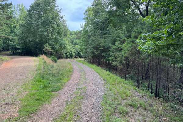
Trail Overview
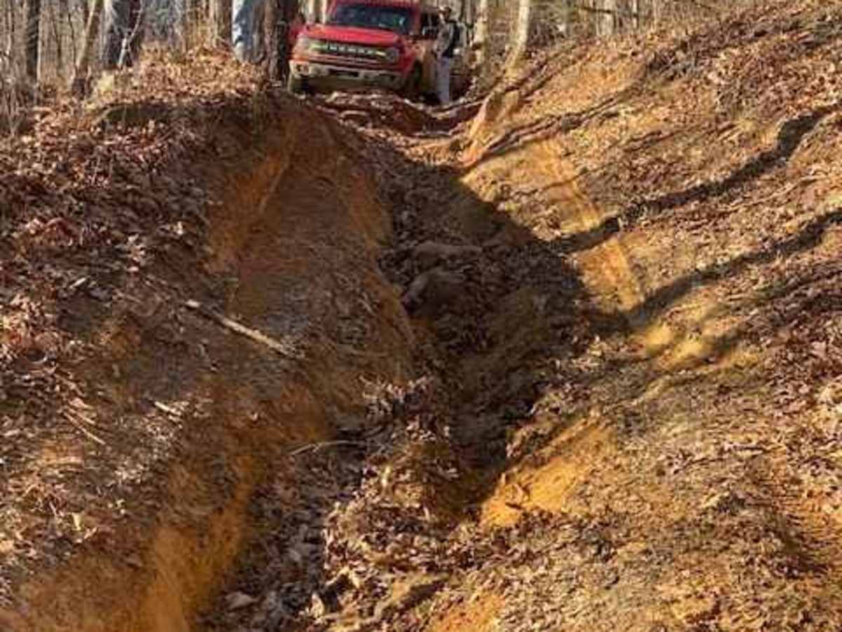
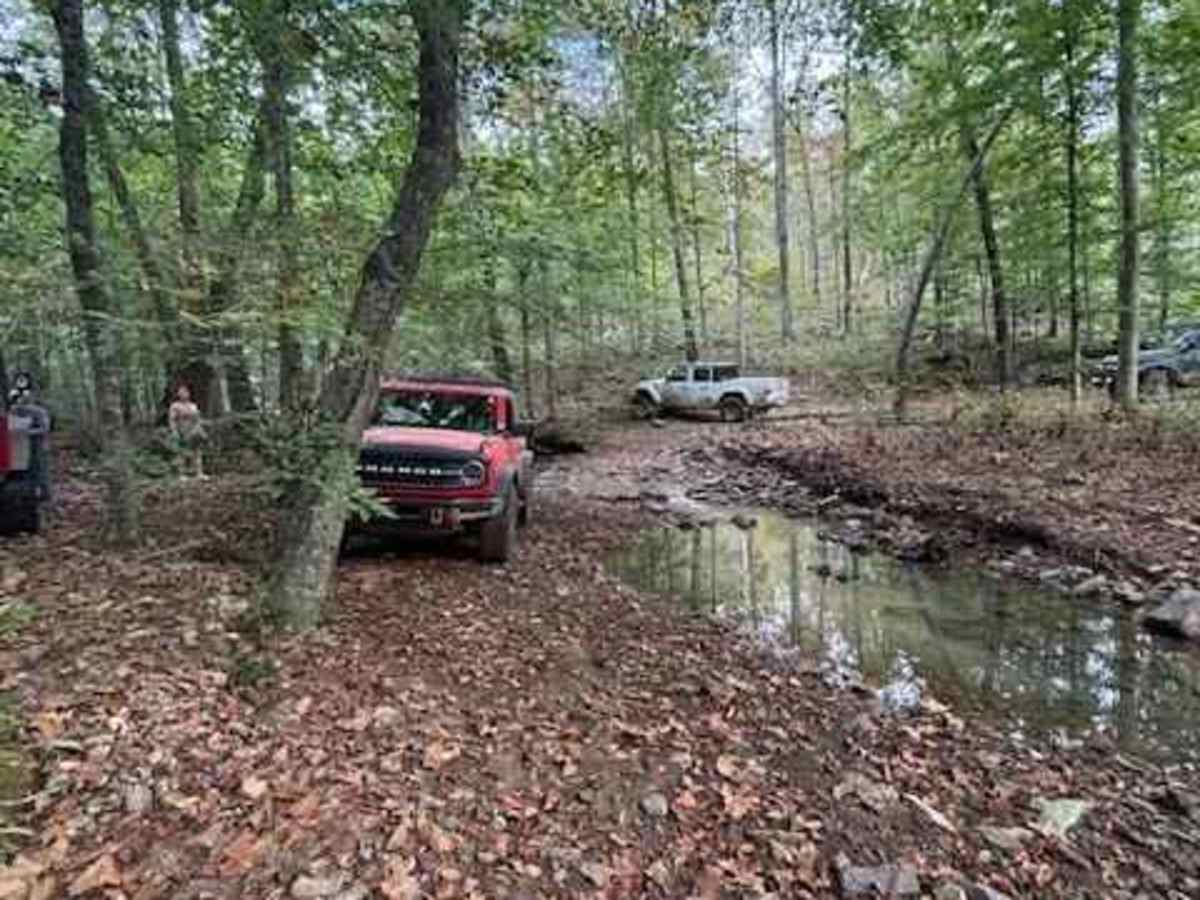
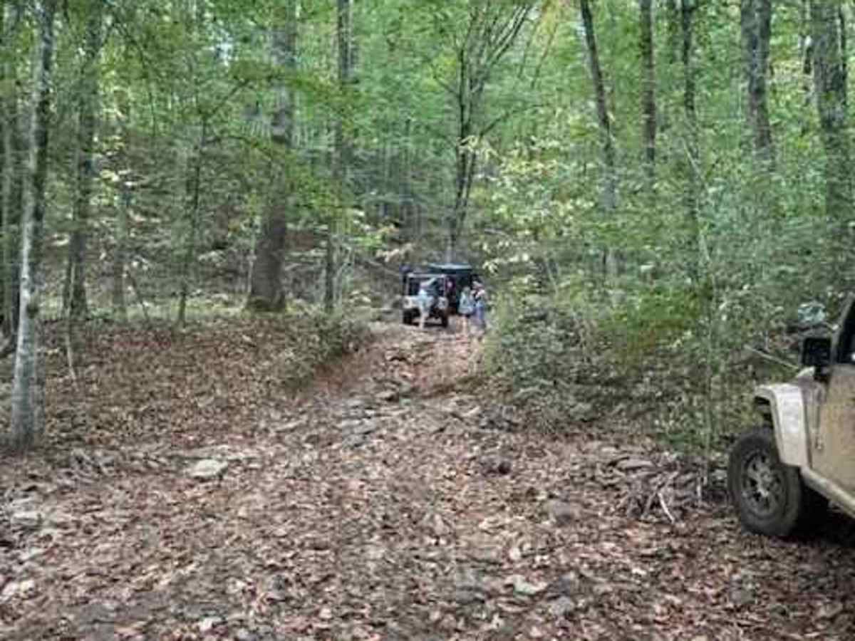
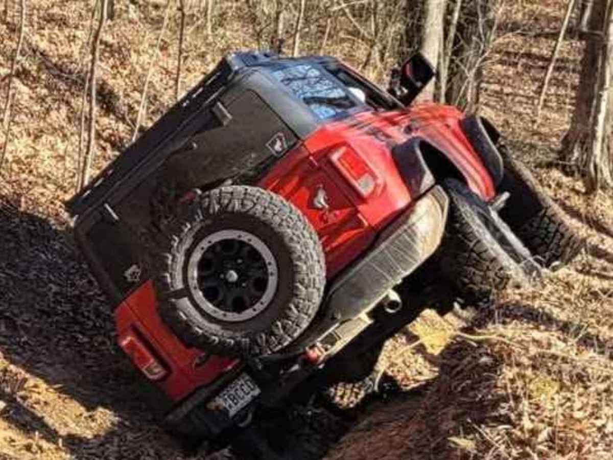
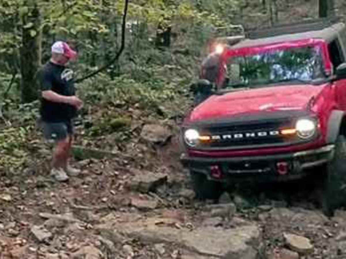
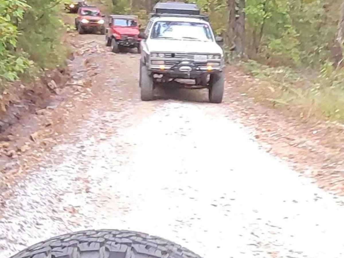
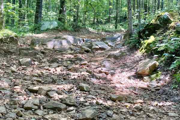
Wolf Pen is a moderate trail featuring several technical sections that demand careful driving, precise tire placement, and smart line choice. The route begins by turning off Wolf Ridge Road and dropping into the Wolf Pen section. Early in the trail, drivers will encounter a washed-out section that requires straddling a rut with controlled positioning. There is no bypass, so maintaining a steady line is critical. As the trail continues, it descends through a tight, narrow section lined with trees and embedded rock. This portion requires slow speeds and constant attention to vehicle placement. After crossing a small creek, the trail transitions into a rocky climb with loose terrain and a small ledge. Near the top, the trail makes a left turn—this climb is manageable but benefits from smooth throttle control and momentum. Wolf Pen is a drop-off style connector trail, departing and rejoining Wolf Ridge, and offers a mix of technical driving and scenic terrain. While not extreme, it presents enough challenge to keep experienced drivers engaged.
Difficulty
There is a washout; if the clay is wet, it will make you slide. Keep a good line or go off camber in a hurry. The Rock Hill Climb is about 100 yards long, with an angled ledge about 16 to 18 inches. The next obstacle is the big rock, where you take a hard left turn, and 1 line is close to the big rock, the other is going over the big rock and over to the dirt. If it is wet, this is more challenging. Loose, large rocks move around from passes, which changes the terrain. After that, there is a rock garden downhill with mudholes and tight turns all the way back to the road.