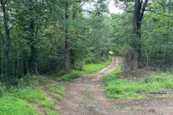
Trail Overview
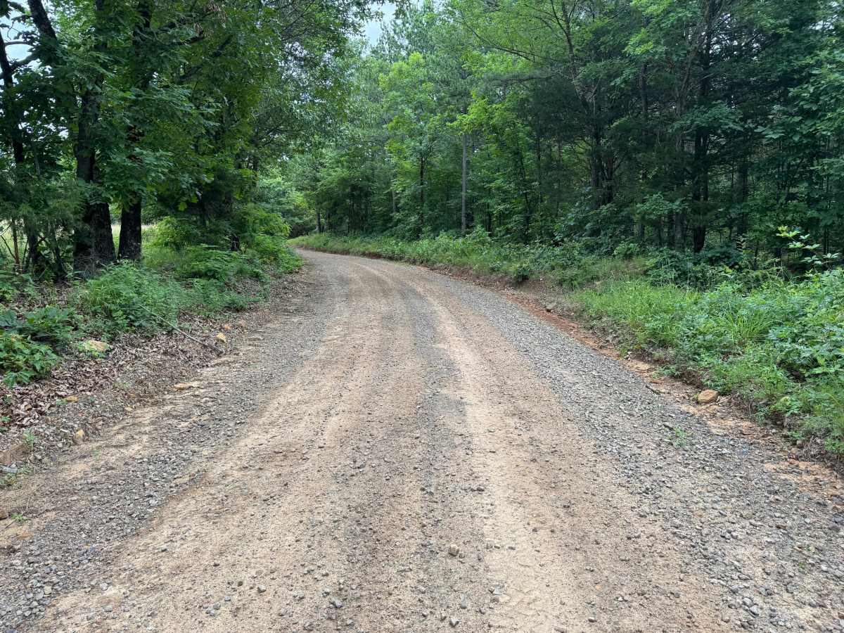
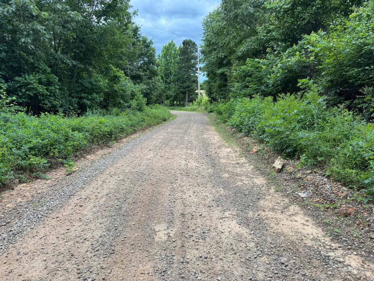
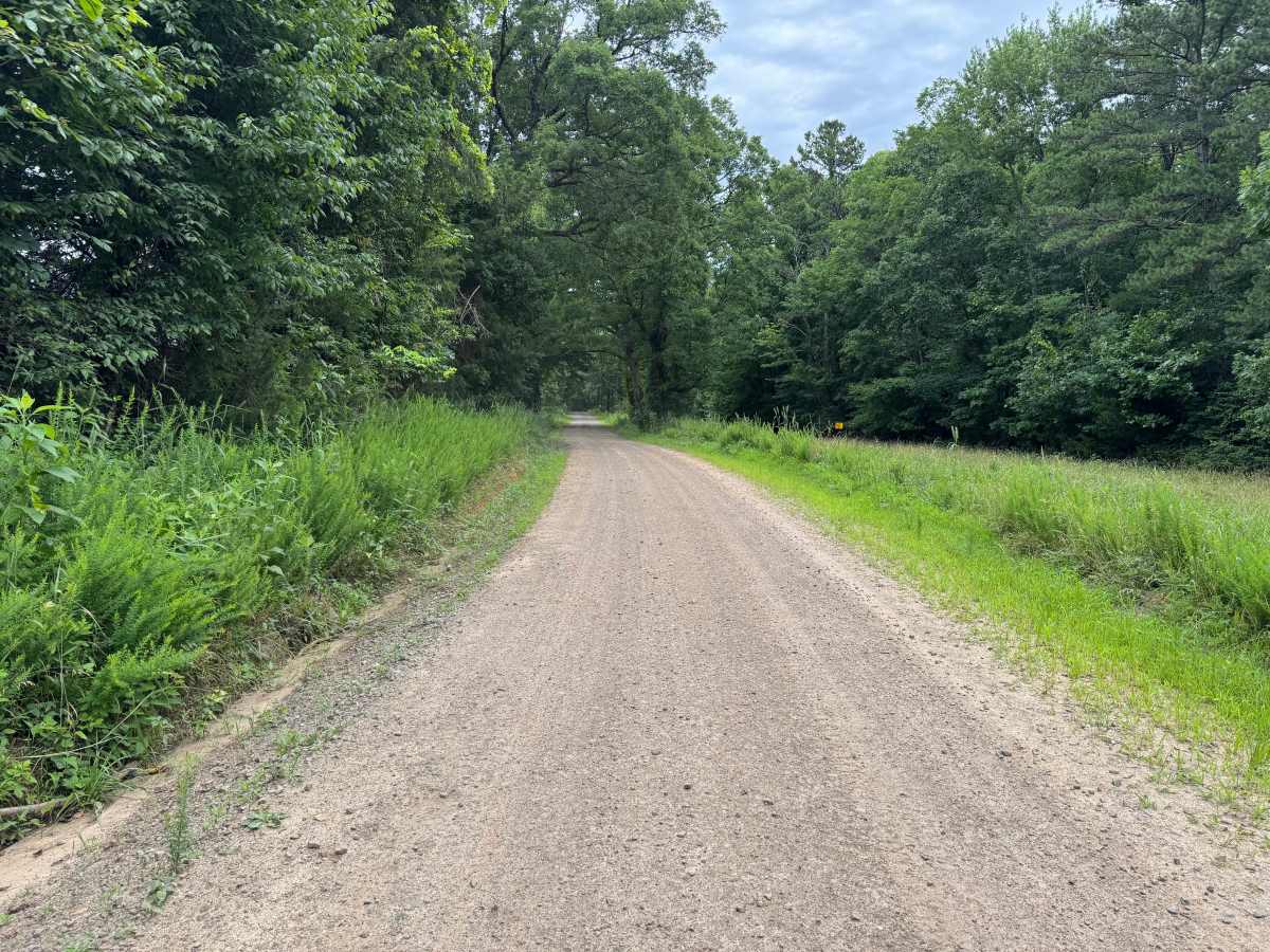
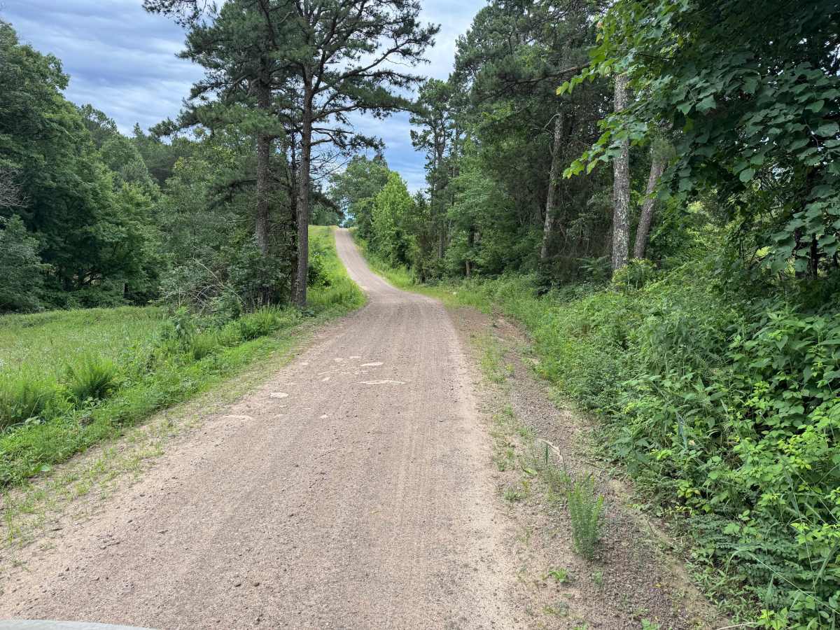
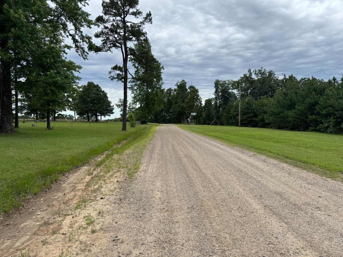
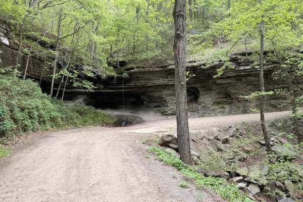
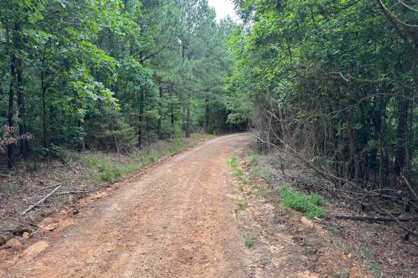
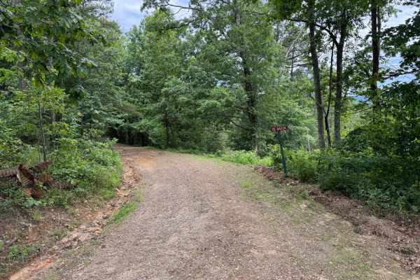
This maintained gravel route offers an easy and enjoyable drive through a mix of dense hardwood forest, towering pines, and open rural landscapes. The road is generally one vehicle wide, though there are several locations where drivers can safely pull off to allow oncoming traffic to pass. As the route winds through the forest, it passes beneath a thick tree canopy before opening to scenic meadows and gently rolling hills that provide long views across the surrounding countryside. Near the end of the route, the trail intersects County Road 4290 at a corner, marking the transition from National Forest to private property. There are no significant obstacles along this route, making it suitable for most high-clearance vehicles in dry conditions. Visitors should also be respectful of adjacent private property by remaining on the designated roadway and avoiding any gated roads or driveways.
Difficulty
Drivers should remain alert for shallow erosion along the road edges, occasional whoops, minor ruts, and loose gravel, particularly after periods of heavy rain. Wildlife is commonly seen throughout the area.
History
The Ozark National Forest was established in 1908 and today forms part of the Ozark-St. Francis National Forests, protecting more than one million acres across northern Arkansas. Many of the Forest Service roads traveled today began as logging, fire access, or resource management roads before becoming part of the modern recreation network. Forest management continues to play an important role in maintaining healthy ecosystems through timber management, prescribed fire, wildlife habitat restoration, and watershed protection. The rugged Boston Mountains and surrounding Ozark Highlands remain one of the oldest and most geologically significant mountain regions in North America, offering visitors a unique combination of natural beauty and rich forest history.