Trail Overview
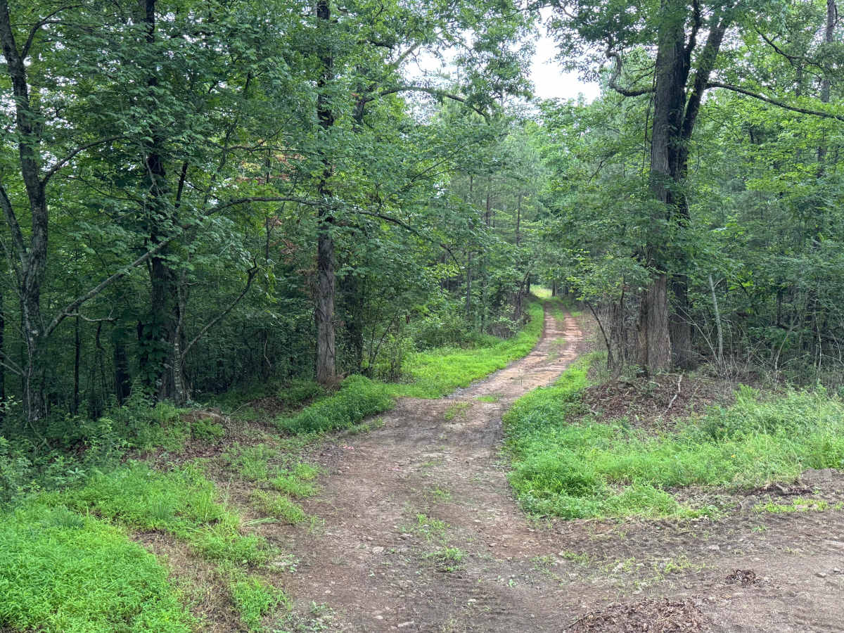
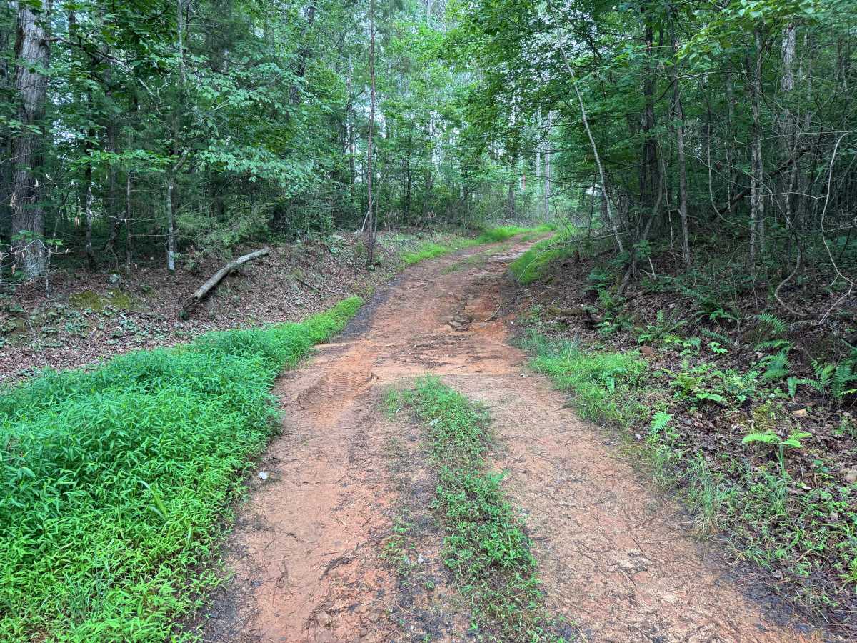
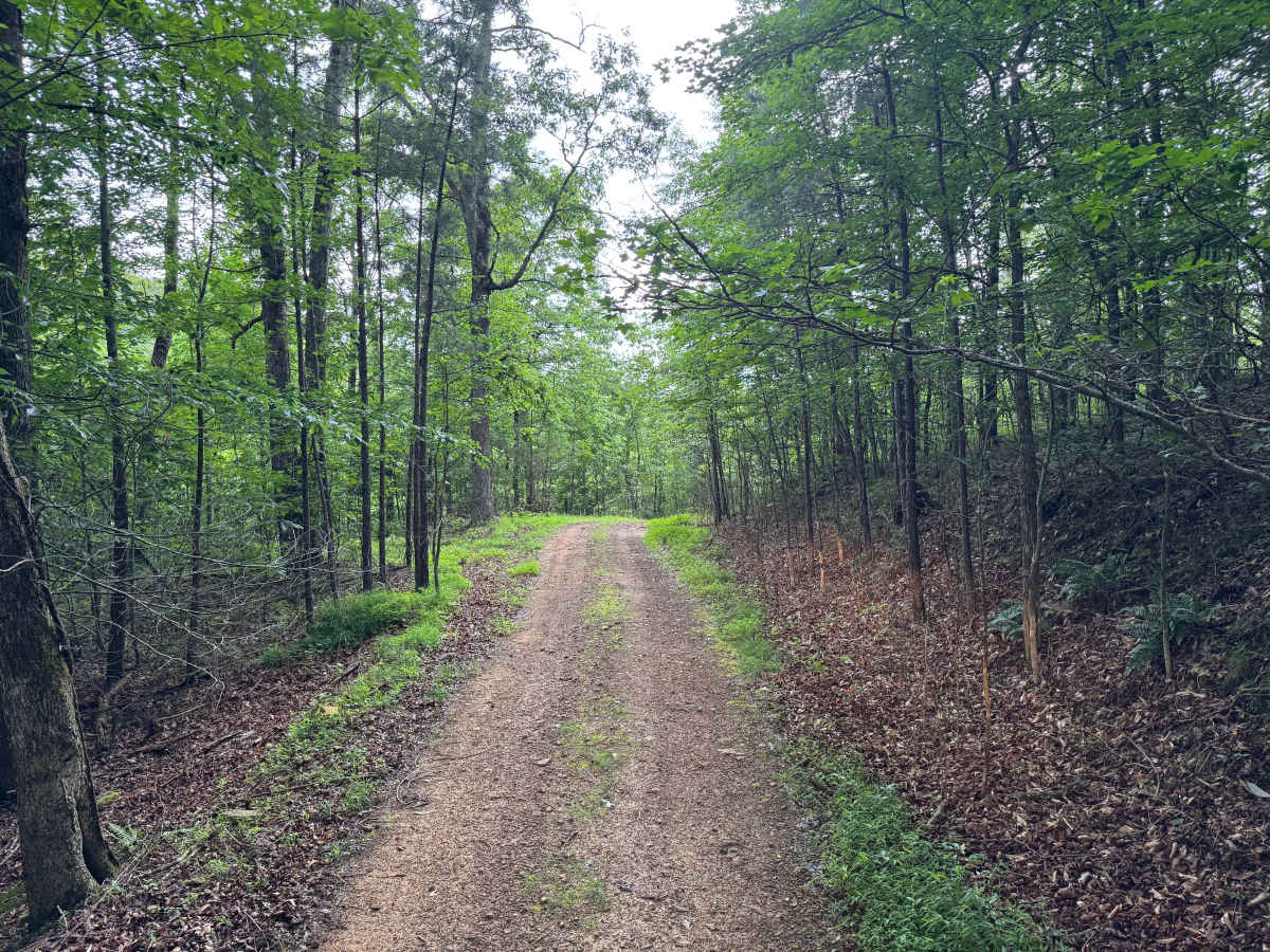
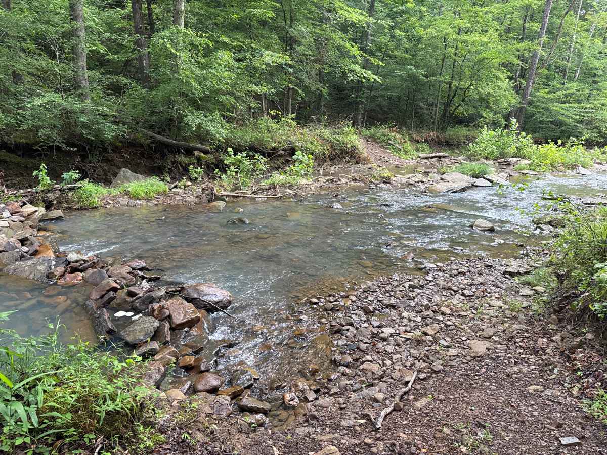
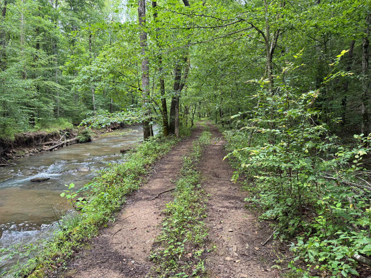
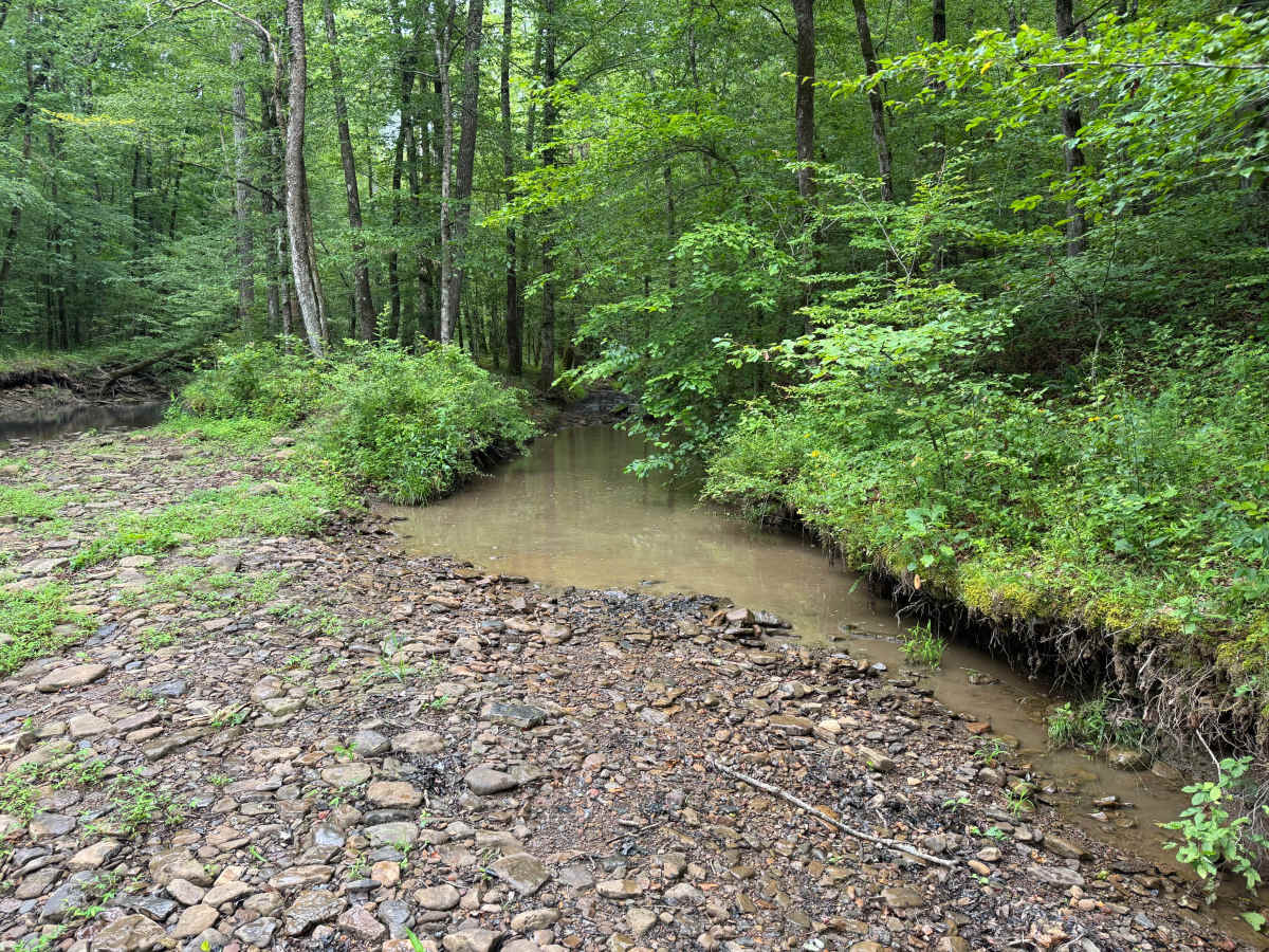
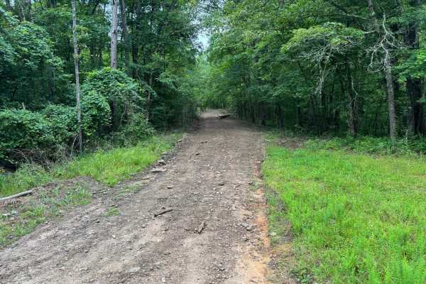
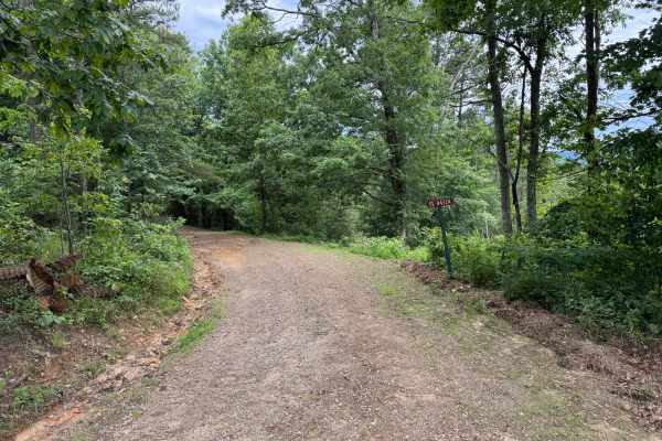
This narrow forest trail offers a more remote and technical experience than many of the surrounding roads. The route remains only one vehicle wide for its entire length, with very few opportunities for two vehicles to pass, making good communication and careful planning important. Towering hardwoods and pines create a dense canopy overhead, while sections of the trail wind through lush vegetation before descending alongside a beautiful rocky creek. Several portions follow the water's edge, providing scenic views of clear flowing water, exposed bedrock, gravel bars, and heavily wooded banks. The trail includes multiple creek crossings that vary depending on recent rainfall. One crossing features a small man-made rock dam designed to slow the water flow, but drivers should still carefully evaluate water depth and current before proceeding. The creek bottoms contain numerous loose rocks and larger boulders, while broad flat stones beneath the water can shift or pivot under tire pressure. These rocks have the potential to become lodged underneath a vehicle, making careful tire placement essential. One section of the trail requires weaving between closely spaced trees, creating a tighter challenge for full-size trucks and longer wheelbase vehicles. Due to the remote nature of the route and evidence of fallen timber, downed trees may completely block the trail after storms. Travelers should be prepared to turn around or carry equipment such as a chainsaw, Silky saw, or reciprocating saw if they intend to clear minor obstructions. Wildlife is common throughout the area, and the combination of creek crossings, rocky terrain, and secluded forest scenery makes this one of the more engaging routes in the area.
Difficulty
**Trail Difficulty: 4/10 (Moderately Easy)**
This trail is suitable for most stock high-clearance 4WD vehicles. Narrow sections, multiple rocky creek crossings, loose and shifting rocks, and tight trees require careful tire placement, especially for full-size trucks. Water levels can increase the difficulty after rain, and downed trees may require turning around if you are not equipped to clear them.
History
The Ozark National Forest was established in 1908 and today forms part of the Ozark-St. Francis National Forests, protecting more than one million acres across northern Arkansas. Many of the Forest Service roads traveled today began as logging, fire access, or resource management roads before becoming part of the modern recreation network. Forest management continues to play an important role in maintaining healthy ecosystems through timber management, prescribed fire, wildlife habitat restoration, and watershed protection. The rugged Boston Mountains and surrounding Ozark Highlands remain one of the oldest and most geologically significant mountain regions in North America, offering visitors a unique combination of natural beauty and rich forest history.