Trail Overview
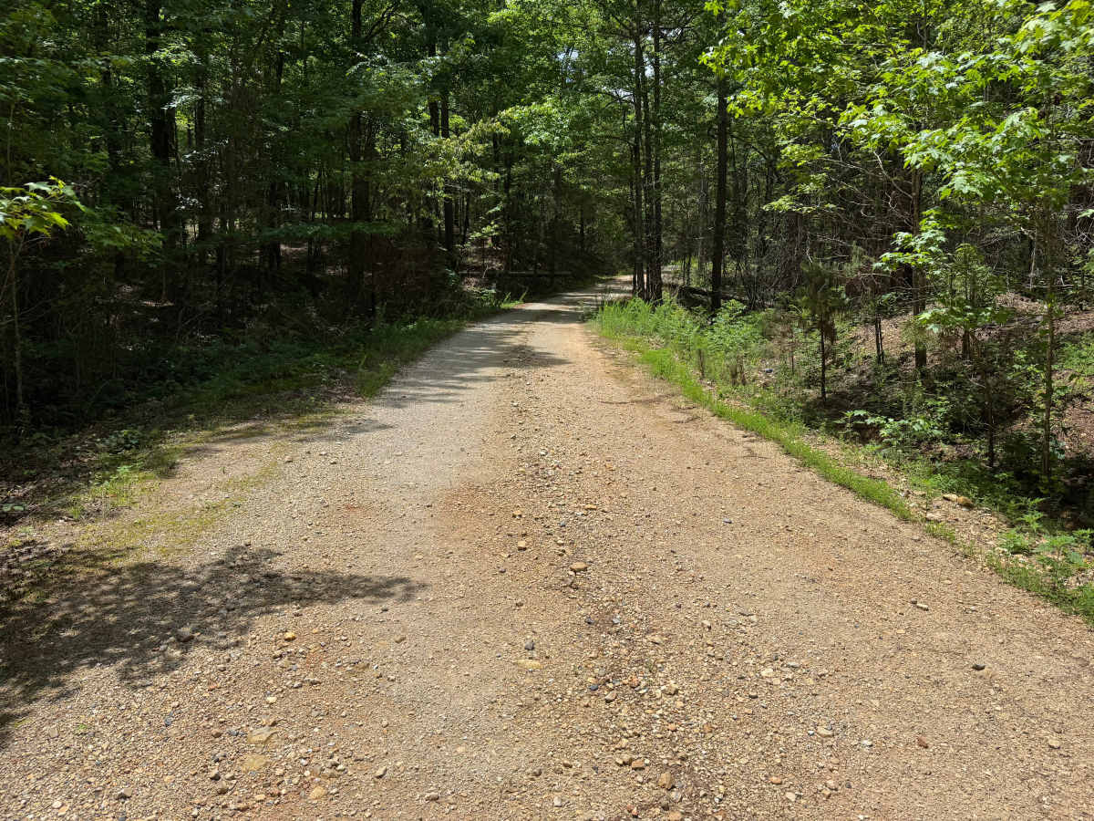
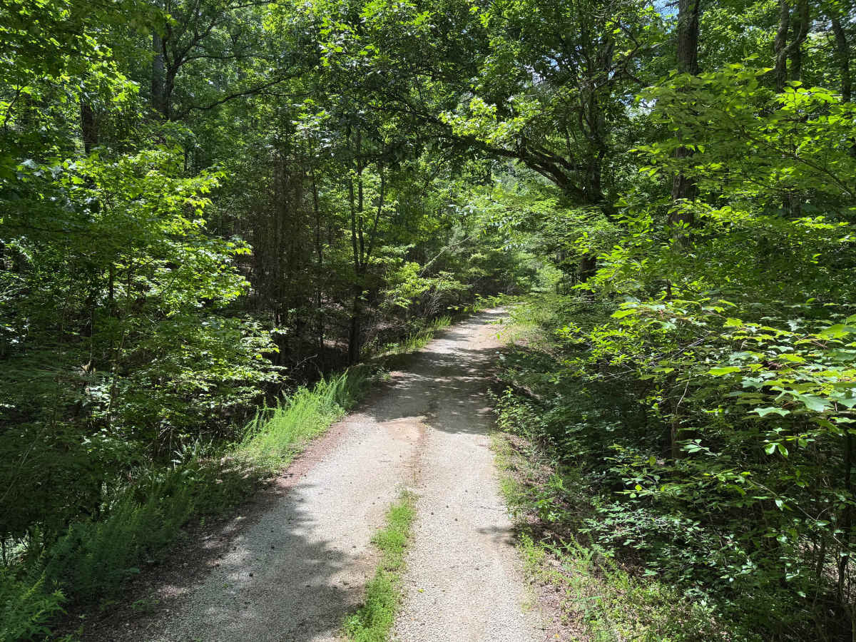
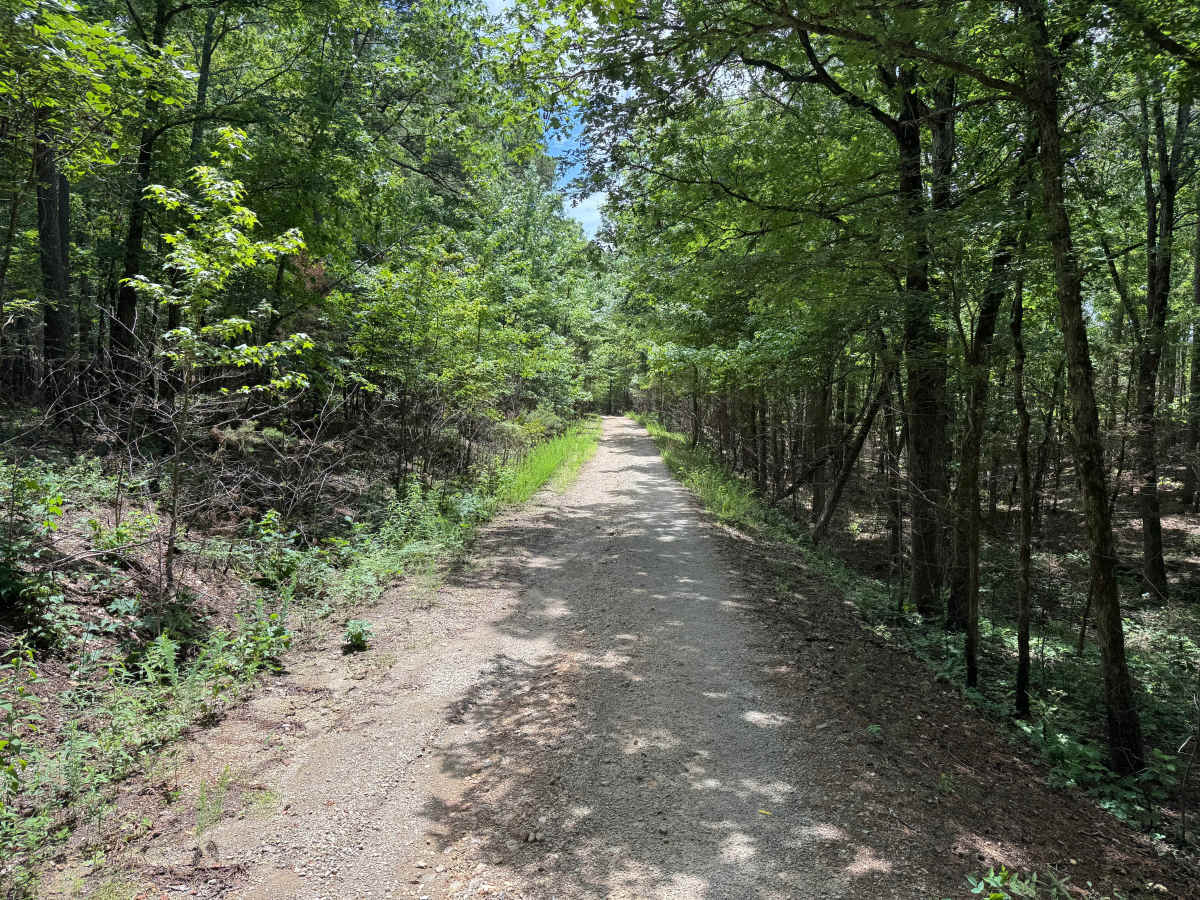
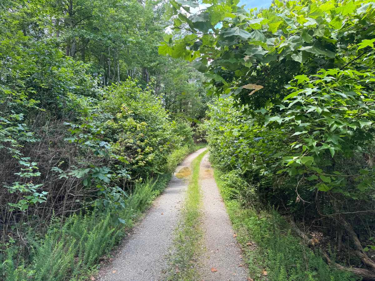
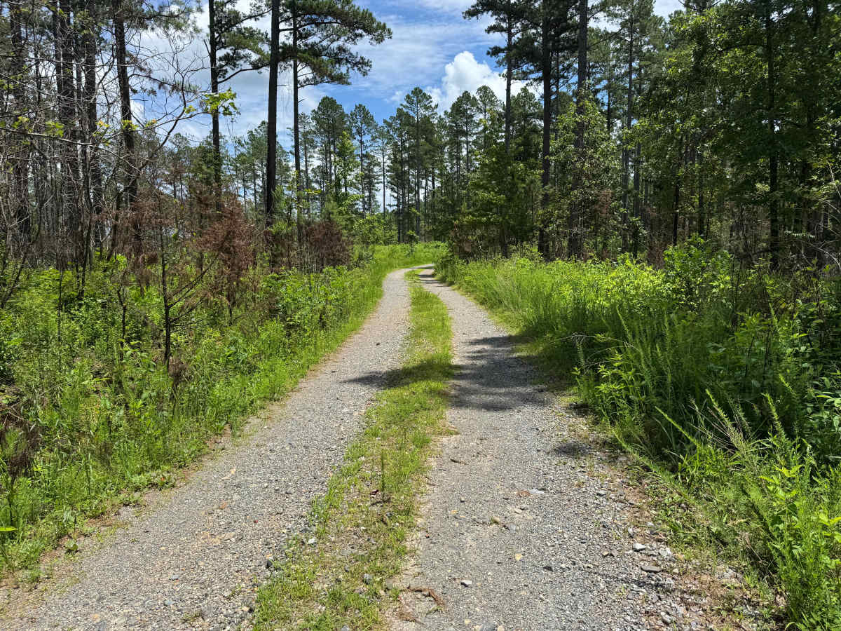
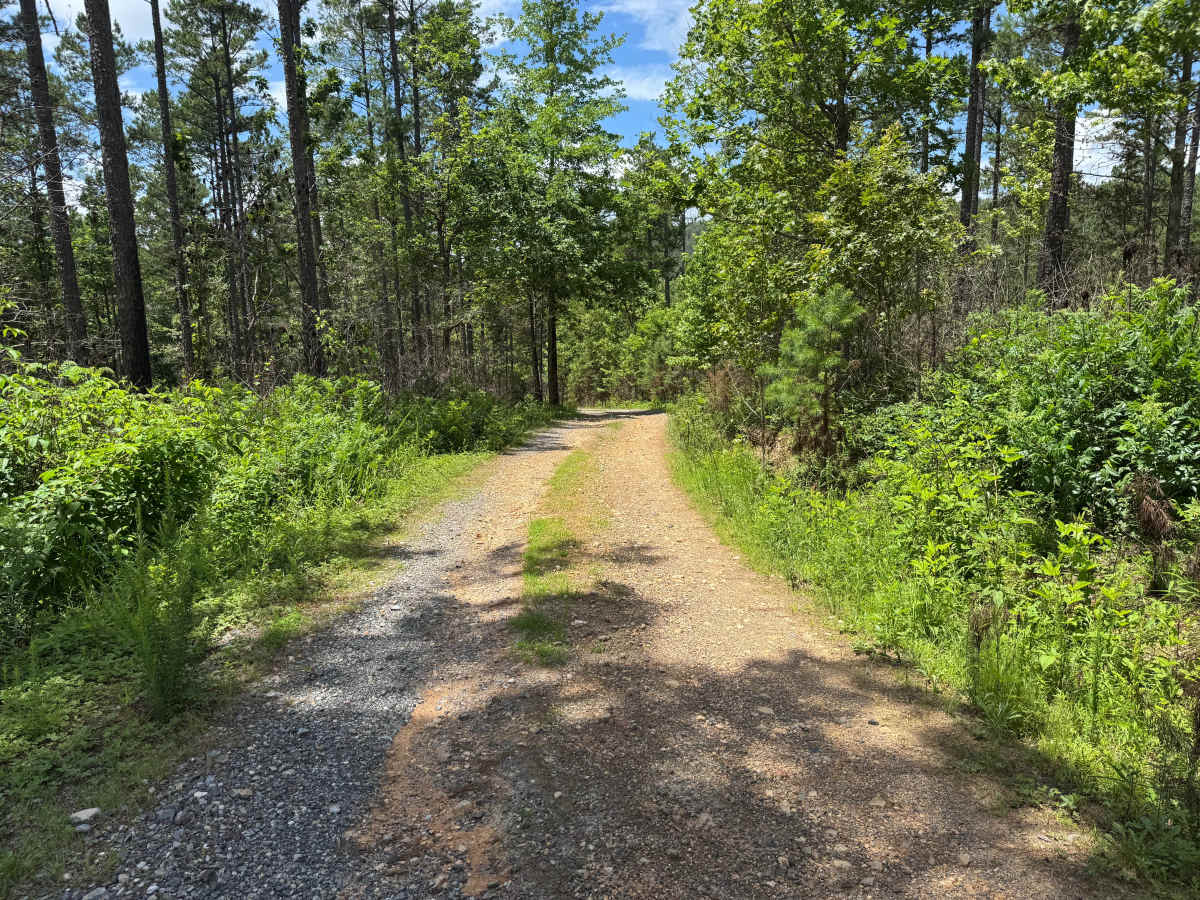
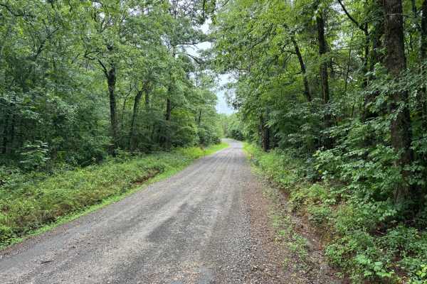
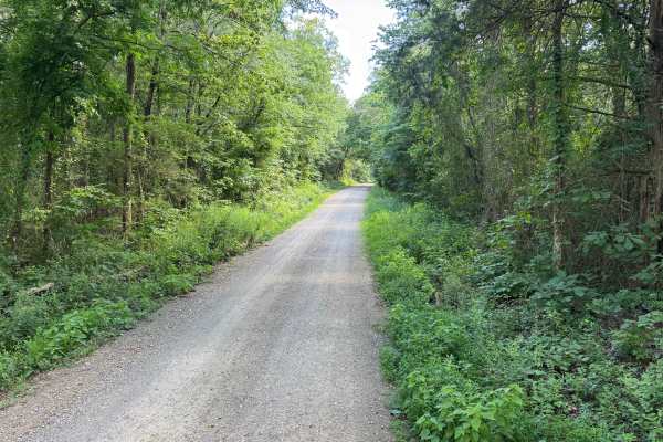
This easy forest road winds through a quiet section of the Ouachita National Forest, offering a relaxing drive beneath a dense canopy of hardwoods and scattered pine trees. The route follows gentle terrain through wooded hollows, creating a secluded backcountry experience with very little technical difficulty. The road surface is primarily composed of well-maintained gravel and crushed stone with a solid base suitable for most high-clearance vehicles and many stock SUVs. A grassy center strip is present along portions of the route, though it does not interfere with travel. Drivers should be aware of vegetation growing close to the roadway, as narrow sections may result in minor pinstriping from branches and brush. Aside from occasional puddles following rainfall, there are no notable obstacles, steep grades, water crossings, or challenging terrain features. This route is best suited for travelers looking for a scenic and easy drive through the forests of the Ouachita Mountains while exploring the area's extensive network of backcountry roads.
History
The Ouachita National Forest was established in 1907 and is recognized as the oldest national forest in the southern United States. Many roads found throughout the forest today originated as logging, timber management, fire access, or resource extraction routes before becoming part of the modern Forest Service road network. Forest management remains an important part of the landscape, and travelers may encounter evidence of prescribed burns, timber thinning, and habitat restoration efforts. The Ouachita Mountains themselves are among the oldest mountain ranges in North America and are notable for their unique east-west orientation.