Trail Overview
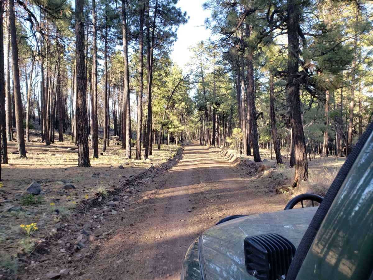
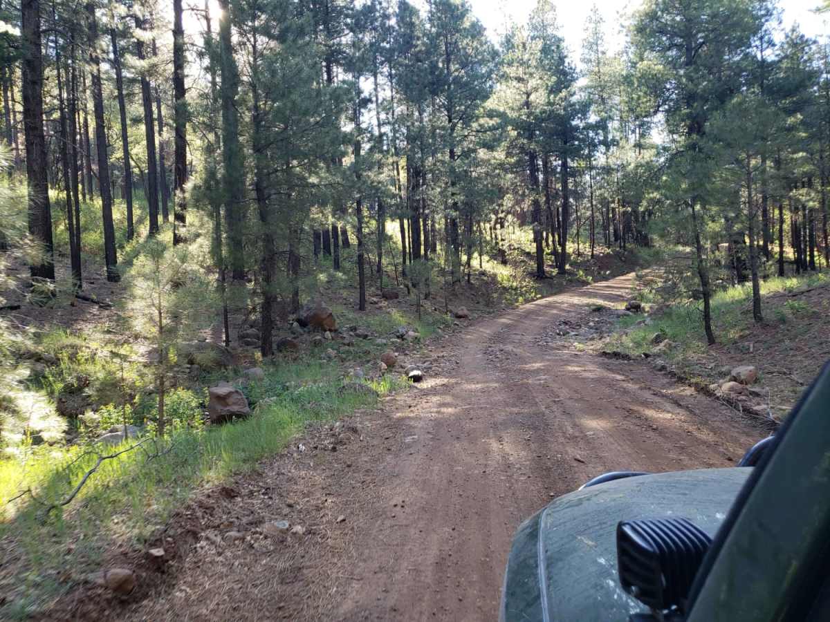
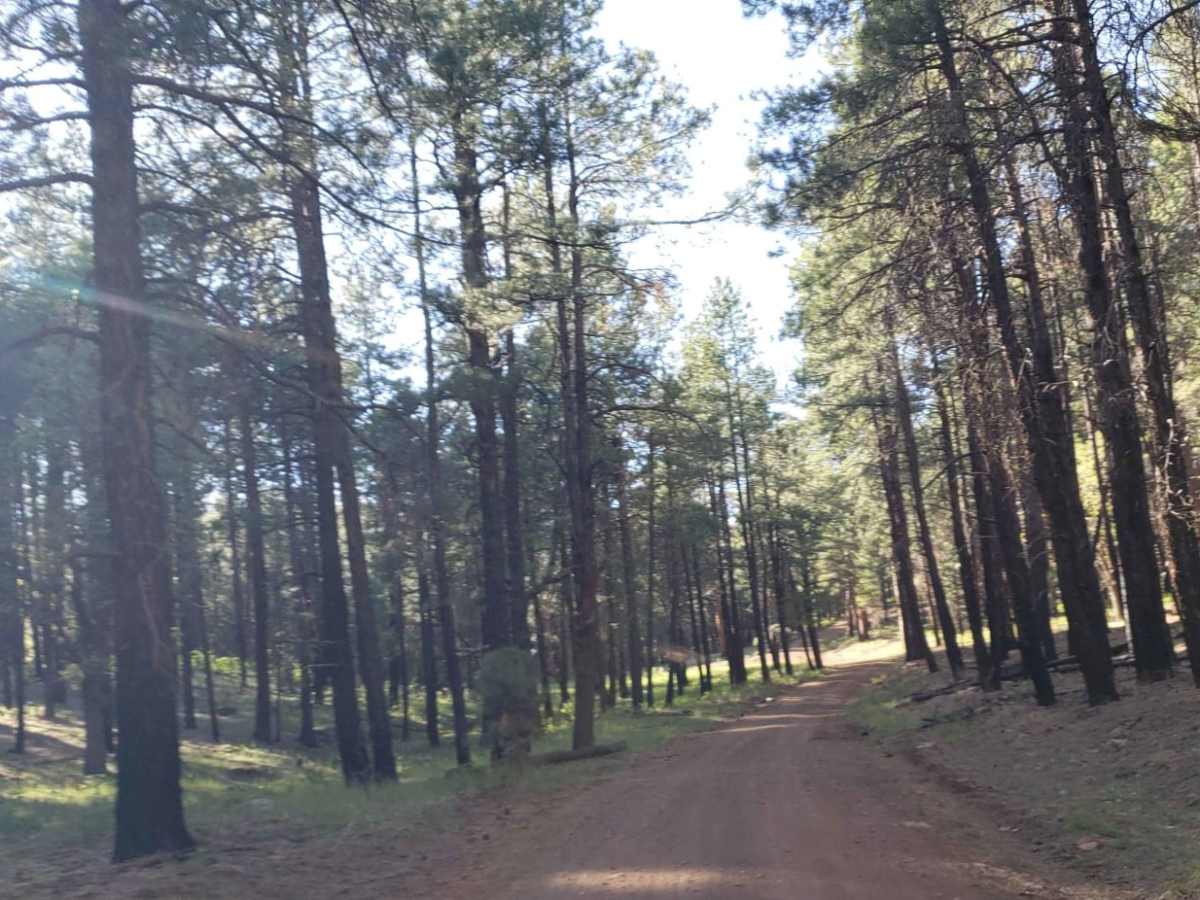
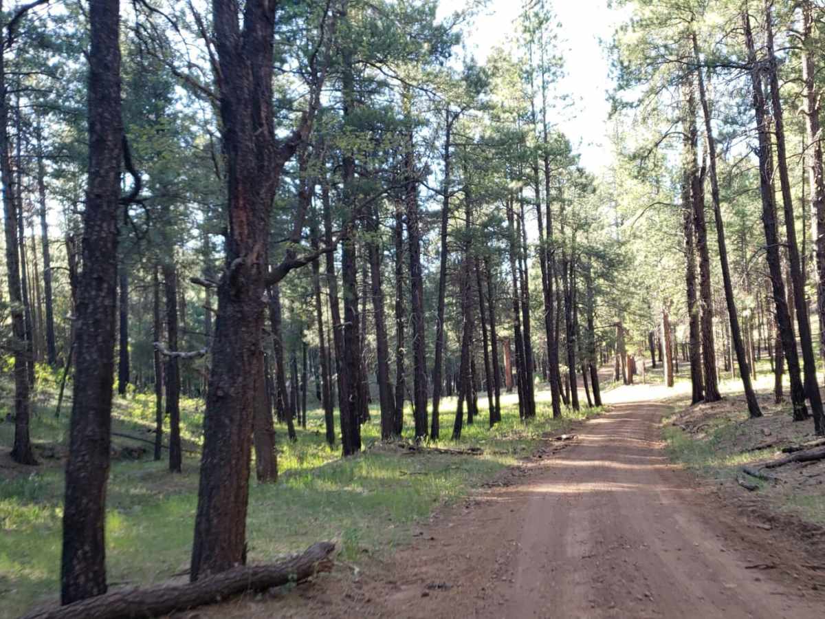
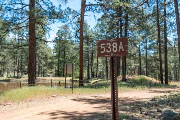
Turkey Butte is an easy, scenic 6.8-mile off-road trail winding through the beautiful Coconino National Forest, making it perfect for beginners and seasoned drivers alike who want to explore northern Arizona's rugged backcountry. Running at elevations between 6,686 and 7,167 feet, this trail features mild climbs with just under 600 feet of total elevation gain, making it accessible to most four-wheel-drive vehicles, high-clearance SUVs, and SxSs. The route begins near the intersection of Forest Road 231 (Woody Mountain Road) and runs past key water features like Farnow Tank and Turkey Butte Tank, skirting the base of the prominent 7,365-foot Turkey Butte peak. Along the way, offroaders will navigate a mix of maintained dirt and gravel surfaces, though some sections are narrower and only wide enough for a single vehicle, requiring drivers to keep an eye out for oncoming traffic.
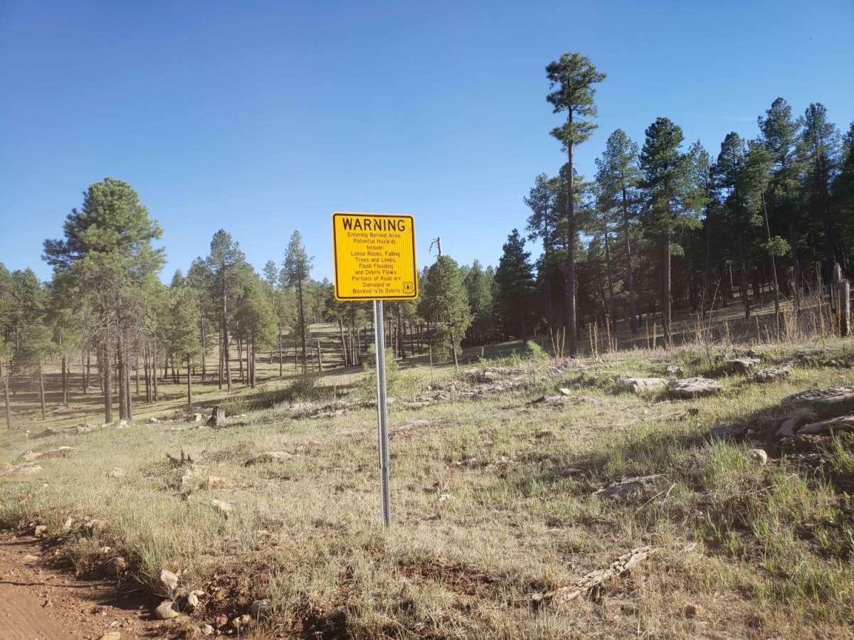
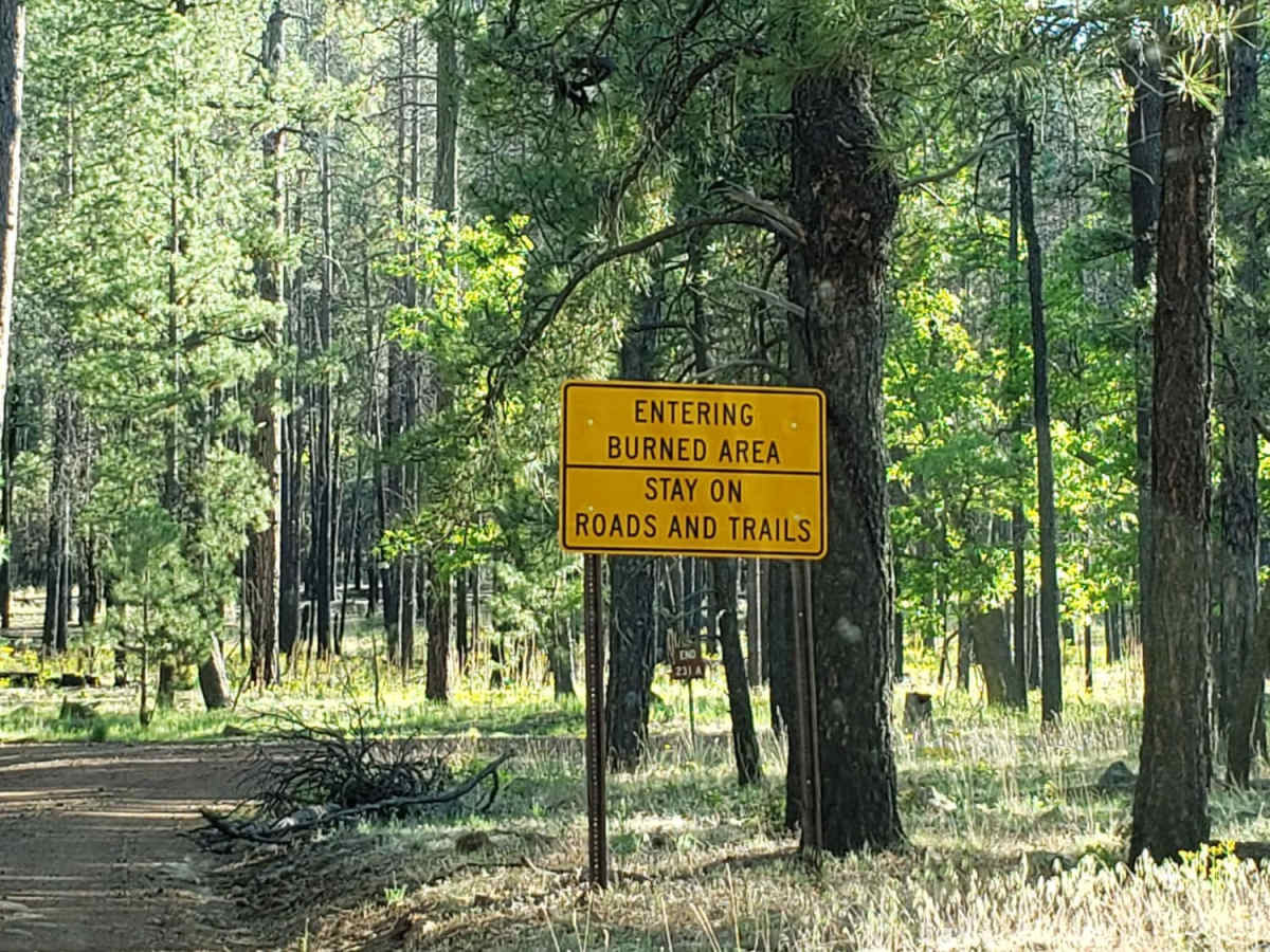
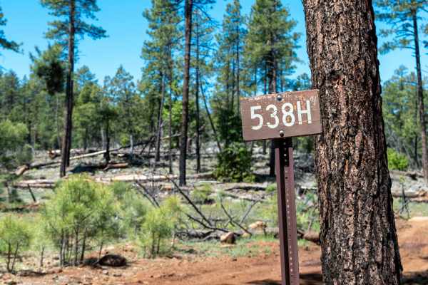
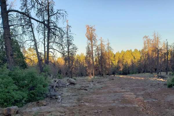
Due to its higher elevation, the trail is not winter maintained and can become incredibly muddy, slick, and challenging during wet weather or spring snowmelt. The route meanders through a historical burn area, which means visitors must stay alert for hazards such as falling trees, loose rock debris, potential landslides, and sudden flash floods during the monsoon season. Despite the past fire damage, the area is teeming with wildlife, particularly deer and elk herds that are frequently spotted grazing near the road or watering at Tram Tank. The trail serves as a primary access corridor to the historic Turkey Butte Lookout tower and connects to several adjacent forest roads, providing ample opportunities for side trips and extended exploration of the Secret Mountain area.
History
The trail provides access to Turkey Butte Lookout, a historic forest fire lookout tower established to monitor the surrounding Coconino National Forest and the nearby Sycamore Canyon and Secret Mountain areas. The surrounding forest has been impacted by wildland fires over the years, showcasing the forest's ongoing natural recovery and regeneration processes.