Trail Overview
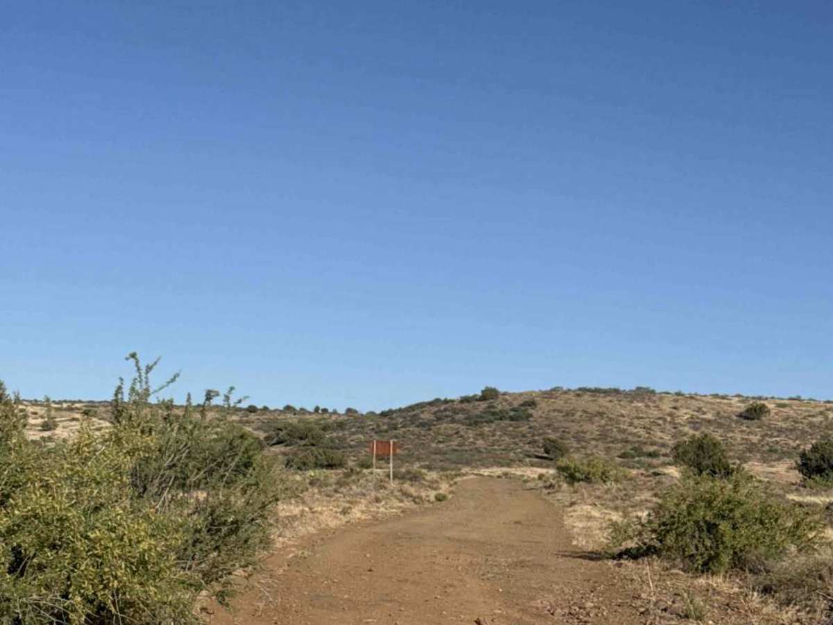
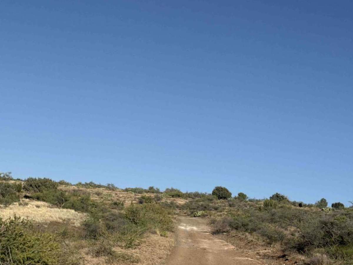
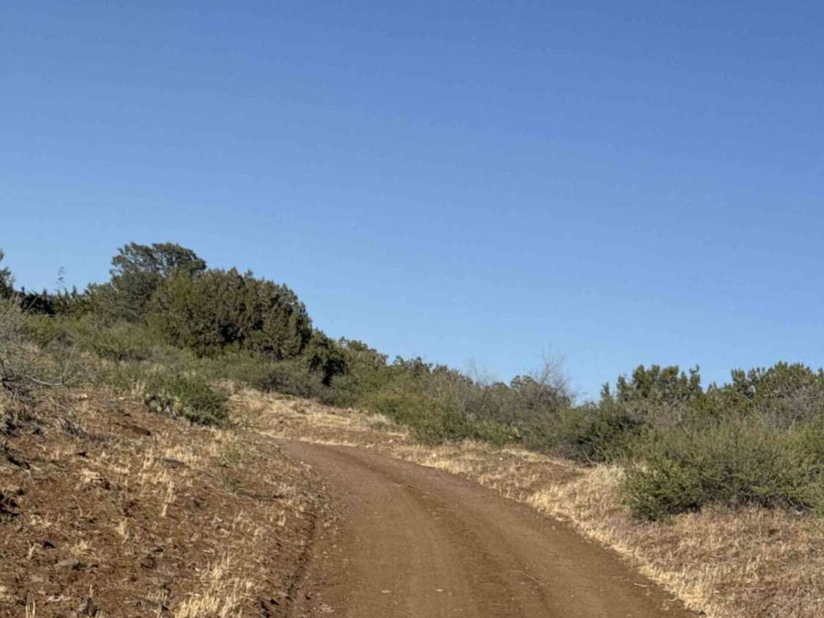
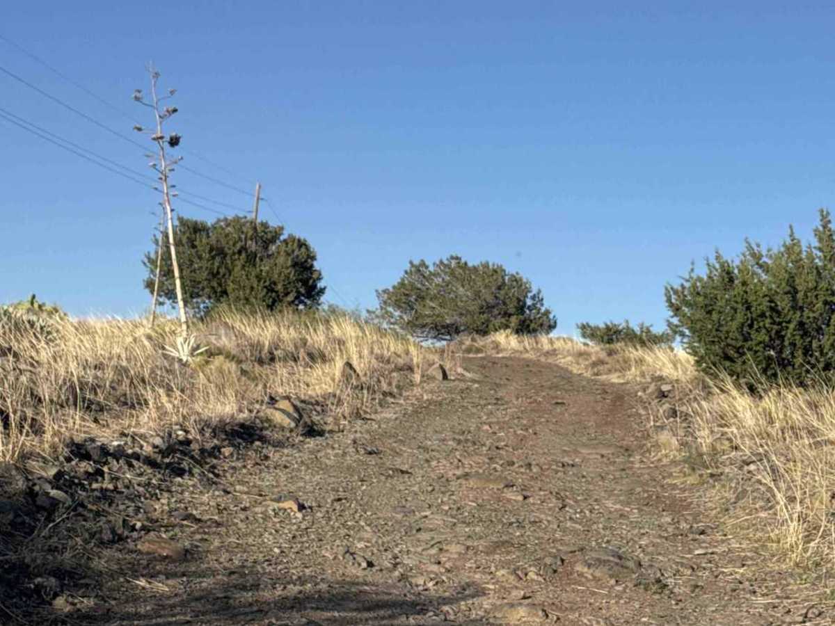
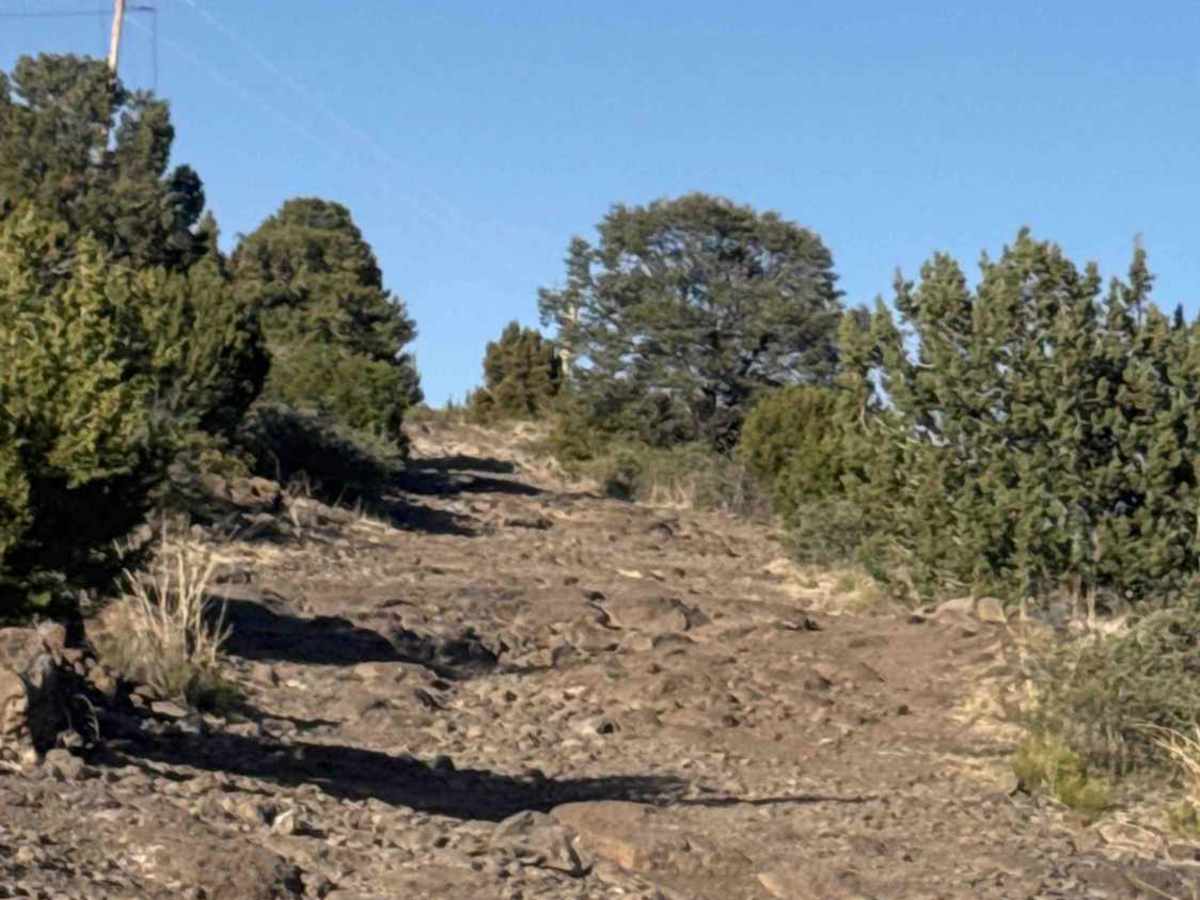
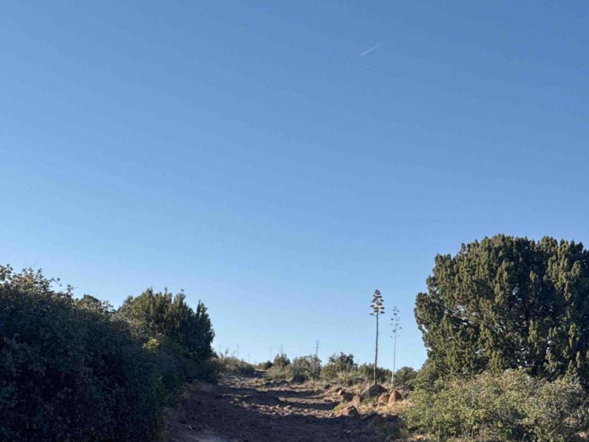
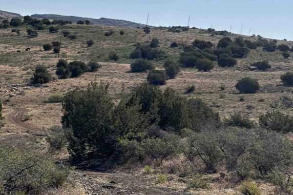
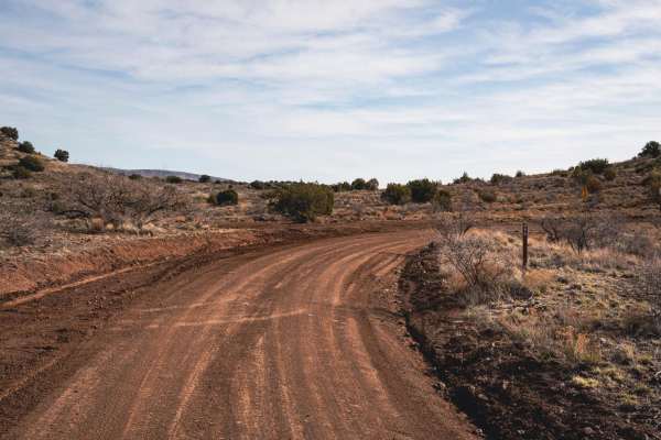
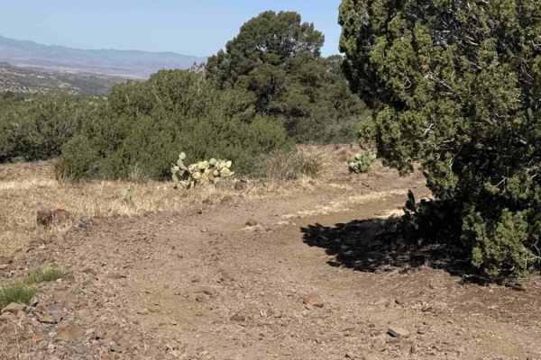
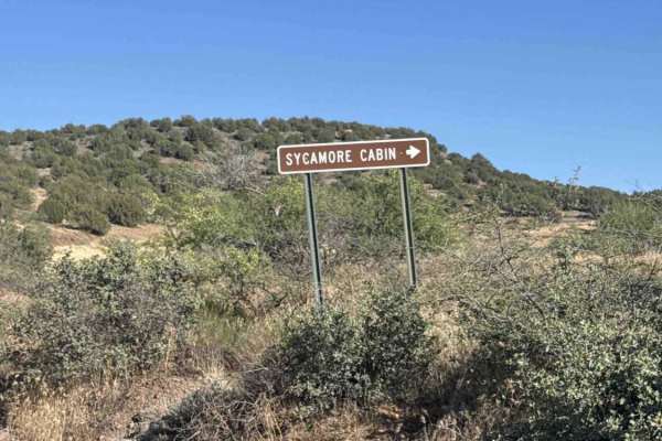
Trail 68G begins at the Y intersection off Trail 68 / Double T Road. Signage warns of “No River Crossing 20 Miles Ahead at a locked gate,” although the exact crossing referenced remains unclear. Also, a second sign warns that Heavy fines are in place for travel in wet weather. This is an out-and-back trail that progressively becomes much more technical the farther you go. The trail starts as a wide and relatively smooth gravel road with occasional ruts and washouts. Early sections are easily passable and climb gradually through classic Arizona high desert terrain, with natural grasslands, prickly pear cactus, creosote, and yucca. Expansive views of surrounding mountain ranges open up in every direction. As elevation increases, the trail surface changes dramatically. Loose rocks begin increasing in both quantity and size. Before the trail curves eastward, conditions become noticeably more difficult, with unavoidable rock obstacles ranging from 6 to 12 inches and frequent sections containing 18+ inch rocks. Some rocks are loose while others are embedded in the trail surface. Around 4-5 miles in, it becomes significantly more technical, and high clearance becomes necessary. Careful tire placement and line selection are critical to avoid contact with important vehicle components. Off-road tires and the use of 4H or 4L become beneficial for much of the remaining trail. Several rock gardens offer multiple line choices, so spotting ahead is highly recommended. From this point forward, smooth sections become rare. A few dispersed campsites and camp rings can be found along the upper portions of the trail. Near the upper section at the Y intersection, a camp ring sits on the left near an SxS/ATV route. A warning sign marks the ATV trail as having a “point of no return” with no turnaround area. Judging by the terrain, the route appears extremely difficult, steep, and intended only for those capable of driving down it. The gate passage is narrow, meant only for ATV/OHV/MOTO/SxS. This trail continues right at the Y. The trail extends roughly another two miles. Just when the trail appears to smooth out, the rock obstacles return, and the route narrows considerably. Overgrown brush, tight trees, and a section on a shelf road become the next obstacles. Vehicles equipped with rooftop tents, awnings, or tall truck campers should use caution due to limited overhead clearance. The trail eventually passes the Verde Rim Trailhead. No formal parking area was found at the trailhead, which provides access for hiking and horseback riding. The fence line nearby appears to mark the boundary between the Tonto and Prescott National Forests. Beyond the trailhead, vegetation becomes increasingly overgrown, and the trail narrows again as it winds along the cliffside. The route ultimately ends near the tank, although tree growth heavily limits access for anything larger than extremely narrow vehicles. There are several areas suitable for dispersed camping near the end of the trail. Remember that camping is prohibited within 0.25 miles of any tank or spring. This trail is a continuously technical route that steadily increases in difficulty after mile 4 and does not significantly improve thereafter. This trail is best suited for experienced off-road drivers with properly equipped high-clearance vehicles. Come prepared to camp, especially if you start late in the afternoon. This is a long trail; exhaustion and darkness will make a nighttime return more difficult.
Difficulty
Rocks, rock shelves, and boulders continuously climb in both directions. Rock obstacles, 4WD, high clearance mandatory, impassable in wet conditions. Relentless rock challenges.
History
FS68G runs through the Tule Mesa area of the Prescott National Forest near Dugas and the Verde Rim. The route itself is more of an old Forest Service access road than a formally named “historic trail,” but the surrounding area has a deep history tied to ranching, mining, and early hydroelectric development. The nearby community of Dugas began growing in the early 1900s during construction of the Childs-Irving hydroelectric system on the Verde River. Workers and ranching families used these rough wagon routes long before they became numbered Forest Roads. Forest Road 68 and later spurs, such as FS68G, served as access roads for ranches, fire control, powerline maintenance, and timber access along the Verde Rim and Pine Mountain country. The route follows terrain historically used by ranchers moving cattle between the lower desert winter range and the higher summer grazing areas. Tule Mesa itself sits along the Verde Rim overlooking the Verde River drainage. The Mesa area was historically traveled by Native peoples long before the Forest Service designation, especially between water sources and seasonal hunting grounds throughout central Arizona. While FS68G is modern by comparison, many of these roads loosely follow older travel corridors.