Trail Overview
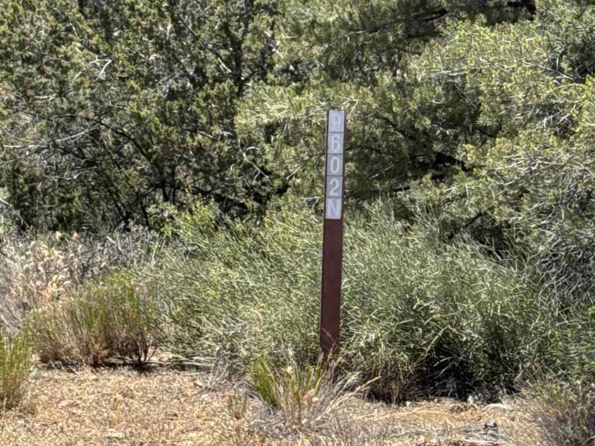
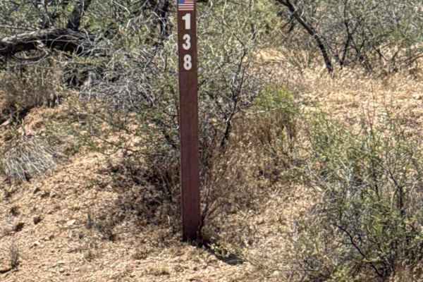
FS 9602N begins at the Y intersection off FS 138 and is a point-to-point trail connecting to two additional backcountry routes deeper in the area.
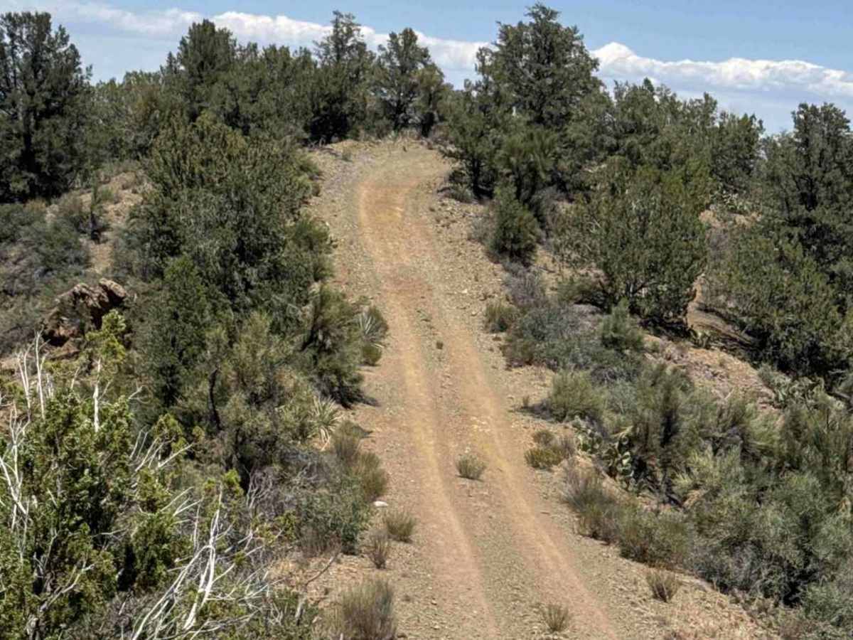
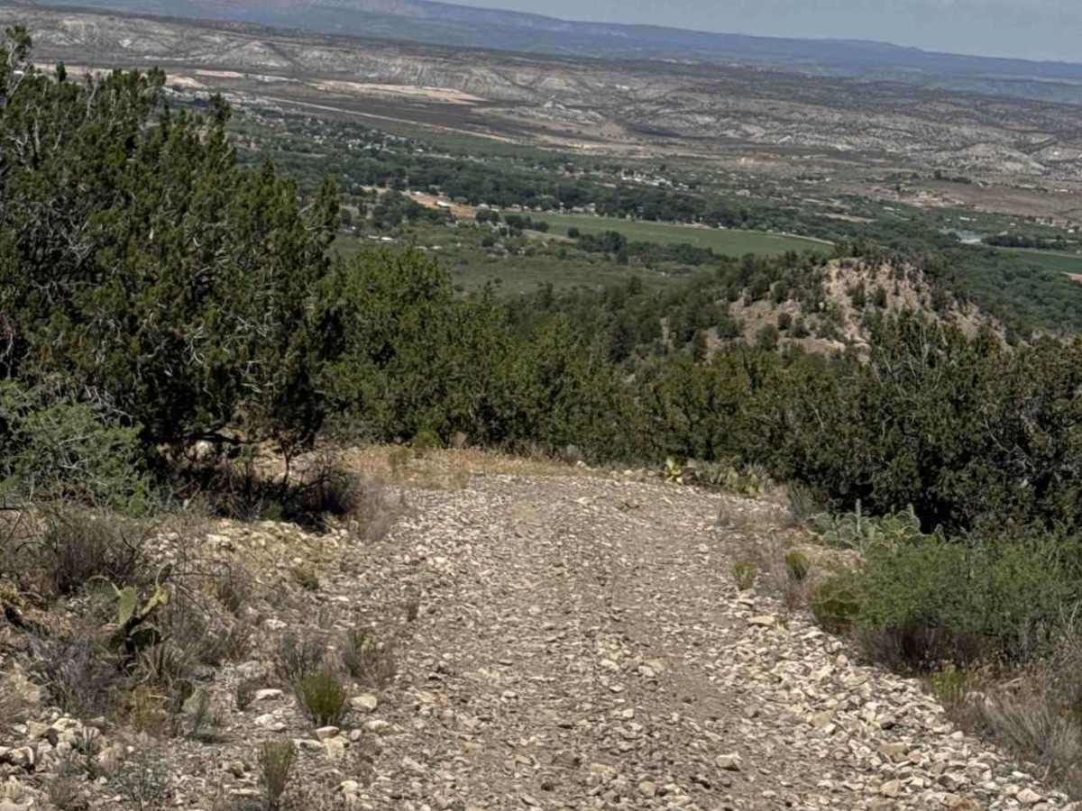
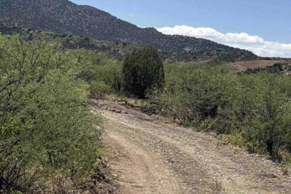
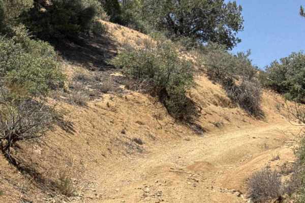
The trail features a mix of shelf-road sections, steep hill climbs, and loose rocky terrain with larger embedded rocks scattered throughout several sections. Drivers should pay close attention to erosion and washouts during hill transitions, as some narrowed sections can become off-camber and tight.
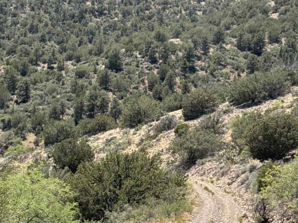
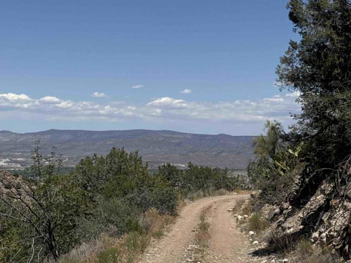
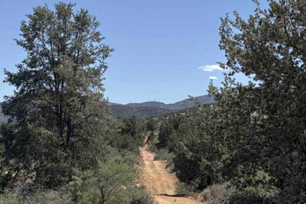
The surrounding landscape is classic Arizona backcountry terrain lined with creosote, juniper, prickly pear, ocotillo, and scattered pine trees at higher elevations. Views open up frequently as the trail wraps around the mountainside.
Although older maps may show the route traveling directly over the mountain, the current usable track now contours around the mountain instead of climbing straight across the ridge.
One of the highlights along the route is North Mine Spring, located near where the old trail traverses straight up and over. The area contains a small cave, flowing water, and a surprisingly lush pocket of green vegetation and trees surrounding the spring.
The trail eventually reaches the intersection with FS 9602M, where the route effectively ends for full-width vehicles. Beyond this point, the trail narrows considerably and transitions into an SxS/ATV-sized route better suited for smaller off-road vehicles. At this point, depending on which way you came from, you can connect to 2 trails near this point to continue your ride.
Difficulty
Ruts, washouts, shelf road, hill climbs, impassable in bad weather, 4WD high clearance necessary