Trail Overview
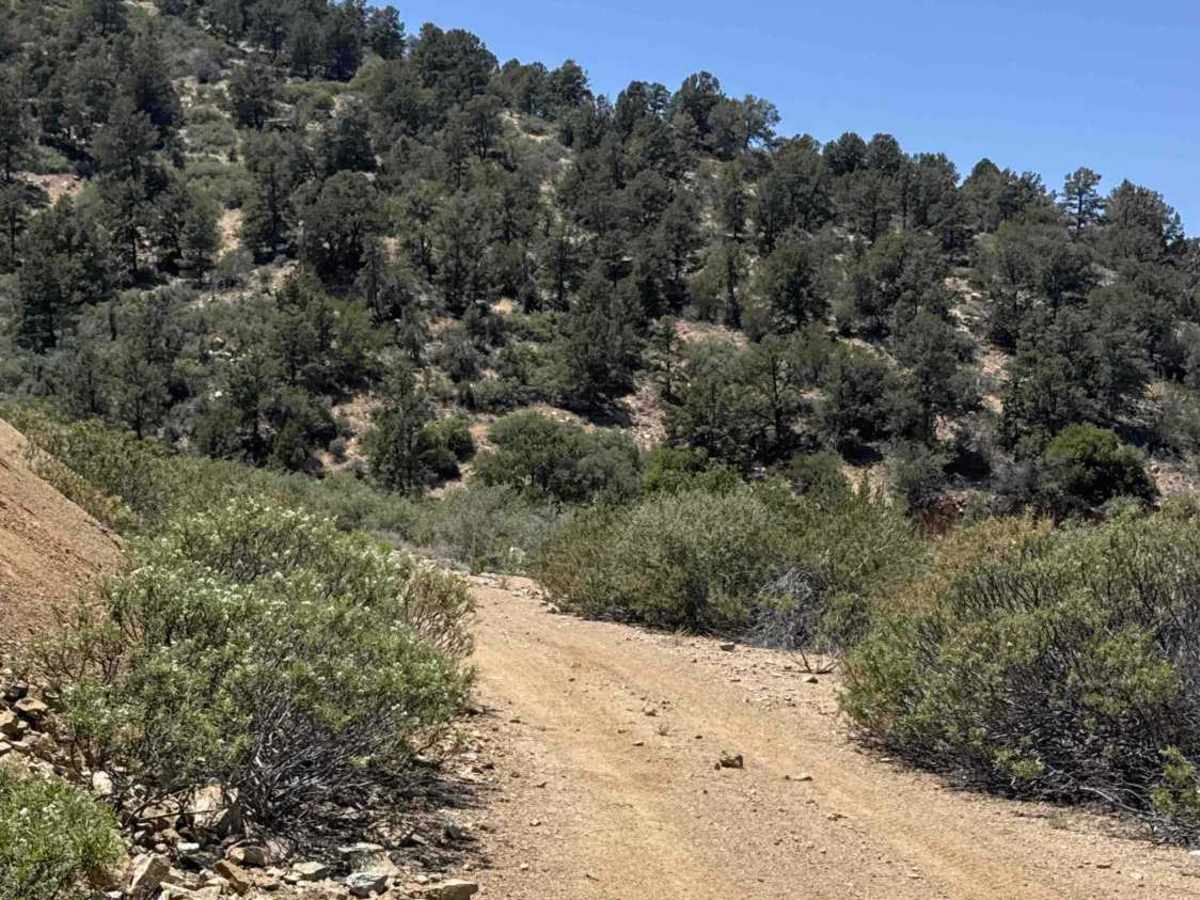
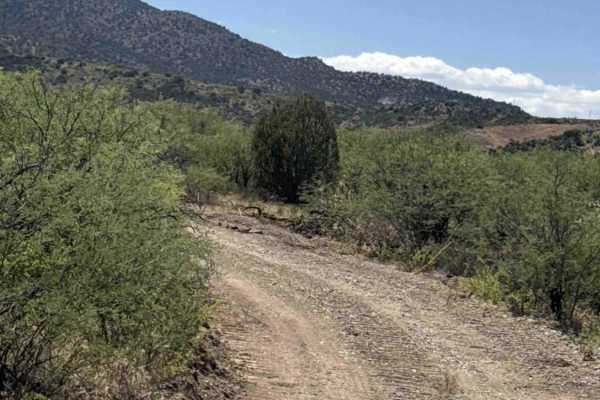
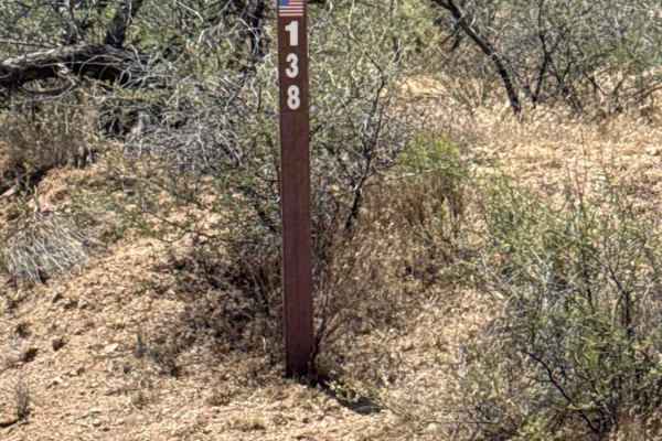
FS 9602M begins as a continuation of FS 138 just past the mine area. Shortly after the start, the trail splits at a Y intersection. Stay left at the Y, as the route continuing toward the mine no longer exists.
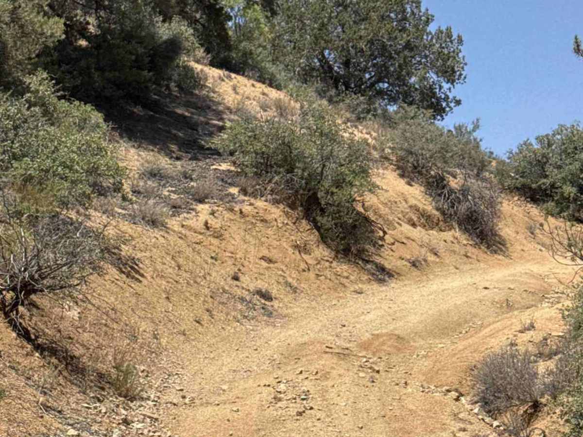
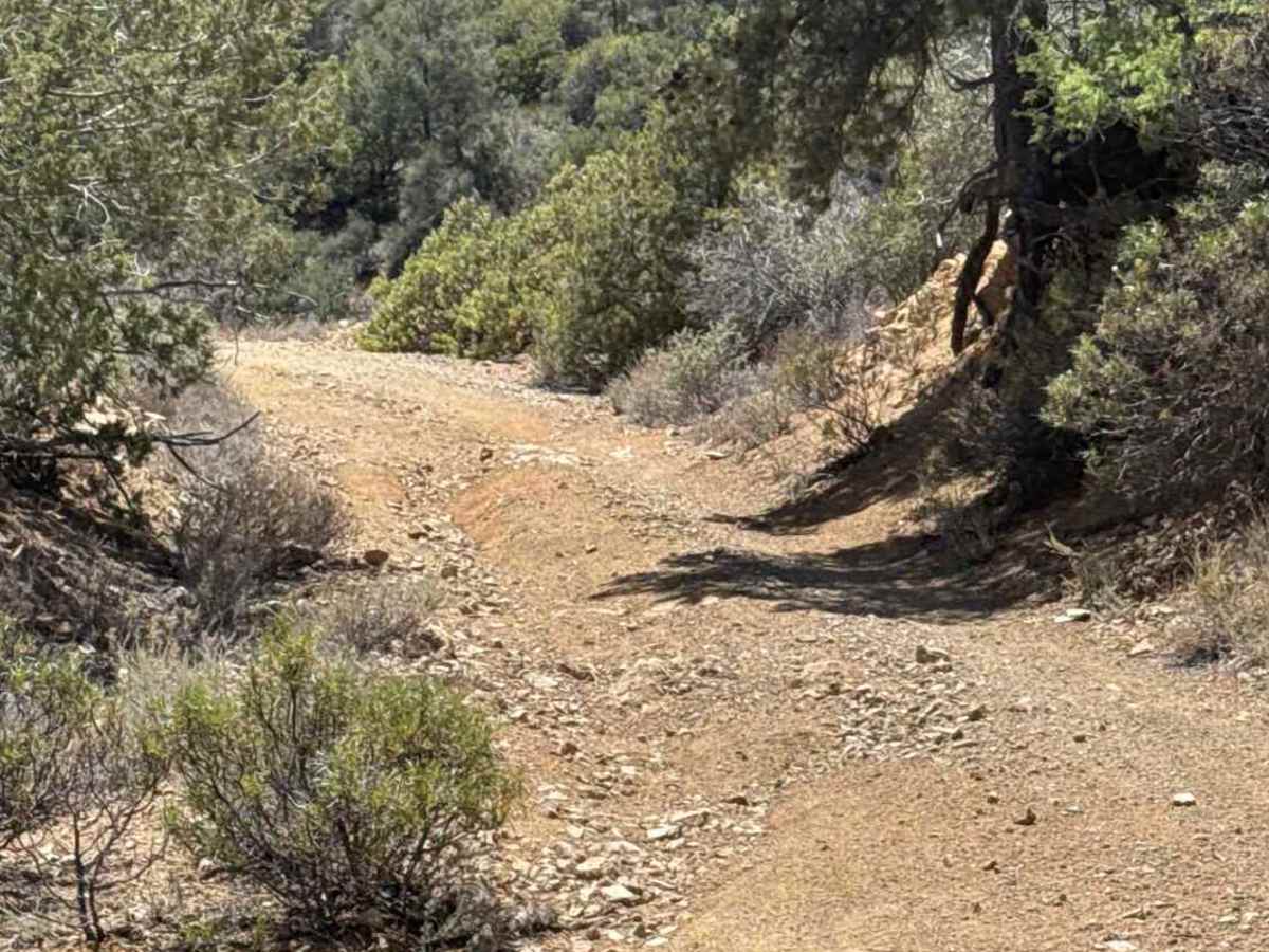
This trail quickly becomes narrow and rugged with major washouts, shelf-road sections, and several off-camber areas carved into the mountainside. Extreme caution should be used throughout the route, especially after storms or during wet conditions, as portions of the trail can become impassable.
As the trail reconnects with the old road alignment, remnants of the original track can be seen disappearing off to the right where the road has washed away. At this point, make a sharp left and continue climbing.
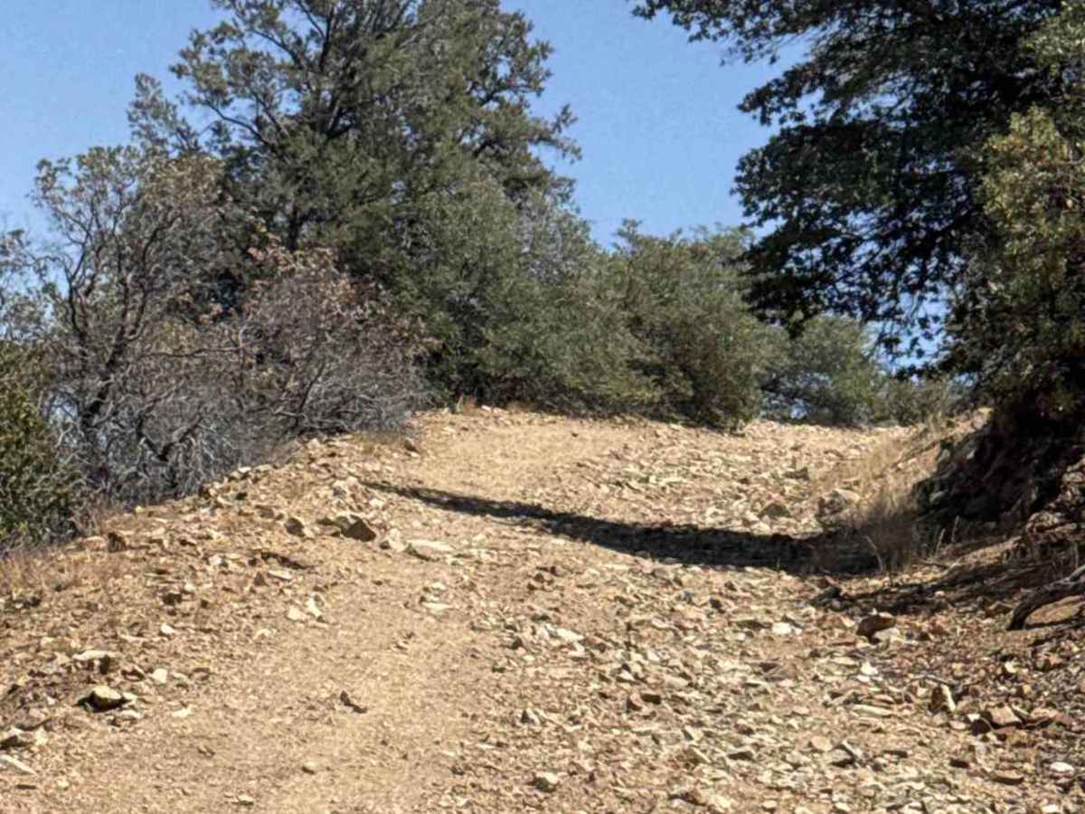
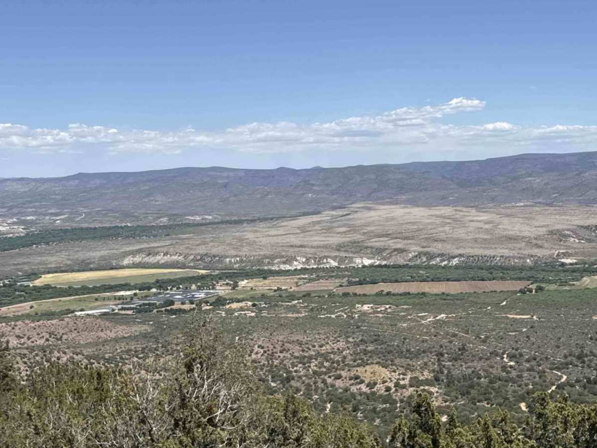
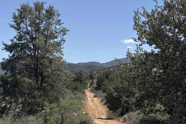
The route then ascends steeply up the mountain through a series of narrow switchbacks, eventually reaching elevations around 4,400 feet. Loose rock and erosion become more noticeable during the climb, while the trail continues winding through the mountains with expansive views of the surrounding terrain.
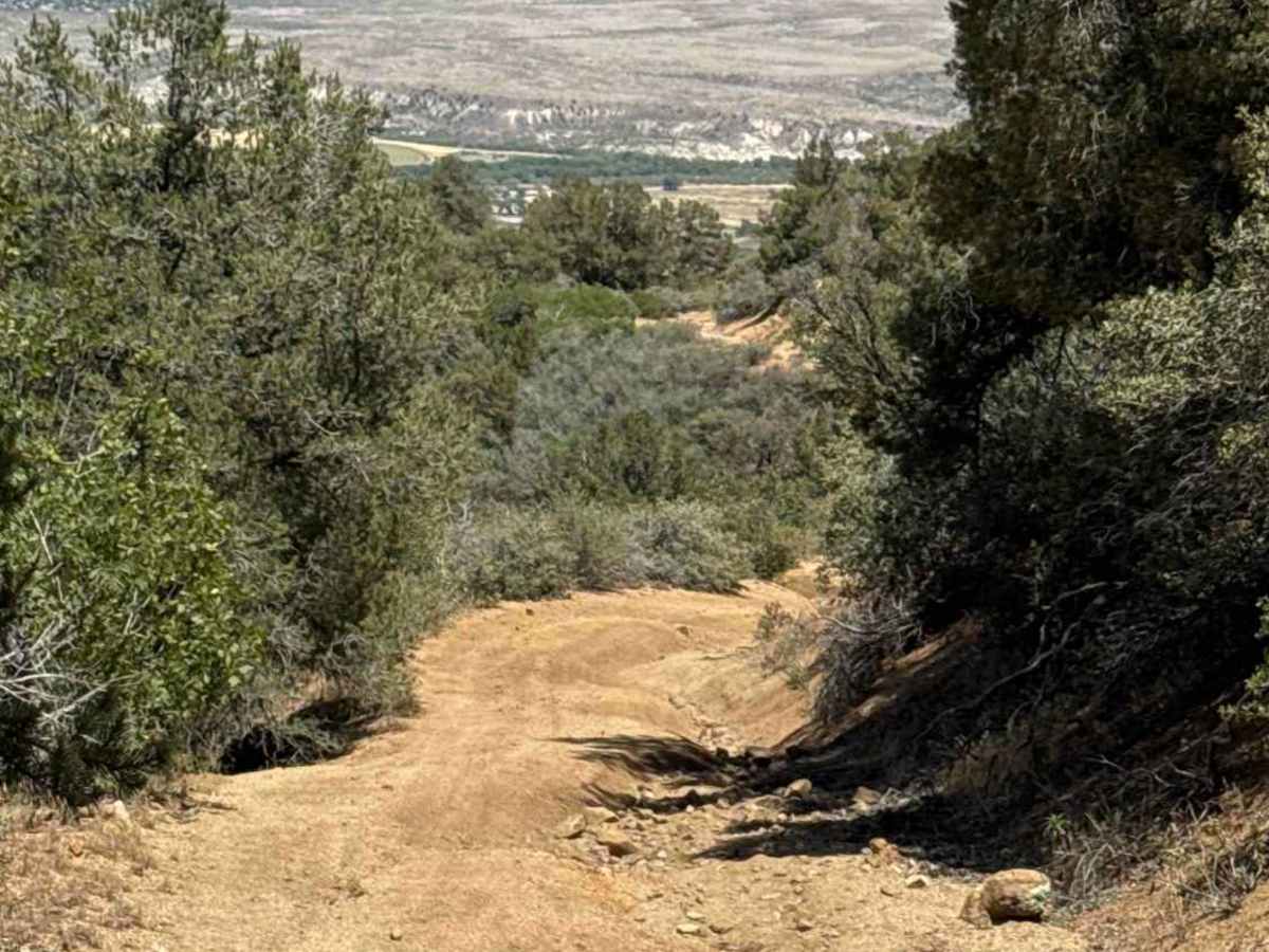
After cresting the mountain, the trail makes a sharp right and begins descending a steep, off-camber, washed-out section. This portion requires careful tire placement and slow, controlled driving.
4WD Low is necessary for safely navigating both the climbs and descents on FS 9602M. While there are no extreme rock-crawling obstacles, the combination of shelf roads, washouts, steep grades, and off-camber terrain makes this a more advanced trail best suited for experienced drivers with high-clearance vehicles
Difficulty
Ruts, washouts, off-camber sections, switchbacks, steep hill climb, not passable in bad weather, 4x4, low & high clearance.