Trail Overview
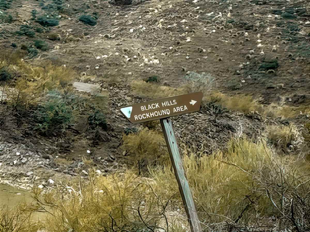
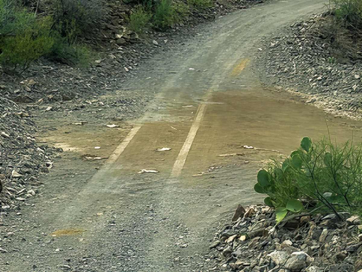
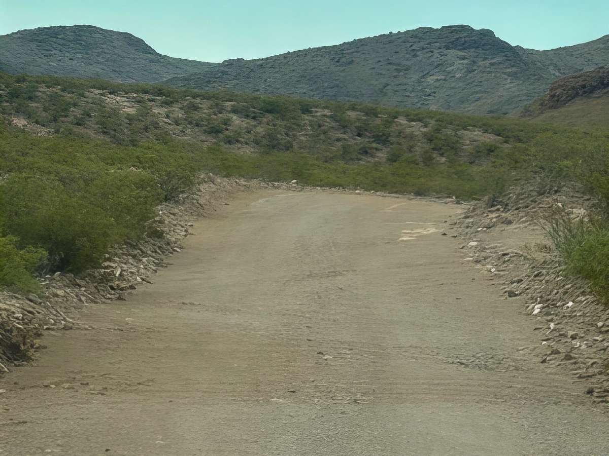
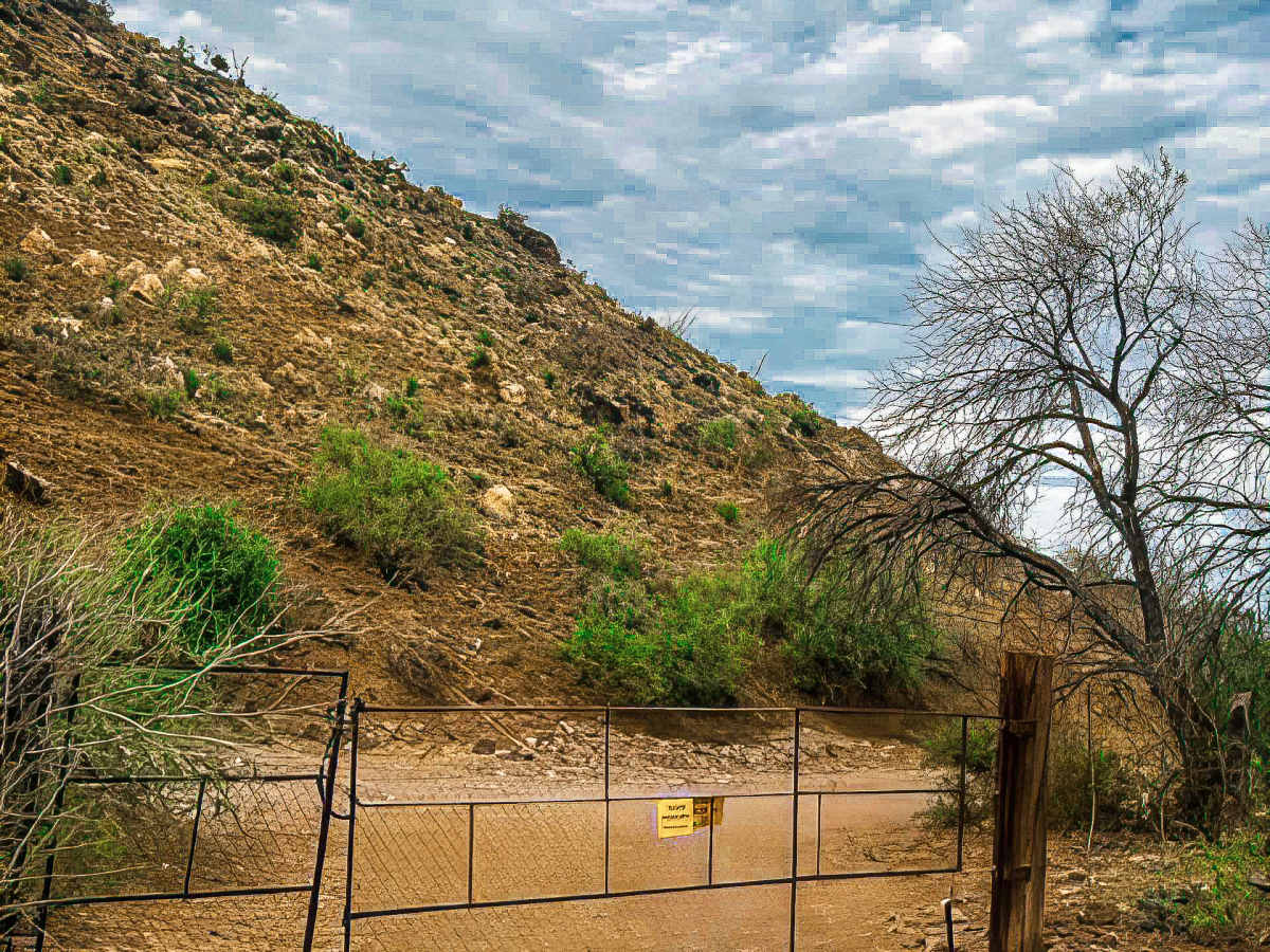
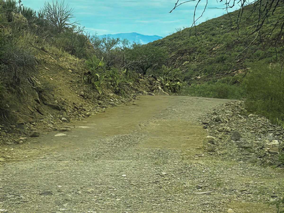
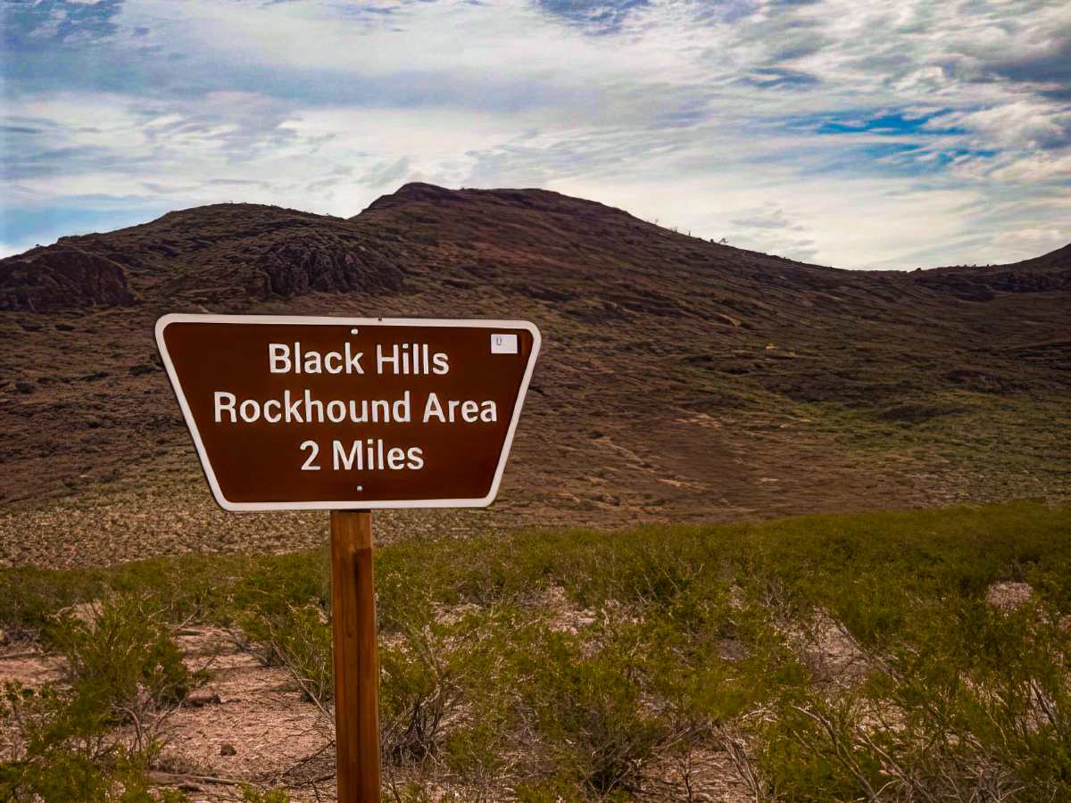
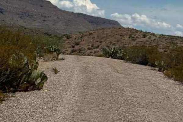
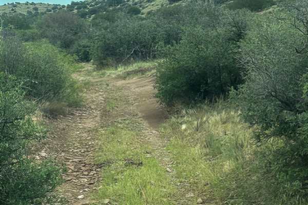
PE1094 is a wide gravel trail that winds through the mountain and back to Highway 191. The trail has several gentle switchbacks. The trail takes you to the Black Hills Rockhound area. Follow the sign to the Rockhound area. You will drop down into the canyon, surrounded by desert landscape; you will come to a gate. Keep the gate closed. The trail has beautiful canyon views from the bottom. Then you will climb up and out. This is an easy gravel trail, wide enough to pass, suitable for any vehicle. Beautiful views of Safford and several camp rings in a loop. The trail is stunning, with lots of rock formations and caves up on the buttes, tons to explore. The trail is point-to-point between Highway 191 and Black Hills Backcountry Byway Trail.
History
The Black Hills BackCountry Byway is more than a scenic road—it's a piece of Arizona history. Built beginning in 1914 using prison labor, the rugged route took roughly six years to carve through the mountains. Later, CCC crews built stone erosion-control structures still visible today. Mining, ranching, railroad travel, and water conservation all helped shape this landscape. The 21-mile byway was officially dedicated in 1994 as “Riches from the Earth.”