Trail Overview
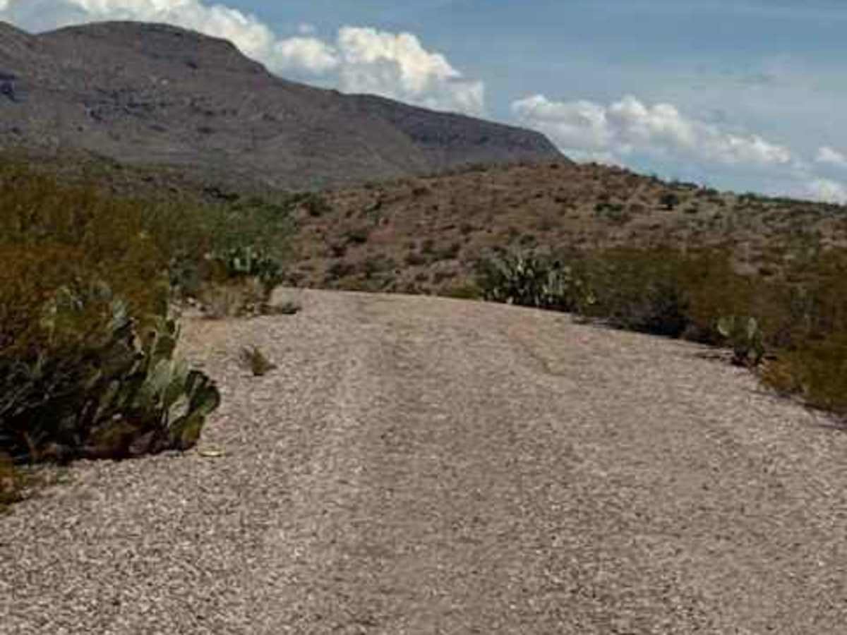
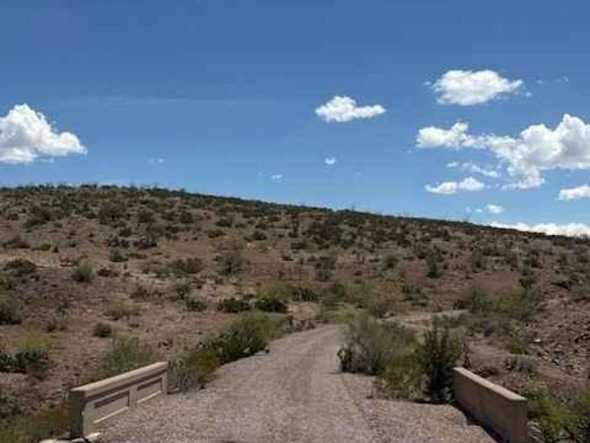
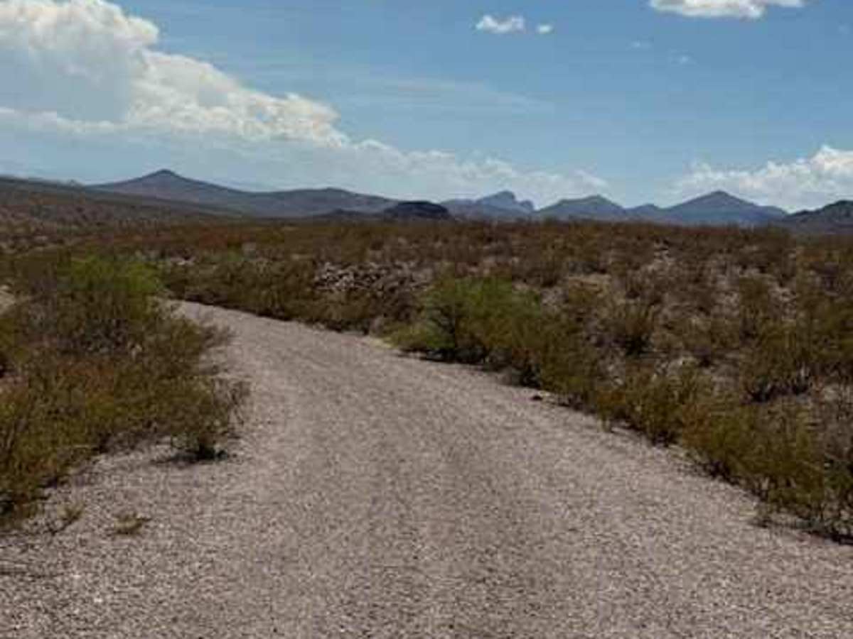
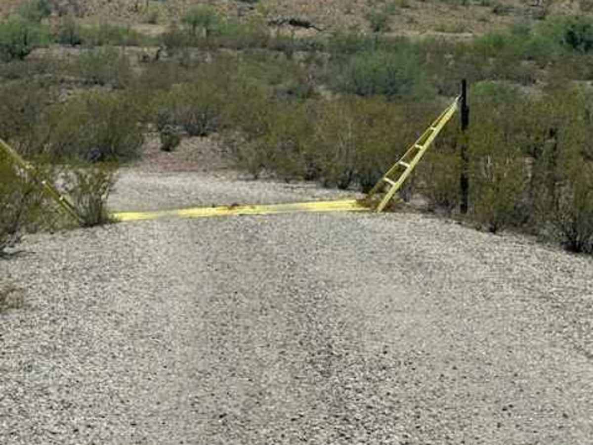
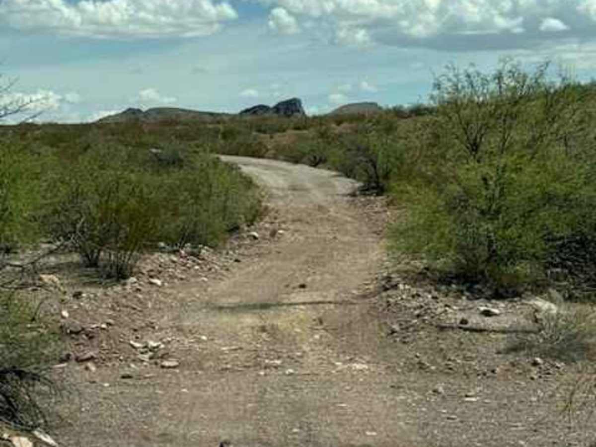
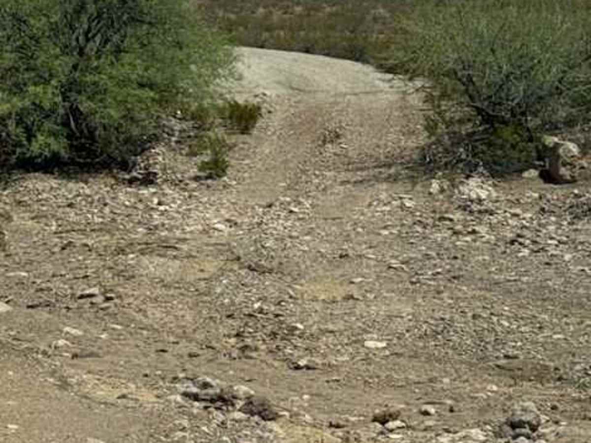
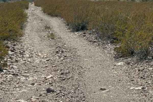
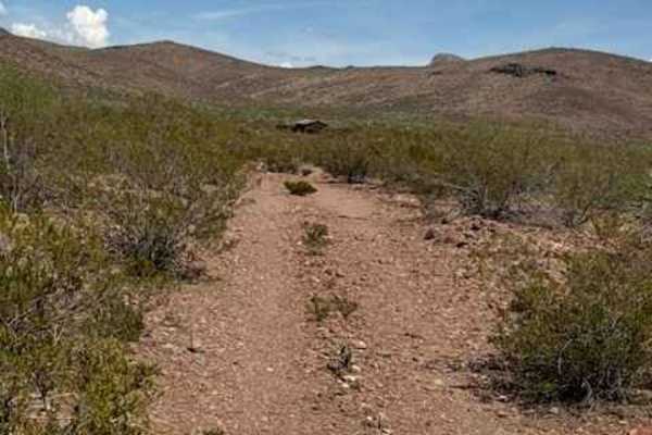
BLM PE1139 begins at the Y intersection with BLM PE1119 and follows a scenic gravel road through the mountains, with several spur connections and potential camping areas along the way. The route passes through typical desert terrain of creosote and mesquite, with cattle guards, a small bridge, and several low-water crossings. The trail has two major washouts that significantly impact access. The first has a bypass, but the washout comes up quickly, so watch closely for the go-around. Missing it could result in serious vehicle damage. The second washout appears to end the trail, but a bypass is located farther to the left. Clearance can still be an issue, particularly for long-wheelbase or loaded vehicles. Because of the washouts and flash-flood potential, this trail is not recommended during monsoon conditions or afterward. Conditions can change rapidly. AT&T LTE and some 5G services were available along the route.