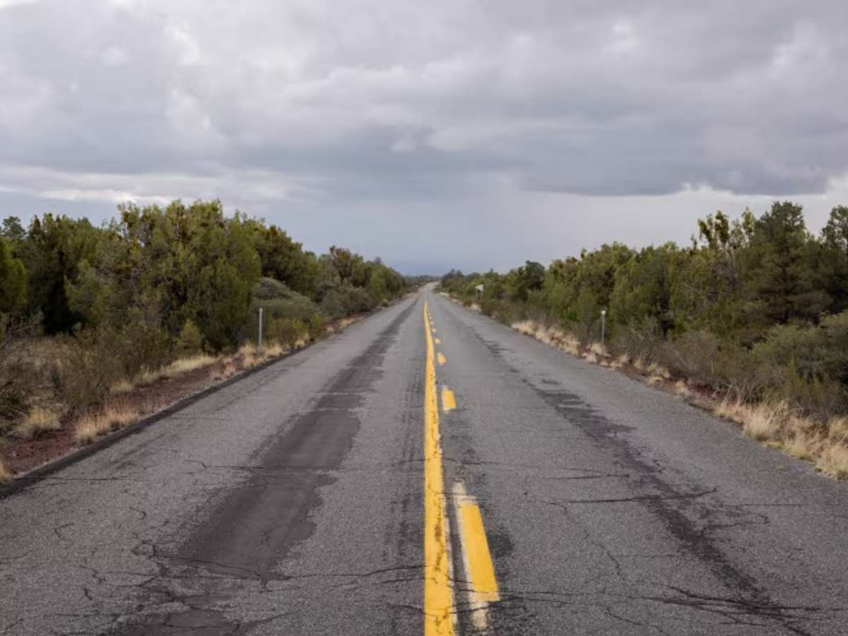
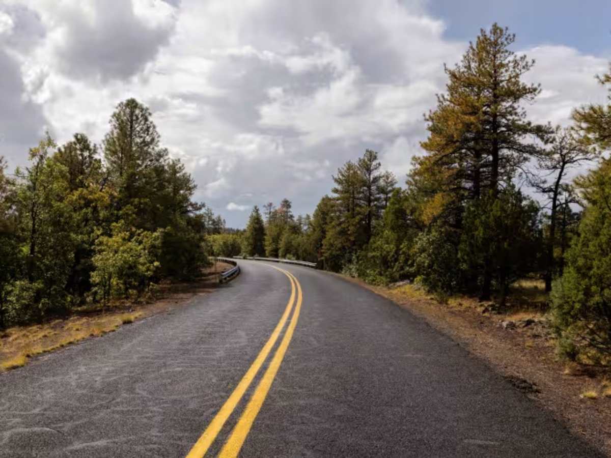
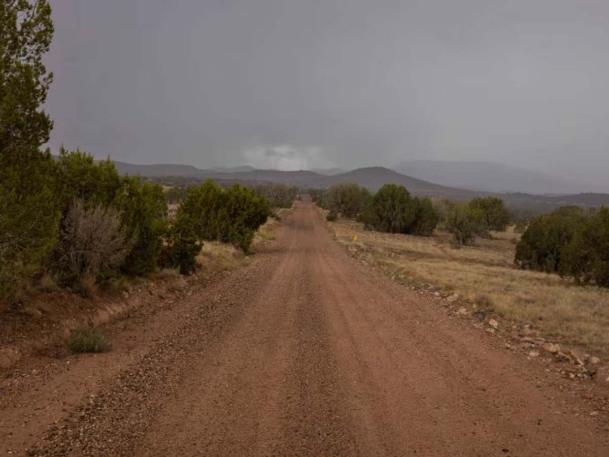
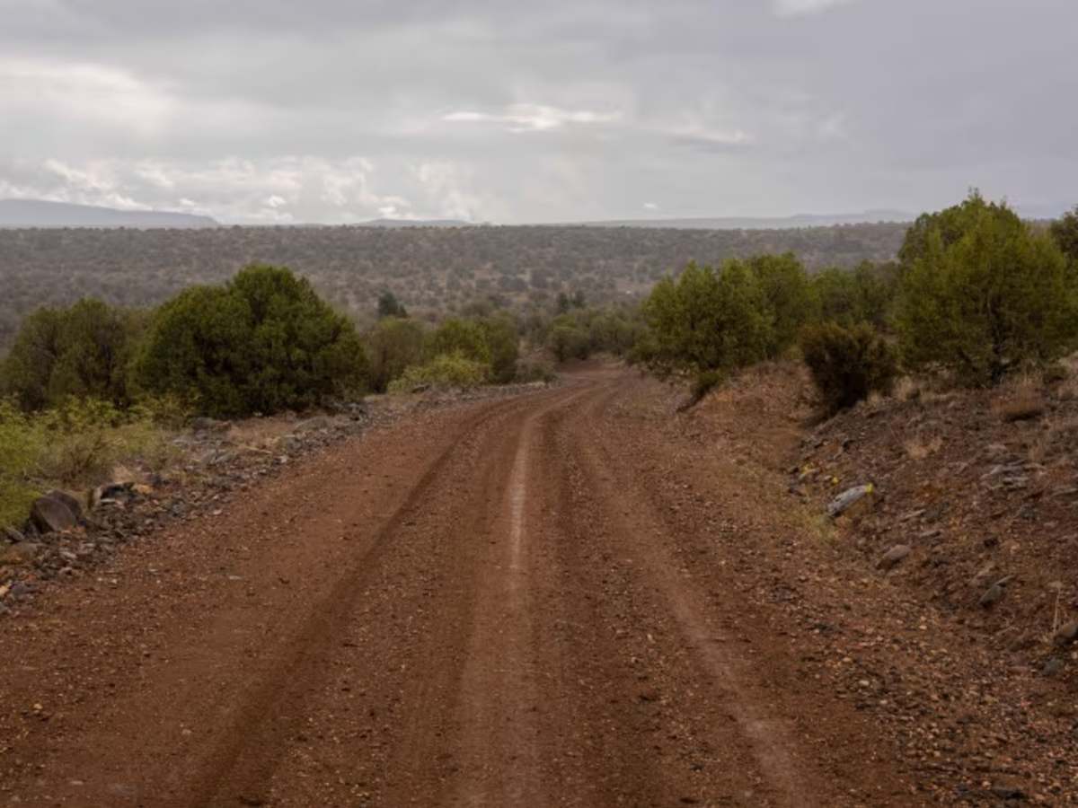
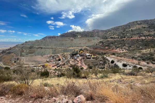
Trail Overview
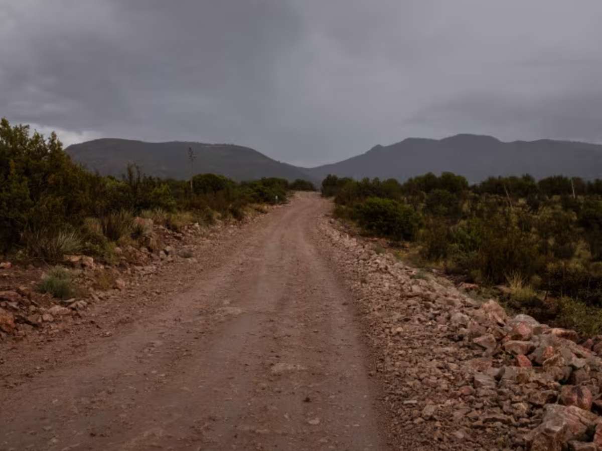
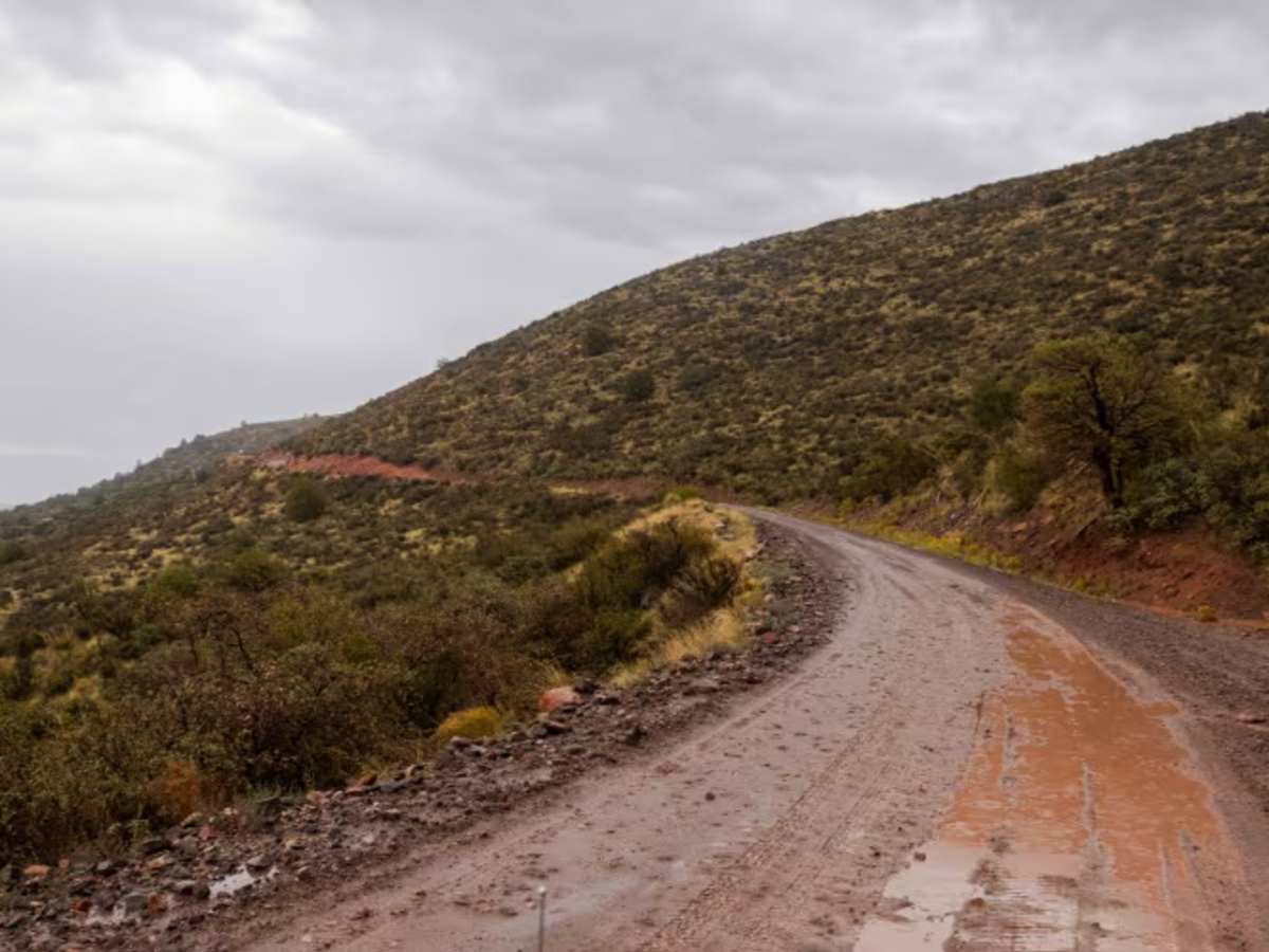
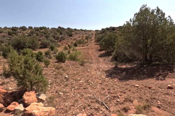
The Jerome to Williams Trail runs wide and graded, connecting the historic mining town of Jerome with the railroad town of Williams. The route includes one-lane bridges, rolling hills, and stretches of washboard, but no true obstacles. Depending on conditions, water and mud can be encountered along low areas and crossings. With its mix of straightaways and curves, the road carries a “rally course” feel, providing a smooth connection from downtown Jerome to downtown Williams. The trail follows part of the old Perkinsville Road corridor, historically used to link Jerome’s copper mining operations with surrounding ranching and rail communities. Jerome developed in the late 1800s as a major copper mining center under the United Verde Mine, while Williams grew as a supply hub along the Atchison, Topeka and Santa Fe Railway and later as the “Gateway to the Grand Canyon.” Today, the trail offers a link between two preserved historic towns, with views of the Verde Valley and surrounding high desert landscapes.
Difficulty
This is a well-traveled and semi-maintained corridor. Past uses of this trail and its offshoots include The Prescott Rally and various other offroad club rides. There are no obstacles along this road. The Northern 20 miles or so is paved, so regular traffic laws must be obeyed.
History
The road connecting Jerome to Williams has several historic roots, with the most significant being the Perkinsville Road, an old cattle drive route from the early 1900s. The modern route incorporates parts of the historical Beale Wagon Road and the Overland Trail, which were early wagon paths for mining and trade. The route also follows sections of an old railroad bed for its initial stretch out of Jerome, offering a historical link to the region's mining and transportation past.