Trail Overview
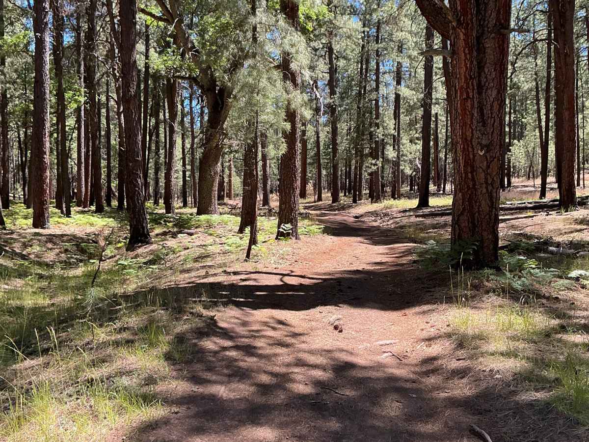
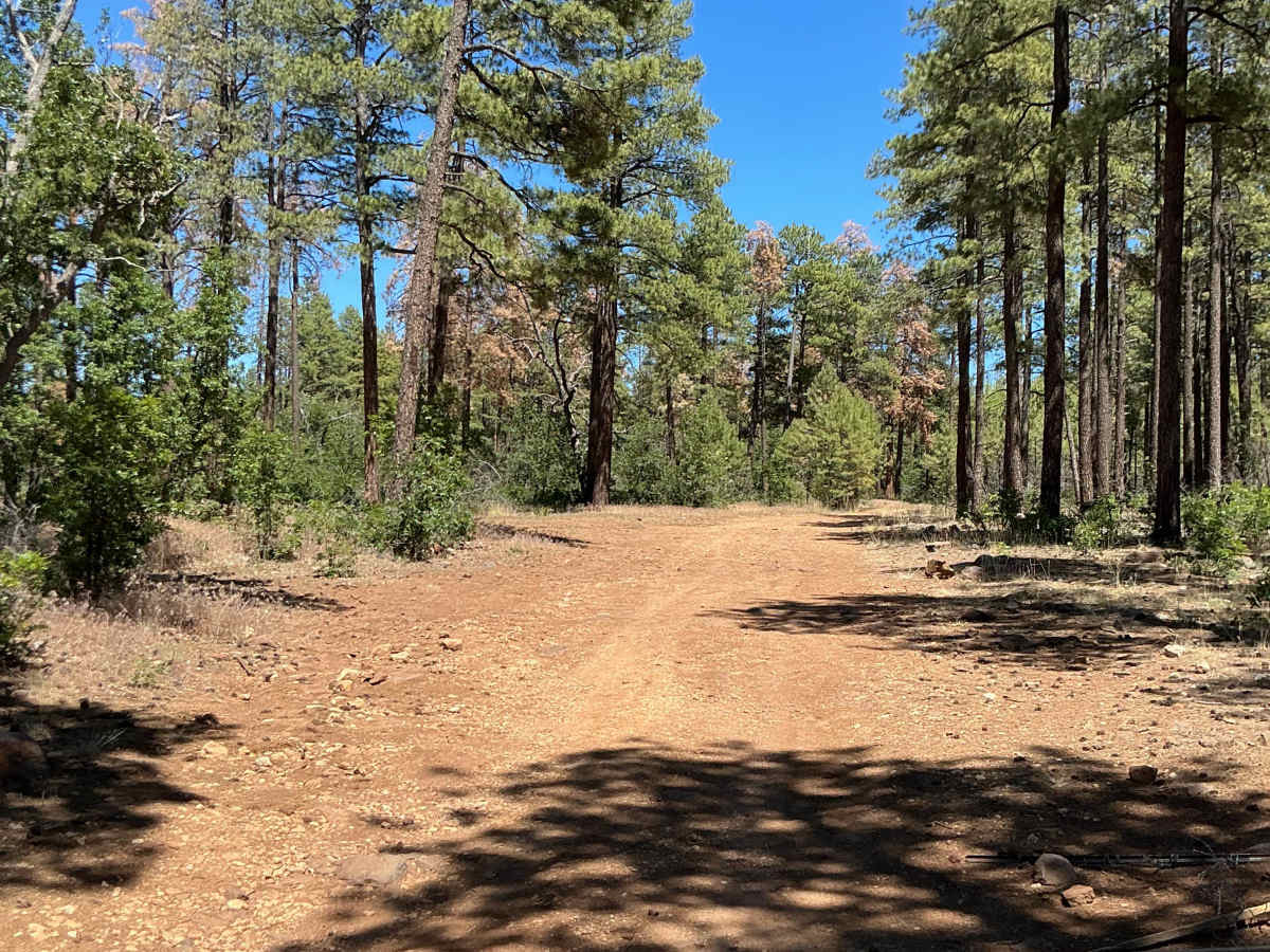
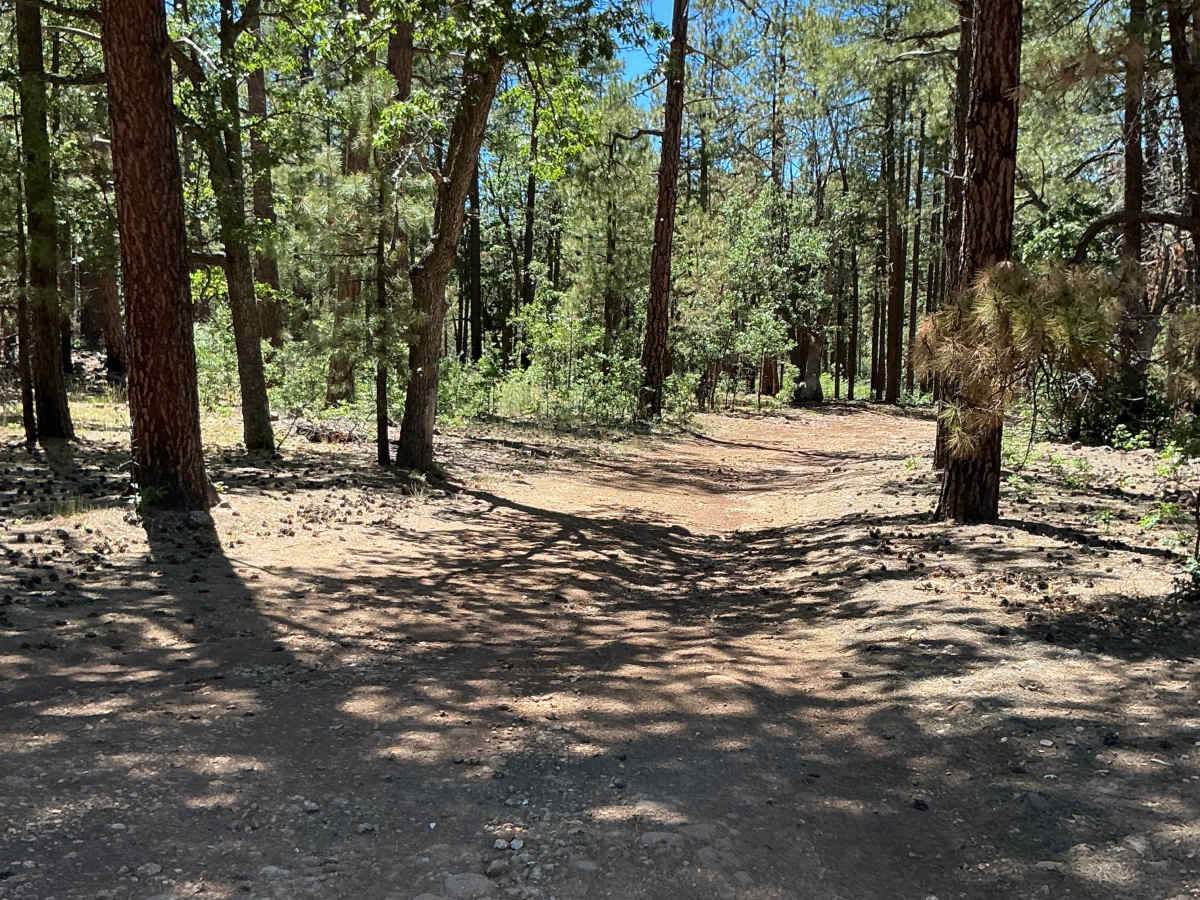
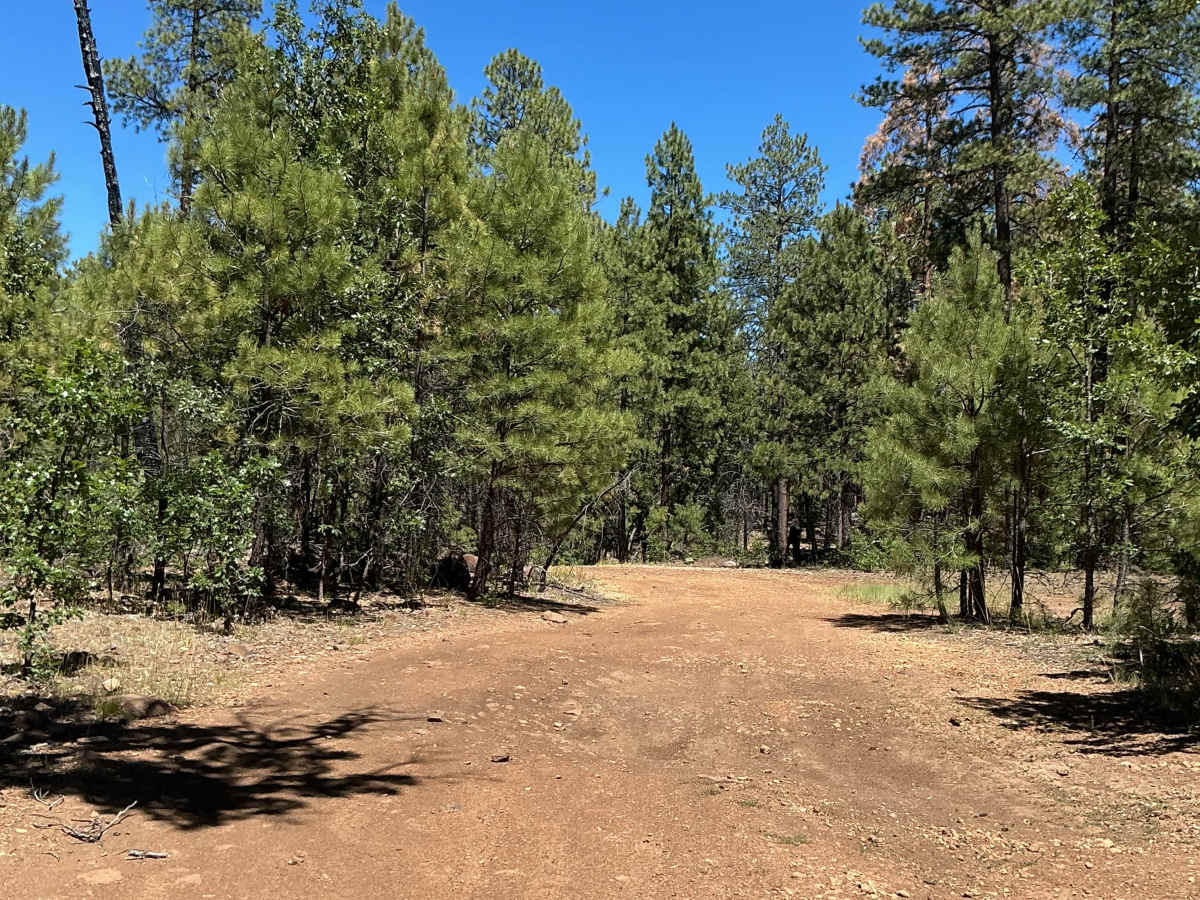
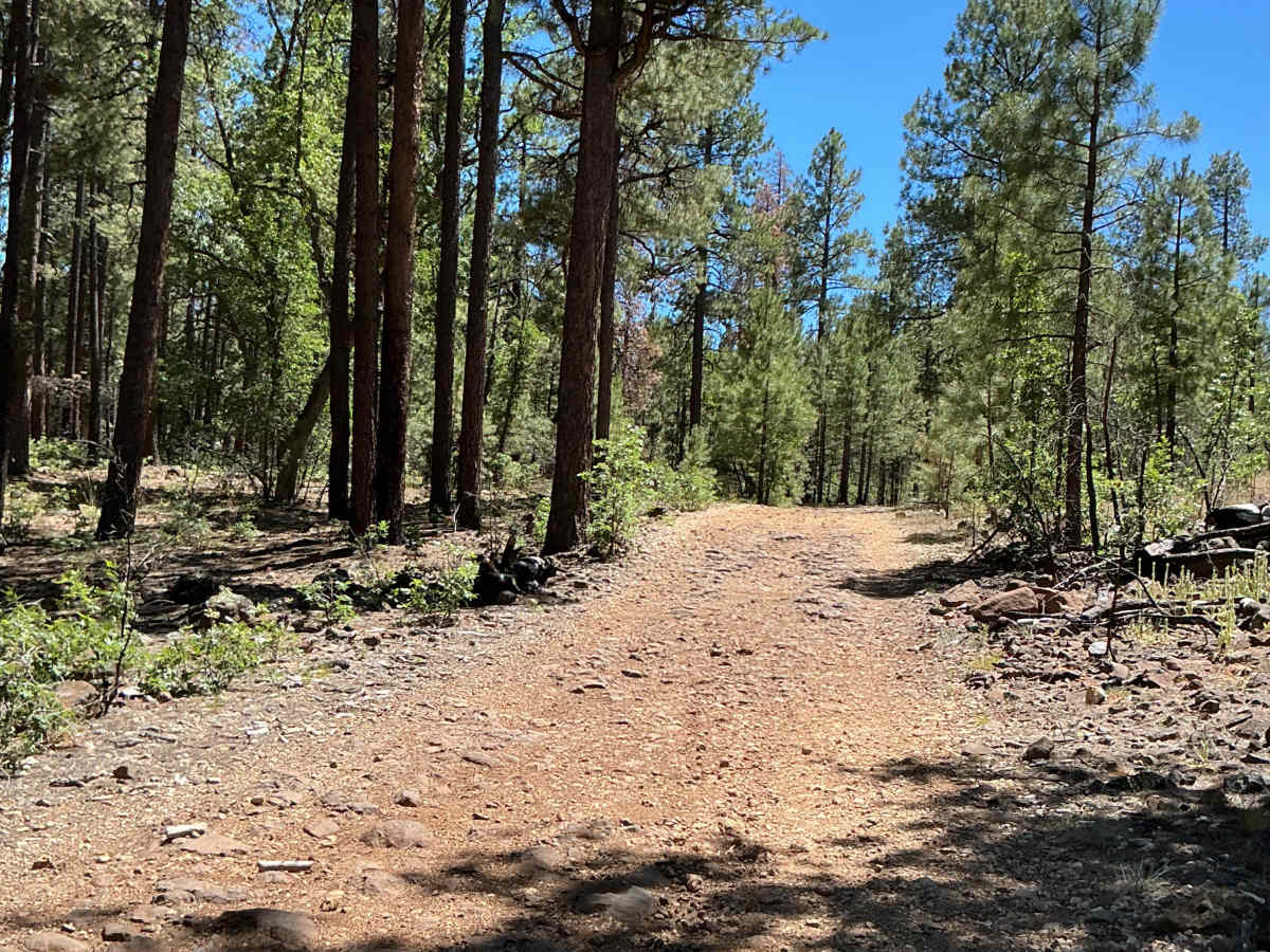
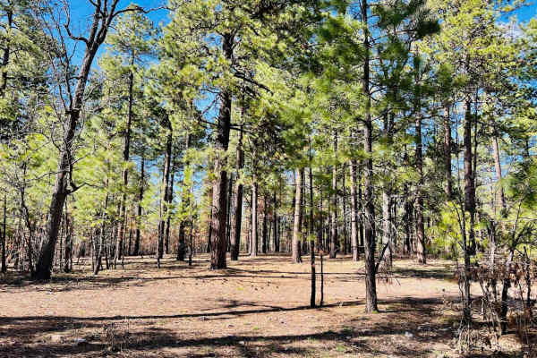
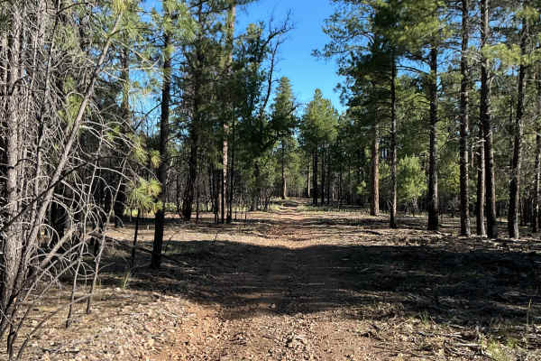
This route consists of three different Forest Service roads and stretches just over 2.5 miles in length. The trail was mapped from the Highway 260 entrance to its ending point at Highway 87. The western portion of the route begins with a moderately rocky and rutted surface as you travel east. The trail then descends slightly toward an unnamed stock tank. This short downhill section contains several rocky and rutted areas that may require careful tire placement. Near the tank, a few low-hanging branches create limited overhead clearance, so taller vehicles should proceed with caution. Beyond the tank, the trail becomes increasingly rutted in places due to snowmelt and rain runoff. As the route turns south, several depressions along the trail appear prone to holding water and becoming mud holes following precipitation. Continuing south, the trail surface transitions to a mix of dirt and numerous small loose rocks scattered across the roadway. The route concludes at an intersection with Highway 87.
Difficulty
Expect an uneven and occasionally rutted trail with loose rocks, minor rocky sections, and potential mud holes after rain or snowmelt. Low-hanging branches may create limited overhead clearance in a few areas. Obstacles are up to 12 inches in height, making this a suitable route for high-clearance 4WD vehicles.