Trail Overview
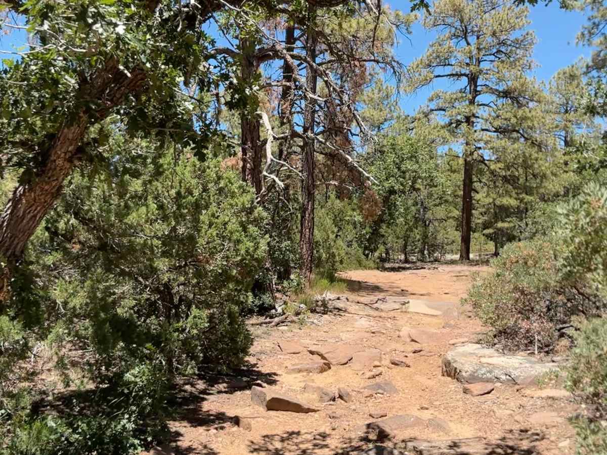
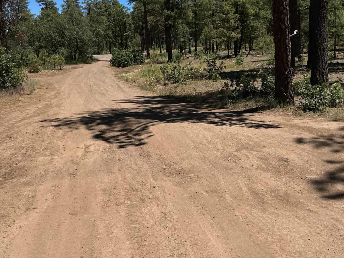
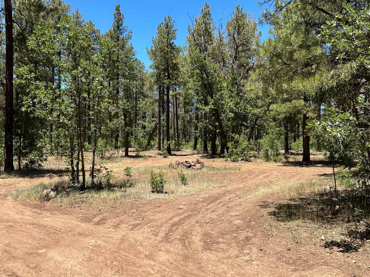
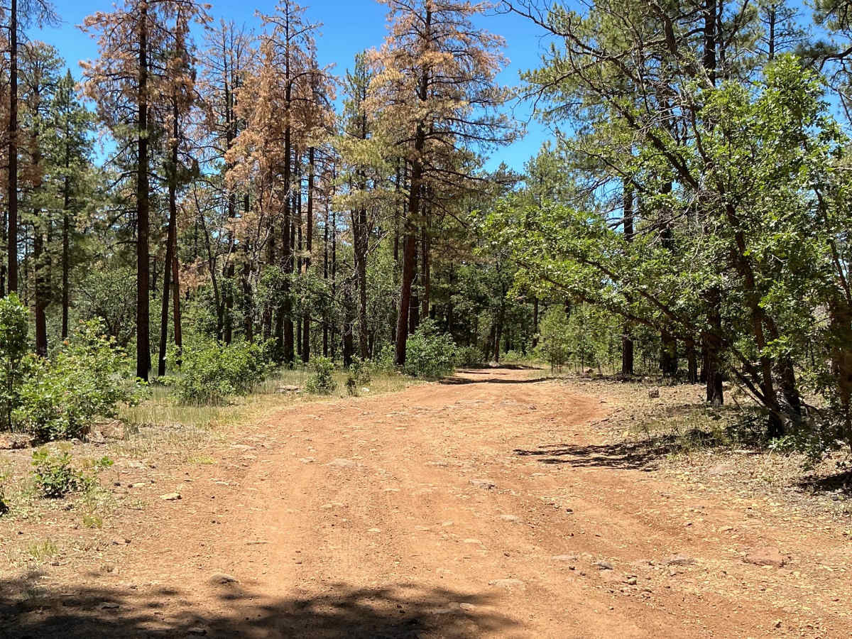
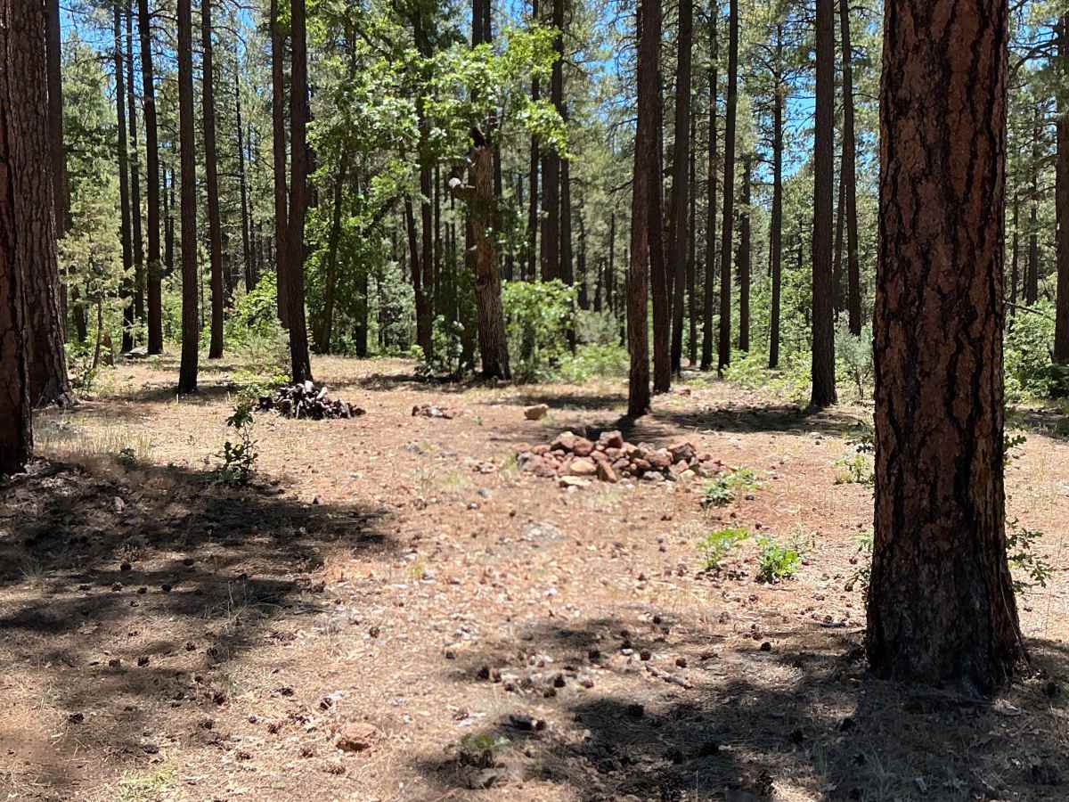
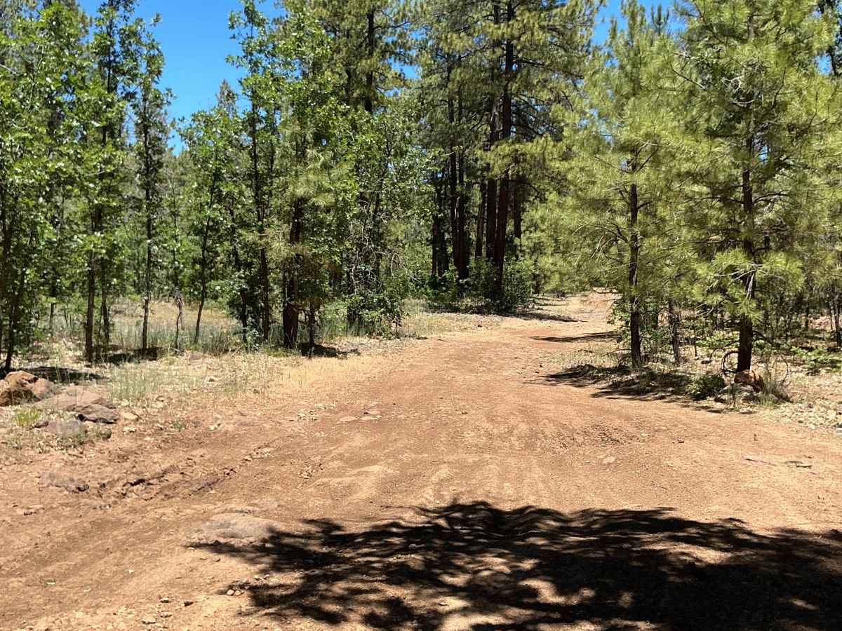
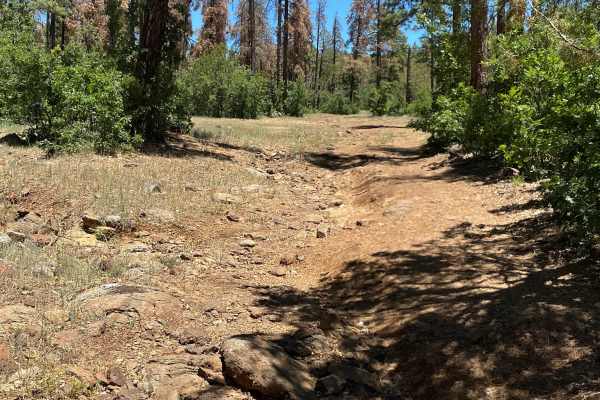
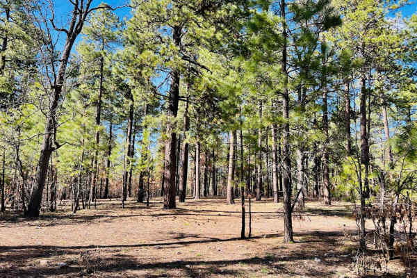
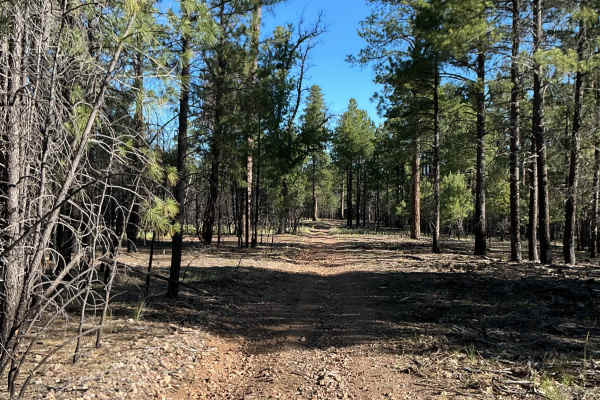
Forest Service Road 9366R is just under 4 miles long and was mapped from east to west. The trail begins as a relatively easy route, though the surface is covered with numerous dried mud-hole ruts that can make for a rough ride. A few small rocky sections are scattered throughout the eastern portion of the trail. The route appears prone to becoming very muddy and difficult to navigate after any significant precipitation. In the central and eastern sections, dispersed camping opportunities can be found on both sides of the trail. As you continue west, the terrain becomes progressively rockier, with several larger rock gardens requiring careful tire placement and increased ground clearance. Near the western end, the trail narrows, and the rocky conditions become more consistent, with larger rocks scattered across the driving surface. The route terminates in an area where turning around may be challenging for full-sized 4x4 vehicles.
Difficulty
Expect an uneven, rutted, and rocky trail with dried mud ruts, loose rocks, and multiple rock gardens. Some obstacles are just over 12 inches but do not exceed 18 inches in height, and the trail may become extremely muddy after precipitation. High-clearance 4WD vehicles are recommended, especially in wet conditions.