Trail Overview
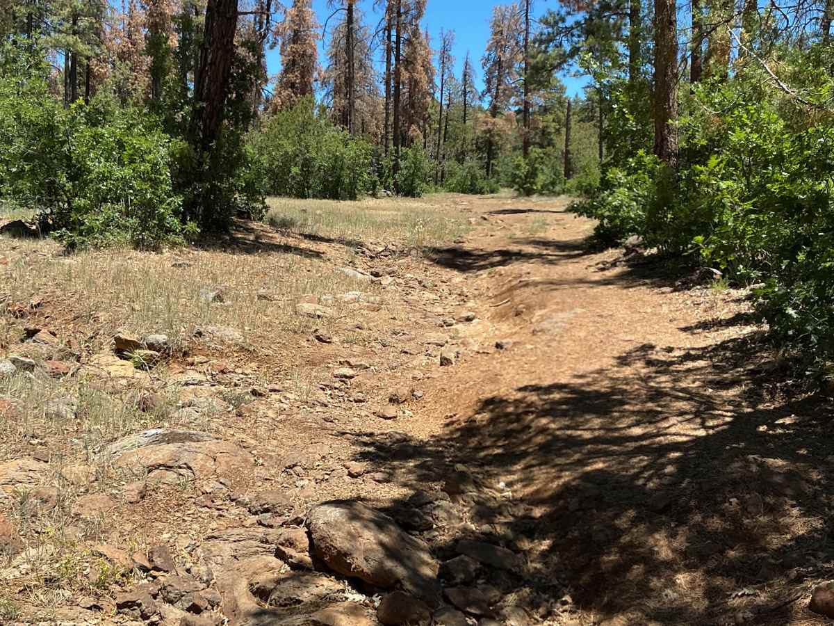
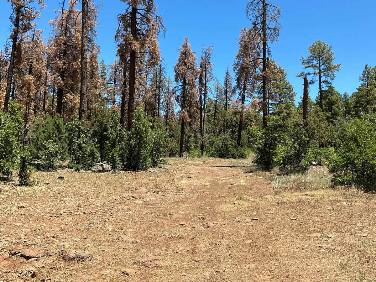
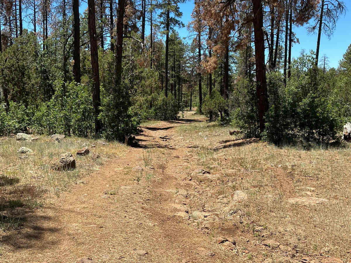
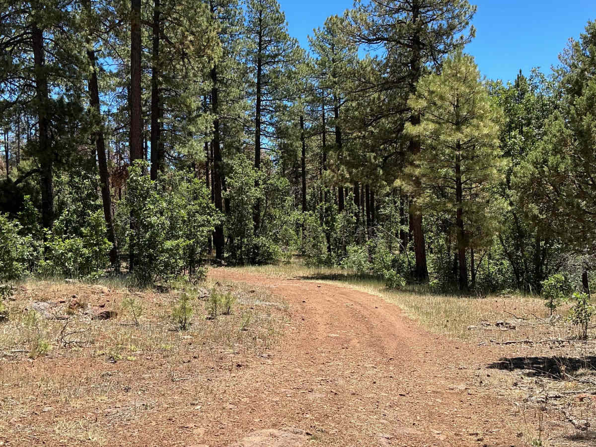
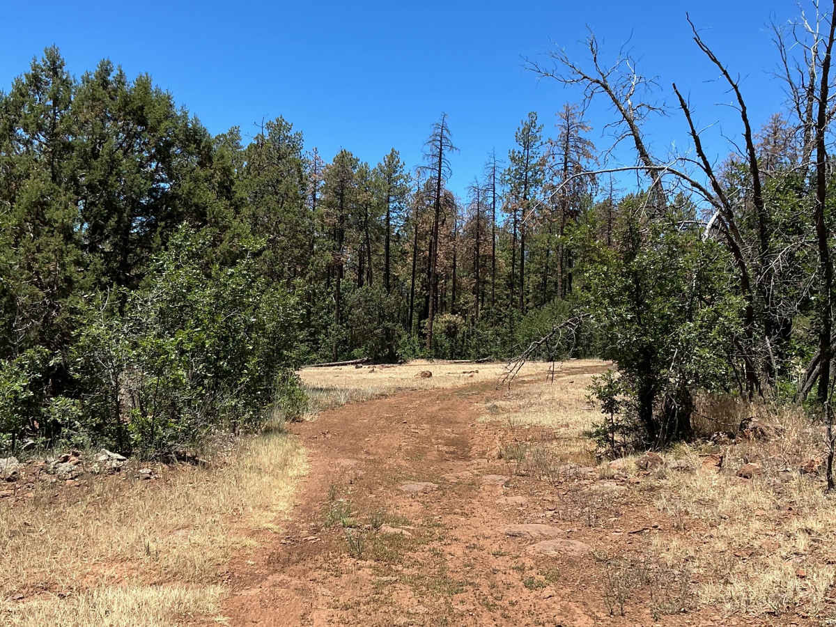
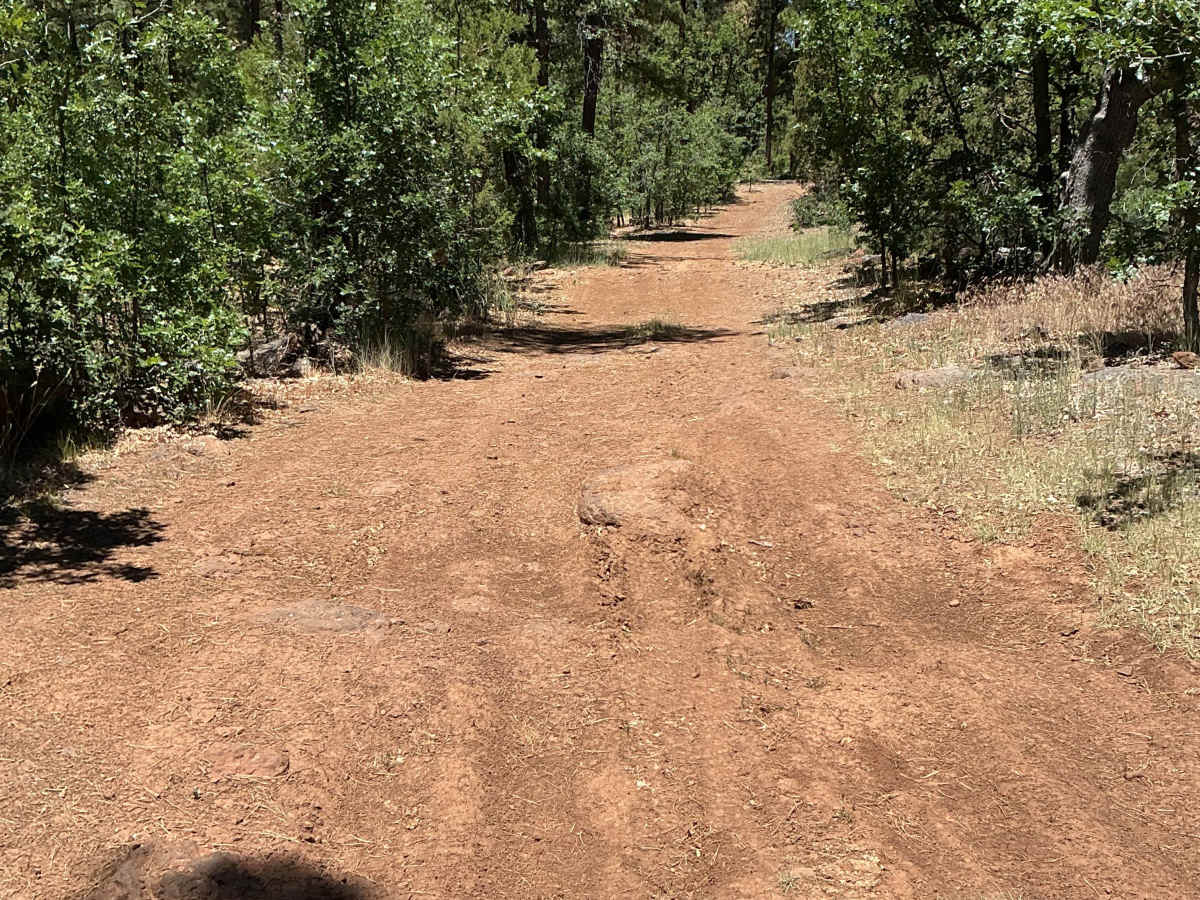
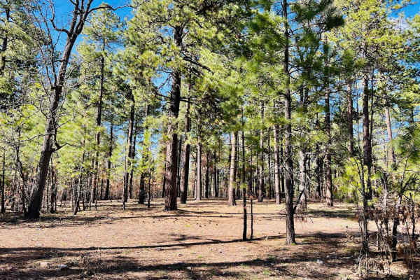
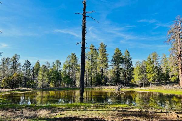
Forest Service Road 9384A is just under one mile long and begins off Highway 260. This route was mapped from east to west. Before entering the trail, you must open and close a fence gate. Beyond the gate, the trail starts with a rocky, rutted surface and several areas of loose rock. A notable rutted section appears early on and may require careful tire placement. Continuing west, you'll find several dispersed camping opportunities on both sides of the road. Past the campsites, a leaning tree creates low overhead clearance that may be an issue for taller vehicles. The western half of the trail becomes rougher, with deeper ruts and larger rocks scattered across the driving surface. The route eventually ends at two fallen trees that completely block further travel.
Difficulty
Expect an uneven, rocky, and rutted trail with loose rocks accompanied by potential for mud holes. Obstacles are up to 12 inches in height, and low-hanging vegetation may create limited overhead clearance. The trail is suitable for high-clearance vehicles and ends at a dead end blocked by fallen trees.