Copper Creek Mine Trail

Total Miles 22.3
Technical Rating
3 Easy
Best Time Winter, Fall, Summer, Spring
Trail Type Full-Width Road
Accessible By
Open Trail Map

Trail Overview

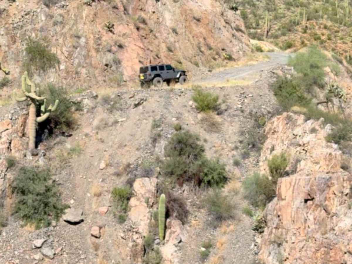
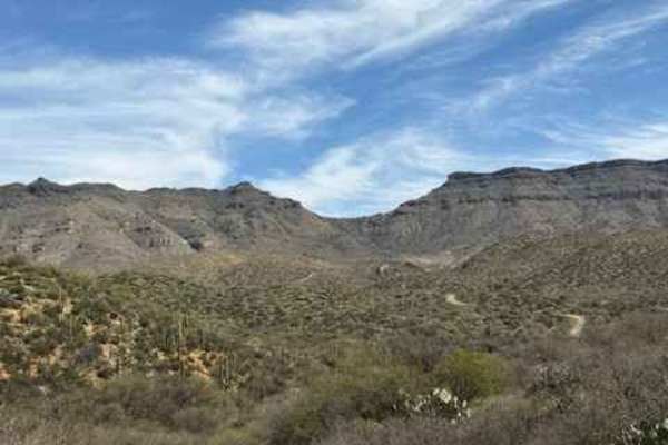
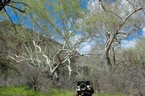
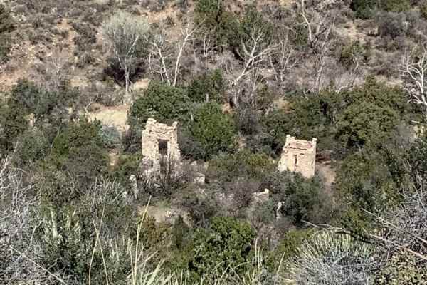
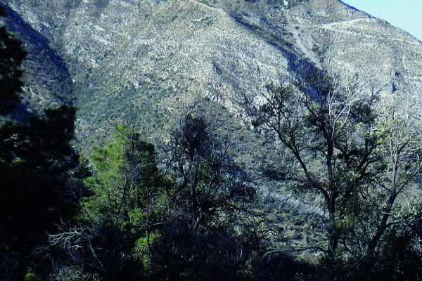
This scenic trail takes you on a winding journey through the rugged desert landscapes of southern Arizona, offering stunning views of mountain peaks as it meanders along. Starting in State Trust land, the trail leads you toward the active mining areas near Mammoth, Arizona, before eventually reaching the once-thriving mining town of Copper Creek. Along the way, you'll encounter several historic spots, including the copper-colored creek that gives the area its name, old mining sites, and the remnants of the Copper Creek Post Office. The trail features a mix of challenging terrain, including rocky paths, dirt roads, and switchbacks, with sections that hug the edge of cliffs, offering a true backcountry experience as you make your way to the historic mine site. Prepare for a rugged, yet rewarding adventure through a landscape rich in history and natural beauty.*You must obtain a permit from the Arizona State Land Department (ASLD) to be on State Trust lands. This trail does pass by Private land (Blue Bird Mining District), please stay on the trail and respect all Tread Lightly principles.

Photos of Copper Creek Mine Trail

Difficulty

The trail is a maintained dirt road while passing the active mining areas then once you get to the split the trail becomes an uneven, rutted dirt path with sections that may have loose rocks. Be prepared for occasional rock gardens and obstacles up to 12 inches, including ledges and short, steep inclines. The roads are typically wide enough for more than one vehicle, but as you enter the actual Copper Creek Mine area it is a very narrow shelf-like cliff with only room for one vehicle at a time.

History

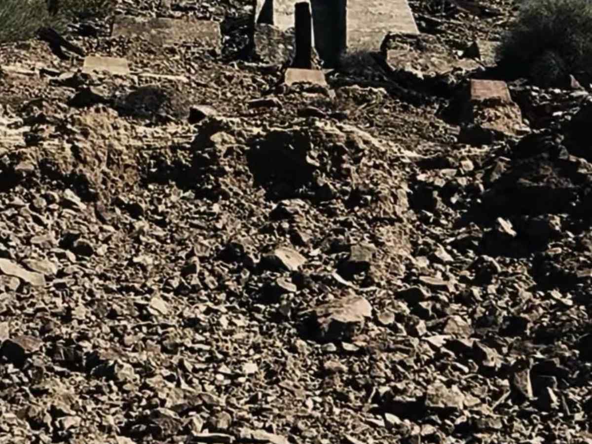
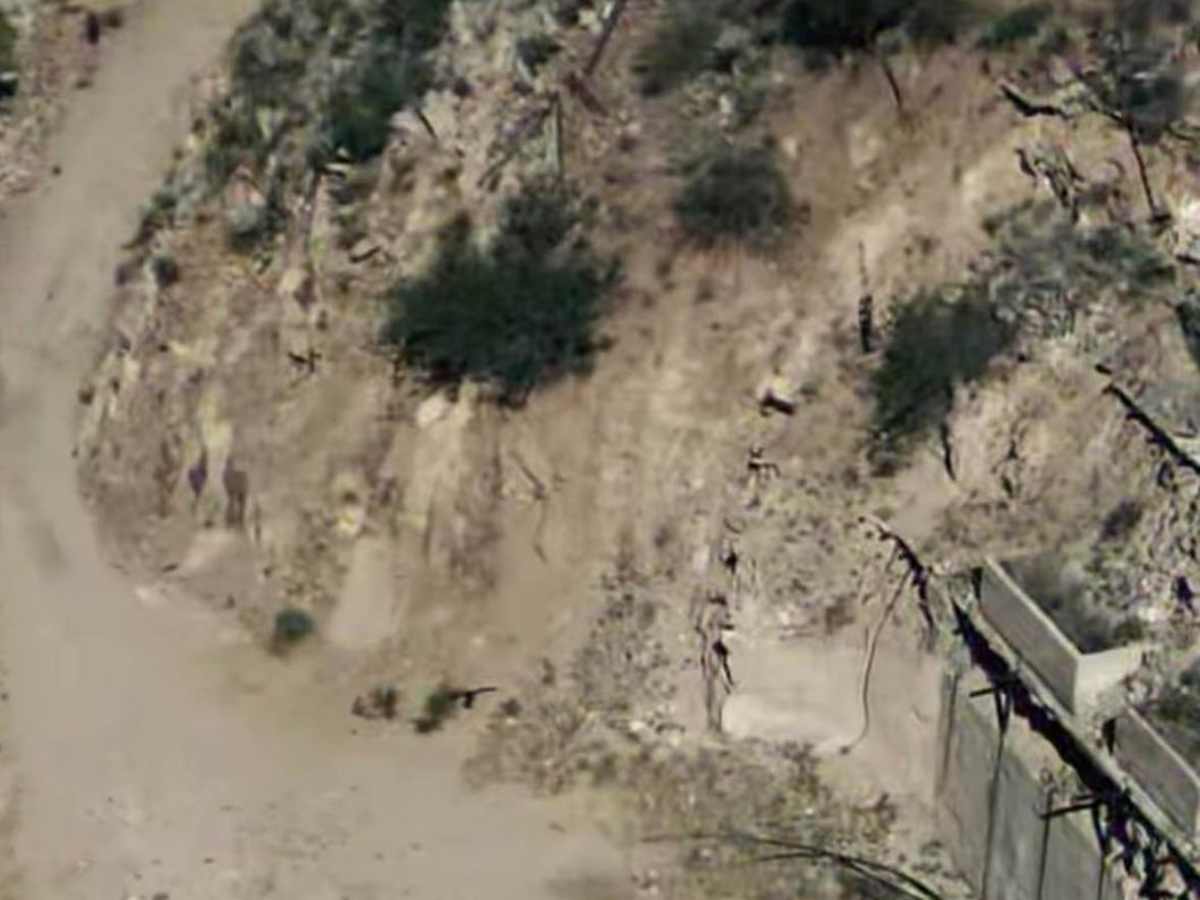
The Copper Creek Mine, once a bustling site for copper extraction in the late 1800s, offers a fascinating window into the area's industrial past. Along the trail, you'll pass by remnants of old mining equipment, rusted rail tracks, and foundation stones that were once part of the mine's operations. Interpretive signs help to tell the story of the mine's history and its role in the local economy.

Technical Rating

3

Status Reports

Add Status Report
Jacob Gomez
May 01, 2026
Open
Our kids love playing by the creek water but when we went this past weekend we encountered a locked gate with a sign that read “Road closed ahead on Redhawk Copper Inc Property” near the rug road spur before heading down to the creek. Going back towards rug road was still open, but there was a similar gate there that and had a chain and padlock. Not sure if that will be closed in the future, as the previous report said it may be only a matter of time before the area is closed off. The bottom road towards the horse camp ruins also had a large amount of rock moved there and was mostly inaccessible by vehicle.
Janet Dawald and David O'Hara
Apr 03, 2026
Open
We anticipated doing a couple of loops off the main Copper Creek Road but were stymied by numerous closed gates. Some were the old permanent iron gates from copper mining companies at their borders with BLM or AZ Trust. But several were recent orange barrier netting simply strung across the road. There are signs indicating locked gates ahead (sometimes miles ahead), but not on every road. We also encountered many pickups pulling drilling gear and even portable toilets. It was a Friday, so a work day for those folks. We made sure to picnic on BLM, as we were buzzed several times by a small black helicopter. Faraday Copper is doing the exploration in this area according to their website. While you may not get to all of the interesting sites, it is probably a worthy trip that may not be possible in the near future.
Roy Fisher
Feb 11, 2026
Open
Trails are in good shape easy ride great views
Hunter St George
Jan 21, 2026
Open
I’ve done this a couple times in a stock 2wd Silverado, very scenic and mostly smooth at 30-40mph with tighter rockier slow sections towards the beginning and end. I imagine you could take the average SUV out here if it hadn’t rained in a while
CK K
Nov 08, 2025
Open
Very dry, plenty of large camps setup along the way.
Jay Lund
May 27, 2025
Open
Very little washboarding on trail. Definitely some ruts and medium sized rocks the further east you travel, getting a bit worse closer to the Copper Creek Mine site.

Copper Creek Mine Trail Trail can be accessed by the following ride types:

  • Single Track
  • 50 Inch
  • 60 Inch
  • High Clearance
  • Full Width

Copper Creek Mine Trail Map

The onX Offroad Difference

onX Offroad combines trail photos, descriptions, difficulty ratings, width restrictions, seasonality, and more in a user-friendly interface. Available on all devices, with offline access and full compatibility with CarPlay and Android Auto. Discover what you're missing today!

Open Trail Map