Trail Overview
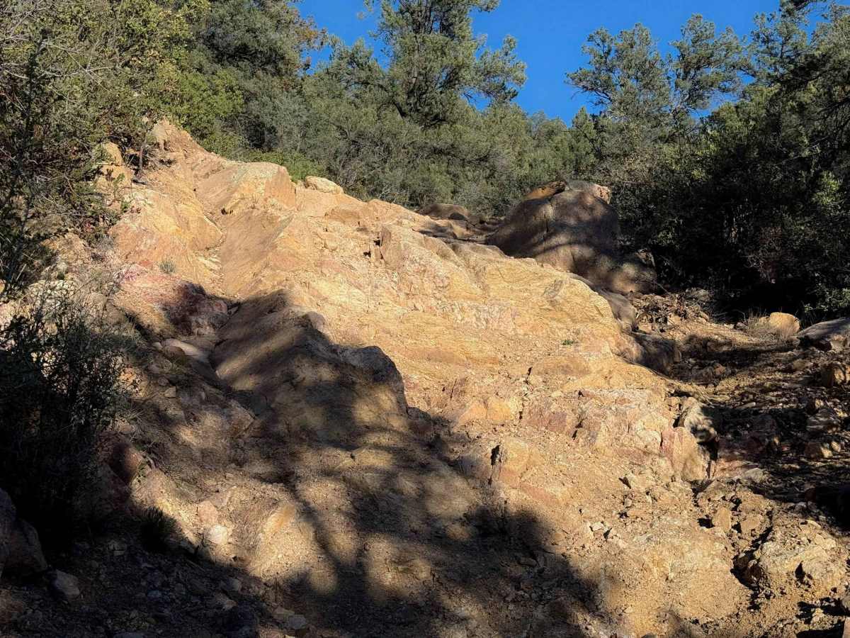
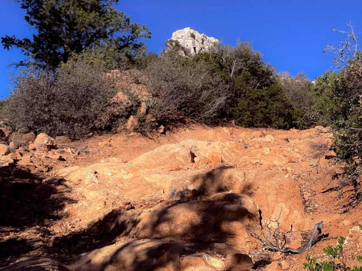
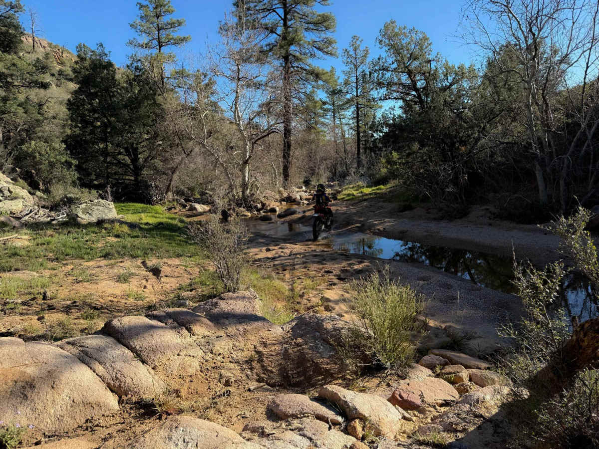
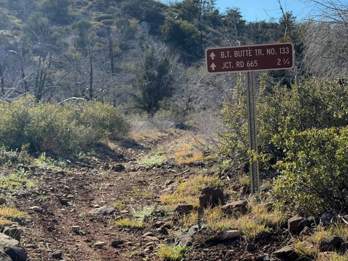
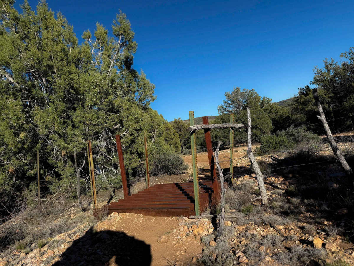
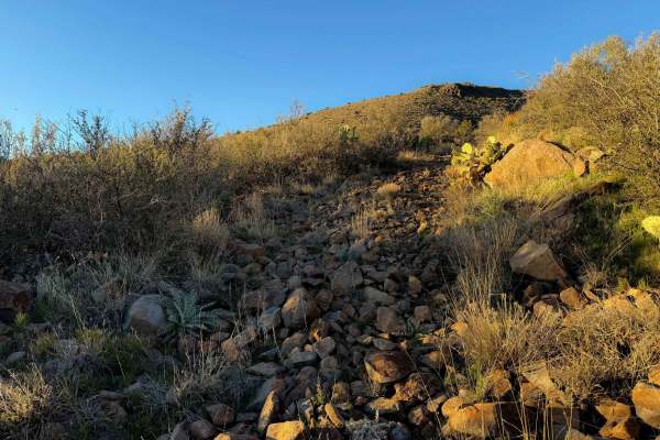
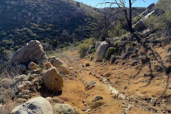
The north end of this trail starts off with a steady incline up the hillside, on soft dirt covered in small loose rocks. It’s wide through the bushes, with a pinch point through a cattle gate, before it continues to wind around the mountain, with some flat sections, then a steady descent. You get great views from this hillside of the distant rocky outcroppings and rugged desert peaks. The descent south becomes more rugged, with some moderate obstacles, mostly being embedded rock ledges. They range from more ramped and a couple of feet high, to steeper and more aggressive at the bottom of the descent, with off-camber layers of rock. It crosses a small creek that is sandy and shallow, and then continues to meander through the rolling desert hills for another mile and a half, with more gradual climbs and descents, flowing between the bushes, always with a loose rocky surface. The trail ends on Forest Route 665.
Difficulty
The crux of this trail is the moderate rock ledges located about a mile in from the north entrance. The rest of the trail is a bit easier, although there is always a layer of loose rocks. The trail will feel narrow and technical for ATVs, and is better suited to experienced dirt bikers. Although designated for 50-inch vehicles, it has become tighter over time, and does not look trafficked by ATVs. Expect deep ruts, rock ledges, loose terrain, and tight maneuvering.