BLM ZSA1090

Total Miles1
Technical Rating
3Easy
Best TimeSpring, Summer, Winter, Fall
Trail TypeFull-Width Road
Accessible By
Open Trail Map

Trail Overview

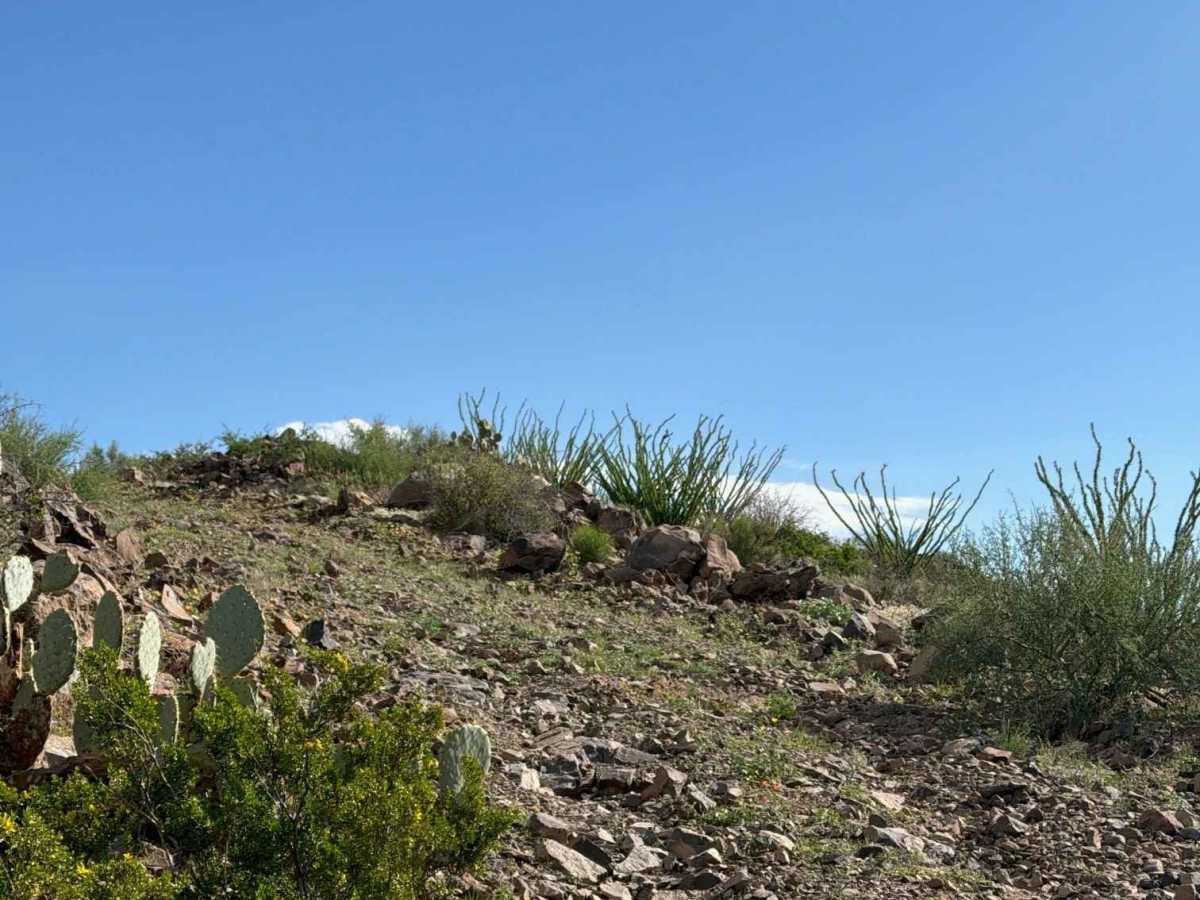
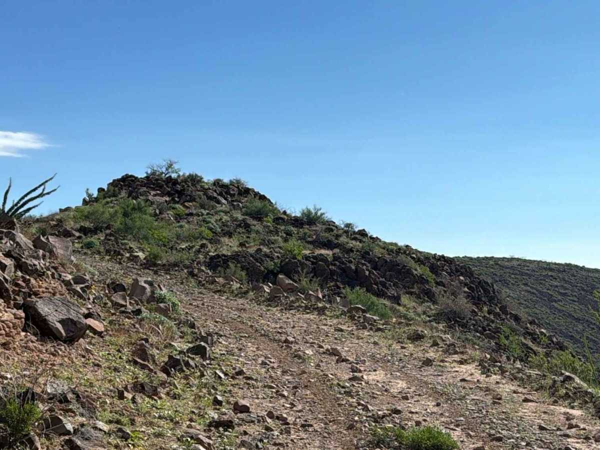
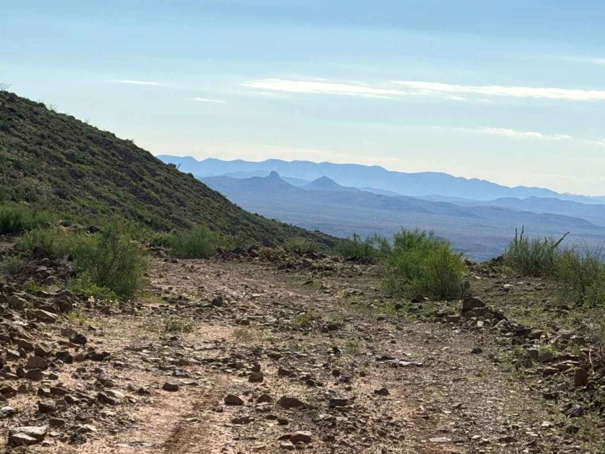
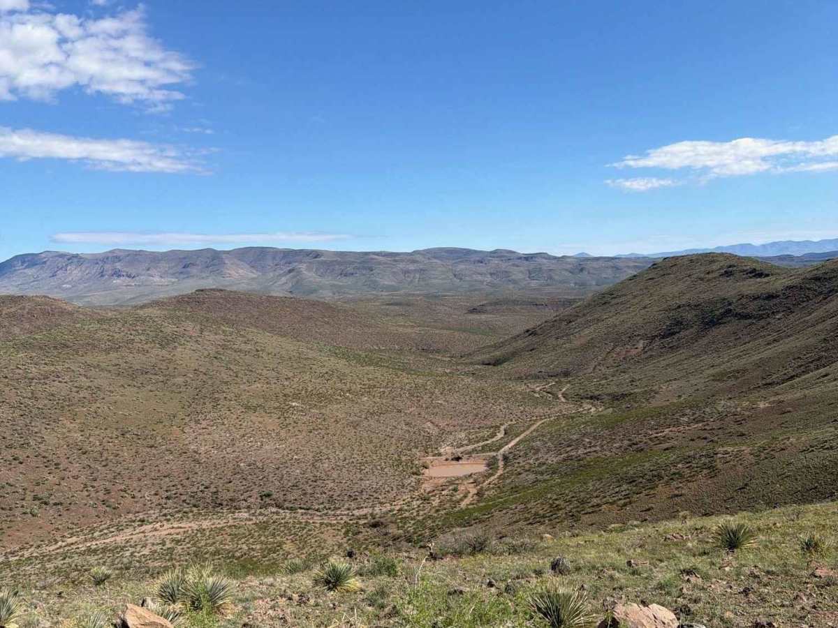
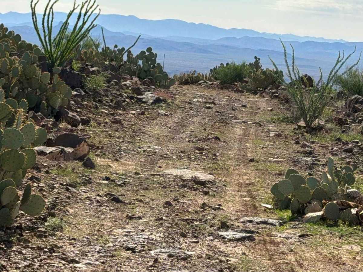
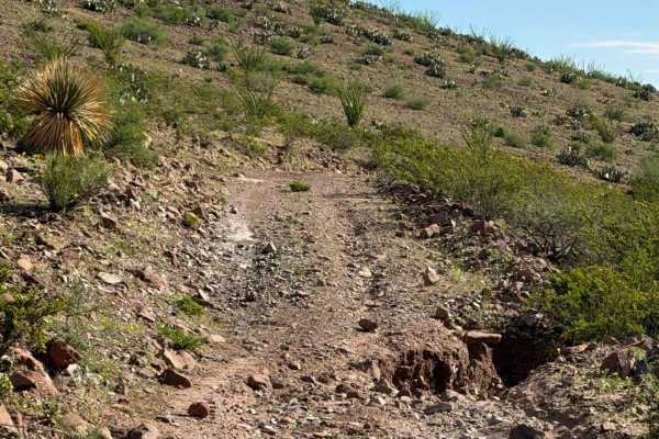
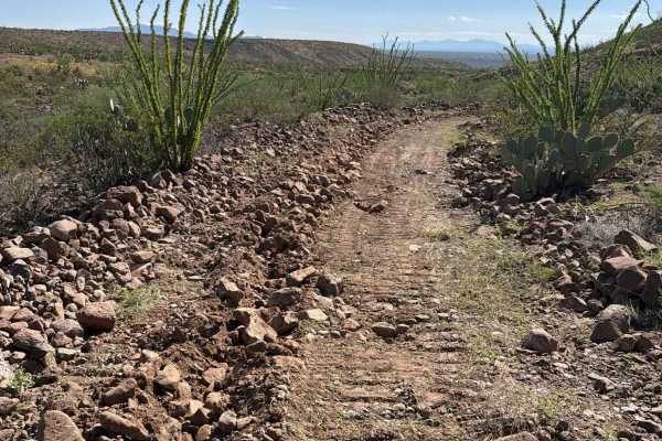
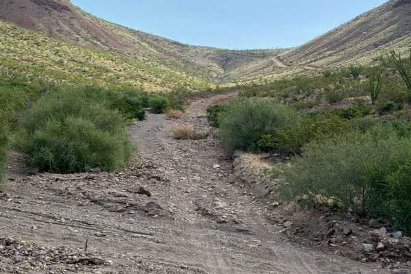
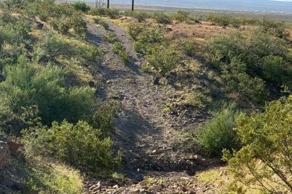
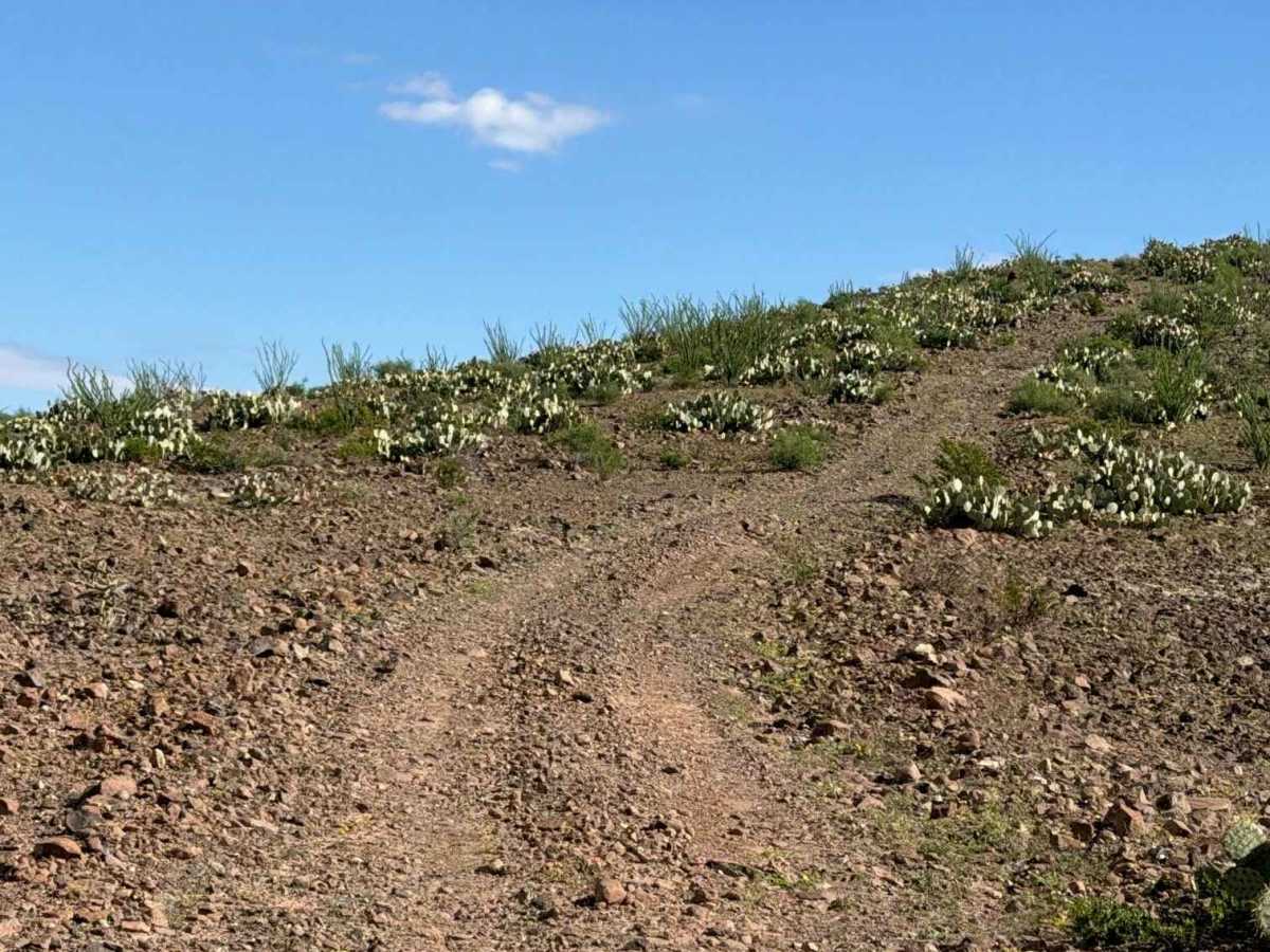
Zsa1190 starts at the end of Zsa1188 and begins with a steep, loose, large gravel climb to the top of the mountain, offering incredible views of the valley below, Safford to the south, and Mount Graham in the distance. Once you reach the top, it levels out and then goes downhill to the next hill and up again. Large loose gravel up to 6” and very steep; 4WD and high clearance recommended. The trail is surrounded by Prickly pear, creosote, and Ocotillo. At the second mountain peak, you will find a campsite with a beautiful overlook, then begin the downhill sections. Transitioning from peak to peak. This trail ends at the intersection of Zsa1191 at another beautiful overlook. And a Hiking trail.

Photos of BLM ZSA1090

Difficulty

Expect loose gravel and rocks up to 6 inches, along with steep climbs and descents. The trail includes a ledge and narrow sections. Nothing technical and no obstacles found. 4WD and high clearance are recommended.

Technical Rating

3

BLM ZSA1090 Trail can be accessed by the following ride types:

  • Single Track
  • 50 Inch
  • 60 Inch
  • High Clearance
  • Full Width

BLM ZSA1090 Map

The onX Offroad Difference

onX Offroad combines trail photos, descriptions, difficulty ratings, width restrictions, seasonality, and more in a user-friendly interface. Available on all devices, with offline access and full compatibility with CarPlay and Android Auto. Discover what you're missing today!

Open Trail Map