Trail Overview
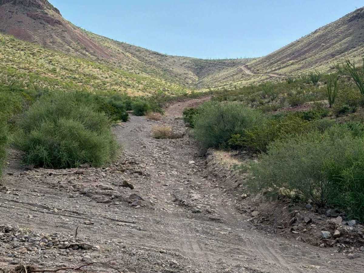
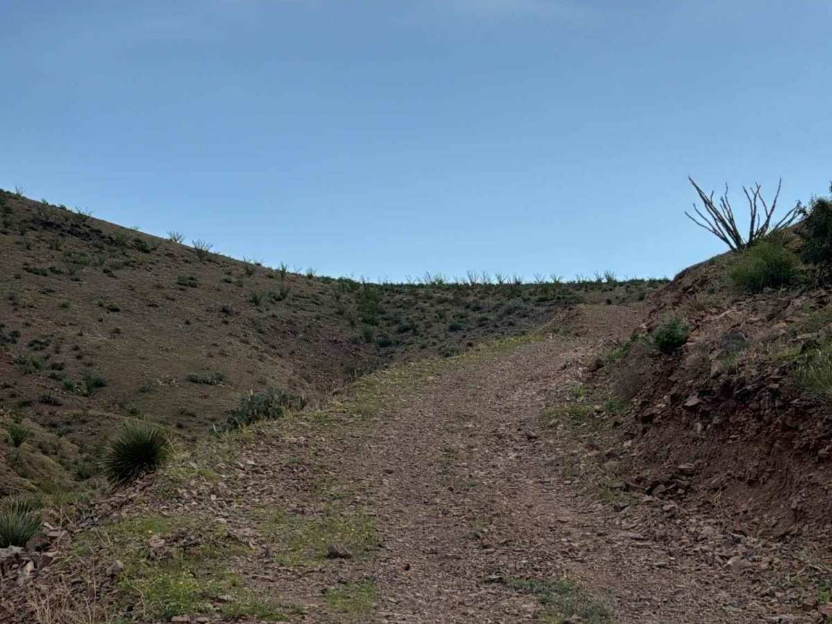
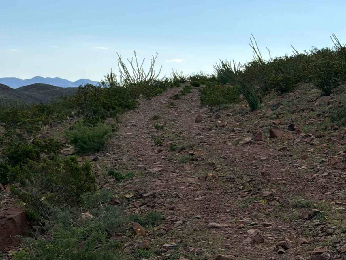
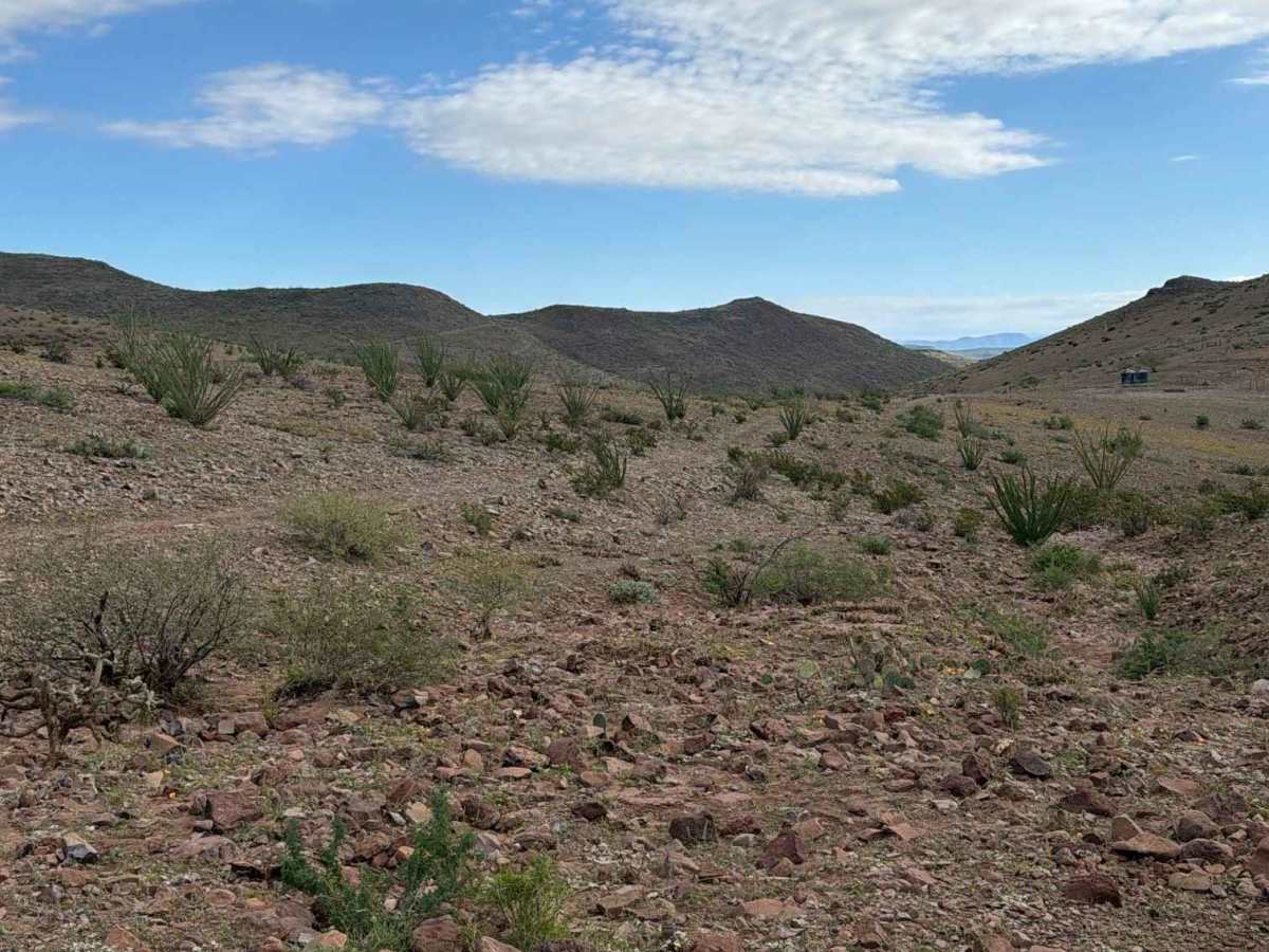
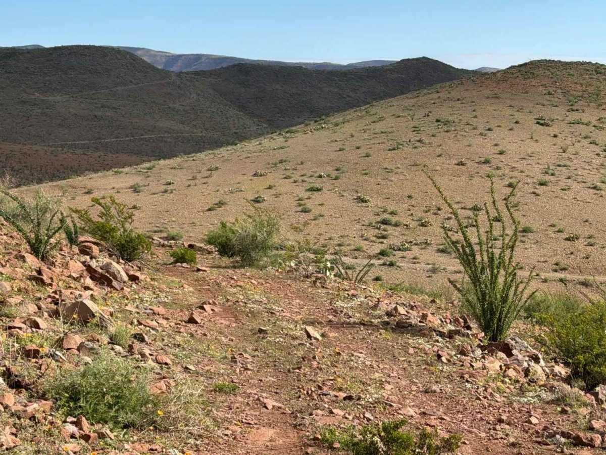
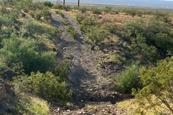
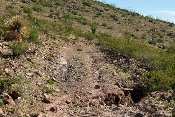
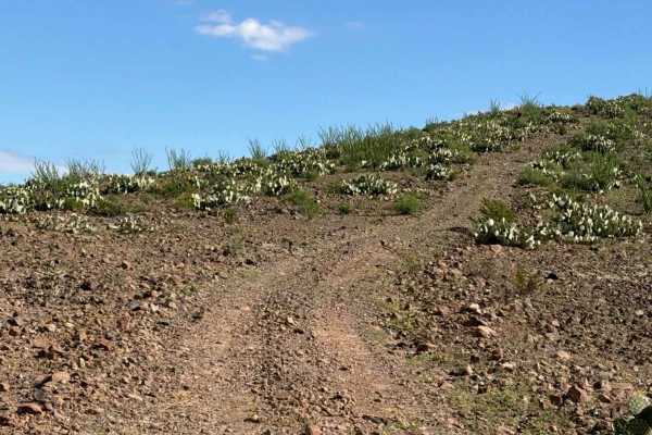
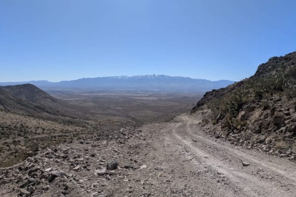
Trail Submission: This trail starts off Solomon Pass at the tank, turns right, and follows a wide two-track trail past the muddy tank and up the side of the mountain. A rock berm lines the trail, which is surrounded by ocotillos, prickly pear, and creosote. The trail is bumpy, with varied-sized rocks ranging from pea gravel to 6–12-inch rocks, along with a few water drainage ruts. Near the top, the trail narrows, and the rock berm disappears, leaving a hill on one side and a ledge on the other. At the top, the trail turns right, and the rock changes from red to white. A tank is located at the very top, where the trail makes a hard right and transitions to the next hill at the switchback before continuing to climb. Vegetation becomes thicker, with more cactus, and the trail becomes more natural. The route eventually provides a stunning view of Mount Graham before reaching a point where it no longer connects. Turn around and return downhill to the tank.
Difficulty
Extremely bumpy with loose rocks and steep climbs over 6–12-inch ledges in some sections. Nothing technical and no obstacles found. The trail ends at the top of the second hill, where you must turn around.