BLM SA1095B

Total Miles1
Technical Rating
4Moderate
Best TimeSpring, Fall, Winter, Summer
Trail TypeFull-Width Road
Accessible By
Open Trail Map

Trail Overview

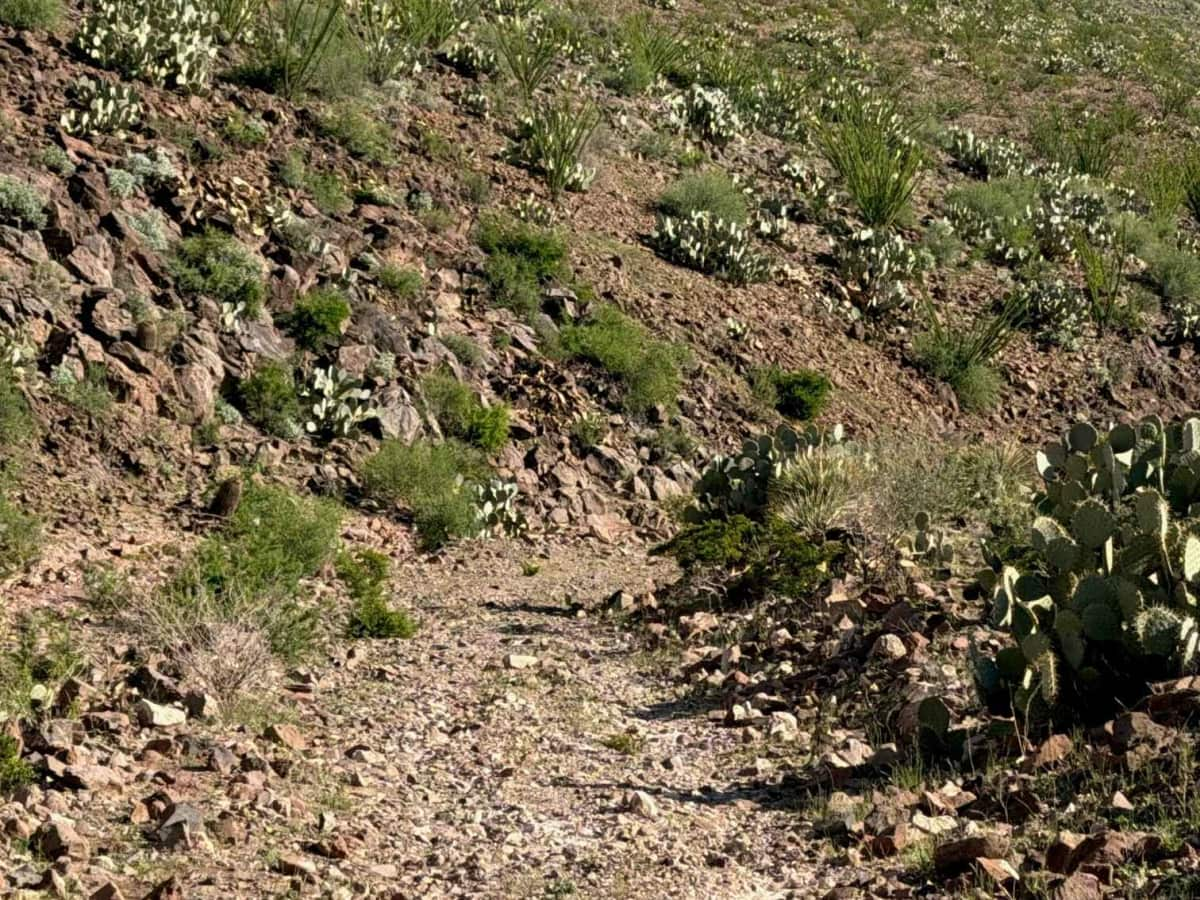
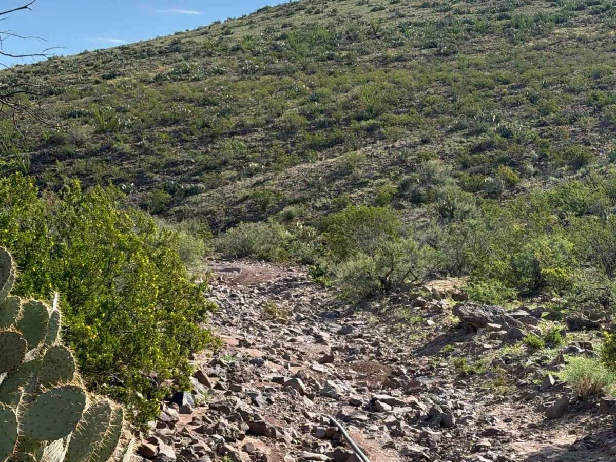
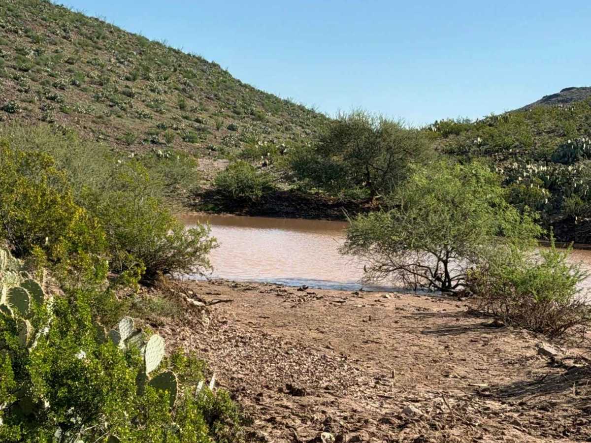
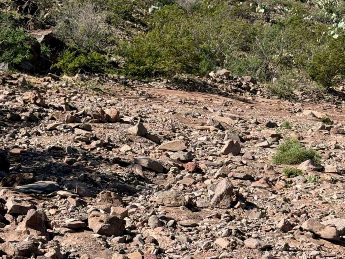
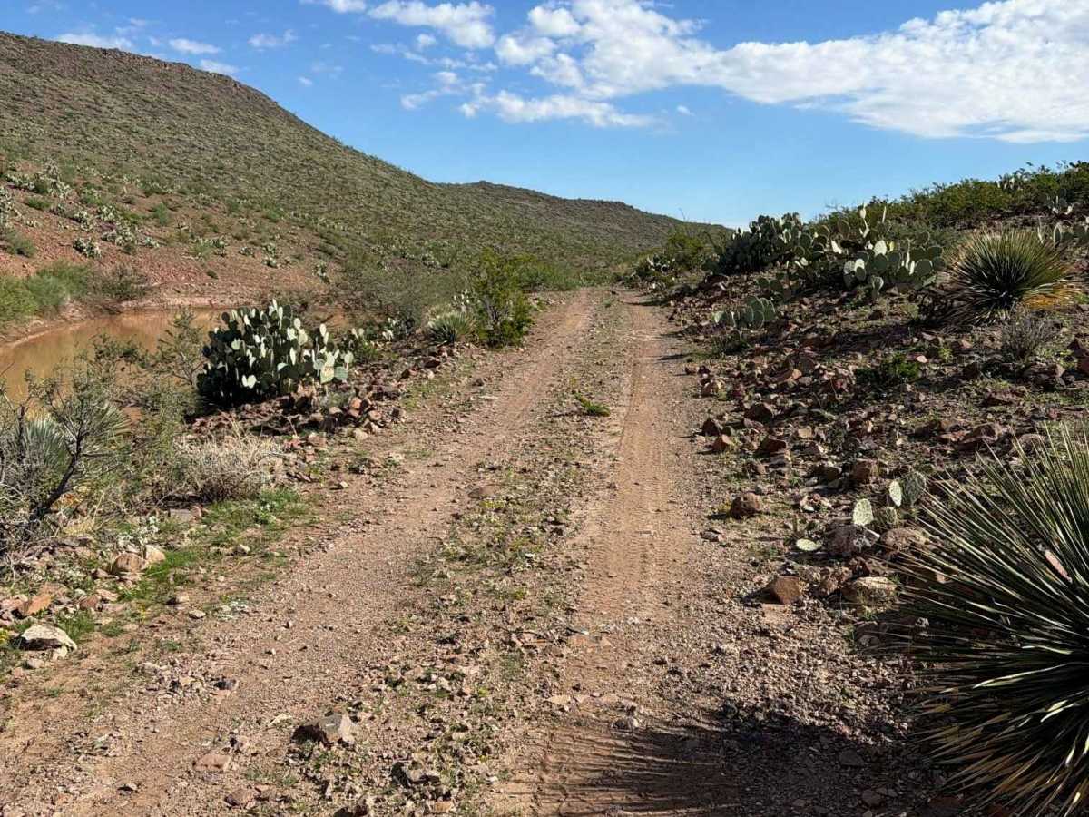
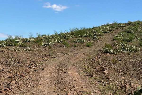
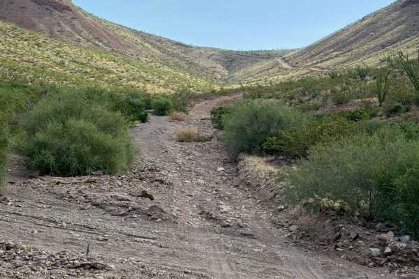
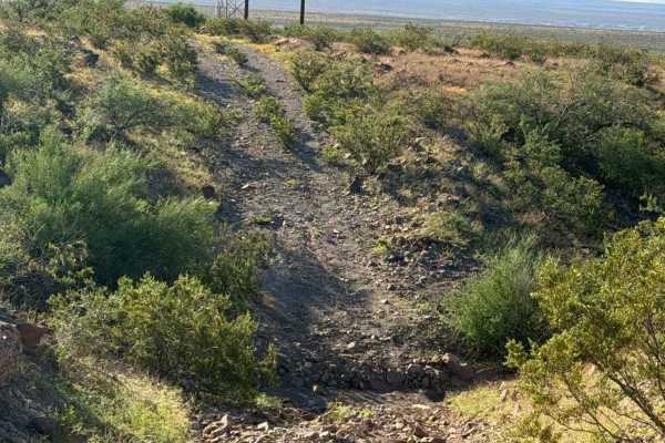
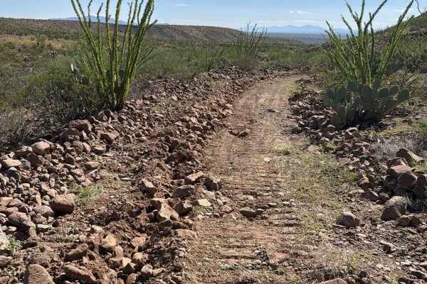
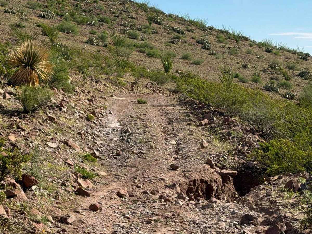
Trail SA1095B can only be reached by traveling through ZSA1187 from the tank and connecting to the second section of SA1095. From there, the trail descends and becomes significantly more technical, with much larger 12–18-inch rocks and extensive water damage. Recent rains broke the dam and flooded this section, scattering rocks throughout the trail. Do not cross or approach the second pond during or after rain, as the mud can become a sinkhole hazard. 4WD high clearance is recommended during and after wet conditions.

Photos of BLM SA1095B

Difficulty

A washout is present before the water tank, followed by sections with 12–18-inch rocks after the first tank. Water has washed over the road and the second catchment, so use caution during and after wet conditions. Mud holes can remain deep and thick until completely dry. 2WD or 4WD high clearance recommended.

Technical Rating

4

BLM SA1095B Trail can be accessed by the following ride types:

  • Single Track
  • 50 Inch
  • 60 Inch
  • High Clearance
  • Full Width

BLM SA1095B Map

The onX Offroad Difference

onX Offroad combines trail photos, descriptions, difficulty ratings, width restrictions, seasonality, and more in a user-friendly interface. Available on all devices, with offline access and full compatibility with CarPlay and Android Auto. Discover what you're missing today!

Open Trail Map