Trail Overview
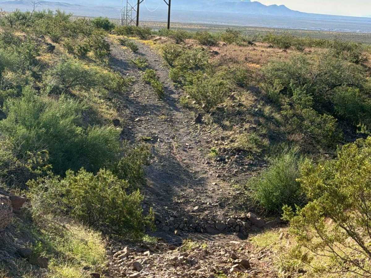
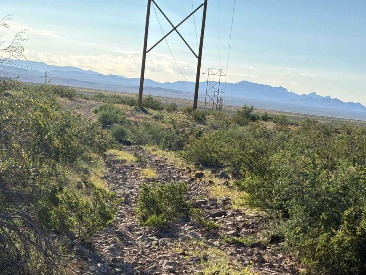
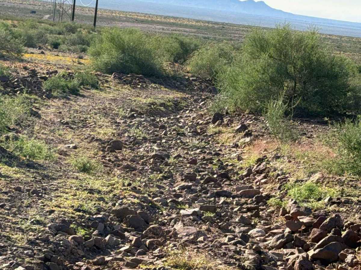
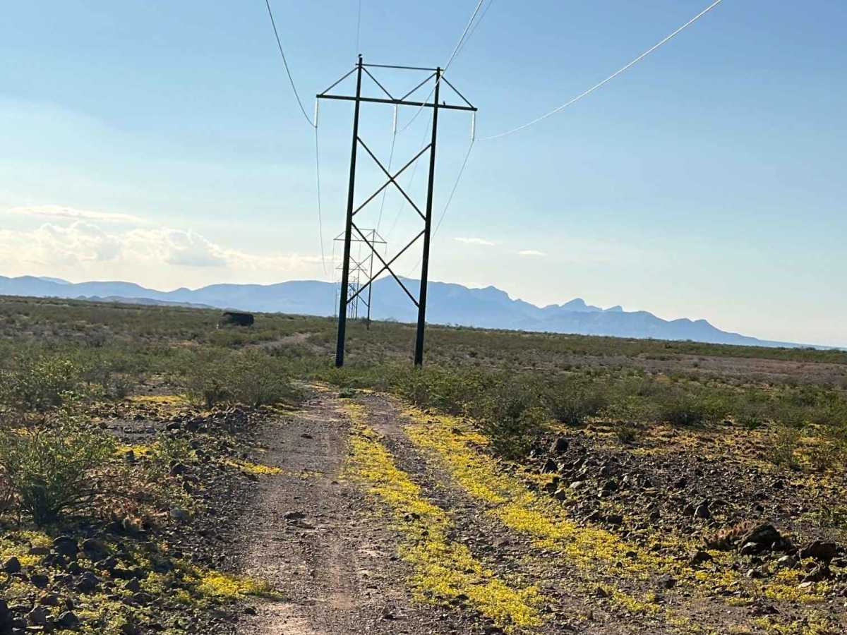
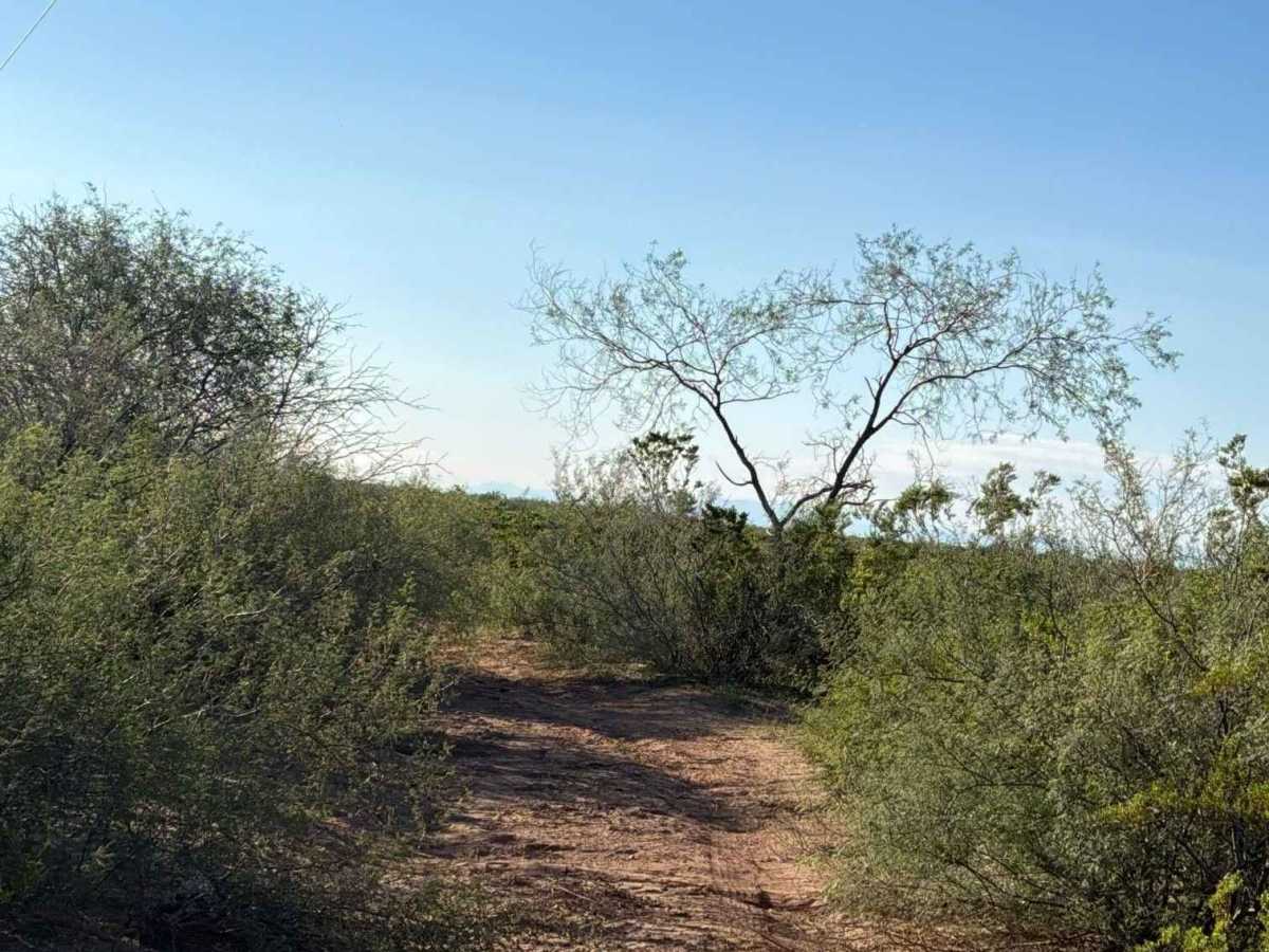
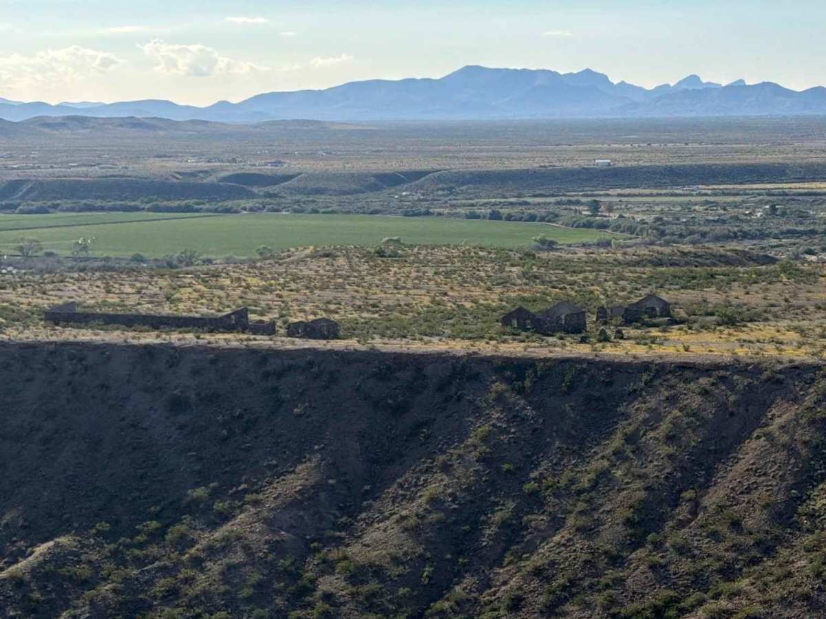
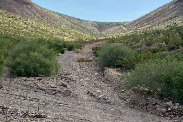
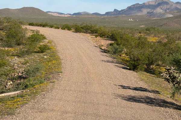
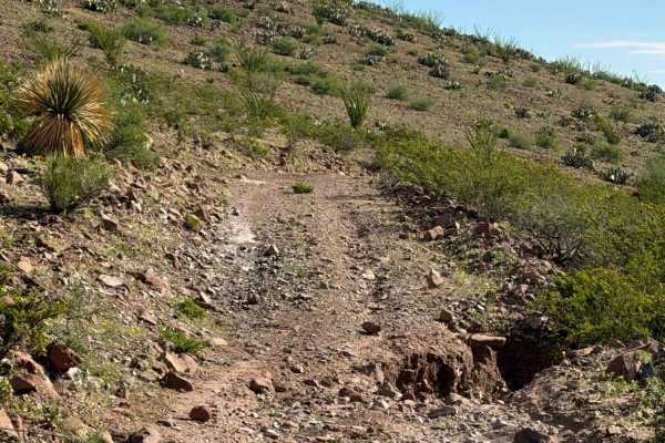
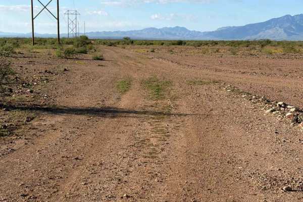
Trail SA1082 runs from SA1081 to SA1084 and follows the east-west power lines through desert creosote. Several sections contain 6–12-inch rocks, making the trail extremely bumpy, and 2WD or 4WD high-clearance vehicles are recommended. A livestock water tank and a few open areas suitable for camping are located along the route. As you progress east, the trail becomes tighter, with larger, taller creosote that can cause pinstripes. A significant water drainage rut requires high clearance, so watch your speed. At the end of the straightaway, the trail makes a sharp turn south and runs very close to the cliff’s edge, so use caution. The trail ends at Ghost Camp, now under the Civilian Conservation Corps camp.
Difficulty
A few water drainage ruts and one washed-out section of the wash. Creosote is growing in the center of the trail in a few sections. On the east side, the trail turns south and gets close to the edge, so watch your speed.