BLM SA1081

Total Miles1.9
Technical Rating
2Easy
Best TimeSpring, Fall, Winter, Summer
Trail TypeFull-Width Road
Accessible By
Open Trail Map

Trail Overview

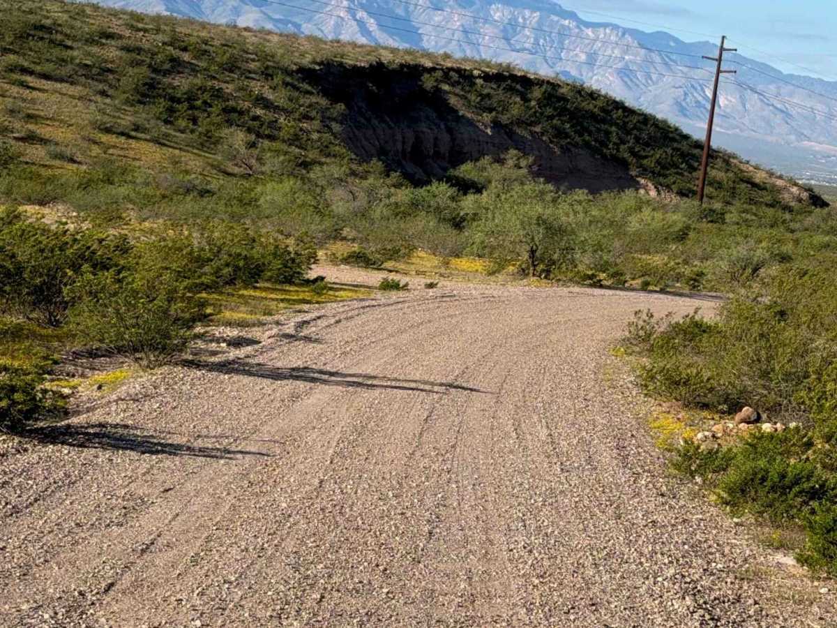
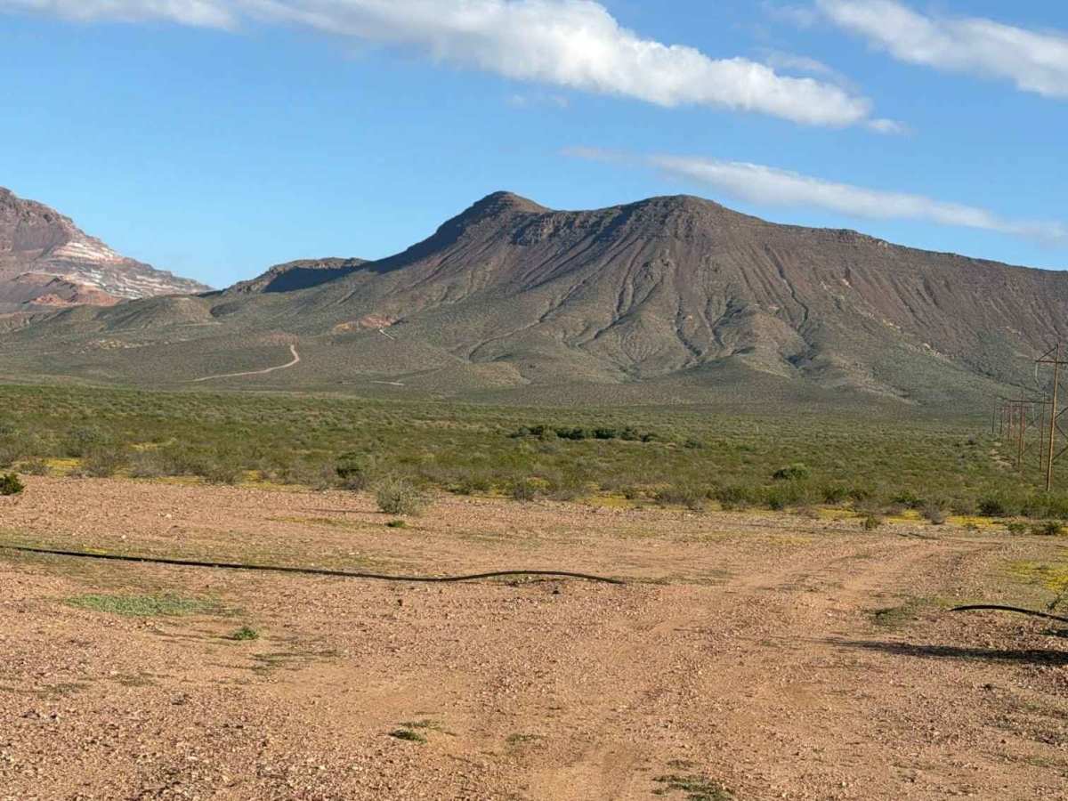
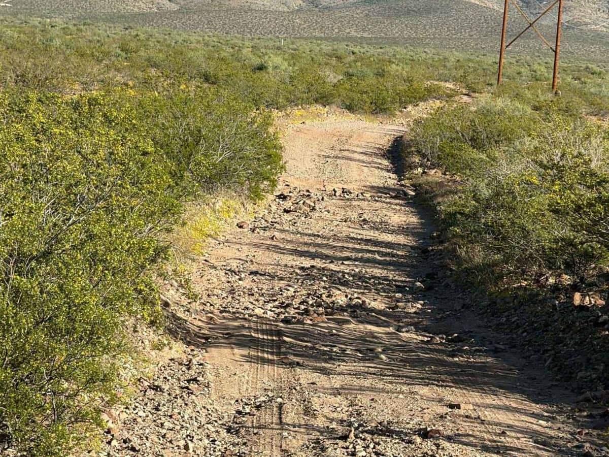
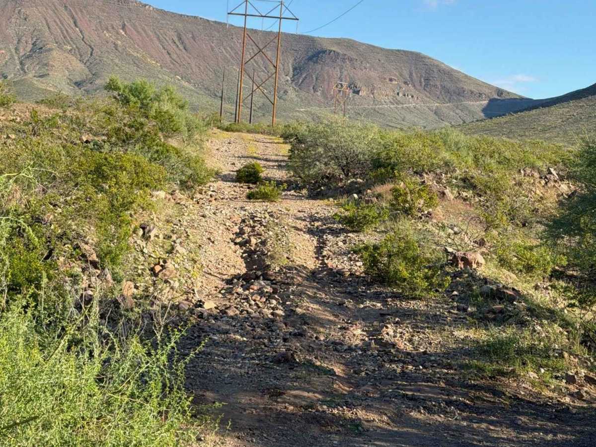
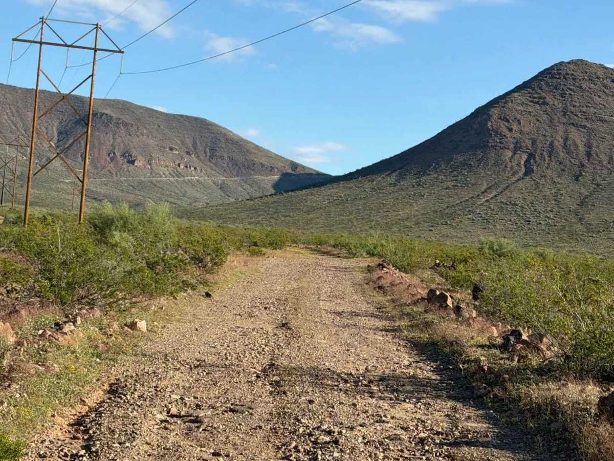
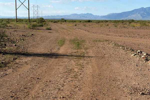
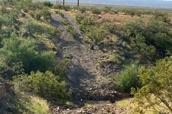
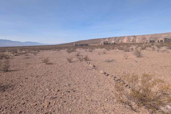
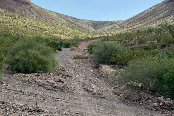
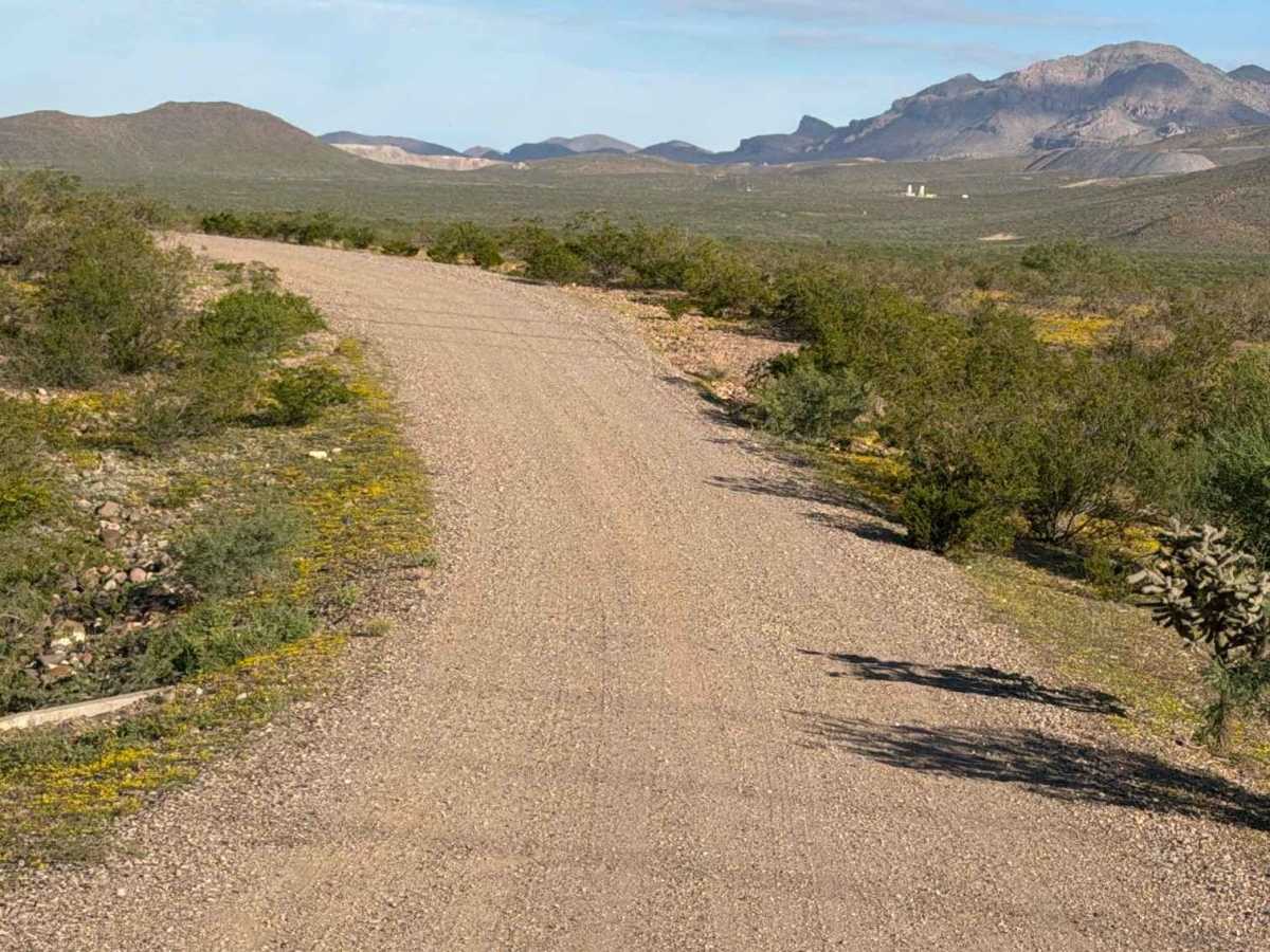
Trail SA1081 begins or ends on private property and continues north alongside power poles. This wide, two-track trail features gravel berms, desert creosote, barrel cactus, and scenic mountain views. The route includes several rocky sections with rocks up to 6 inches, a few washouts, and a bumpy wash crossing. No technical obstacles were encountered, making it a great connector trail with several spur trails to explore along the way. The northern section becomes increasingly bumpy, with drainage ruts from recent rain. Use caution around washouts and changing trail conditions.

Photos of BLM SA1081

Difficulty

Bumps from water drainage ruts, a few washouts, and rocks up to 6 inches. No obstacles or technical sections.

Technical Rating

2

BLM SA1081 Trail can be accessed by the following ride types:

  • Single Track
  • 50 Inch
  • 60 Inch
  • High Clearance
  • Full Width

BLM SA1081 Map

The onX Offroad Difference

onX Offroad combines trail photos, descriptions, difficulty ratings, width restrictions, seasonality, and more in a user-friendly interface. Available on all devices, with offline access and full compatibility with CarPlay and Android Auto. Discover what you're missing today!

Open Trail Map