BLM SS1031

Total Miles1.5
Technical Rating
3Easy
Best TimeSpring, Summer, Fall, Winter
Trail TypeFull-Width Road
Accessible By
Open Trail Map

Trail Overview

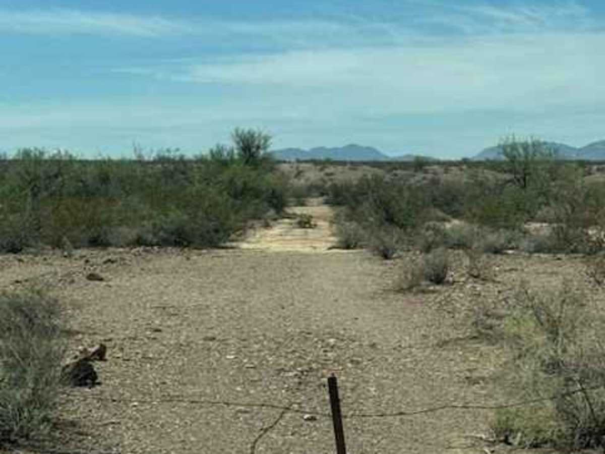
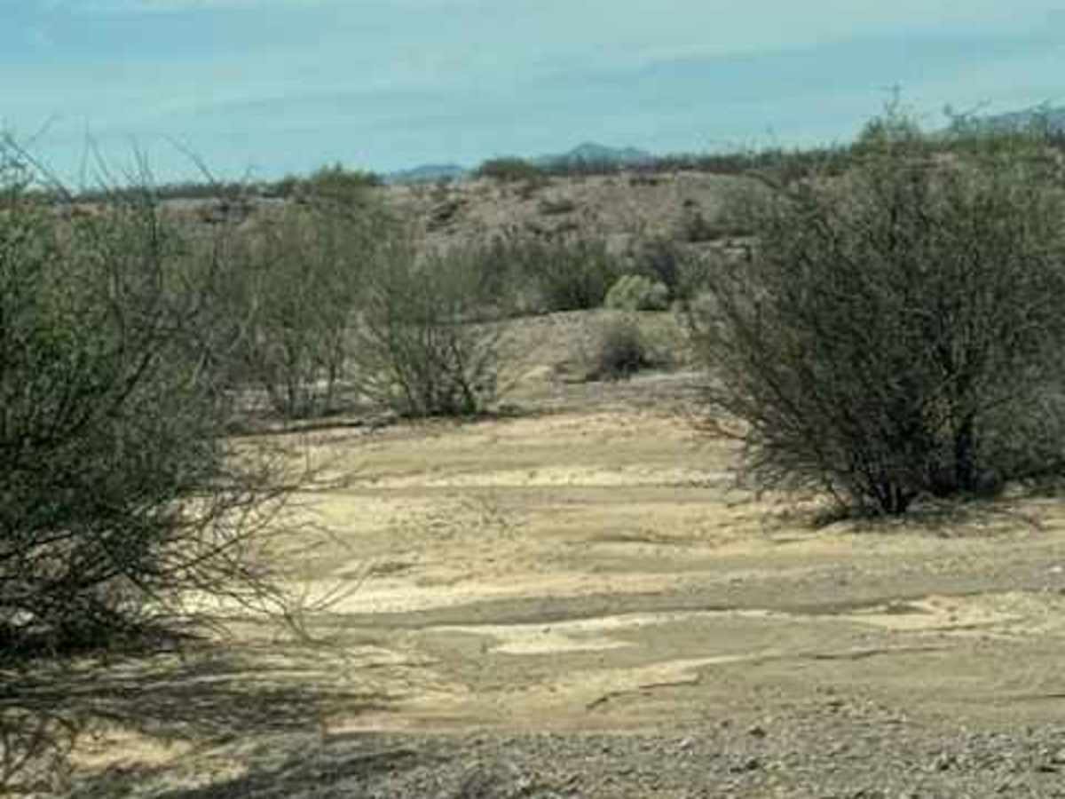
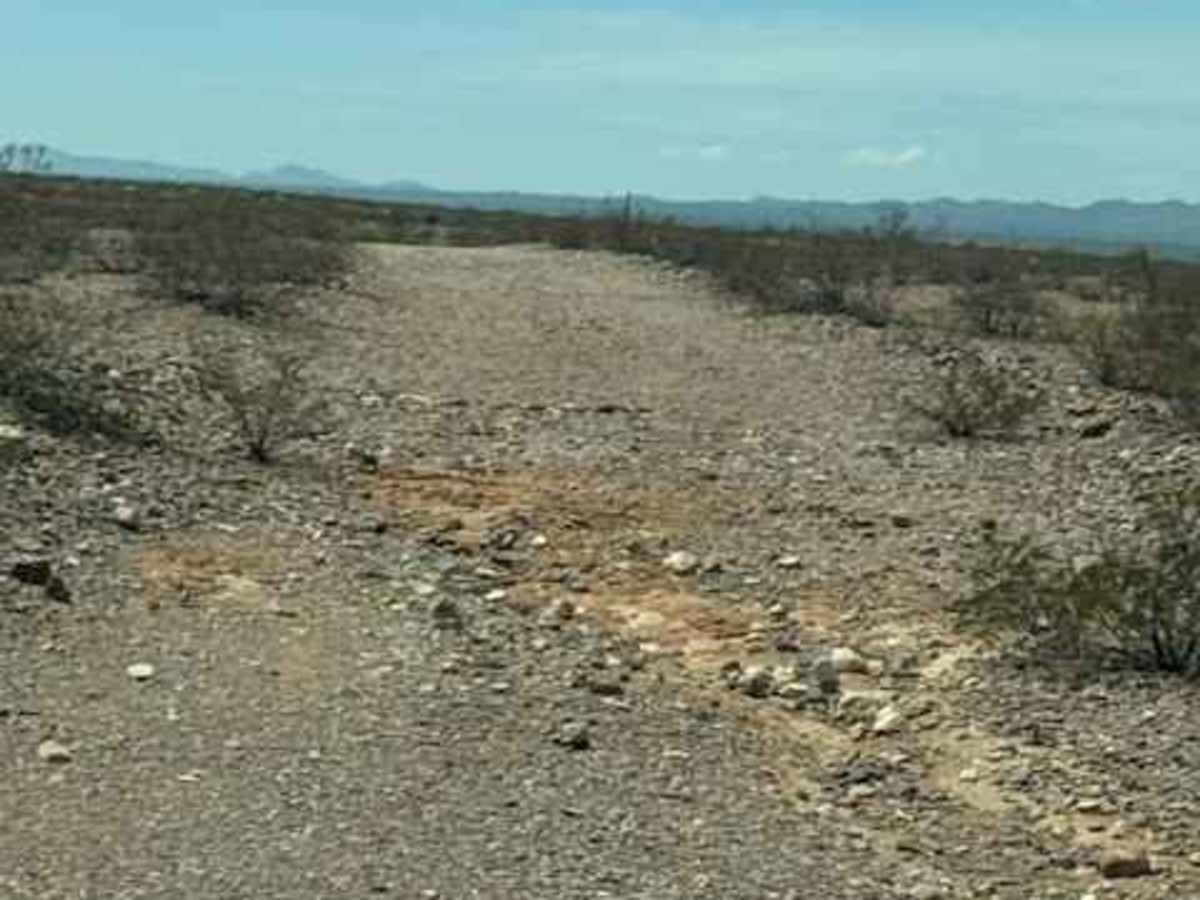
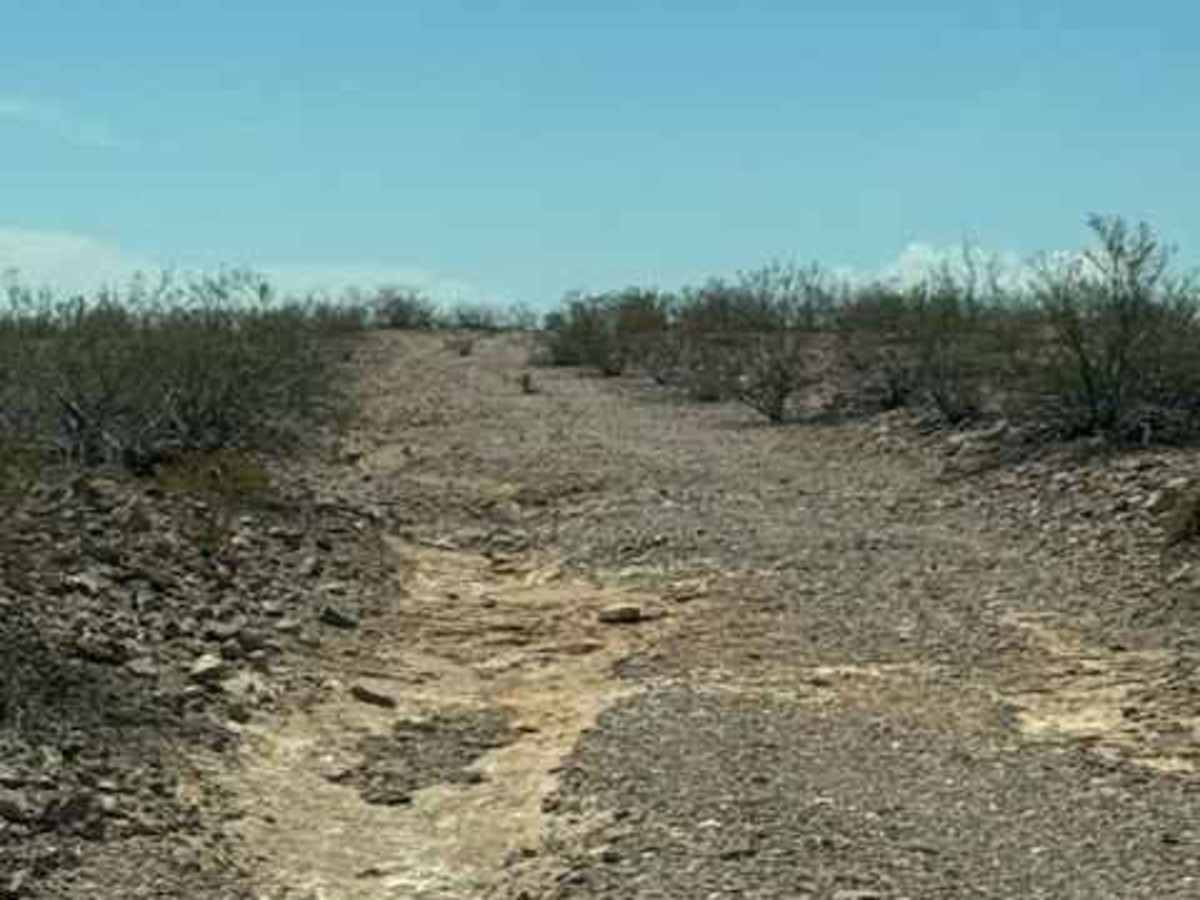
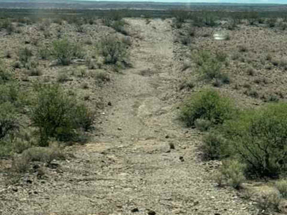
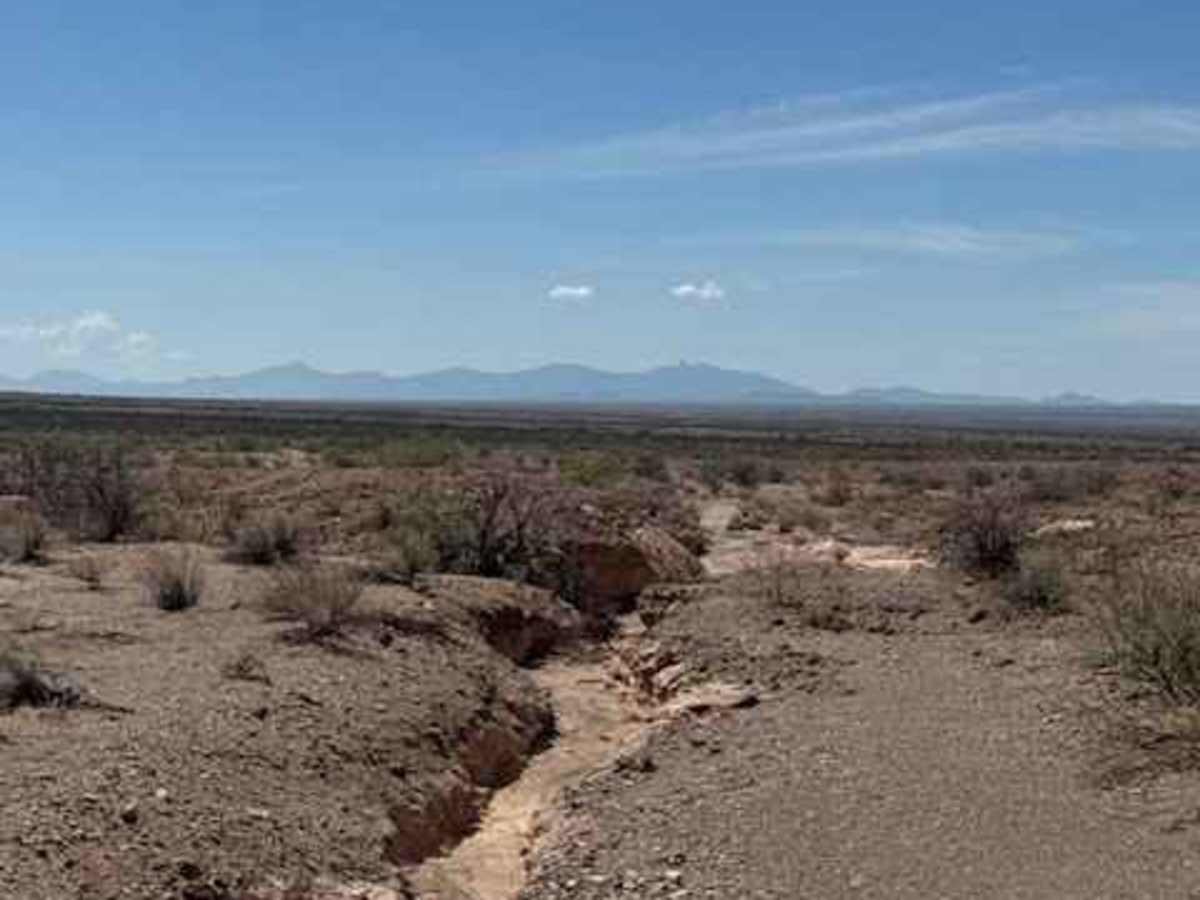
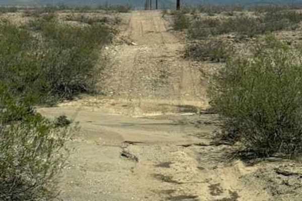
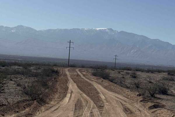
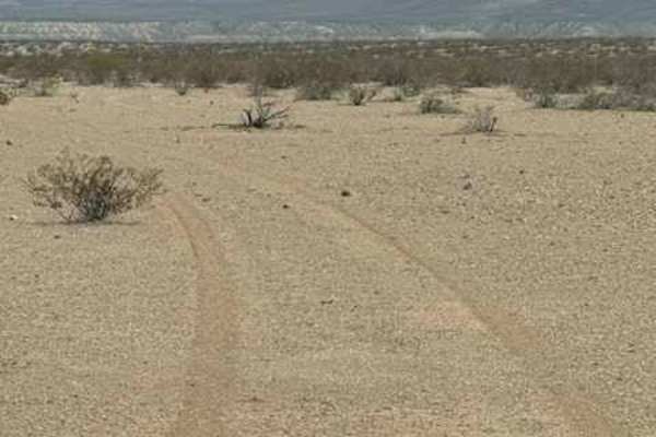
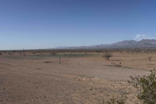
BLM SS1031 starts at a gate off Highway 70 and travels through several heavily eroded wash sections. Most of the washouts have manageable lines or bypasses, with high-clearance 4WD recommended. After the first hill, you’ll encounter a larger washed-out section that can be taken as a fun obstacle or easily bypassed to the right. The trail continues through additional erosion and eventually crosses Ss1020. Shortly after crossing and descending the hill, the route currently comes to an abrupt stop due to major water erosion washout. The trail is no longer passable beyond this point without altering the trail and going off track. The sand is deep and very soft. A cave-in is likely in this area. Monsoon conditions will continue to change the route, so use caution around all washouts and drainage crossings.

Photos of BLM SS1031

Difficulty

Major washouts and Wash crossings all have workarounds on the north but will continue to change. With each monsoon. Not passable in wet conditions. 4wd high clearance recommended. Trail to the south is completely washed out; trail ends.

Technical Rating

3

BLM SS1031 Trail can be accessed by the following ride types:

  • Single Track
  • 50 Inch
  • 60 Inch
  • High Clearance
  • Full Width

BLM SS1031 Map

The onX Offroad Difference

onX Offroad combines trail photos, descriptions, difficulty ratings, width restrictions, seasonality, and more in a user-friendly interface. Available on all devices, with offline access and full compatibility with CarPlay and Android Auto. Discover what you're missing today!

Open Trail Map