BLM PE1010

Total Miles1.5
Technical Rating
2Easy
Best TimeSpring, Summer, Winter, Fall
Trail TypeFull-Width Road
Accessible By
Open Trail Map

Trail Overview

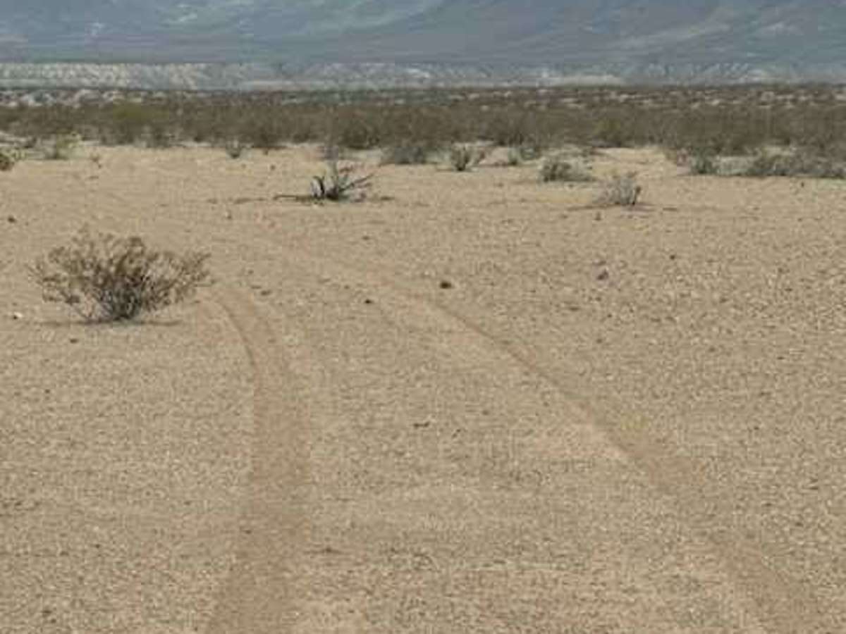
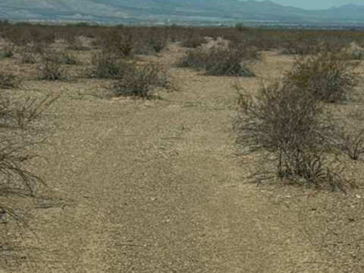
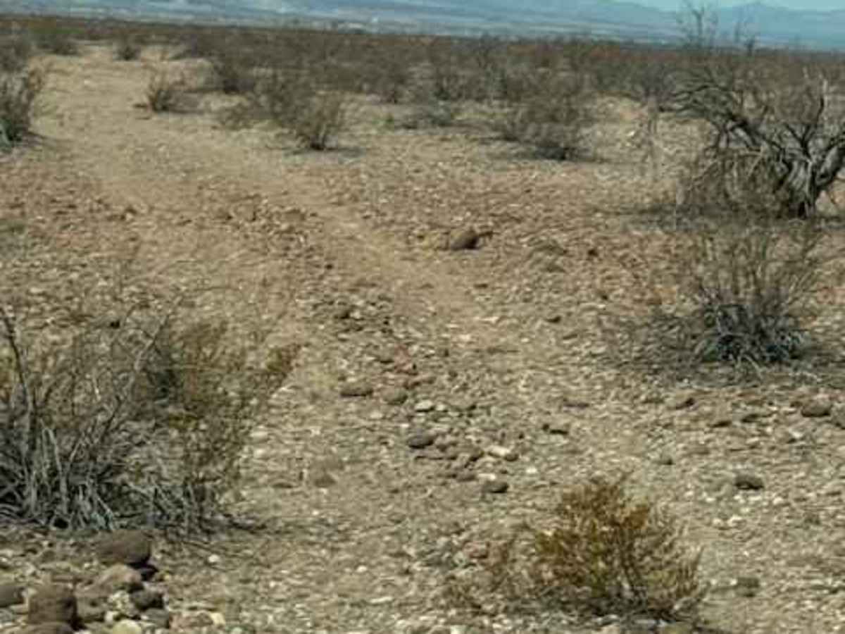
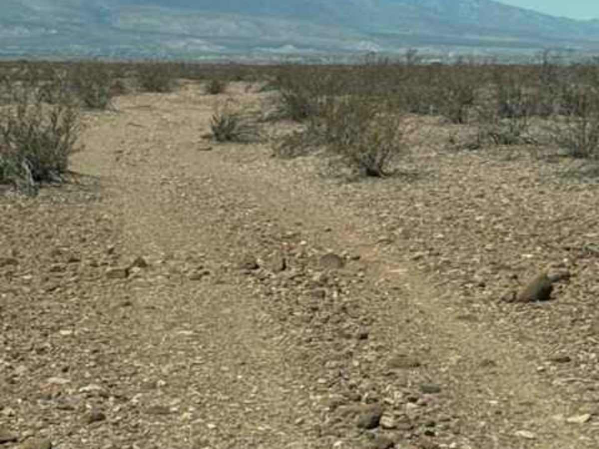
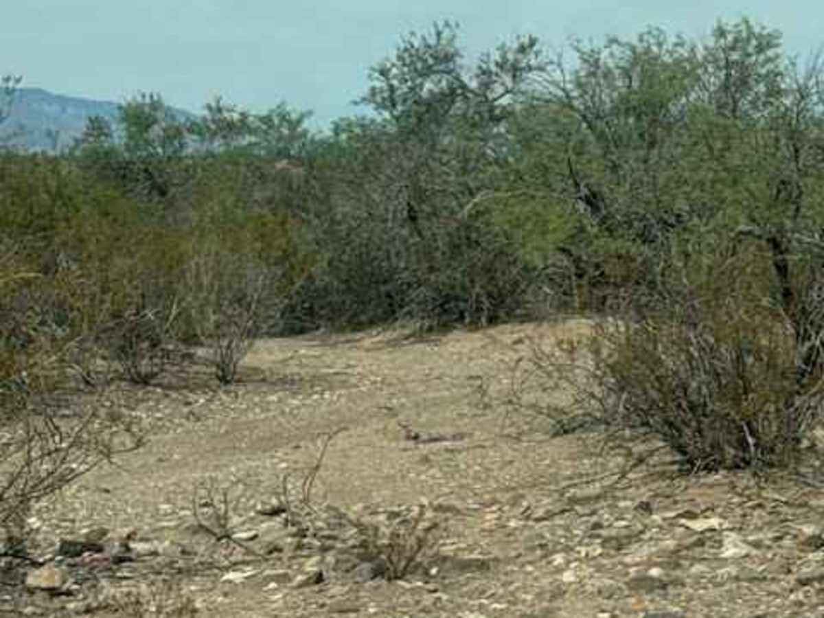
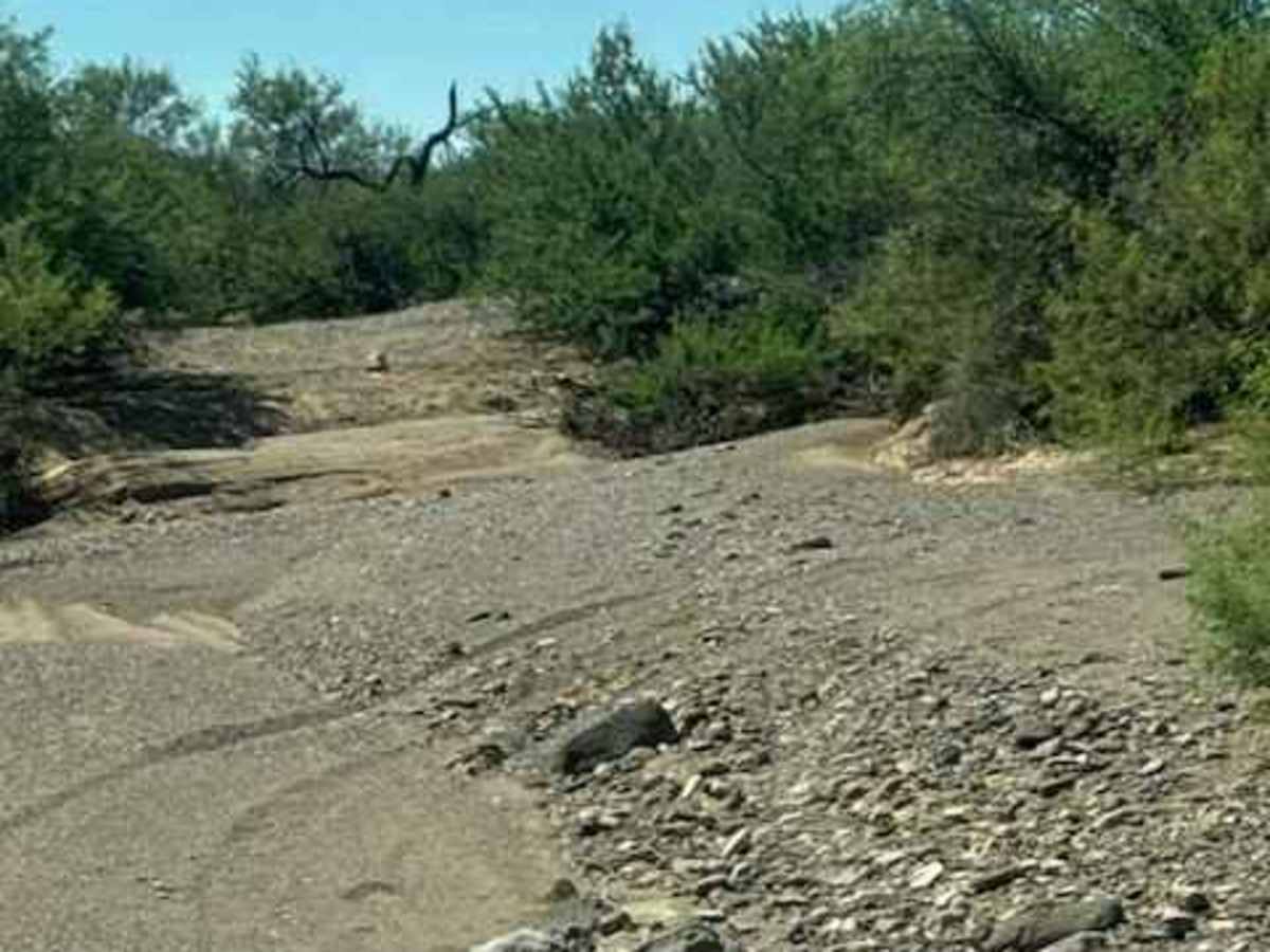
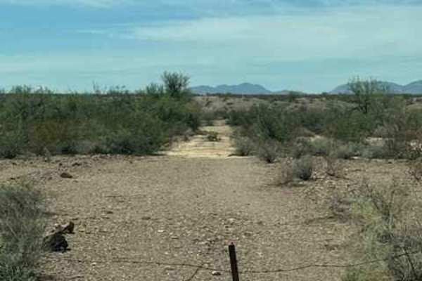
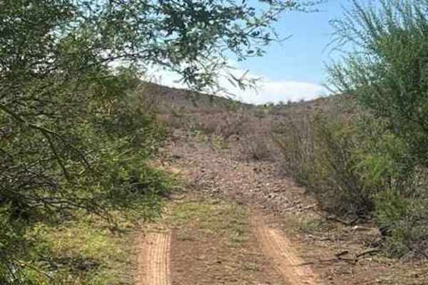
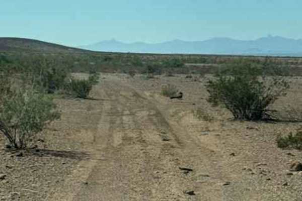
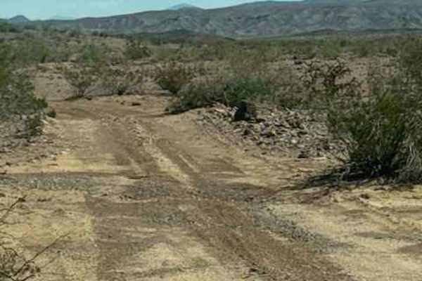
BLM PE1010 is a connection trail. A wide gravel two-track trail runs through the desert, with zigzags traveling east and west, sitting north of Highway 70. The trail is smooth in most sections; it runs along the top of a large wash and eventually makes its way down to cross the wash. Impassable in wet conditions; the wash trail gets tight with overgrown, well-watered vegetation after monsoons. When you get to the wash, you will have to find the way into the wash. It would be wise to get out and walk it first; each monsoon changes the landscape. Once you reach the other side, you will complete a section of small drainage-type washes that feel like you are riding across several whoops; the end of the trail is at an intersection of trails. Left will take you out to the Highway. This area is not passable in wet conditions.

Photos of BLM PE1010

Difficulty

The wash crossing will require hunting for the way across. It is hidden in overgrown bushes, but it is there.

Technical Rating

2

BLM PE1010 Trail can be accessed by the following ride types:

  • Single Track
  • 50 Inch
  • 60 Inch
  • High Clearance
  • Full Width

BLM PE1010 Map

The onX Offroad Difference

onX Offroad combines trail photos, descriptions, difficulty ratings, width restrictions, seasonality, and more in a user-friendly interface. Available on all devices, with offline access and full compatibility with CarPlay and Android Auto. Discover what you're missing today!

Open Trail Map