Trail Overview
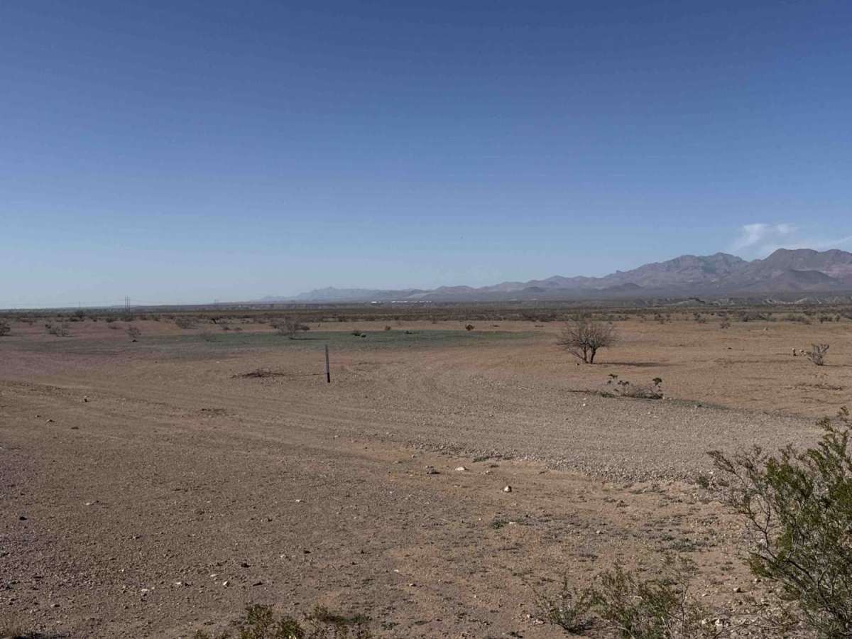
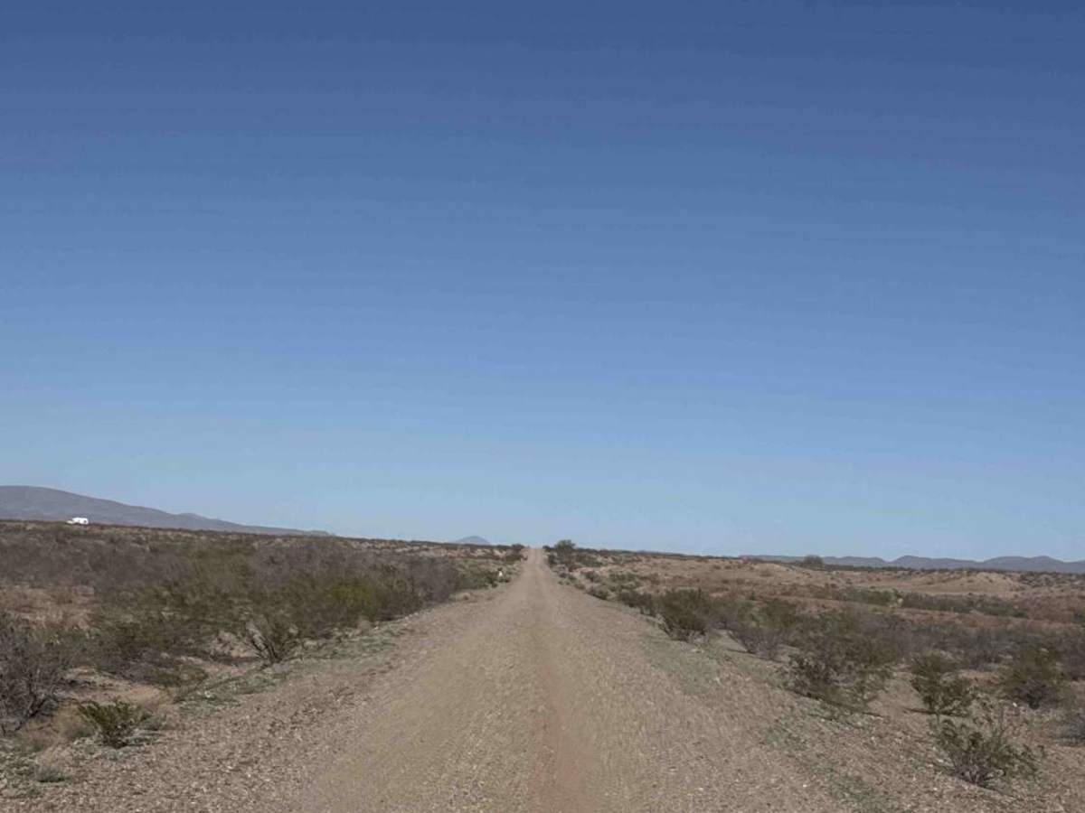
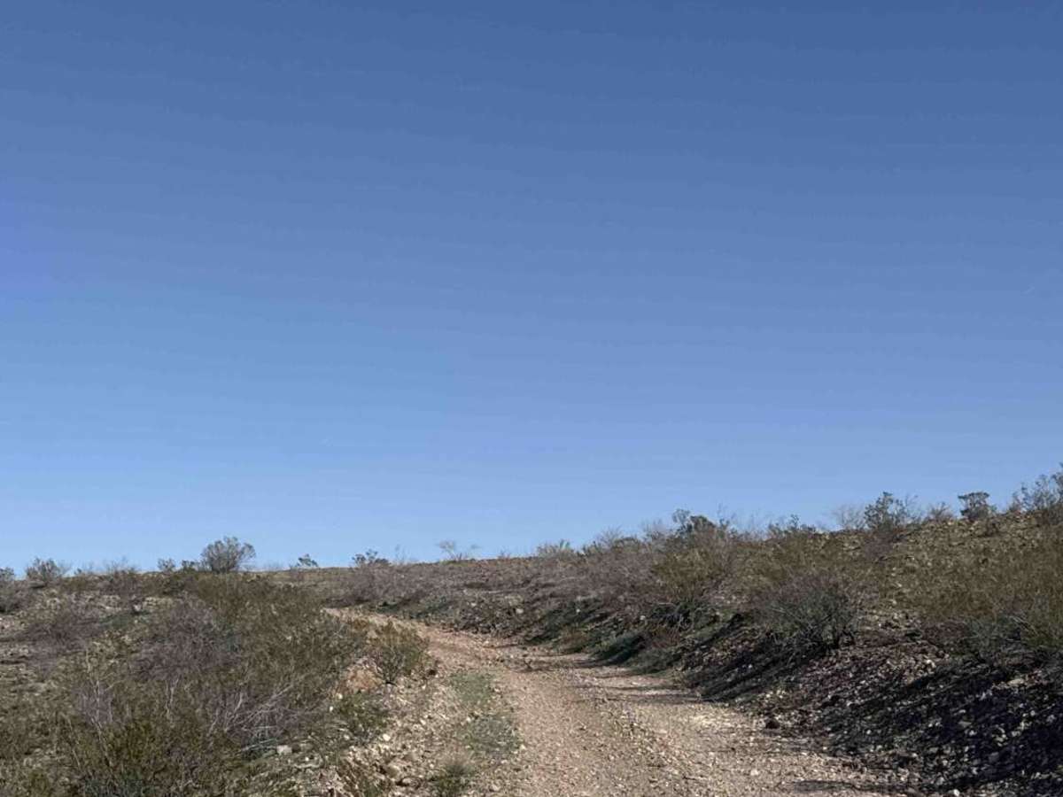
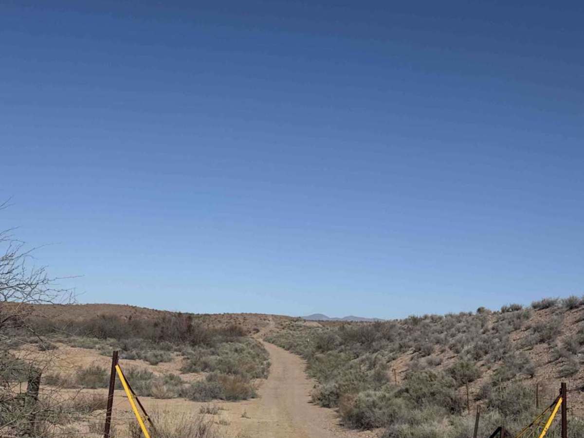
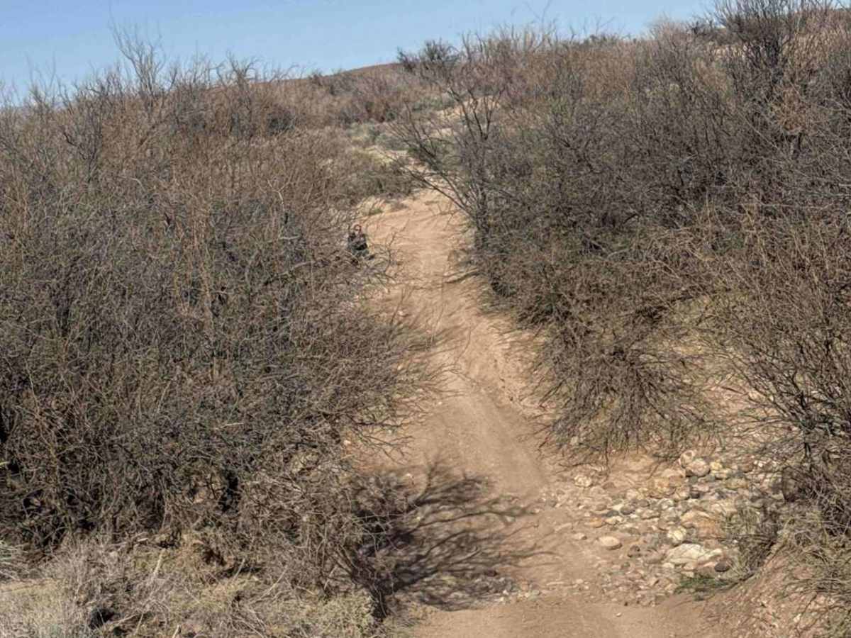
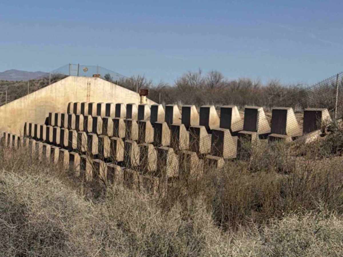
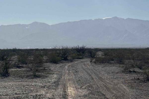
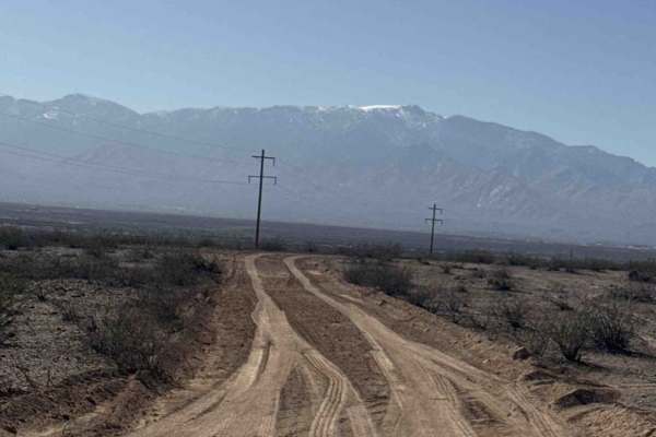
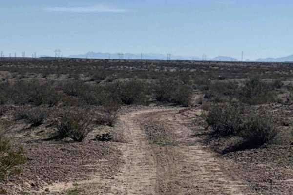
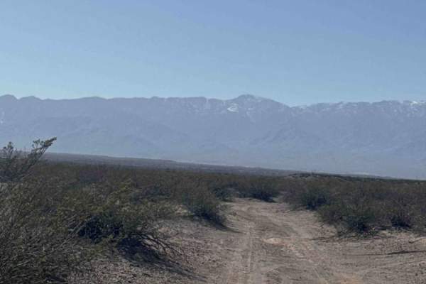
Ss1022 starts from Haekel Road, with multiple camping spots right at the beginning of the trail. In normal conditions, this is an easy route suitable for both 2WD and 4WD. There’s a nice viewpoint at the top of the downhill section. At the Y, keep right and follow the road around the hill. When you reach the fence line, turn right and continue about half a mile to the cattle guard. The Sam Simon barrier dam sits just off to the left. From the dam, the trail dips into a wash and climbs back out quickly. Expect a few off-camber ruts and watch for sharp culvert edges as you exit the dirt. Stay right on the climb, and you’ll reach the railroad tracks across from Ss1016. Although the map shows Ss1022 crossing the tracks, no confirmed crossing was located (possibly farther up the line).
History
The San Simon Barrier Structure was originally constructed in 1940 and later improved by the Bureau of Land Management around 1980 as part of a watershed rehabilitation and erosion control effort. The project cost approximately $1.3 million and used about 224,000 cubic yards of earth fill, reinforced concrete, and more than 300,000 pounds of steel. Unlike a traditional water-storage dam, the barrier was designed to slow floodwater moving down the wash, reduce upstream head cut erosion, trap sediment to rebuild the channel, and improve vegetation and rangeland conditions. It remains part of the broader San Simon watershed restoration system and serves as a long-term erosion management feature in this highly erodible desert basin rather than a structure for flood control or recreation.