BLM SS1029

Total Miles1.4
Technical Rating
2Easy
Best TimeSpring, Summer, Fall, Winter
Trail TypeFull-Width Road
Accessible By
Open Trail Map

Trail Overview

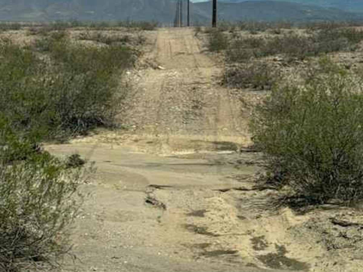
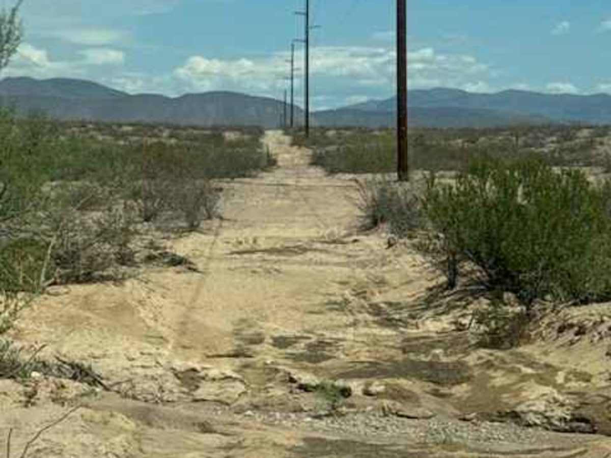
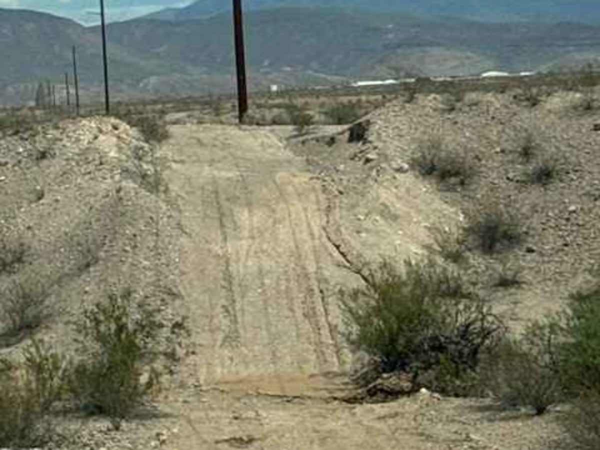
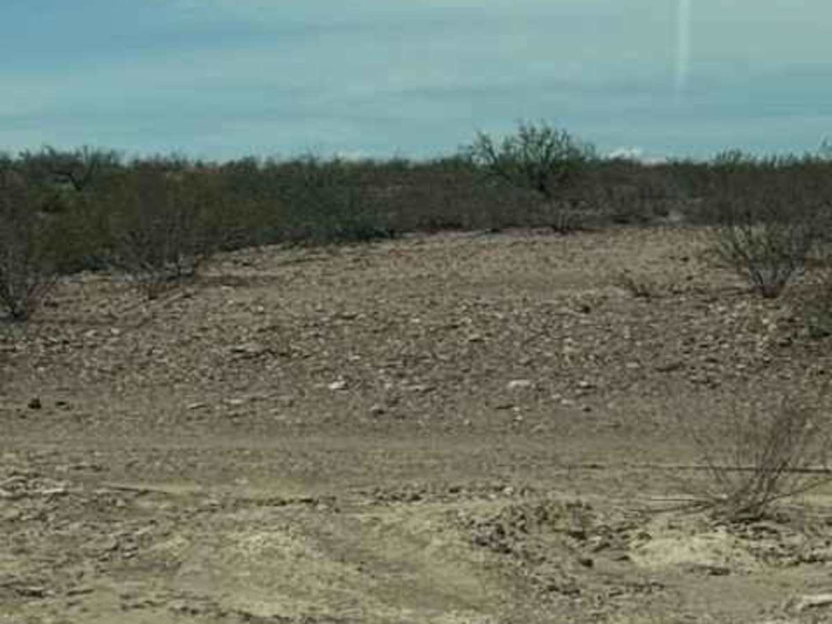
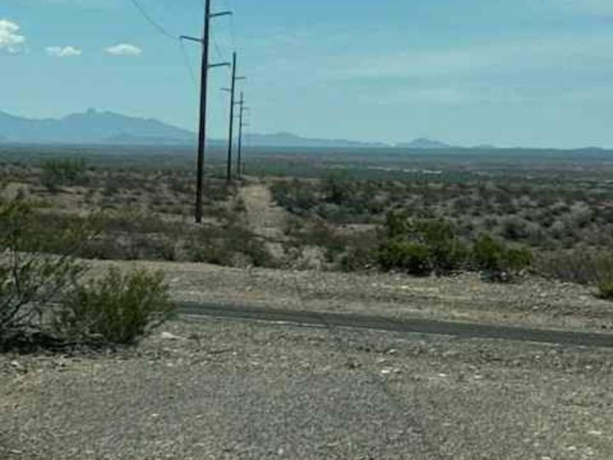
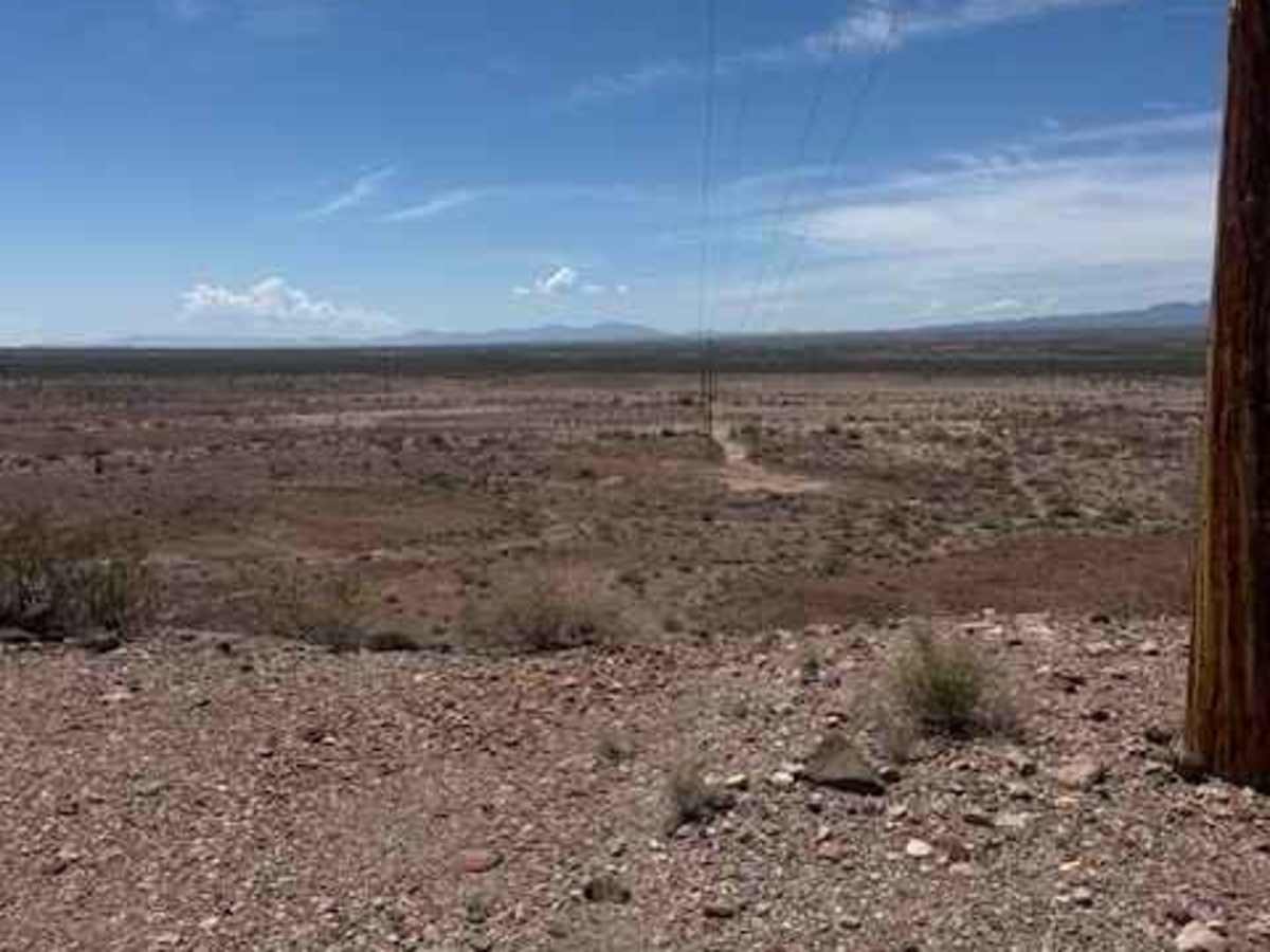
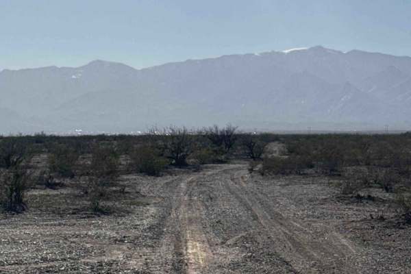
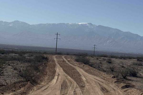
BLM SS1029 is a wide 2-track trail off Hakel Road and crosses BLM SS1020 before following alongside the northbound powerline. The route is a constant series of ups and downs through multiple small drainage wash crossings, with frequent rough transitions that require the driver's attention. The trail is bumpy, has typical desert vegetation, and becomes impassable in wet conditions. Each future monsoon storm will significantly alter these washes and the trail surface, so conditions should be expected to change after each major storm. The southern section of BLM SS1029 currently ends abruptly at the top of a large, wide river crossing. From the top of the hill, you can see the road continuing on the opposite side toward Ss1034, but the two sections no longer connect through the wide River wash.

Photos of BLM SS1029

Difficulty

No specific obstacle and nothing specifically technically challenging; lots of small water washouts from recent monsoons and lots of bumps impassable in wet conditions. 4WD high clearance recommended. Trail on the south side ends abruptly. Trail no longer goes through to Ss1034

Technical Rating

2

BLM SS1029 Trail can be accessed by the following ride types:

  • Single Track
  • 50 Inch
  • 60 Inch
  • High Clearance
  • Full Width

BLM SS1029 Map

The onX Offroad Difference

onX Offroad combines trail photos, descriptions, difficulty ratings, width restrictions, seasonality, and more in a user-friendly interface. Available on all devices, with offline access and full compatibility with CarPlay and Android Auto. Discover what you're missing today!

Open Trail Map