Trail Overview
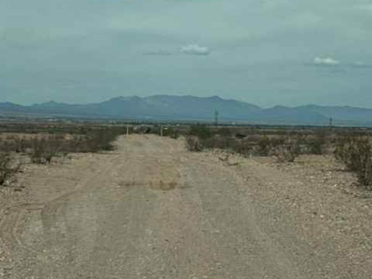
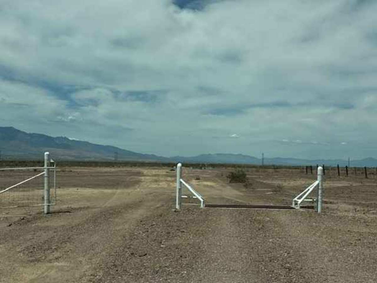
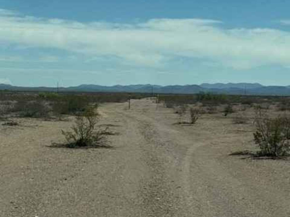
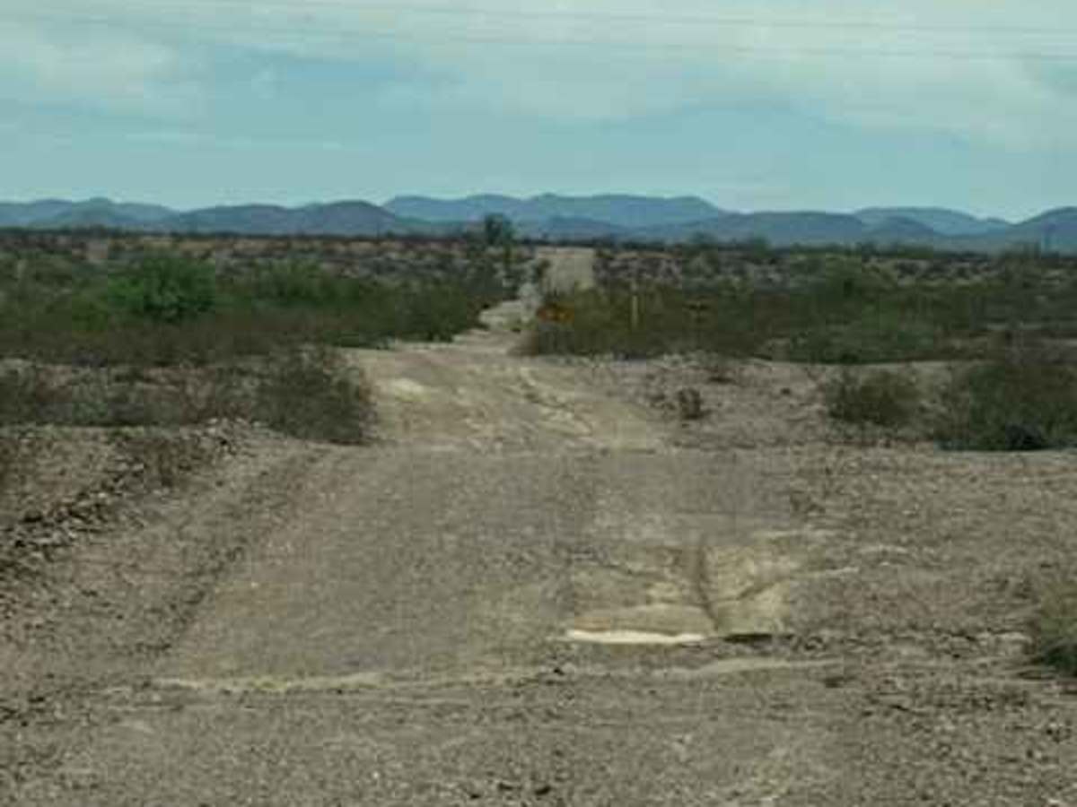
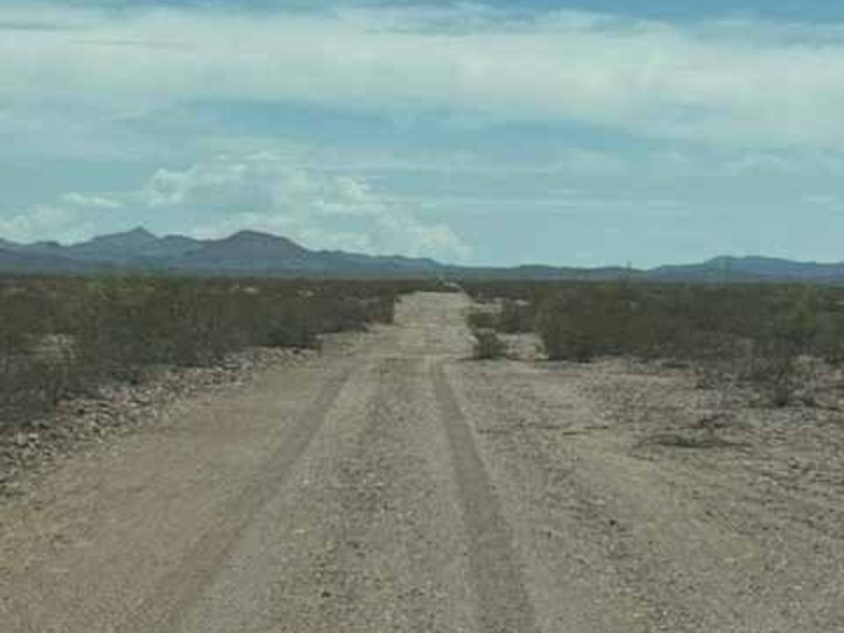
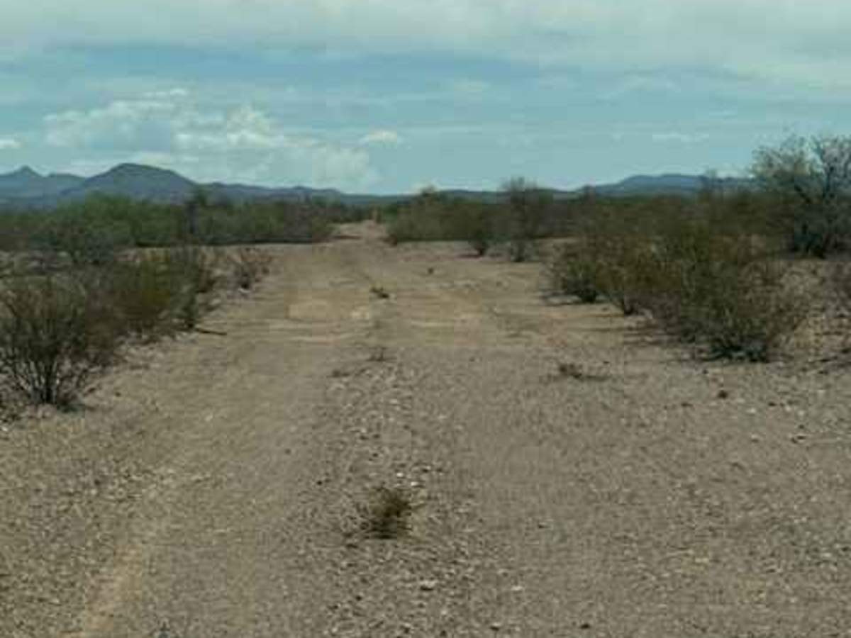
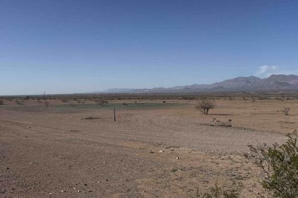
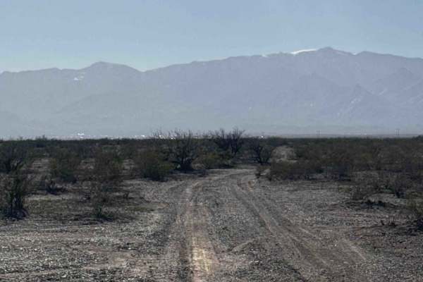
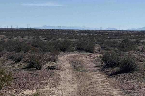
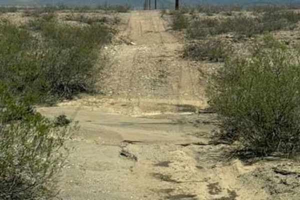
BLM SS1020 starts at BLM SS1019 and runs east and west along the Gas line above the wash. This trail is a great Connector trail and another way to skirt around the washes if they should become flooded. This is another trail much less likely to become flooded. The trail has some ruts and small drainage washouts, but for the most part, it's a wide 2-vehicle, 2-track trail across the desert. It connects to several spur trails as well. The east section offers additional access to Highway 70. This trail comes to an end sooner than expected; the wash is completely overgrown with thick trees. BLM SS1020j offers a way back to the highway or other trails to get around the wash section. This section of the trail has no way through to the other side.
Difficulty
Easy trail, great connector, and a great trail to seek higher ground if you should get caught in a flash flood. Nothing technical; no obstacles until the east section at the Wash crossing, which is completely closed. Few small drainage ruts; watch speed. Use BLM SS1020J to get around the closure.