Trail Overview
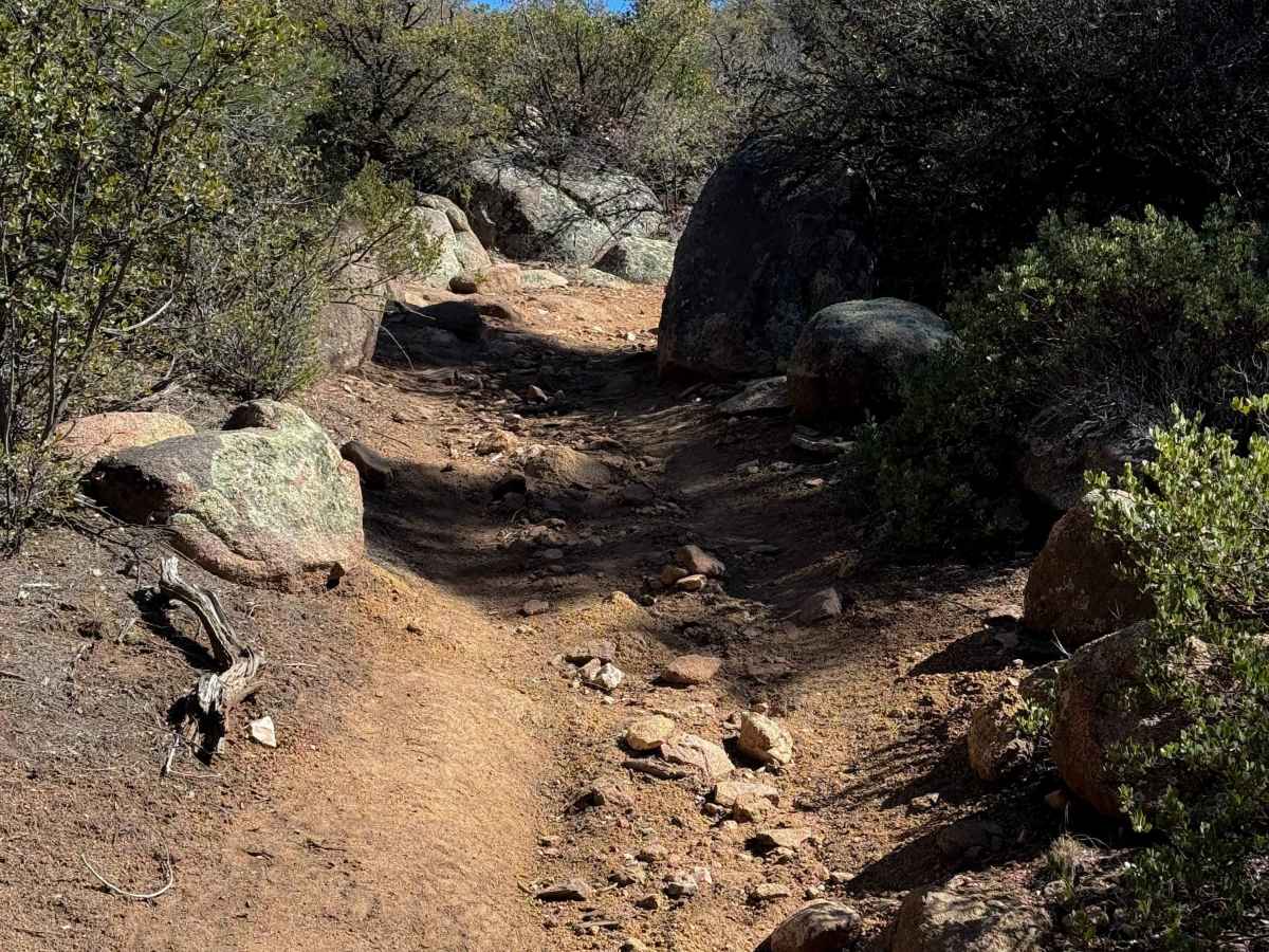
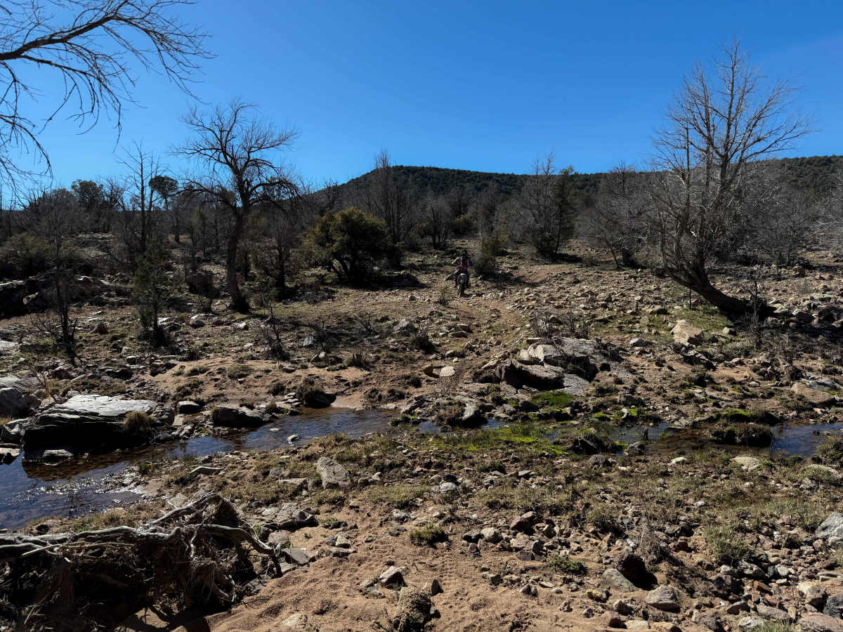
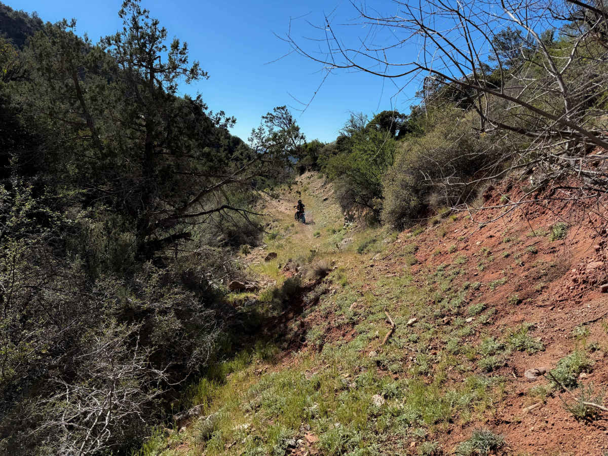
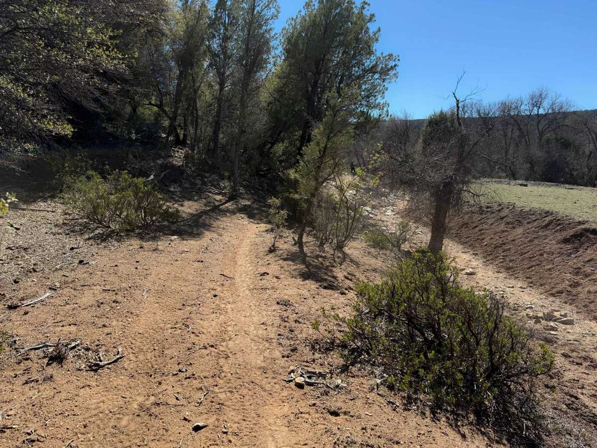
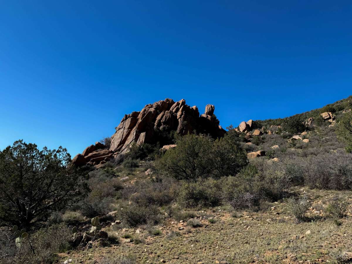
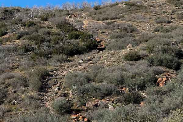
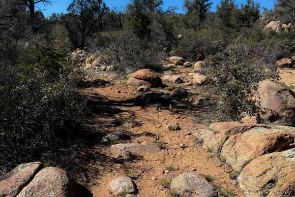
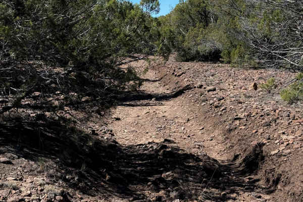
This trail starts on the east side as a scenic and flowy ATV trail through some towering cottonwoods, with giant boulders lining the trail. It’s smooth dirt to start, with some tight maneuvers through the trees, along a fence line next to some private property, and a small stream. After the intersection with #9941, it becomes more difficult and rocky. It crosses a shallow rocky creek, then starts climbing up some steep slopes that are full of loose rocky cobble, making it difficult to maintain traction and momentum. It’s a long, sustained climb with bigger boulders as well, loose dirt, ruts, and small ledges. The trail remains rocky for most of the rest of the route, with little relief. It descends down another steep slope full of cobble. Sometimes the rock is more packed down, and you can pick a good line through it, but other times it is more loose and pings you around. There are a couple of switchbacks that are steep and tight that would be a challenge for ATVs. After the big descent, it goes underneath some really scenic rocky outcroppings, but then becomes narrower and washed out, elevated above a ravine (at about the 4-mile mark from the east entrance), which would make it difficult for an ATV to pass through here safely. The west end of the trail keeps climbing up and starts to be more overgrown with grass, which obscures the loose rocks underneath it. The trail ends on Forest Service Road 705A at a forest service building at the start of Trail #13.
Difficulty
This is a moderate trail due to a constantly rocky surface full of loose cobble, very steep grades, moderate switchbacks, and narrow, washed-out segments. Although designated for ATVs, this trail is more suited to experienced dirt bikers, as segments seem too narrow for ATVs to pass safely. It does not look commonly trafficked by ATVs.