Trail Overview
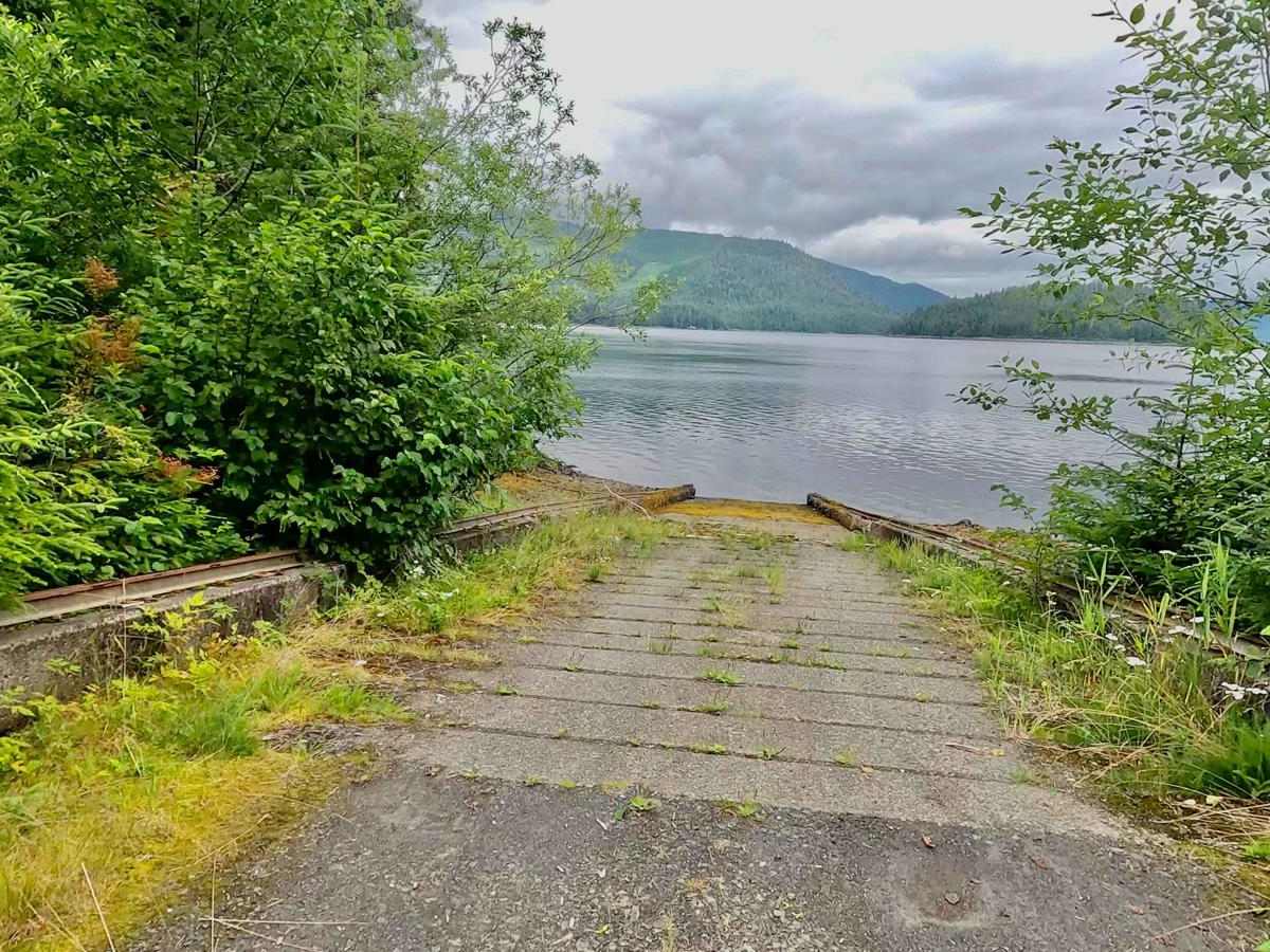
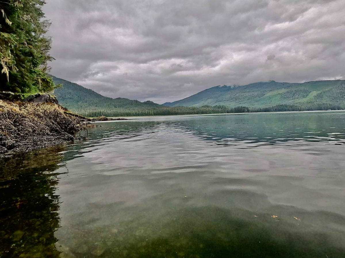
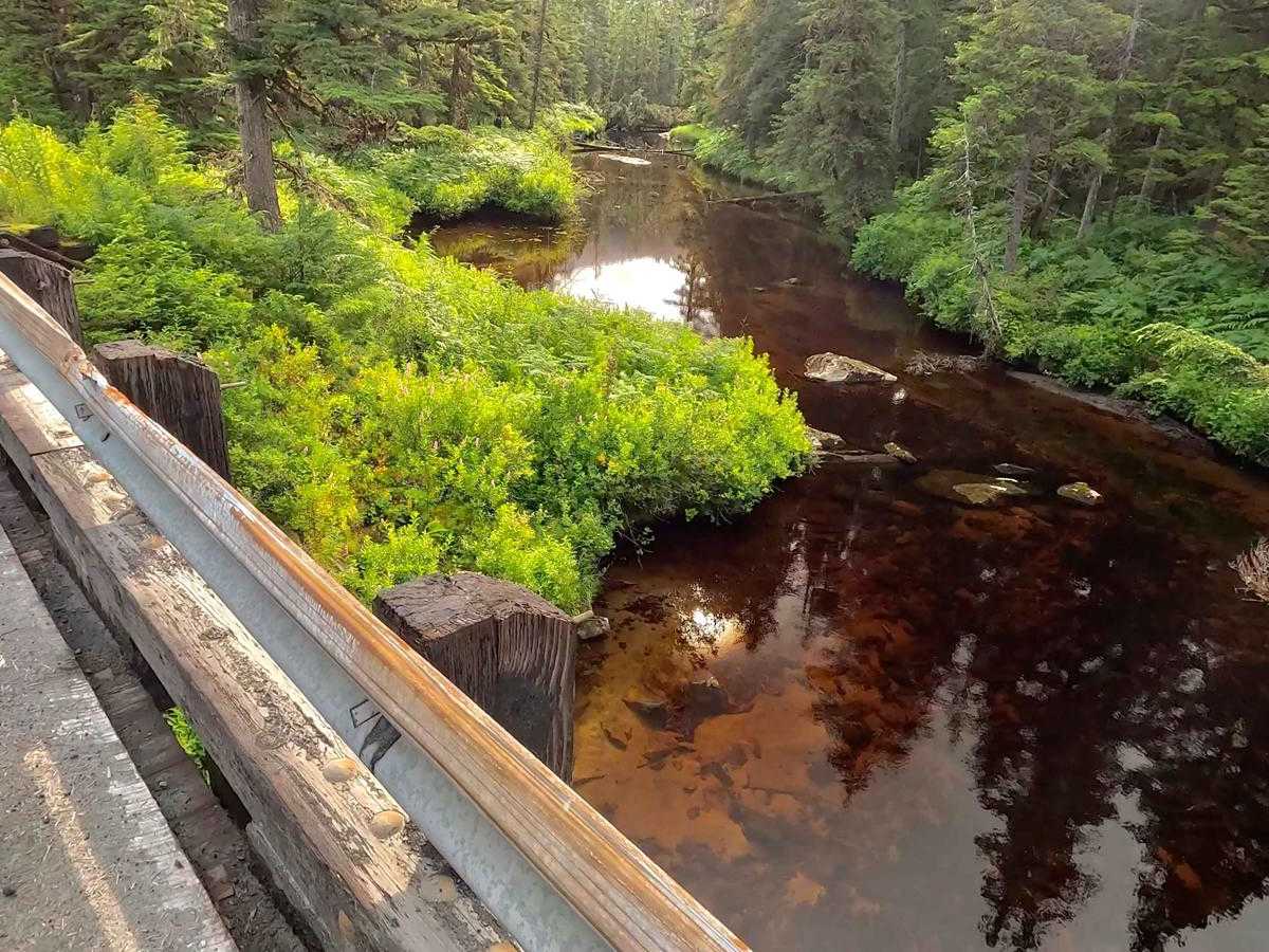
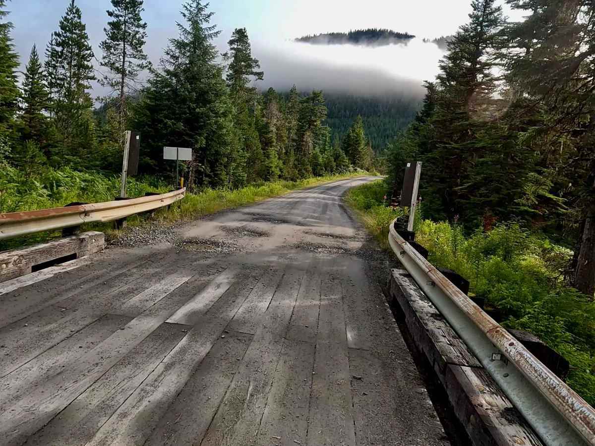
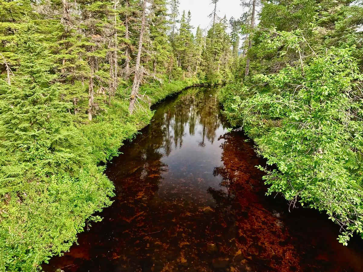
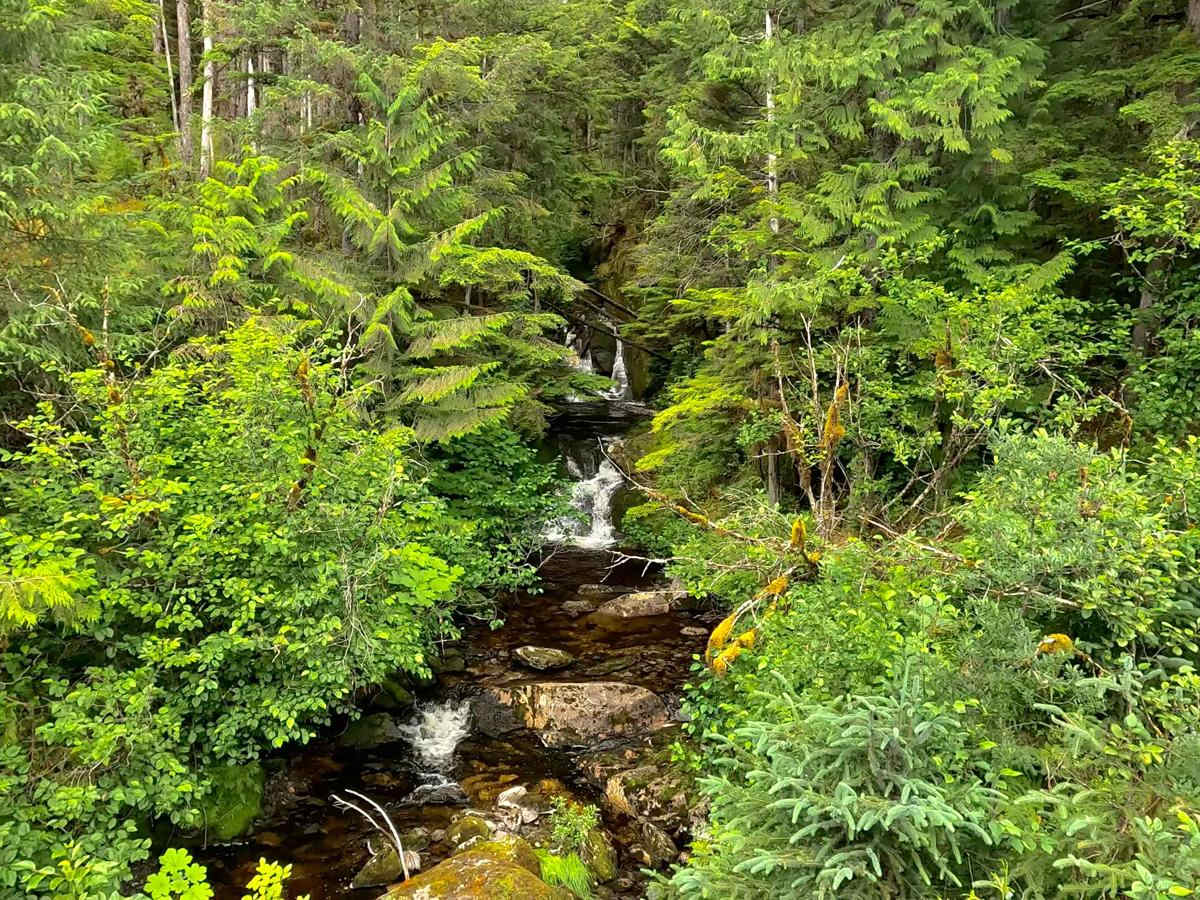
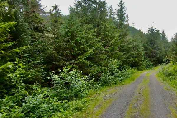
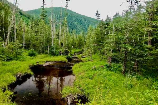
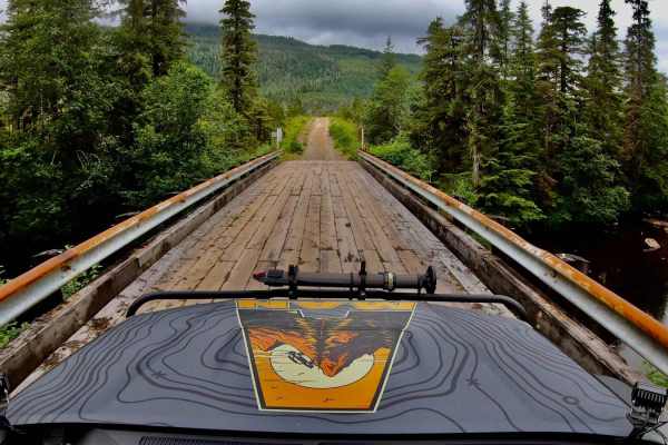
McCormick Creek 6265 starts from Zimovia Highway where it ends and turns into a gravel road with 7 connecting spur roads (Shotgun, Garnet, West Fork Cr, Barb, Salamander, Fools Inlet, Highbush, and 1 connecting road (Nemo) that goes back to Zimovia Hwy. This is the main road that connects the majority of roads on the island. This gravel road has lots of potholes and is a one-lane road with some pull-off areas so watch for oncoming traffic as well as wildlife. There are 3 wooden bridges. Two of the bridges go over Salamander Creek and Earl West Creek. McCormick Creek is a very scenic route that has hills and curves showing off muskeg and treed areas as well as views at the end of the road at the water's edge facing Madan Bay. There is a boat launch and two areas to camp and turn around at the end of the road. Most open areas on the road are pullouts for passing traffic, but there is one possible campsite at the picnic area right after Salamander Creek Bridge that also has a picnic area and outhouse. If you are new to the Island it is advisable to check in with the Forest Service and get updates on roads, wildlife, and campsites. This is a rainforest and washouts and mudslides are possible. Brown Bears,, Black Bears, Deer, Moose, and Porcupine are on this Island and can be seen along these roads. There are areas of visible trap lines so tread carefully if going off trail or down creeks as well as using bear safety. Stay on the roads and visible trails as this Island has lots of muskeg.
Difficulty
This is rated a 3 as the road has lots of potholes and possible washouts due to heavy rains and is a one-lane road with pullout areas for passing vehicles. If you are pulling an RV or trailer verify with the Forest Service which roads can accommodate your RV or trailer size as all the roads are one-lane roads with some very steep drop offs and many roads have very small or no turnarounds at the end. There are some designated spots on the Island suitable for larger RVs and Trailers.