
Off-Road Trails
Near Thorsby, Alabama
Off-Road Trails Near Thorsby, Alabama
Discover the best offroad trails near you. Browse trail maps, check difficulty ratings, and find your next adventure — whether you're looking for a quick ride or an all-day expedition.
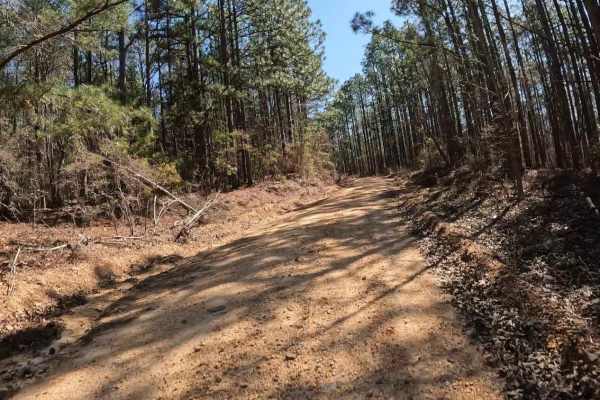
Maud Road - FS 423
FS 423 is a relatively short trail that crosses a portion of the Talladega National Forest near Centreville, Alabama. Highway 82 provides easy access from the north. Within the Talladega National Forest, camping is not truly dispersed; it must be done at a handful of designated primitive camping are...
Learn more about Maud Road - FS 423
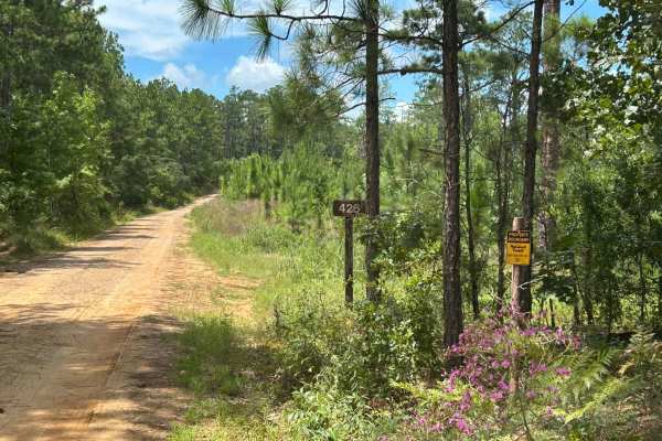
Perry Mountain Road FS426 Part 1
FS 426, locally known as Perry Mountain Road, is an easy dirt/gravel track through the Talladega National Forest. There is an old fire tower overlooking the area. There are also a few other tracks that break off of Perry Mountain Road. Some of these are seasonal. Overall, the trail is well-maintaine...
Learn more about Perry Mountain Road FS426 Part 1
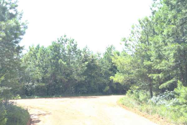
Dixie Road - FS 421
FS 421 is located in the Talladega National Forest; it is a maintained forest service road. Occasionally, it has washouts and trees down on the road. Most vehicles will make it with no problem; it does have a few sandy spots. It's a nice, quiet ride with the potential to see wildlife.
Learn more about Dixie Road - FS 421
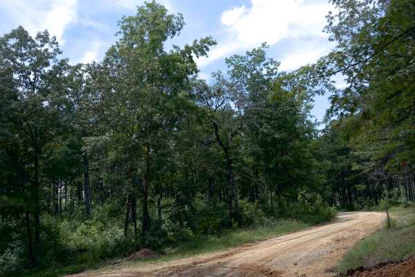
Maddox Cut - FS 418a
Maddox Cut is a relatively well-maintained forest service road in the Talladega National Forest. It does get muddy and rutted out during the wet season, but still nothing a car can't handle. Log trucks could enter road, so be cautious of them. Overall, this trail is a nice, quiet little drive throug...
Learn more about Maddox Cut - FS 418a
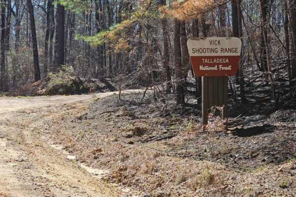
Vick Road - FS 412
FS 412 is a fairly short, well-maintained service road through the Talladega National Forest. Motor vehicle use in the Talladega National Forest is limited to street-legal “plated” vehicles. One of the interesting things about this trail is that it provides access to a public shooting range and also...
Learn more about Vick Road - FS 412
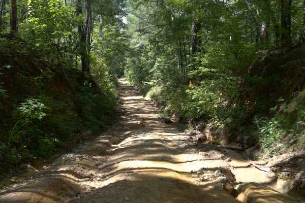
Jim Foundry Road
This trail is short, but it is a pretty fun little section of this road in the Talladega National Forest. Some spots its wide enough for two vehicles, and in others, it's only wide enough for one. This road does not appear to be maintained; I would recommend a vehicle with some ground clearance. The...
Learn more about Jim Foundry Road
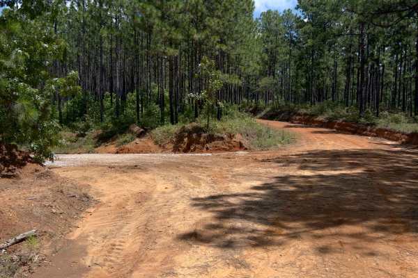
O'Neal - FS 418
Oneal, also known as FS 418 is a forest service road in the Talladega National Forest. It does get some serious washes at times. The forest service was out making repairs and installing water drainage culverts while we were there. A fun little road turning up thru the hills. Look out for washes, rut...
Learn more about O'Neal - FS 418
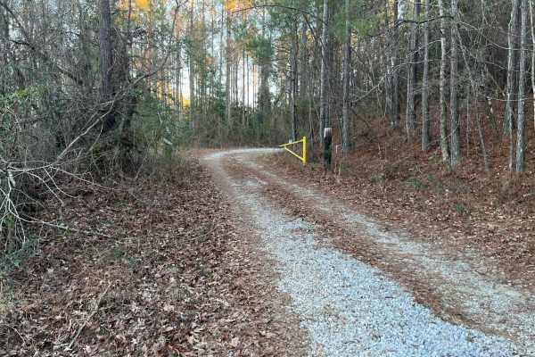
Lukes Loop
Lukes Loop is an easy, 4.3-mile off-road trail near Prattville, Alabama, offering a relaxing drive through a wildlife management area with opportunities to spot local fauna. Ideal for beginners, scenic cruisers, and stock four-wheel-drive vehicles, this route features an elevation gain of 144 feet, ...
Learn more about Lukes Loop
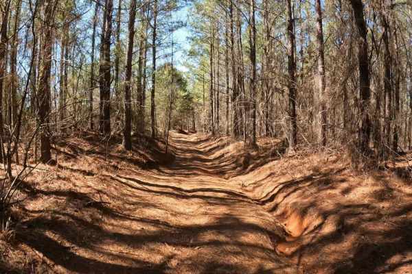
FS 742
FS 742 connects FS 743 in the southeast with County Road 44 in the northwest. Only street-legal “plated” vehicles are allowed. Travelling northwest from FS 743, it begins as a well-graded gravel road, which gently runs through a forest of small pines mixed with a few small hardwoods. Things start of...
Learn more about FS 742
USFS #724
USFS #724 is an engaging 7.7-mile point-to-point trail in the Oakmulgee District of the Talladega National Forest, ideal for drivers of high-clearance four-wheel-drive vehicles and SxSs looking for a scenic and moderately challenging forest run. This route features a stunning dense forest canopy, ab...
Learn more about USFS #724
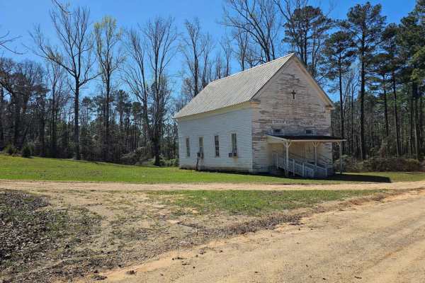
FS 700
FS 700 sits within the Talladega National Forest, with the northern two-thirds of the route passing through the Oakmulgee Wildlife Management Area (WMA). Only street-legal, "plated" vehicles are allowed on this route. The southern entry is paved but transitions to dirt upon entering the Talladega Na...
Learn more about FS 700
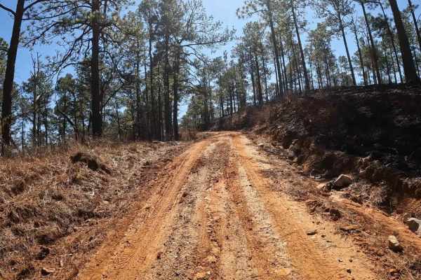
FS 723
While FS 723 is located in the Talladega National Forest, it’s also situated within the Oakmulgee Wildlife Management Area (WMA). During hunting season, be aware of and respectful toward hunters who will likely be in the area. Additionally, only road-legal, “plated” vehicles are allowed in this area...
Learn more about FS 723
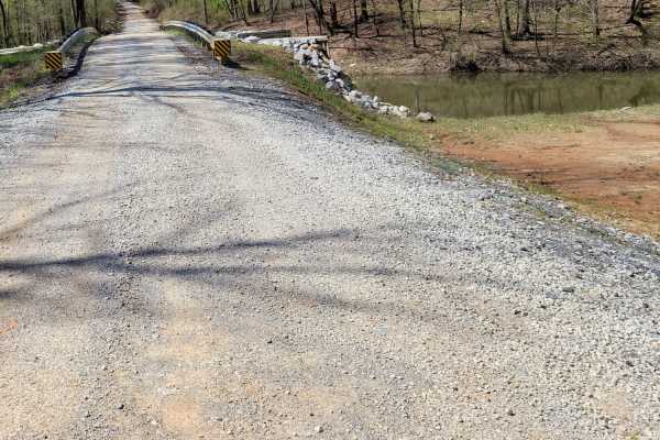
USFSR #601 Wiregrass
USFSR #601 Wiregrass begins at the South end on AL 148 just outside of Sylacauga. It is a winding gravel road with shallow mud holes scattered throughout from the various creeks that overflow onto the road, such as Tallaseehatchee Creek and Bulls Creek. It offers a few side trails that will take you...
Learn more about USFSR #601 Wiregrass
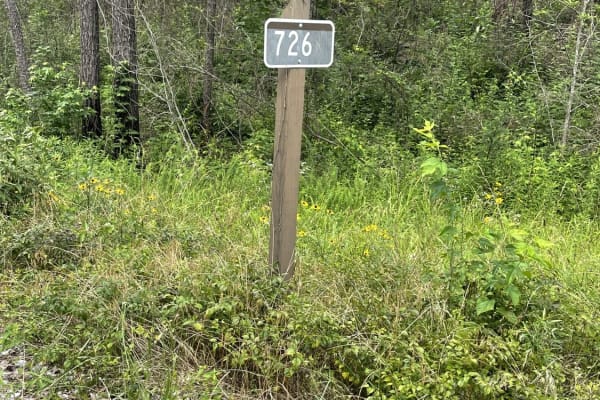
USFS 726 - Phalen Spur
USFS 726, also known as Phalen Spur, is an easy, scenic route designed for beginners, families, and overlanders looking for a relaxed journey through the dense woodlands of Alabama. Serving as a crucial north-south corridor through the heart of the Oakmulgee Wildlife Management Area within the Talla...
Learn more about USFS 726 - Phalen Spur
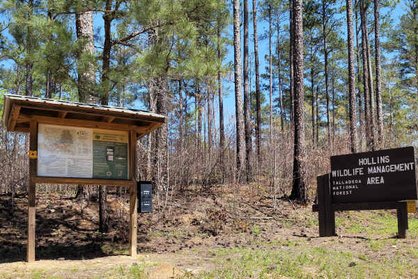
USFSR #616 Rocky Mount
USFSR #616 Rocky Mount is an easy, scenic 5.6-mile offroad route through the heart of the Hollins Wildlife Management Area, making it ideal for beginners, hunters, and campers seeking a tranquil forest retreat. Branching off from USFSR #607 Bulls Gap near Highway 148, this well-maintained dirt and g...
Learn more about USFSR #616 Rocky Mount
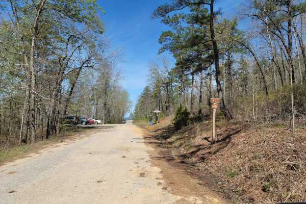
USFSR #607 Bulls Gap
USFSR #607 Bulls Gap Trail head is a popular trail for birdwatchers, bicyclist, hikers and other nature lovers. Be sure to exercise caution and share the road! This trail offers scenic views and easy riding. Creeks and streams flow abundantly from water rushing down Horn Mountain, which is located i...
Learn more about USFSR #607 Bulls Gap
USFSR #600-1
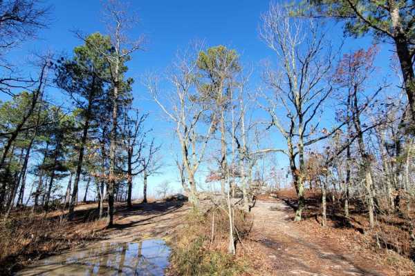
600-1 and its partner trail 600-2 are the most common trails in Alabama that are on public lands. People come from all over to see the scenic views and to see what the trail is all about. The trail begins just outside the small town of Sylacauga, nestled in the hills of the Millerville community. It...
Learn more about USFSR #600-1
Davenport (687)
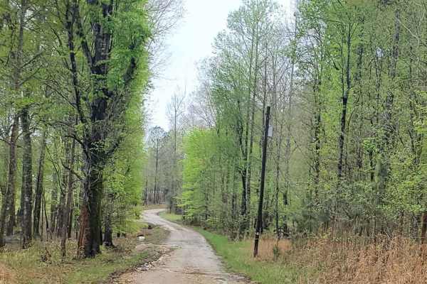
Davenport road (687) is a well-maintained road that crosses the southern portion of the Talladega National Forest. Throughout this route, you will encounter seasonal scenery as well as other roads that are available for exploring. Vehicles with lower clearance should not have any issues passing thro...
Learn more about Davenport (687)
Bishop Road - FS 707
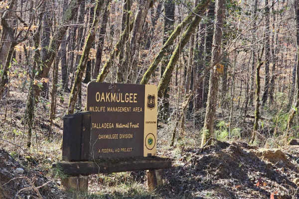
FS-707 / Bishop Road is in the Talladega National Forest. It also forms part of the northern edge of the Oakmulgee Wildlife Management Area (WMA). During hunting season, be aware of and respectful toward hunters who will likely be in the area. Additionally, only road-legal, “plated” vehicles are all...
Learn more about Bishop Road - FS 707
Reservoir Road (621c)
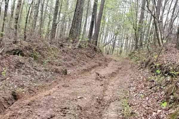
This route is not well maintained and open seasonally. Under wet conditions, drivers could encounter slick and muddy conditions. High-clearance vehicles with four-wheel drive and good tires could be required for portions of this route. Under dry conditions, one could encounter some difficulty maneuv...
Learn more about Reservoir Road (621c)
ATV trails near Thorsby, Alabama
Explore ATV-friendly trails near you. These trails are accessible for vehicles up to 50 inches wide, perfect for ATVs and smaller off-road machines.
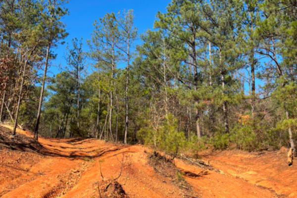
31
Trail 31 has a lot of rock obstacles going up and down the mountain. It starts from the top of Clay Hill and goes about a mile to connect you to trail 24. Most of the areas that have any major obstacles have some bypasses to go around. There are some deep ruts in some areas on this trail. Vehicles o...
Learn more about 31
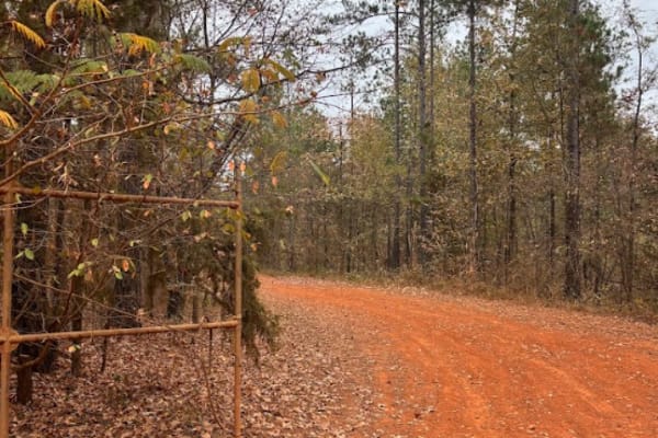
18
This is a main road that goes around the whole outside of the grid. This trail connects you to all of the trails in the park. There is no difficulty on this route, but you do need to follow the speed limit posted, 15 miles per hour, because of safety and wild animals. There are a lot of intersection...
Learn more about 18
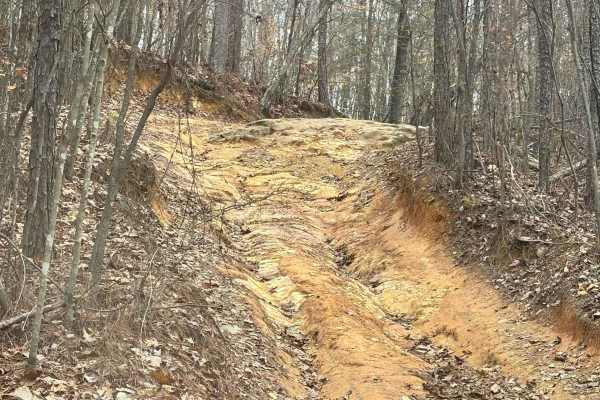
31A
Trail 31 is a moderatly easy trail with one exception of a pretty decent hill climb with some rocks at the top. The trail is set wide throughout the whole way, with no tight squeezes. It is a bypass trail for a section of Trail 31. It also intersects with Trail 23.
Learn more about 31A
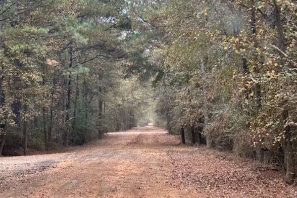
20 Main
This trail is mostly gravel and dirt road. The speed limit is 15 mph and is regulated by park security. This trail will take you from the main office to the left and right side of the grid. You will take this route to get to any of the rental bunkers, or campsites.
Learn more about 20 Main
UTV/side-by-side trails near Thorsby, Alabama
Find UTV and side-by-side trails near you. These trails accommodate vehicles up to 60 inches wide, ideal for UTVs, side-by-sides, and wider off-road rigs.
31
Trail 31 has a lot of rock obstacles going up and down the mountain. It starts from the top of Clay Hill and goes about a mile to connect you to trail 24. Most of the areas that have any major obstacles have some bypasses to go around. There are some deep ruts in some areas on this trail. Vehicles o...
Learn more about 31
18
This is a main road that goes around the whole outside of the grid. This trail connects you to all of the trails in the park. There is no difficulty on this route, but you do need to follow the speed limit posted, 15 miles per hour, because of safety and wild animals. There are a lot of intersection...
Learn more about 18
31A
Trail 31 is a moderatly easy trail with one exception of a pretty decent hill climb with some rocks at the top. The trail is set wide throughout the whole way, with no tight squeezes. It is a bypass trail for a section of Trail 31. It also intersects with Trail 23.
Learn more about 31A
20 Main
This trail is mostly gravel and dirt road. The speed limit is 15 mph and is regulated by park security. This trail will take you from the main office to the left and right side of the grid. You will take this route to get to any of the rental bunkers, or campsites.
Learn more about 20 Main
The onX Offroad Difference
onX Offroad combines trail photos, descriptions, difficulty ratings, width restrictions, seasonality, and more in a user-friendly interface. Available on all devices, with offline access and full compatibility with CarPlay and Android Auto. Discover what you're missing today!
Open Trail Map