
Off-Road Trails
Near Stephenville, Texas
Off-Road Trails Near Stephenville, Texas
Discover the best offroad trails near you. Browse trail maps, check difficulty ratings, and find your next adventure — whether you're looking for a quick ride or an all-day expedition.
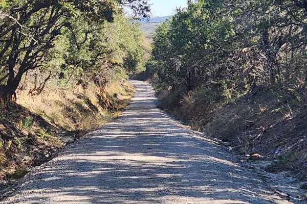
Tudor Loop / 107
This trail consists of narrow county roads along the Erath and Eastland county line that cruise along exotic game ranches, old ranches from the 1880s, and dispersed cemeteries from the settling of the area. The road surface ranges from caliche to crushed sandstone & granite to hard-packed gravel and...
Learn more about Tudor Loop / 107
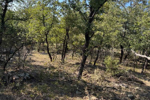
Pitchfork
This trail is in the back northeast corner of the property and cuts across from the north to the south fence lines. There are lots of rocks and wooded areas. There is a nice open area in the middle that would be a nice spot to set up a picnic or hang out spot with friends.
Learn more about Pitchfork
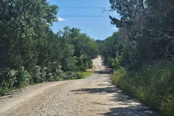
Bosque 1035
Typical central Texas dirt county road that only gets maintenance after rain washes it out. This is a nice side diversion to enjoy a few miles off of pavement while enjoying an old dirt road between old ranches. Drivers need to be aware of ranch and farm traffic on this tight road with sharp ditches...
Learn more about Bosque 1035
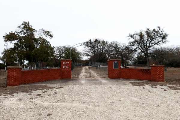
Priddy Windmills
Priddy Windmills is an easy, scenic dirt and gravel route perfect for beginners, families, and any vehicle looking for a relaxing cruise through the Texas countryside. Stretching approximately 12.6 miles through the Flat Top wind farm between Goldthwaite and Priddy, this trail offers drivers up-clos...
Learn more about Priddy Windmills
Texas Traverse (Leg 2)
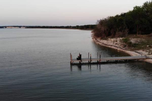
As you depart the National Forest systems of Texas, you start coming into Texas farmland. You will cross the Trinity River a couple of times while paralleling it for miles. Coal mining is still prevalent in this region as a fuel for power plants. You will find a variety of camping from State Park fu...
Learn more about Texas Traverse (Leg 2)
Goldthwaite Gallop
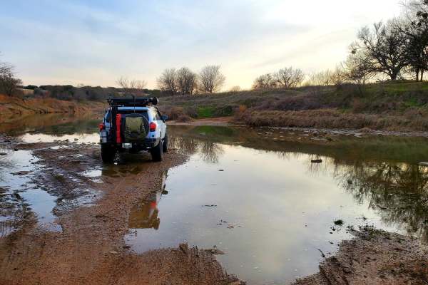
Beginning just south of the town of Goldthwaite, the trail begins at Ranch Road 3023 off of Hwy 16. A few miles of paved road abruptly ends and becomes a dirt road leading south towards Shaw Bend of the Colorado River. The long sweeping straightaways of the county road end after turning on to County...
Learn more about Goldthwaite Gallop
Regency Bridge (CR 433)
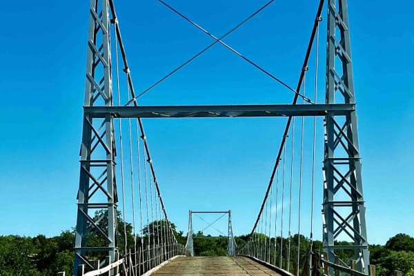
This is an easy gravel road that runs from FM 574 to FM 500. It's close to Goldthwaite, Brownwood, and San Saba, Texas. What makes the trail worth driving is the Regency Bridge which crosses the Colorado River. It is a single-lane suspension bridge with a wooden road deck, which was built in 1939 an...
Learn more about Regency Bridge (CR 433)
County Road 144/146
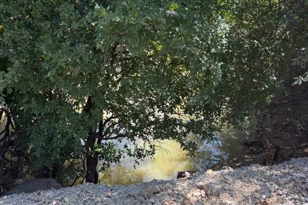
This route is a fun, easy country backroads drive that does not require 4WD. The roads are dirt/gravel with some high vegetation on the sides, water crossings, and some twists and turns through the Texas Hill Country. The road is a county road that winds through the area outside San Saba, around a r...
Learn more about County Road 144/146
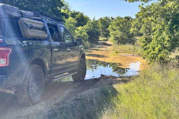
Lake Bryson Road
Lake Bryson Road is a public road giving access to Lake Bryson. The dirt starts as soon as you turn off the pavement in the town of Bryson. Lake Bryson Road is hardly maintained. You will experience small rocks sticking up through the caliche road base. You will quickly run into the gatekeeper obsta...
Learn more about Lake Bryson Road
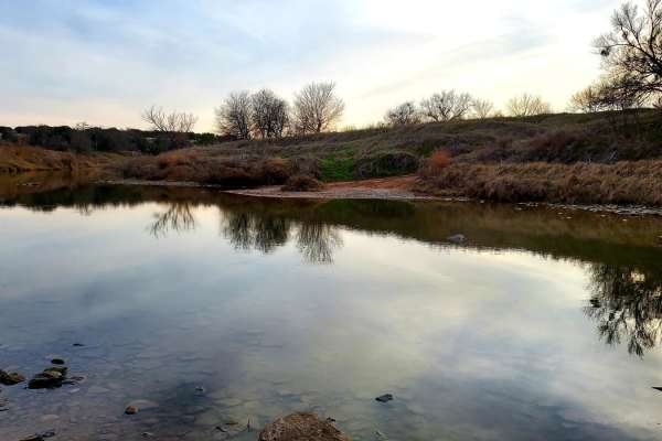
Double Ford
Step off the beaten path and explore the area flanking the Colorado River between San Saba and Goldthwaite. Starting near Hwy 190 in Lometa, this trail begins with a short dirt stretch and then transitions to a few miles of paved county road. Once the road passes the train tracks, it becomes dirt wi...
Learn more about Double Ford
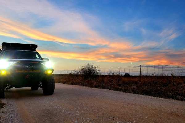
Saba Stroll
Cutting from Hwy 16 to Hwy 190 around the town of San Saba and over the San Saba River, this quick drive offers beautiful views of the Texas countryside. A long straight stretch through grazing fields and under power lines leads to a grave yard flanked by a large power station, offering a stark cont...
Learn more about Saba Stroll
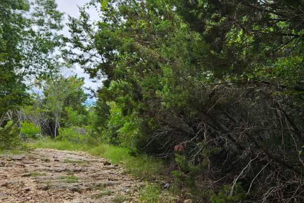
Dee Boot Draw
A narrow single track featuring a short climb with small ledges and tight turns that challenge driver control and line choice. The dirt and gravel surface adds traction variability, especially on elevation changes. The trail ends in a dead-end, so groups should plan for enough space to safely execut...
Learn more about Dee Boot Draw
Black Lantern Run
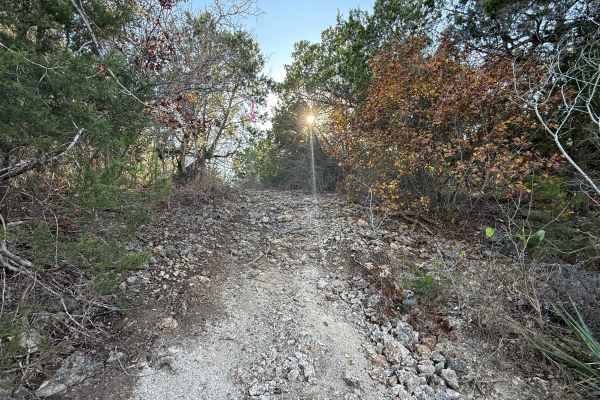
**Dirt Bike Only** This is a tight single-track weaving through dense brush and low-hanging limbs. The rider will encounter loose rock, shallow ruts, and short punchy climbs followed by quick descents. Expect slick mud sections after rain and narrow creek crossings that require precise throttle cont...
Learn more about Black Lantern Run
Big Zwey
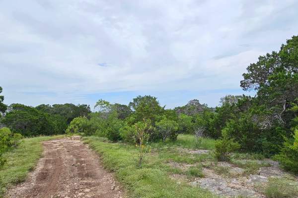
This is a singletrack that runs through a mix of brush and some mature trees. The surface is mostly compact dirt, with occasional rocky patches that offer mild technical challenges. As a dead-end trail, there are no connecting points, so drivers should plan their turnaround before reaching the end. ...
Learn more about Big Zwey
Elmira's End
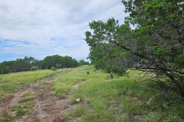
This trail runs along the property fence in several sections, offering a smooth ride with occasional bumps and small elevation changes. After rainfall, certain low-lying areas can hold water, making parts of the trail muddy and rutted, so extra caution is advised when navigating these sections. The ...
Learn more about Elmira's End
Luke's Spur
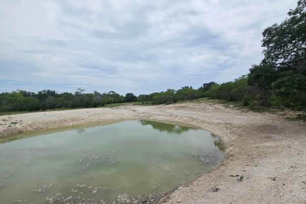
This short single track trail meanders beside a small water reservoir, passing through vibrant sections of seasonal wildflowers. The path offers a peaceful ride with gentle turns and mostly smooth terrain, perfect for drivers of all skill levels. Nearby, several quick offshoots branch off the main t...
Learn more about Luke's Spur

DOMO Hill Loop
Nestled in the back corner of the park, Domo Hill is a must-do for those seeking a true challenge. DOMO Hill is the main feature of the DOMO Hill Loop Trail. This single-track trail offers a steep climb up Domo Hill, with significant elevation changes of approximately 31 and 27 degrees depending on ...
Learn more about DOMO Hill Loop

Jake Spoon Trail
A dirt bike-friendly track with a mix of rocky sections and dirt paths, perfect for those who enjoy varied terrain. The trail features small rolling hills and gentle climbs that provide a smooth ride while offering enough elevation change to keep things interesting. With wide turns that suit two-whe...
Learn more about Jake Spoon Trail
Old Russell's Trail
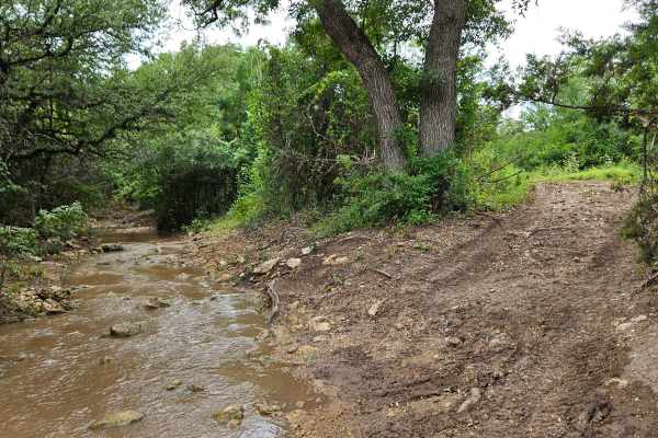
This trail follows the course of Deep Creek for awhile, offering drivers stunning views of the flowing water, native vegetation, and seasonal wildflowers that line the path. The trail runs all the way to the Comanche Moon, making it both scenic and peaceful. The surface is primarily hard-packed dirt...
Learn more about Old Russell's Trail
Buffalo Gap Run
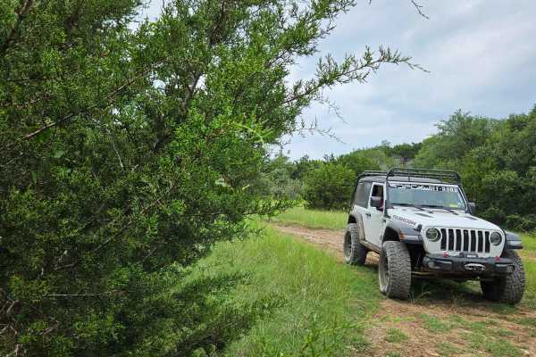
A low-impact track that cuts across rocky clay terrain and grazes open fields, offering a relaxed, flowing ride with very little technical demand. The trail is short and smooth, making it perfect for a laid-back outing. As you get closer to Deep Creek, the trail becomes shaded in spots, with greener...
Learn more about Buffalo Gap Run
ATV trails near Stephenville, Texas
Explore ATV-friendly trails near you. These trails are accessible for vehicles up to 50 inches wide, perfect for ATVs and smaller off-road machines.
Pitchfork
This trail is in the back northeast corner of the property and cuts across from the north to the south fence lines. There are lots of rocks and wooded areas. There is a nice open area in the middle that would be a nice spot to set up a picnic or hang out spot with friends.
Learn more about Pitchfork
Lake Bryson Road
Lake Bryson Road is a public road giving access to Lake Bryson. The dirt starts as soon as you turn off the pavement in the town of Bryson. Lake Bryson Road is hardly maintained. You will experience small rocks sticking up through the caliche road base. You will quickly run into the gatekeeper obsta...
Learn more about Lake Bryson Road
Dee Boot Draw
A narrow single track featuring a short climb with small ledges and tight turns that challenge driver control and line choice. The dirt and gravel surface adds traction variability, especially on elevation changes. The trail ends in a dead-end, so groups should plan for enough space to safely execut...
Learn more about Dee Boot Draw
Big Zwey
This is a singletrack that runs through a mix of brush and some mature trees. The surface is mostly compact dirt, with occasional rocky patches that offer mild technical challenges. As a dead-end trail, there are no connecting points, so drivers should plan their turnaround before reaching the end. ...
Learn more about Big Zwey
UTV/side-by-side trails near Stephenville, Texas
Find UTV and side-by-side trails near you. These trails accommodate vehicles up to 60 inches wide, ideal for UTVs, side-by-sides, and wider off-road rigs.
Pitchfork
This trail is in the back northeast corner of the property and cuts across from the north to the south fence lines. There are lots of rocks and wooded areas. There is a nice open area in the middle that would be a nice spot to set up a picnic or hang out spot with friends.
Learn more about Pitchfork
Lake Bryson Road
Lake Bryson Road is a public road giving access to Lake Bryson. The dirt starts as soon as you turn off the pavement in the town of Bryson. Lake Bryson Road is hardly maintained. You will experience small rocks sticking up through the caliche road base. You will quickly run into the gatekeeper obsta...
Learn more about Lake Bryson Road
Dee Boot Draw
A narrow single track featuring a short climb with small ledges and tight turns that challenge driver control and line choice. The dirt and gravel surface adds traction variability, especially on elevation changes. The trail ends in a dead-end, so groups should plan for enough space to safely execut...
Learn more about Dee Boot Draw
Big Zwey
This is a singletrack that runs through a mix of brush and some mature trees. The surface is mostly compact dirt, with occasional rocky patches that offer mild technical challenges. As a dead-end trail, there are no connecting points, so drivers should plan their turnaround before reaching the end. ...
Learn more about Big Zwey
The onX Offroad Difference
onX Offroad combines trail photos, descriptions, difficulty ratings, width restrictions, seasonality, and more in a user-friendly interface. Available on all devices, with offline access and full compatibility with CarPlay and Android Auto. Discover what you're missing today!
Open Trail Map