
Off-Road Trails
Near Elizabethtown, Kentucky
Off-Road Trails Near Elizabethtown, Kentucky
Discover the best offroad trails near you. Browse trail maps, check difficulty ratings, and find your next adventure — whether you're looking for a quick ride or an all-day expedition.
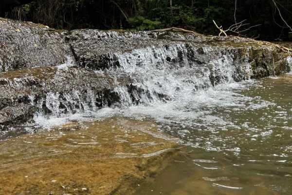
Clear Creek
Clear Creek is a scenic out-and-back trail that follows a rocky creek bed. It is somewhat stock vehicle-friendly with correct line choices, but there are some slick rock ledges and harder lines if you want more adventure. Be mindful of pooled water areas where flow is not as apparent; this is a sign...
Learn more about Clear Creek
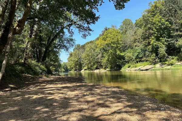
River Beach Access
The trail follows along the edge of a field before dropping down by the water's edge. You may encounter a few small mud holes on your way. The beach is rocky and big enough to fit several vehicles. There are optional steep climbs to return to the main trail if you want a challenge.
Learn more about River Beach Access
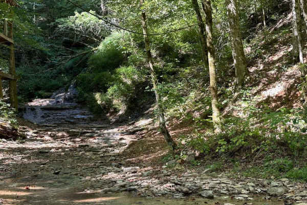
Waterfall Trail
This section of the trail takes you back to a scenic waterfall. The trail winds around a ridge with some tight turns but is not technical in nature. The waterfall is a cascade type that you can climb and is a great place to take photos or eat a light lunch.
Learn more about Waterfall Trail
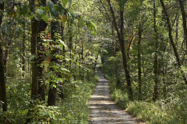
Ugly Creek - Mammoth Cave NP
Ugly Creek Road is a 3.5-mile one-way trail that is located within Mammoth Cave National Park. The trail begins off Green River Ferry Road (1352) and ends on Dennison Ferry Road. The trail can be run in either direction; however, there is a possible impassable water crossing closer to the Green Rive...
Learn more about Ugly Creek - Mammoth Cave NP
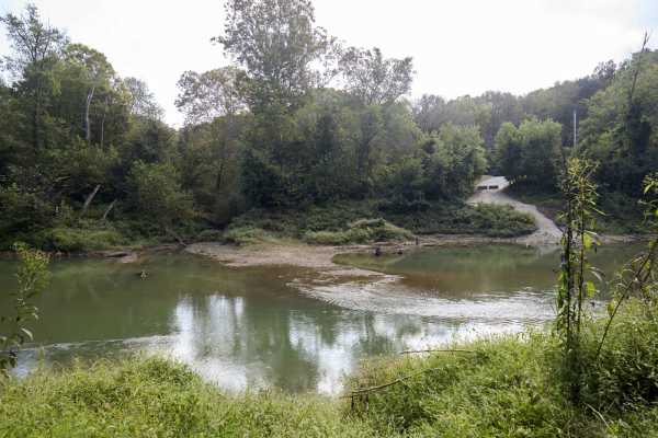
Houchin Ferry - Mammoth Cave NP
Houchin Ferry Road is a 5-mile out-and-back trail that is located within Mammoth Cave National Park. The trail begins off Ollie Road and ends along the Green River. There is no longer a possible way to cross the river at the end of the trail so you must turn back. Along the trail are a few parking a...
Learn more about Houchin Ferry - Mammoth Cave NP
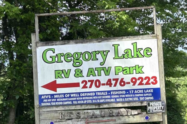
GL Primary Trail
This is Gergory Lake RV and ATV Park's primary trail. This trail is accessed from the Primary Trailhead in the park. The park requires riders to register at the front desk, sign a waiver, and pay a small fee. The trail is well-defined and maintained. This trail is also the route to access the park's...
Learn more about GL Primary Trail
GL Powerline Trail
The Powerline Trail is Gregory Lake RV and ATV Park's southeastern boundary. The park requires riders to register at the front desk, sign a waiver, and pay a small fee. The trail is accessed from one of two primary trailheads in the park. The trail is well-defined. It is mostly dirt with some mud in...
Learn more about GL Powerline Trail
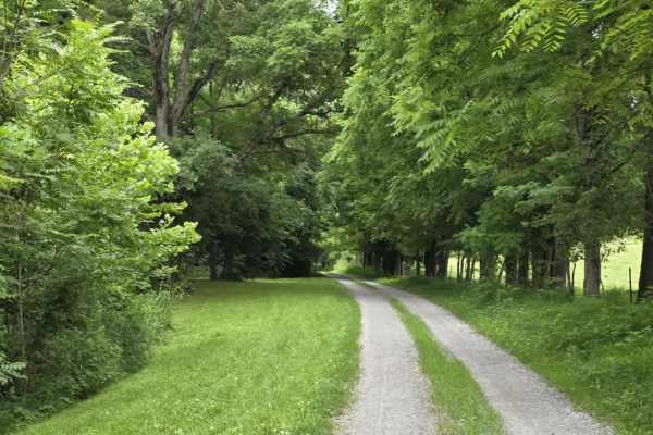
Wix Hollow Road - Macon County Tour
Wix Hollow Road is a scenic and slightly more dynamic segment of the Macon County Tour that briefly crosses into the state of Kentucky. The route features a mixed surface of dirt and gravel, offering a relaxed drive with a bit more character than a standard, maintained county road. The surrounding l...
Learn more about Wix Hollow Road - Macon County Tour
Gregory Lake West Boundary
This trail is Gregory Lake RV and ATV Park's western boundary. The park requires riders to register at the front desk, sign a waiver, and pay a small fee. The trail is accessed from one of the 2 primary trailheads near the park cabins and public pavilion. The trail is very well-defined, with numerou...
Learn more about Gregory Lake West Boundary
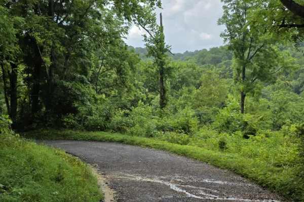
Beech Grove Road - Macon County Tour
Beech Grove Road is a short gravel segment of the Macon County Tour that offers mild elevation changes and a quiet rural setting. The entrance can be easy to miss, so drivers should watch carefully for the turnoff when navigating the route. Once on the road, the surface consists of gravel that has e...
Learn more about Beech Grove Road - Macon County Tour
ATV trails near Elizabethtown, Kentucky
Explore ATV-friendly trails near you. These trails are accessible for vehicles up to 50 inches wide, perfect for ATVs and smaller off-road machines.
River Beach Access
The trail follows along the edge of a field before dropping down by the water's edge. You may encounter a few small mud holes on your way. The beach is rocky and big enough to fit several vehicles. There are optional steep climbs to return to the main trail if you want a challenge.
Learn more about River Beach Access
Waterfall Trail
This section of the trail takes you back to a scenic waterfall. The trail winds around a ridge with some tight turns but is not technical in nature. The waterfall is a cascade type that you can climb and is a great place to take photos or eat a light lunch.
Learn more about Waterfall Trail
Ugly Creek - Mammoth Cave NP
Ugly Creek Road is a 3.5-mile one-way trail that is located within Mammoth Cave National Park. The trail begins off Green River Ferry Road (1352) and ends on Dennison Ferry Road. The trail can be run in either direction; however, there is a possible impassable water crossing closer to the Green Rive...
Learn more about Ugly Creek - Mammoth Cave NP
Houchin Ferry - Mammoth Cave NP
Houchin Ferry Road is a 5-mile out-and-back trail that is located within Mammoth Cave National Park. The trail begins off Ollie Road and ends along the Green River. There is no longer a possible way to cross the river at the end of the trail so you must turn back. Along the trail are a few parking a...
Learn more about Houchin Ferry - Mammoth Cave NP
UTV/side-by-side trails near Elizabethtown, Kentucky
Find UTV and side-by-side trails near you. These trails accommodate vehicles up to 60 inches wide, ideal for UTVs, side-by-sides, and wider off-road rigs.
River Beach Access
The trail follows along the edge of a field before dropping down by the water's edge. You may encounter a few small mud holes on your way. The beach is rocky and big enough to fit several vehicles. There are optional steep climbs to return to the main trail if you want a challenge.
Learn more about River Beach Access
Waterfall Trail
This section of the trail takes you back to a scenic waterfall. The trail winds around a ridge with some tight turns but is not technical in nature. The waterfall is a cascade type that you can climb and is a great place to take photos or eat a light lunch.
Learn more about Waterfall Trail
Ugly Creek - Mammoth Cave NP
Ugly Creek Road is a 3.5-mile one-way trail that is located within Mammoth Cave National Park. The trail begins off Green River Ferry Road (1352) and ends on Dennison Ferry Road. The trail can be run in either direction; however, there is a possible impassable water crossing closer to the Green Rive...
Learn more about Ugly Creek - Mammoth Cave NP
Houchin Ferry - Mammoth Cave NP
Houchin Ferry Road is a 5-mile out-and-back trail that is located within Mammoth Cave National Park. The trail begins off Ollie Road and ends along the Green River. There is no longer a possible way to cross the river at the end of the trail so you must turn back. Along the trail are a few parking a...
Learn more about Houchin Ferry - Mammoth Cave NP
The onX Offroad Difference
onX Offroad combines trail photos, descriptions, difficulty ratings, width restrictions, seasonality, and more in a user-friendly interface. Available on all devices, with offline access and full compatibility with CarPlay and Android Auto. Discover what you're missing today!
Open Trail Map