Trail Overview
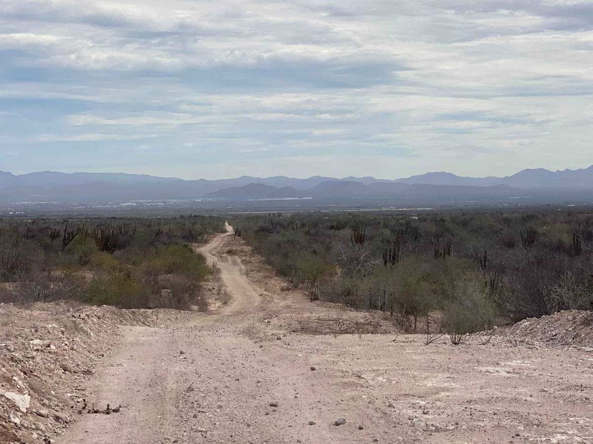
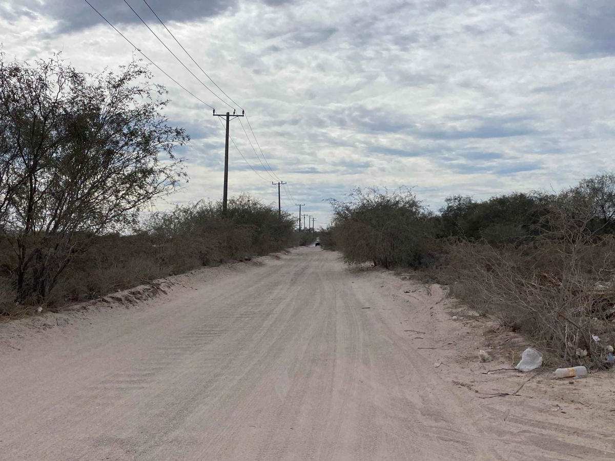
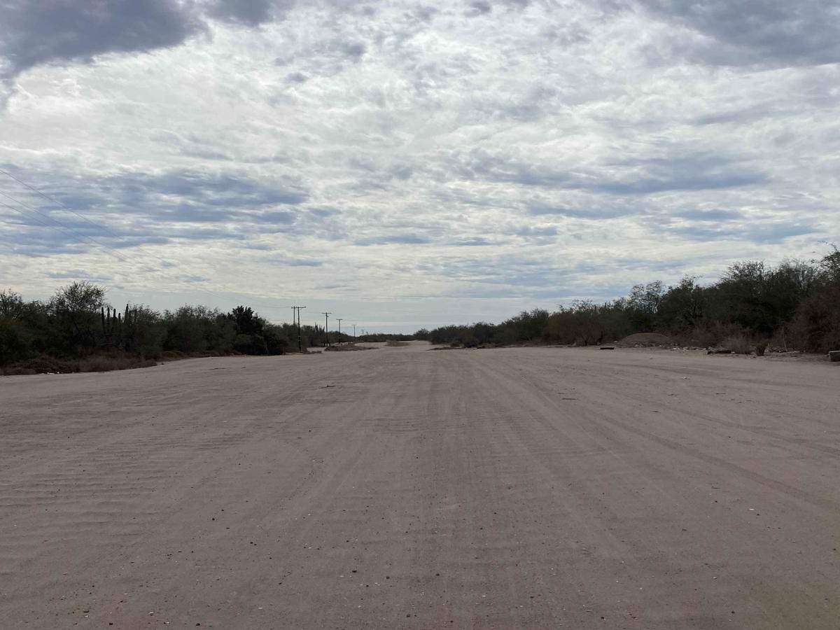
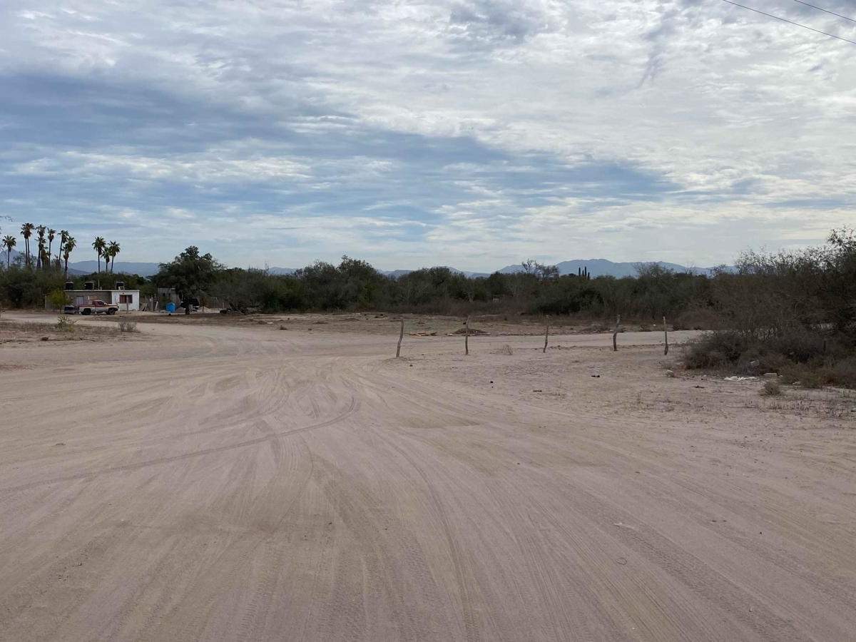
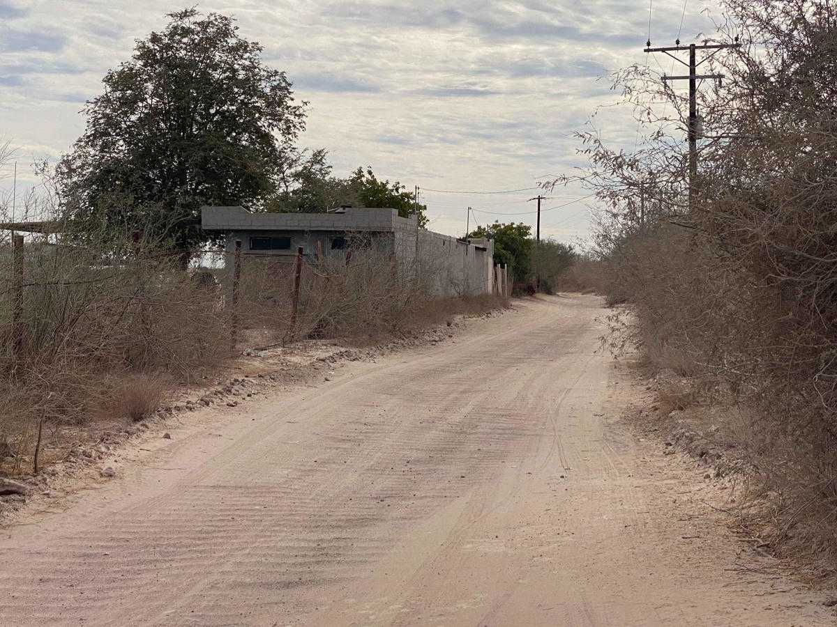
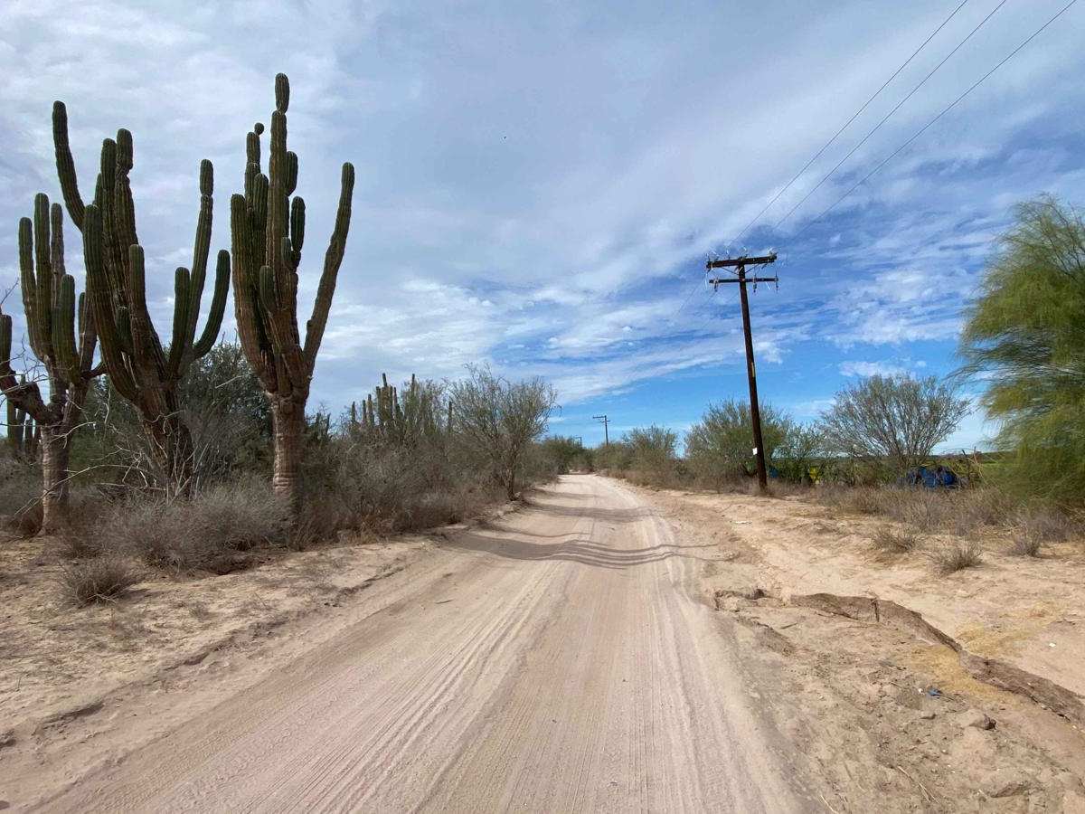
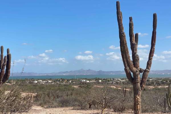
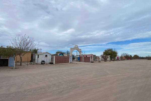
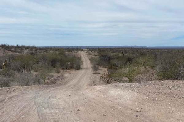
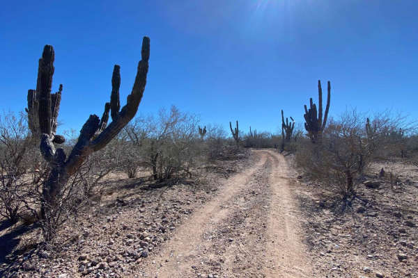
This route begins off Highway 1 as the last continuous road west of the airport, providing access to the vast, undeveloped expanse south of El Centenario. It starts as a well-maintained neighborhood road but quickly transitions into a heavily corrugated section, which widens to offer smoother paths. As the road winds through remote ranches and farms, it becomes progressively less maintained, though it remains passable for 2WD vehicles. Along the way, you'll encounter sections of El Cardon forest, winding paths, and signs of future development. The area also features an extensive network of side trails suitable for mountain biking, motorcycles, ATVs, and side-by-sides, offering plenty to explore. At the trail's end, a four-way intersection presents options for further exploration, but it's crucial to assess the difficulty of each route if you plan to continue rather than retrace your steps.