Ruta Arrancones

Total Miles5.5
Technical Rating
1Easy
Best TimeSpring, Summer, Fall, Winter
Trail TypeFull-Width Road
Accessible By

Open Trail Map

Trail Overview

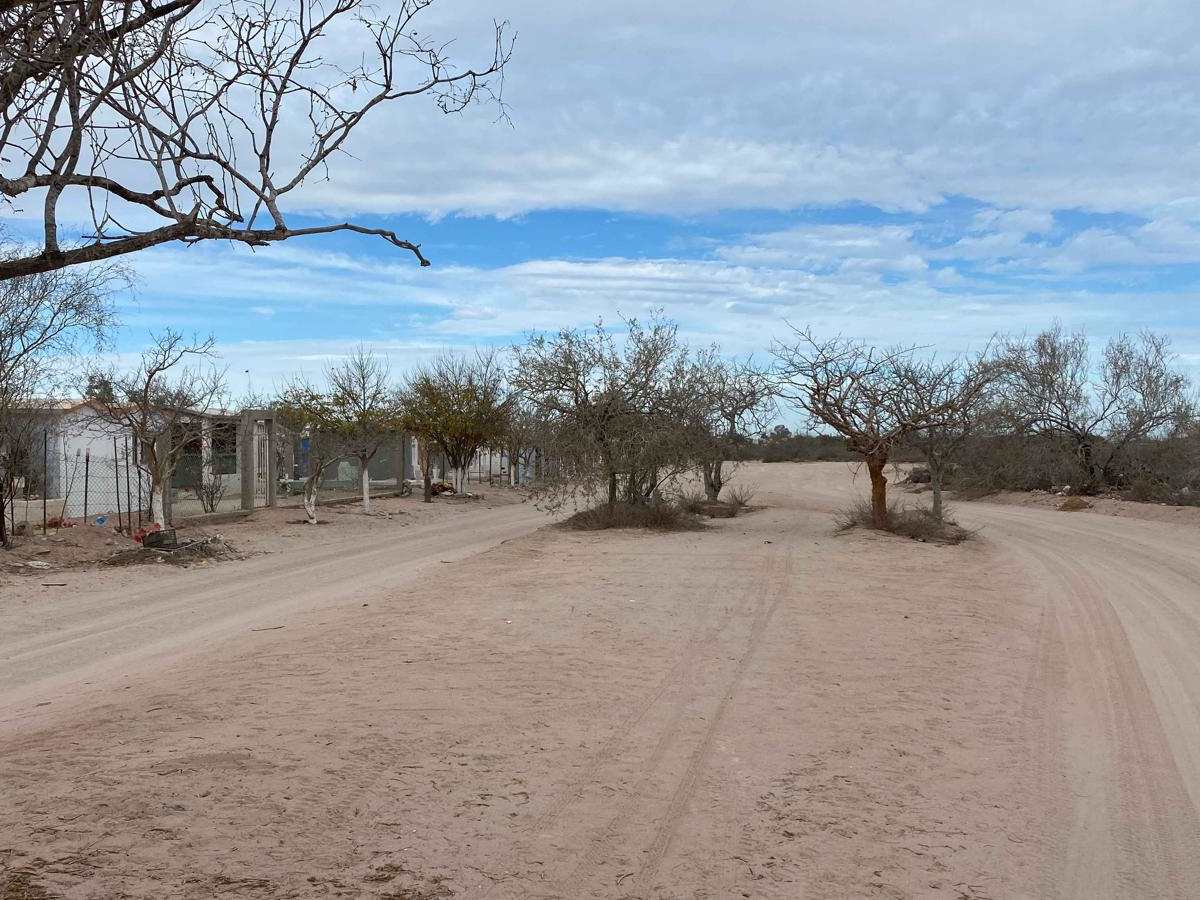
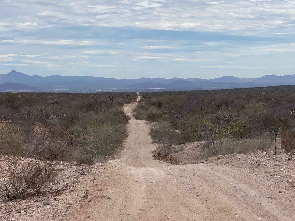
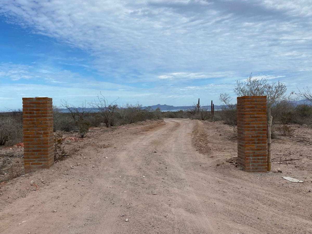
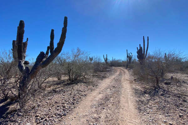
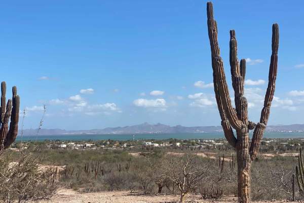
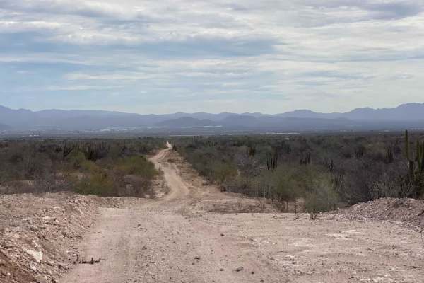
This trail begins in a suburban neighborhood and passes through the sprawling municipal cemetery of El Centenario. From there, it winds through picturesque ranchlands, skirts the edge of a local drag racing strip, and gradually ascends into more remote and rugged terrain. You'll notice signs of impending development along the way, hinting that this expansive area may not remain an off-road haven for long. The route intersects with several mountain bike trails and becomes progressively less maintained, though it remains manageable for a 2WD vehicle. Starting at the trail's high point offers stunning ocean views as you descend towards La Paz, with the landscape revealing its beauty in stages. The journey culminates at a four-way intersection, where you can turn right to connect with Highway 1 near El Centenario or leave for a northbound route toward Constitucion. The route to the left presents significantly more significant challenges, requiring advanced driving skills and a more capable vehicle.

Photos of Ruta Arrancones

Difficulty

This route is easily navigable for any 2WD vehicle with adequate ground clearance, provided the conditions are dry.

Technical Rating

1

Ruta Arrancones Trail can be accessed by the following ride types:

  • Single Track
  • 50 Inch
  • 60 Inch
  • High Clearance
  • Full Width

Ruta Arrancones Map

The onX Offroad Difference

onX Offroad combines trail photos, descriptions, difficulty ratings, width restrictions, seasonality, and more in a user-friendly interface. Available on all devices, with offline access and full compatibility with CarPlay and Android Auto. Discover what you're missing today!

Open Trail Map