Trail Overview
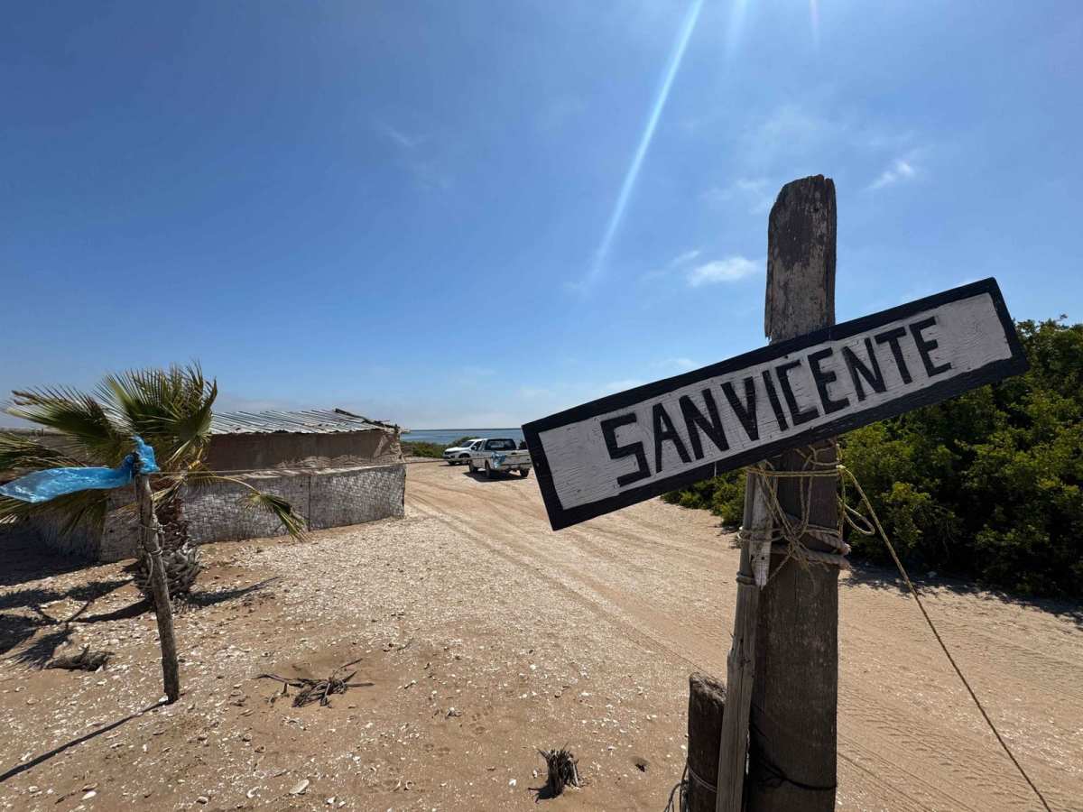
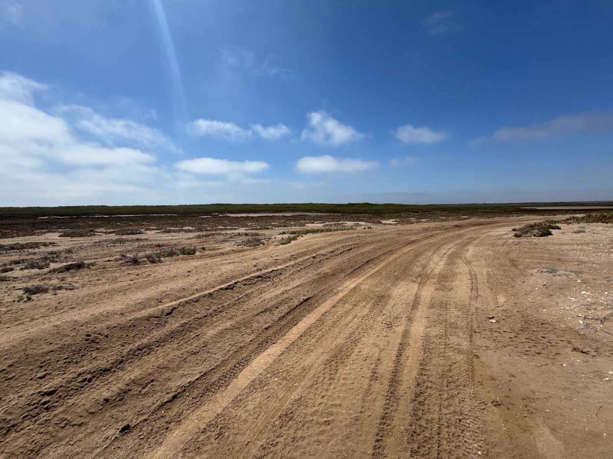
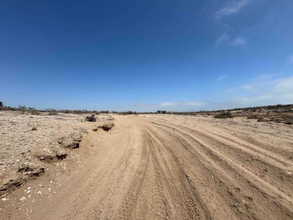
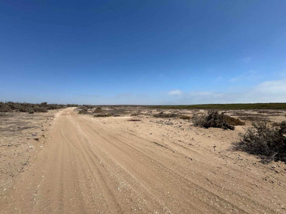
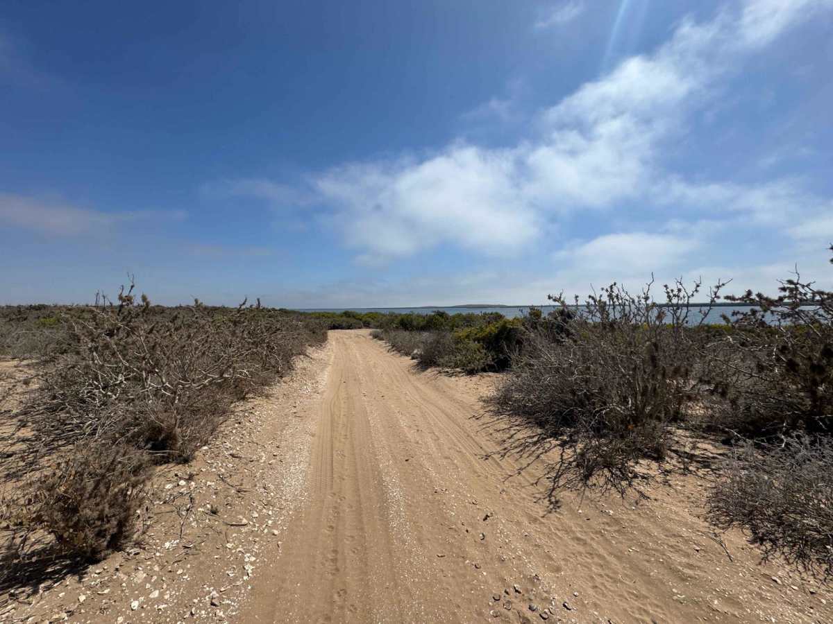
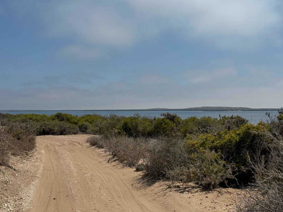
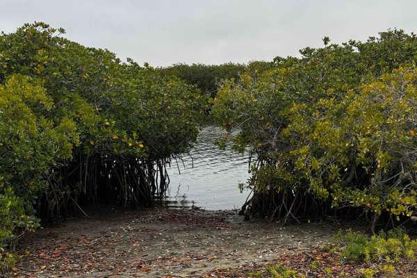
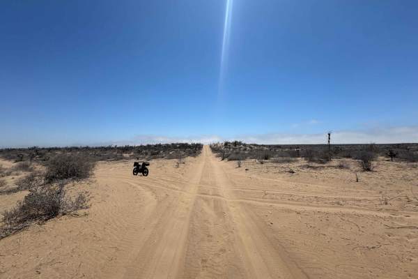
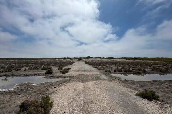
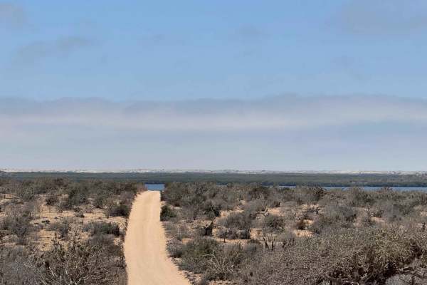
Running north to south, this scenic off-road route begins just across the arroyo from the lighthouse at its intersection with the Peninsula Route. The first few miles feature deep, well-worn sand--often three inches or more--traveled frequently during Baja race events. The road cuts through mid-height desert terrain, offering only occasional views of the coastline until it reaches the sprawling San Vicente fishing camp, which appears to serve as the regional headquarters for the local fishing cooperative. This operation is sizable, with harvests of crab, oysters, clams, scallops, and a variety of fish drawn from the surrounding estuary. Beyond the camp, the route alternates between soft desert sand and firmer, hard-packed stretches skirting the edge of the mangroves. On the left, the landscape remains brown and arid, while the right side is laced with lush greens, broken up by small lakes and expansive estuarine waters. As the trail progresses, brief views through the mangroves reveal more of the estuary, before the road finally bends east and heads directly toward its junction with the north-south Baja race route.
Difficulty
While this route is relatively low in technical difficulty, 4WD and the ability to air down your tires are strongly recommended, along with basic recovery gear. Sections of sand--ranging from three to four inches--combined with low-lying wetlands can present serious challenges for 2WD vehicles, especially after recent tides or rainfall. During high tides, it's best to avoid the lower sections altogether, as water levels can quickly rise and make the route impassable. Fortunately, there are alternative access points to and from the fishing camps via higher ground to the east and west, allowing you to bypass the most flood-prone areas when necessary.