Trail Overview
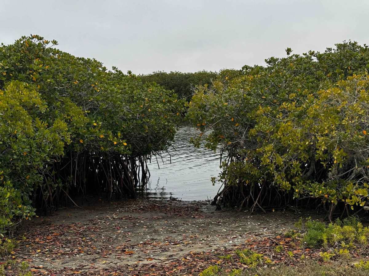
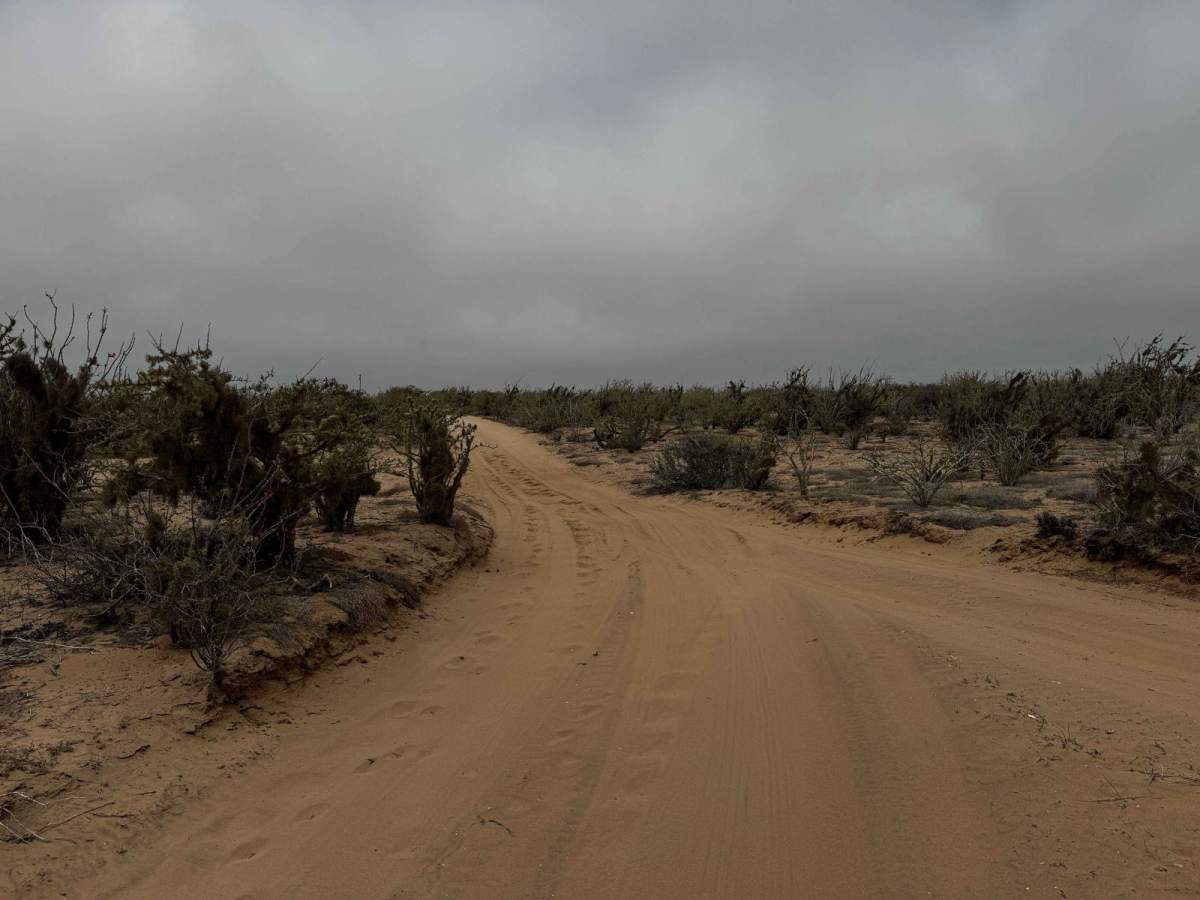
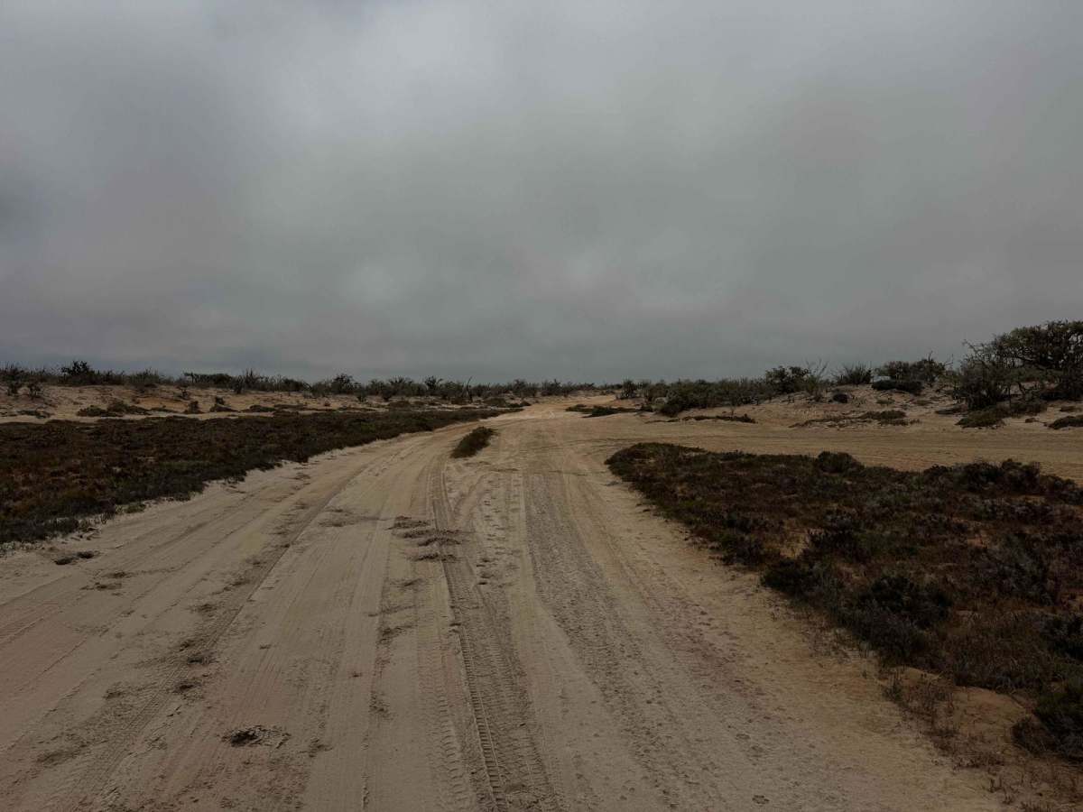
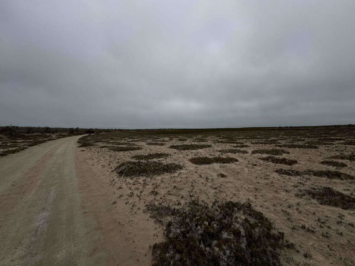
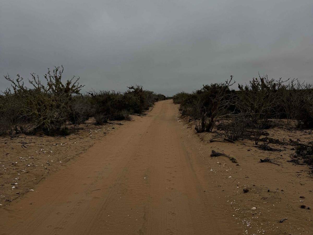
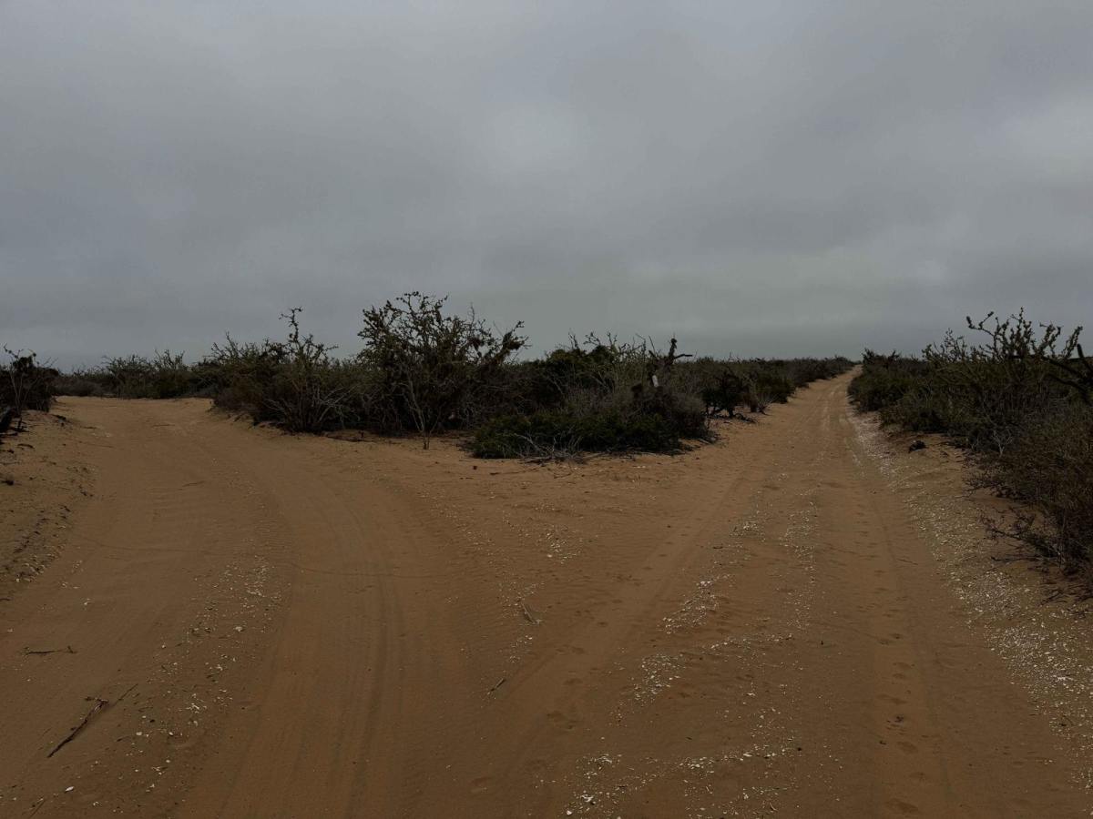
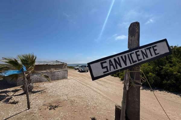
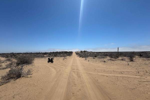
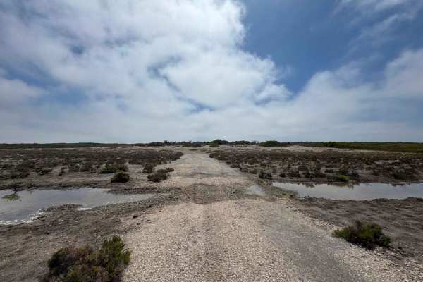
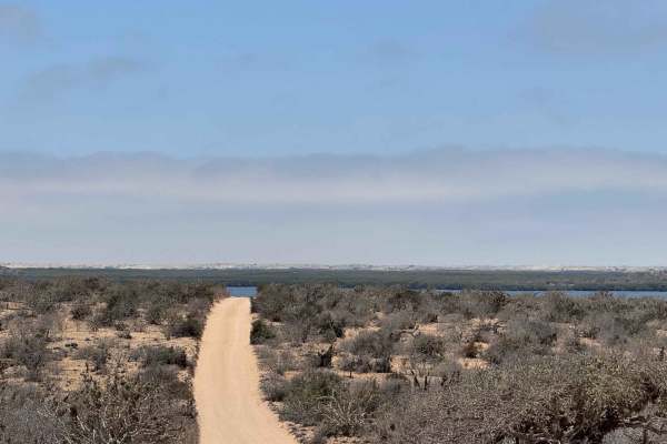
Beginning at sea level where the San Vicente Trail drops into the mangroves, this off-road route winds through a dynamic landscape that alternates between dual tracks flanked by dense wetlands and sandy paths lined with desert flora. As you progress, the trail forks--straight ahead leads deeper into the estuary route, while left takes you toward Campo Las Vacas, crossing a wide, dry lake bed. Staying on the mapped trail, the path becomes less defined but continues to hug the edge of the mangroves, eventually revealing a remote fishing camp that opens onto one of the estuary's largest expanses. Local fishermen here harvest crab, conch, oysters, clams, and scallops. Beyond the camp, the trail again shifts between desert scrub on one side and wetlands on the other, ultimately leading to a north-south road commonly used in Baja racing.
Difficulty
This trail features minimal sand--typically no more than 2 to 3 inches--making it easily manageable in dry conditions. The most challenging section is the final climb toward the Baja race route at the southern end if you're traveling north to south, but even that is not particularly difficult with four-wheel drive or aired-down tires. While the route isn't technically demanding, it does trace the edge of a wetlands area for much of the way, so during king tides or after recent storms, conditions can shift quickly--be sure to evaluate carefully before proceeding.