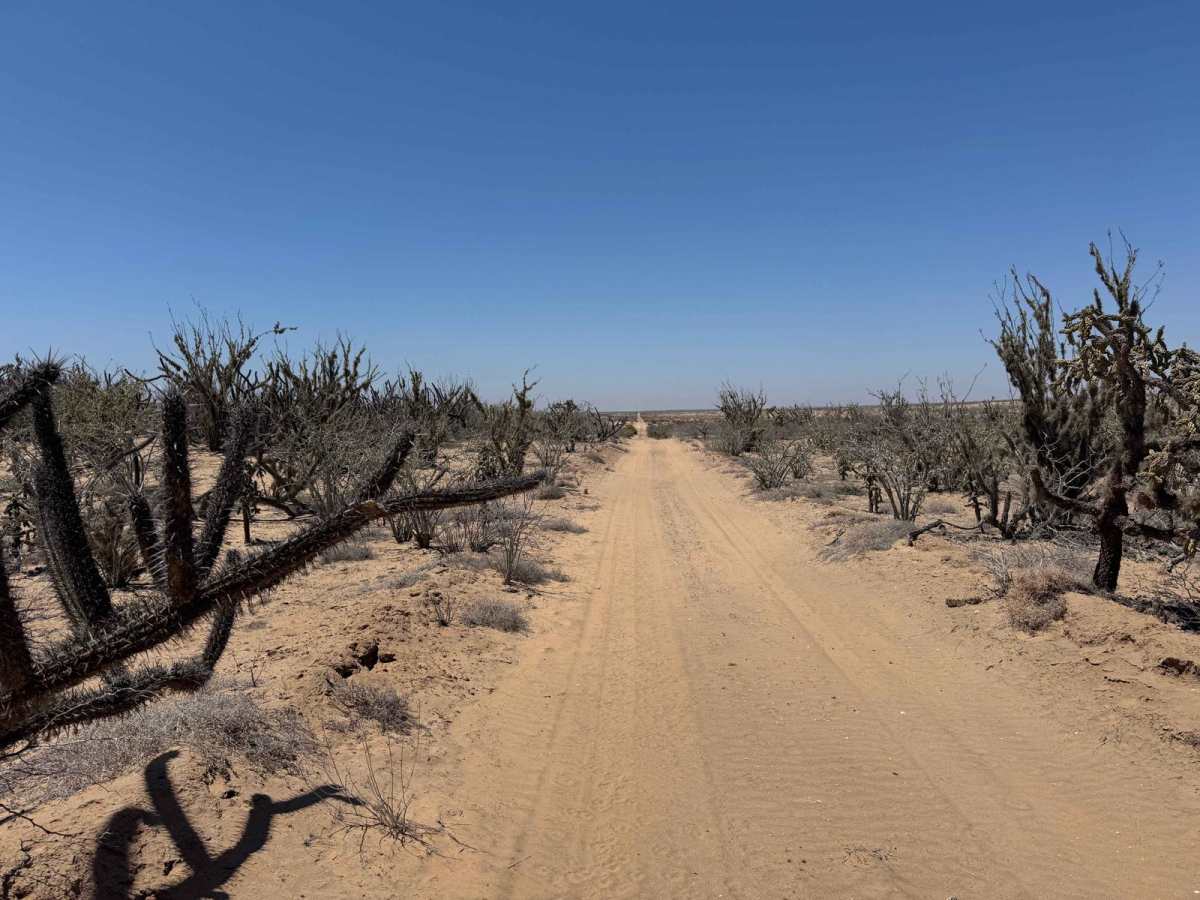
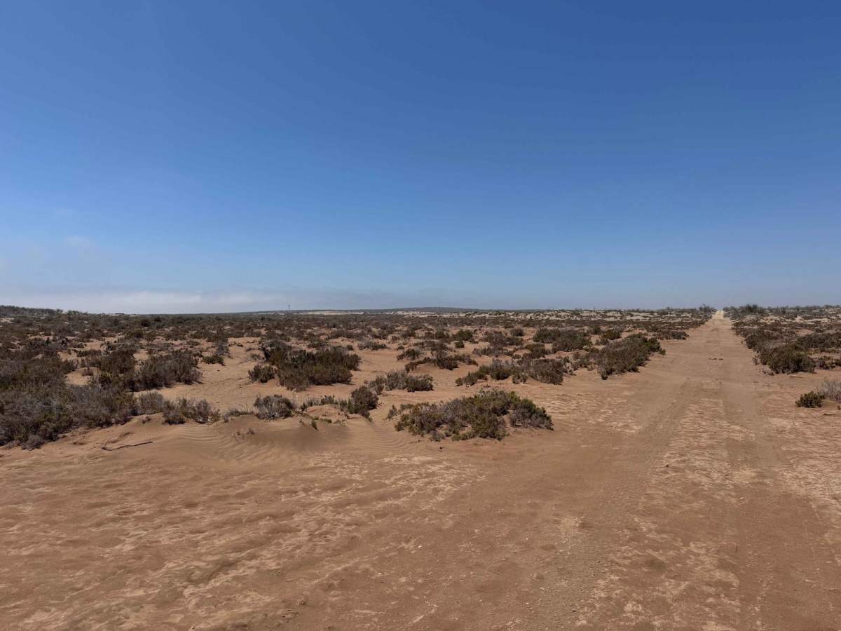
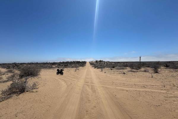
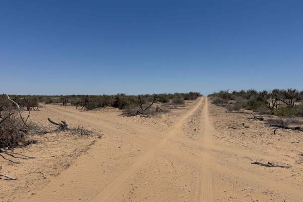
Trail Overview
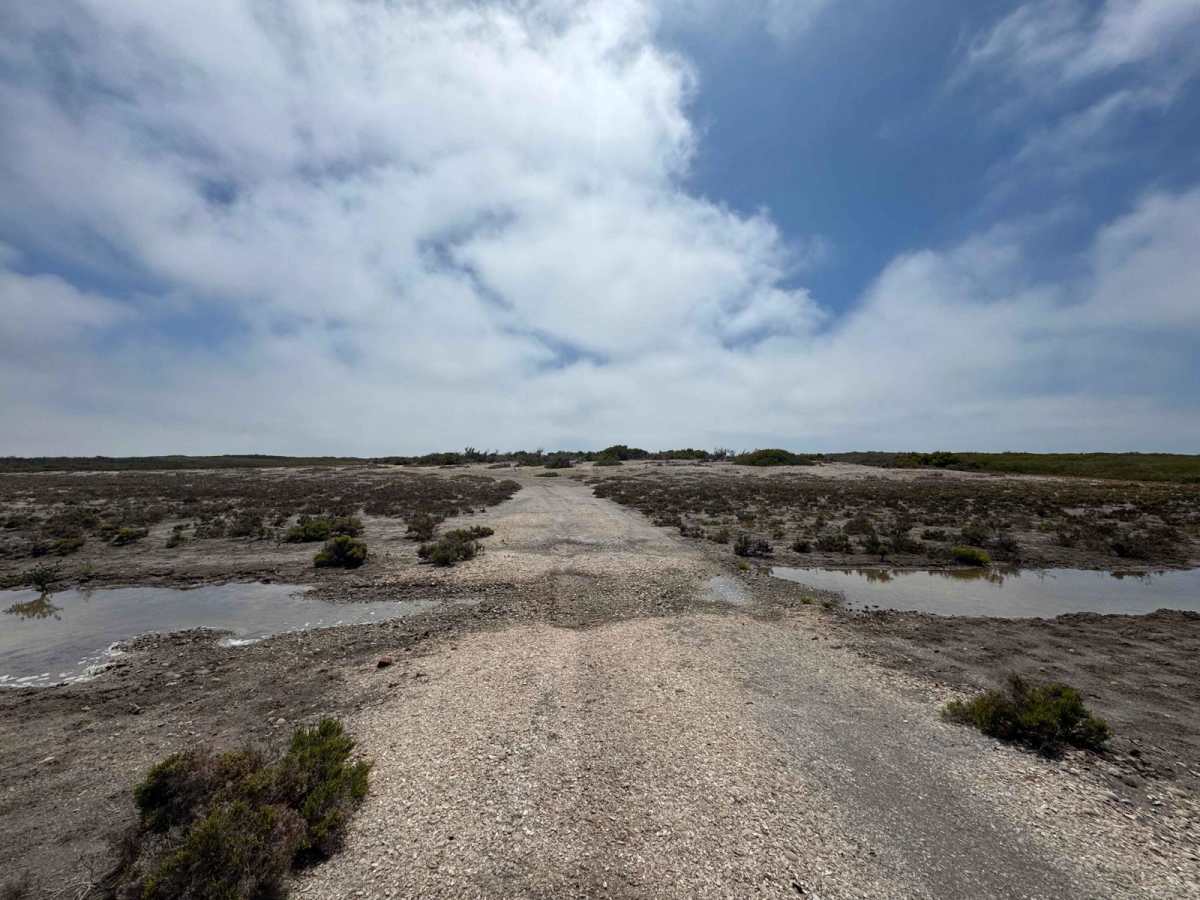
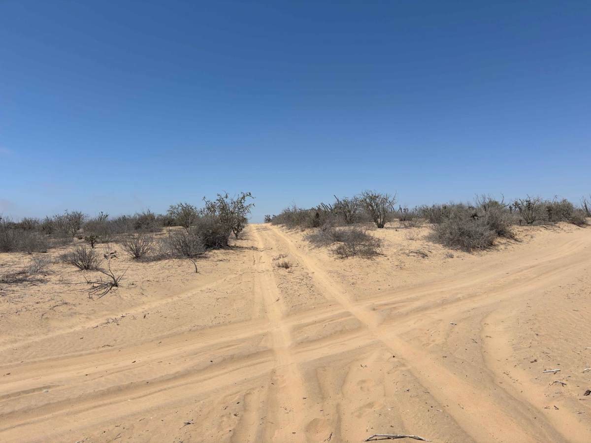
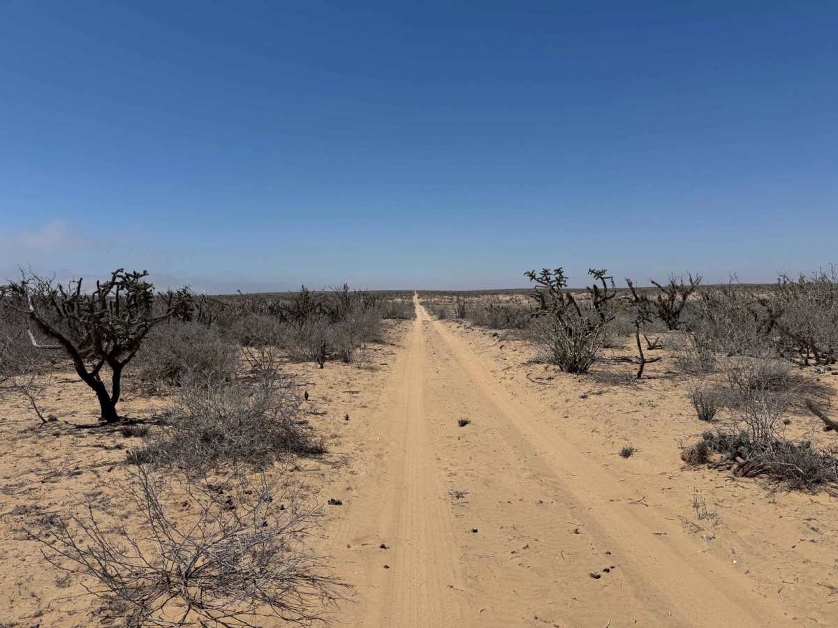
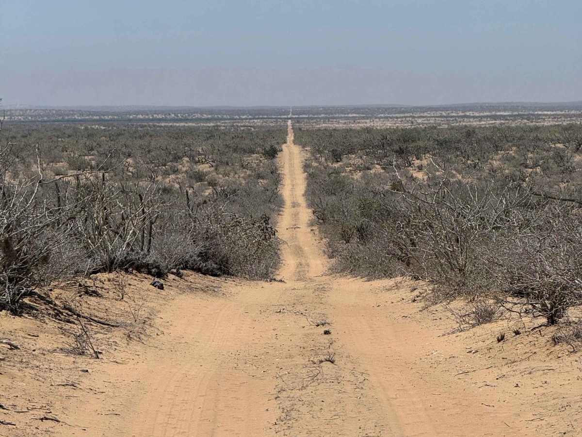
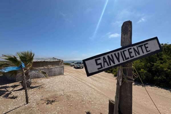
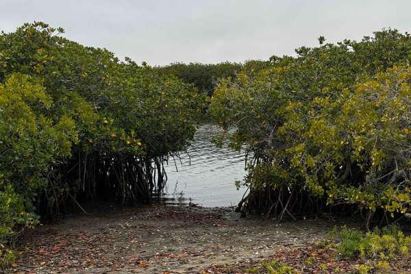
This off-road route begins at a four-way intersection just a few miles inland from the coast, heading north as the desert terrain quickly gives way to a more open, sparse landscape at the edge of the salt flats. Upon reaching the flats, the trail makes a sharp 90-degree turn west, skirting along the edge of the arroyo. Here, the road closely follows the transition between the desert on the left and the salt flats or mangroves on the right, offering a unique contrast in scenery. After passing the area across from the lighthouse, the trail intersects with a coastal route heading south, but this path continues straight through the heart of the salt flats, following a narrow peninsula flanked by mangroves on both sides. Travel through this section requires careful attention to tide charts, recent weather, and seasonal king tides, as the road is extremely low-lying and prone to flooding. Even minor standing water may indicate that conditions are unsafe, and it's best to turn back. If you venture to the end of the peninsula, be mindful of the tides--rising water can easily cut off your return route and leave you stranded.
Difficulty
While this route is very easy under dry conditions--offering a smooth and straightforward drive--any amount of moisture can dramatically change the terrain, quickly turning it into a deep mud bog. In these low-lying areas, 4WD and the ability to air down your tires are essential, especially if you veer slightly off the main track or encounter soft, saturated ground. Traveling with a second vehicle is strongly recommended as an added safety measure in case recovery is needed. Aside from those precautions, the route remains simple and enjoyable when dry.