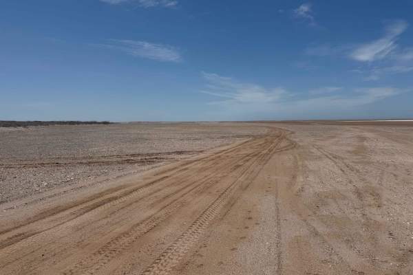
Trail Overview
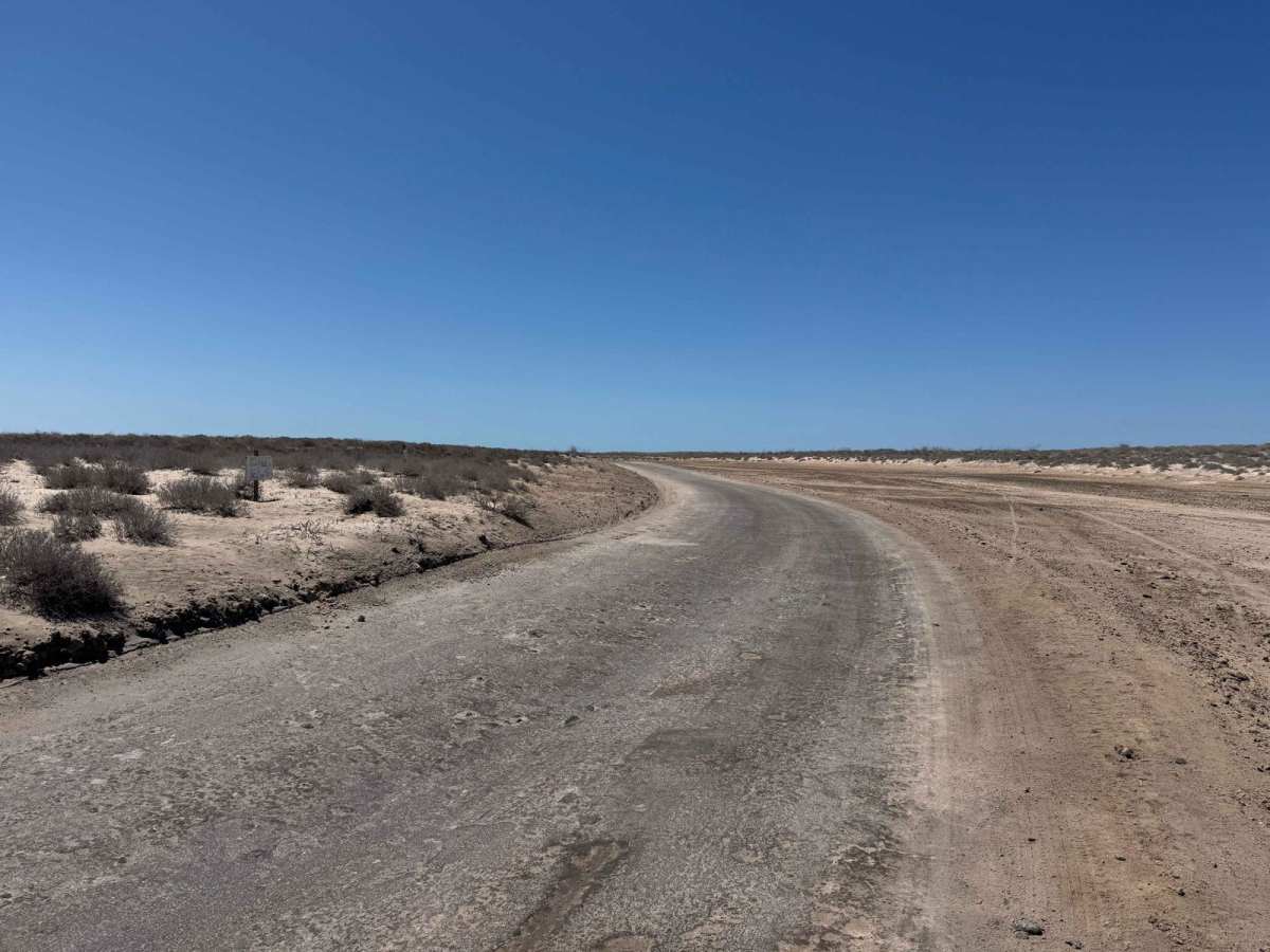
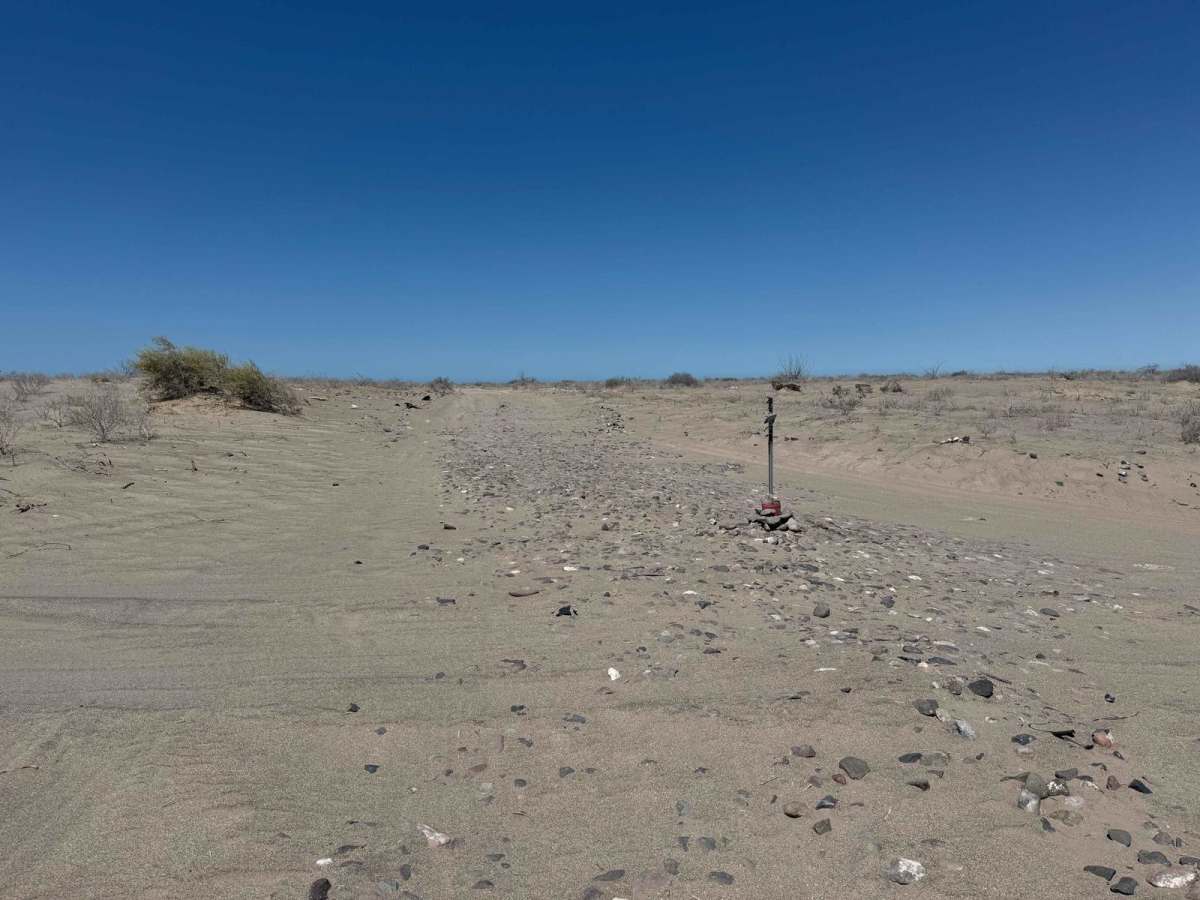
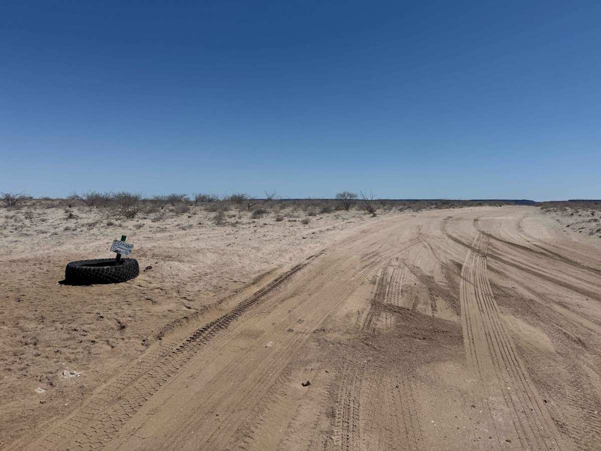
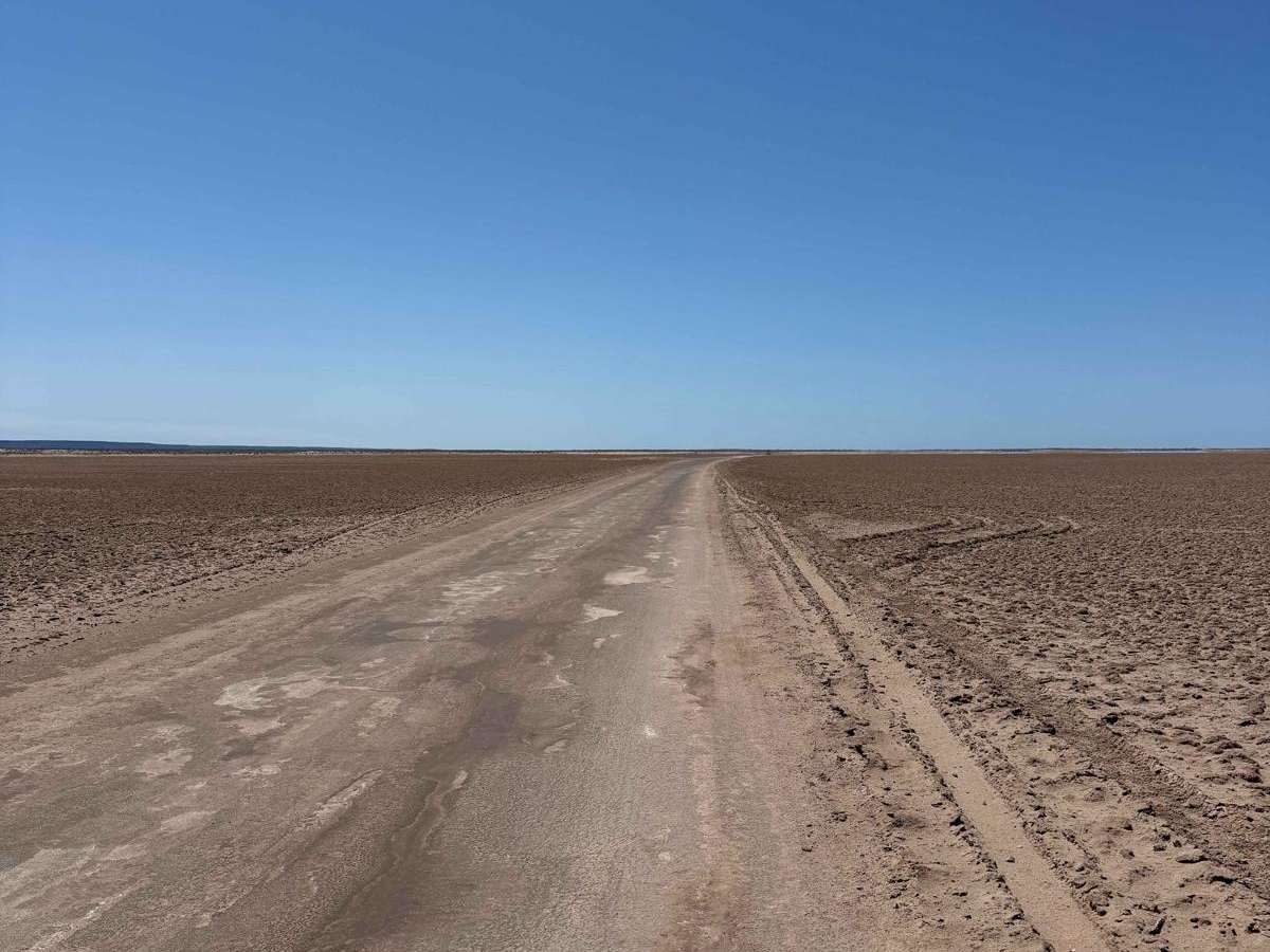
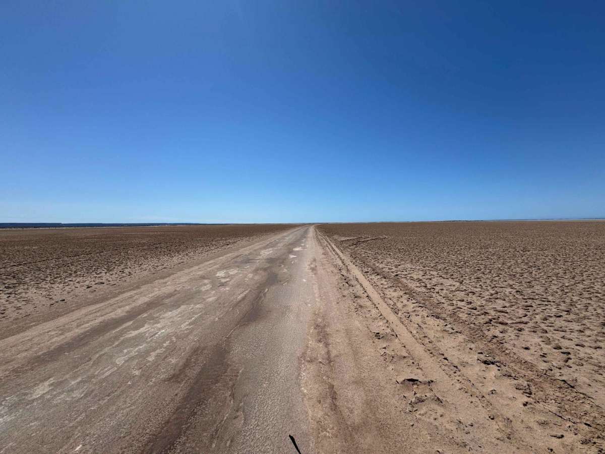
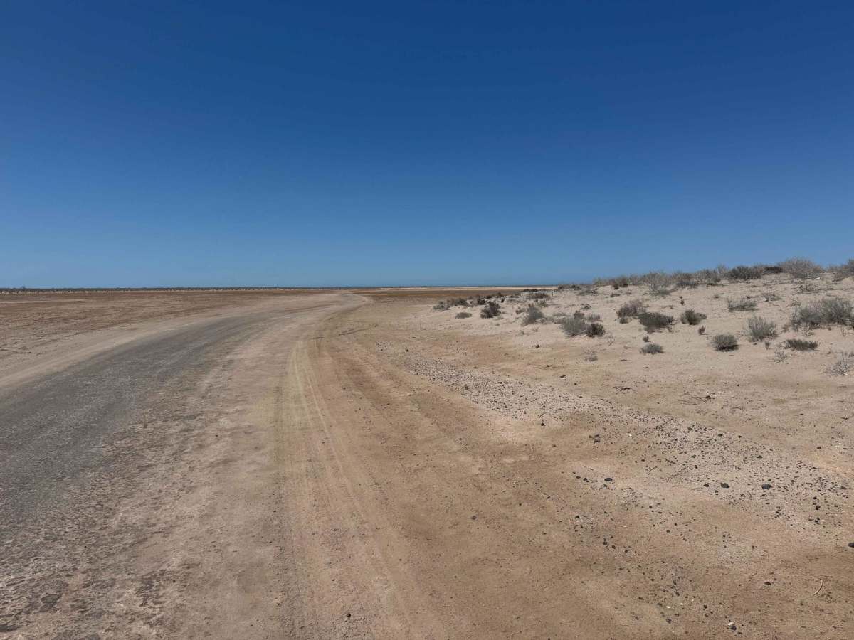
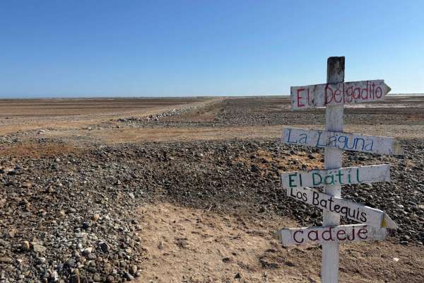
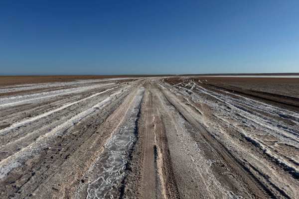
Salt Flats Batequis begins off the main road between Cadeje and Laguna San Ignacio near Rancho Batequis, passing through a short stretch of desert before skirting the edge of the salt flats for four to five miles. Under normal conditions, the road is easily navigable by any vehicle with decent ground clearance. However, recent storms or king tides can quickly transform the flats into hazardous terrain, so it's crucial to check conditions beforehand and stay on the packed sections of road. As the trail continues, it winds back into the desert before making a right turn and eventually intersecting with the main route to Laguna San Ignacio.
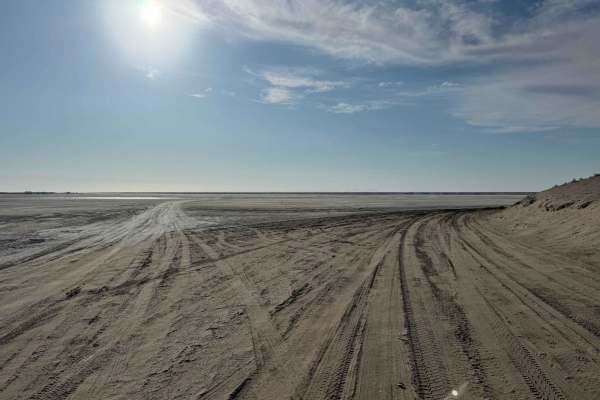
Difficulty
While this road is generally easy, well-packed, and suitable for nearly any vehicle, it crosses salt flat terrain where conditions can change quickly. Recent storms or unusually high tides can saturate the ground beneath the surface, making it deceptively unstable. Venturing off the main track is risky as breaking through the crust is a common mistake and can lead to extremely difficult recoveries, especially if you're traveling alone. Always stay on the established route and check conditions before setting out.