Trail Overview
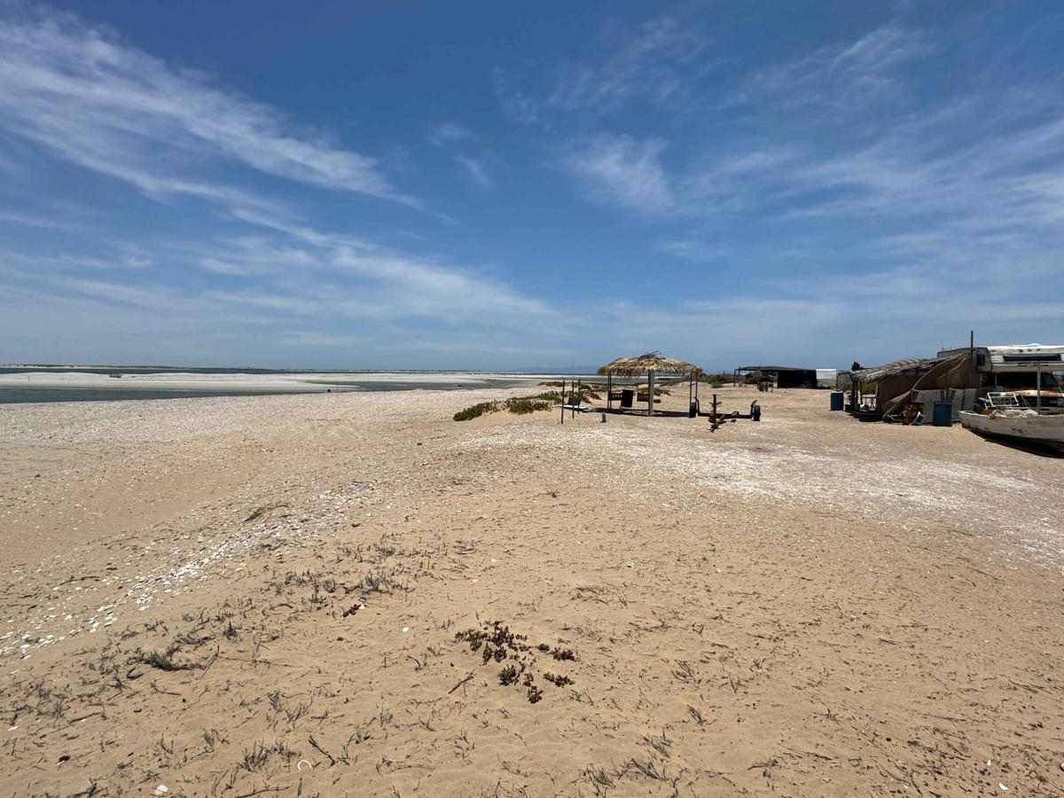
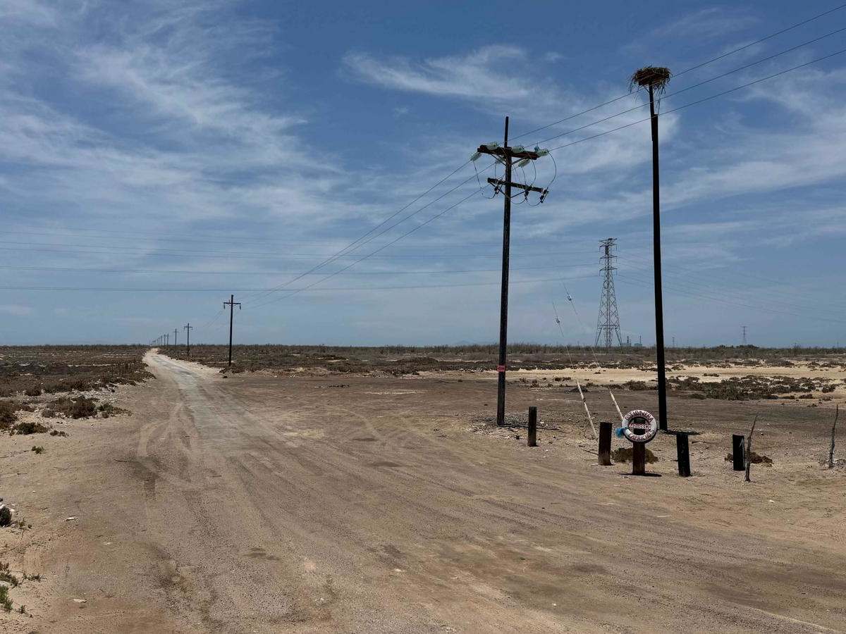
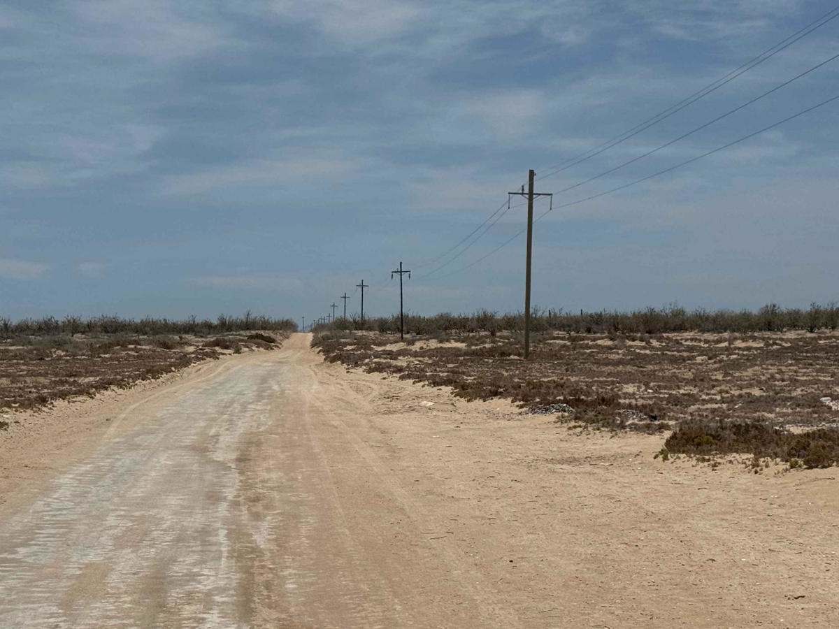
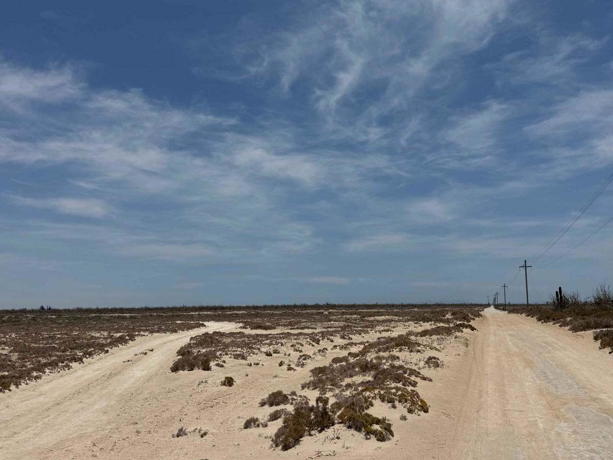
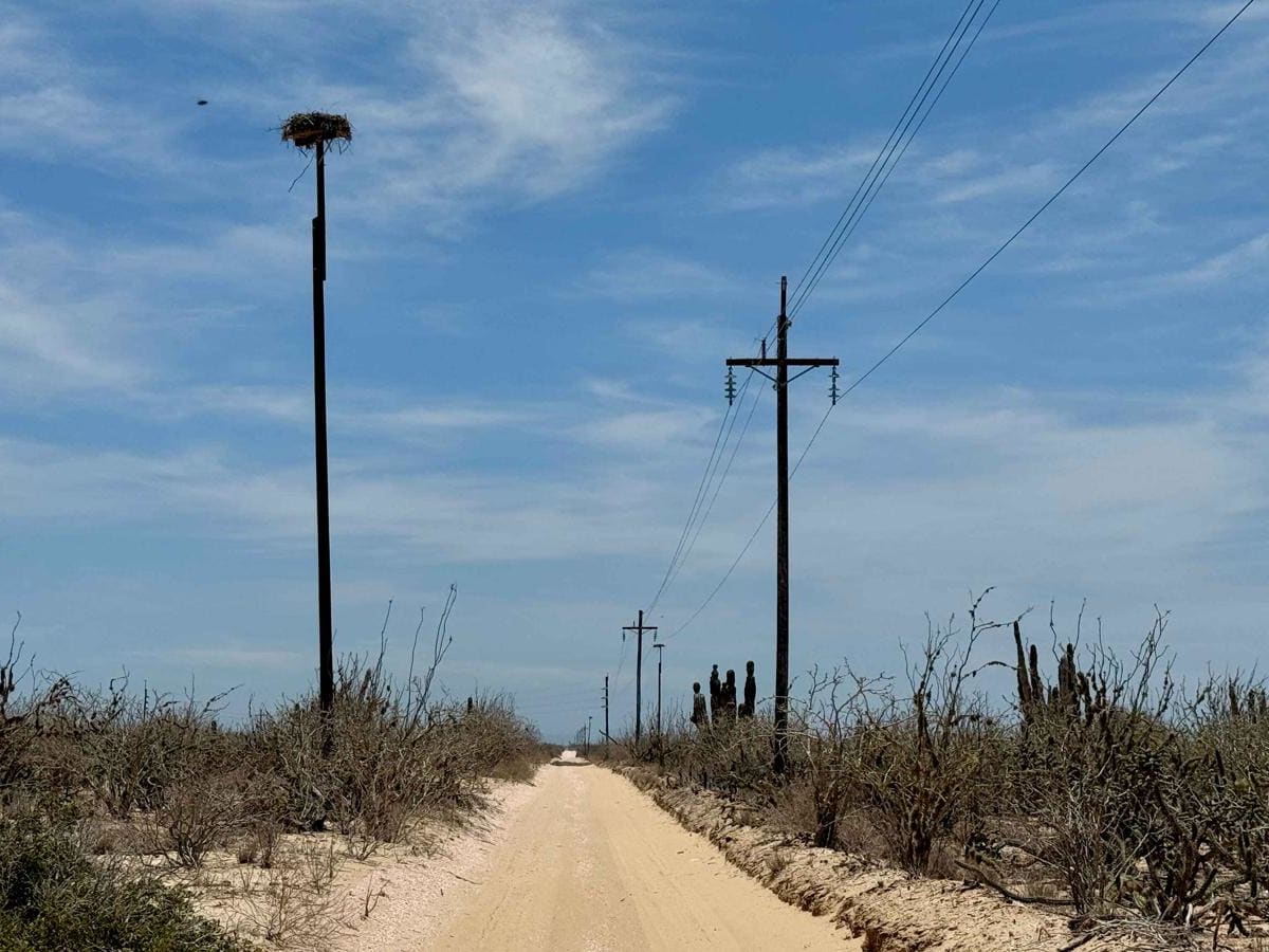
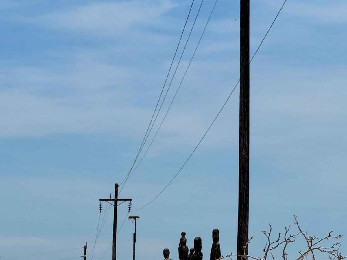
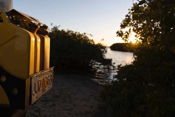
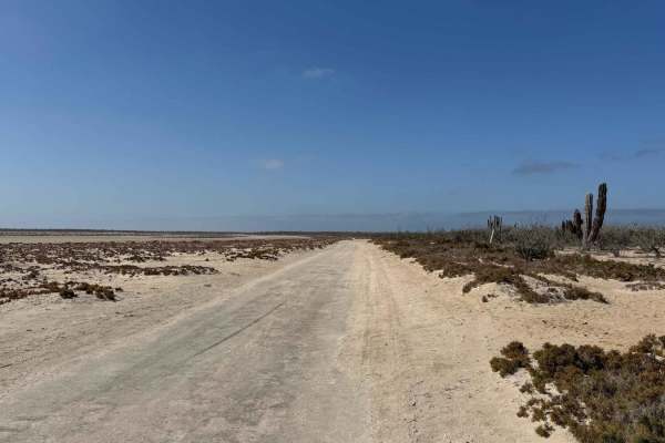
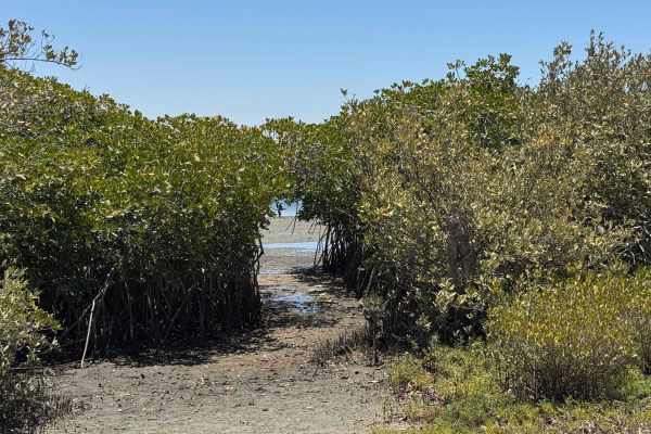
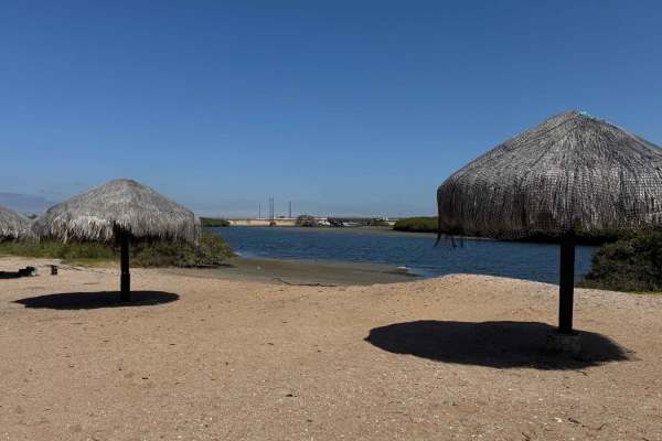
This scenic route begins just off Highway 22, following a long, straight, and well-maintained road that runs alongside powerlines toward the tip of the peninsula. The surface is only mildly bumpy with minimal corrugation, making for a relatively smooth and pleasant drive. As you progress, the shoreline is near and you'll pass several turnoffs marked by signs for oyster vendors and waterfront campsites--ideal spots for a relaxing day by the water. Midway through the route, you'll cross expansive salt flats;while they may appear dry, avoid venturing too far off-track, as they can remain soft and waterlogged beneath the surface. The final third of the journey is the most visually striking, with scattered homes, trailers, and small coastal settlements lining the road. After a sharp 90-degree turn near a property marked "private," the trail hugs the coastline, offering sweeping ocean views until it reaches the peninsula's end--a tranquil, blue-water point dotted with oyster farms and a few rustic structures. Though the area was quiet during mapping, signs suggest it's a popular gathering spot on Sundays and holidays. Note that while the final stretch includes a gate, it was open at the time, but access fees may occasionally be required if you plan to spend the day or camp overnight.
Difficulty
While the final sections of the trail include some light sand--generally two to three inches deep--any vehicle can complete the route, provided the driver has basic experience navigating sandy terrain. Four-wheel drive is not required under normal conditions.