Trail Overview
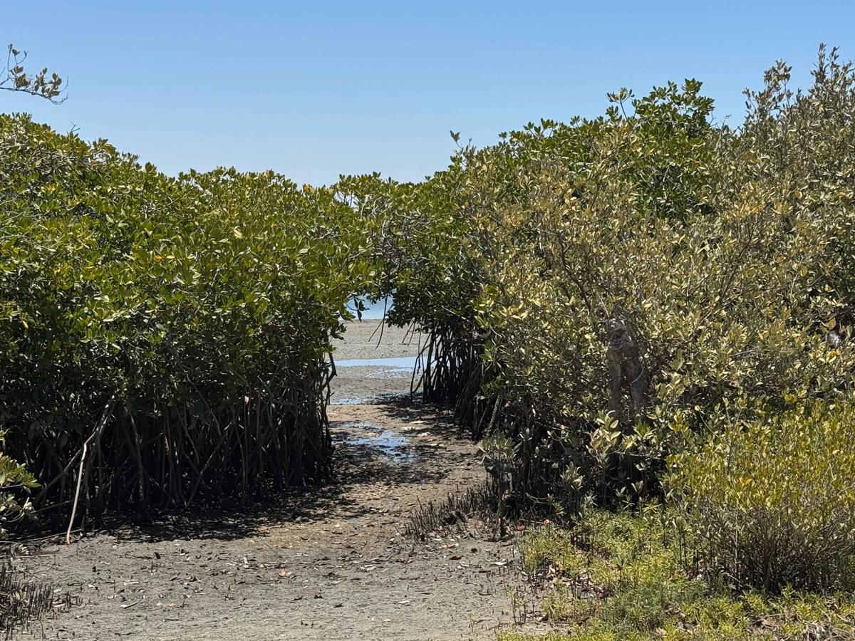
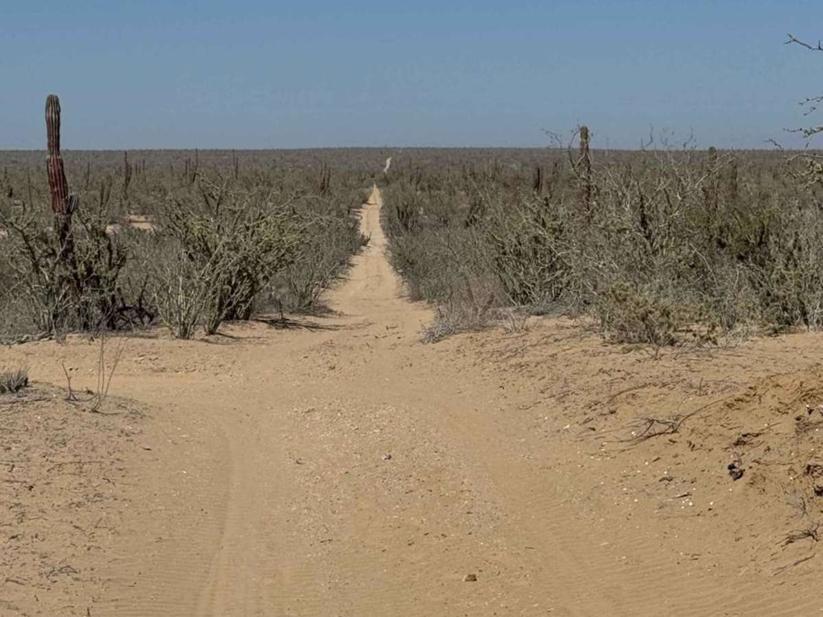
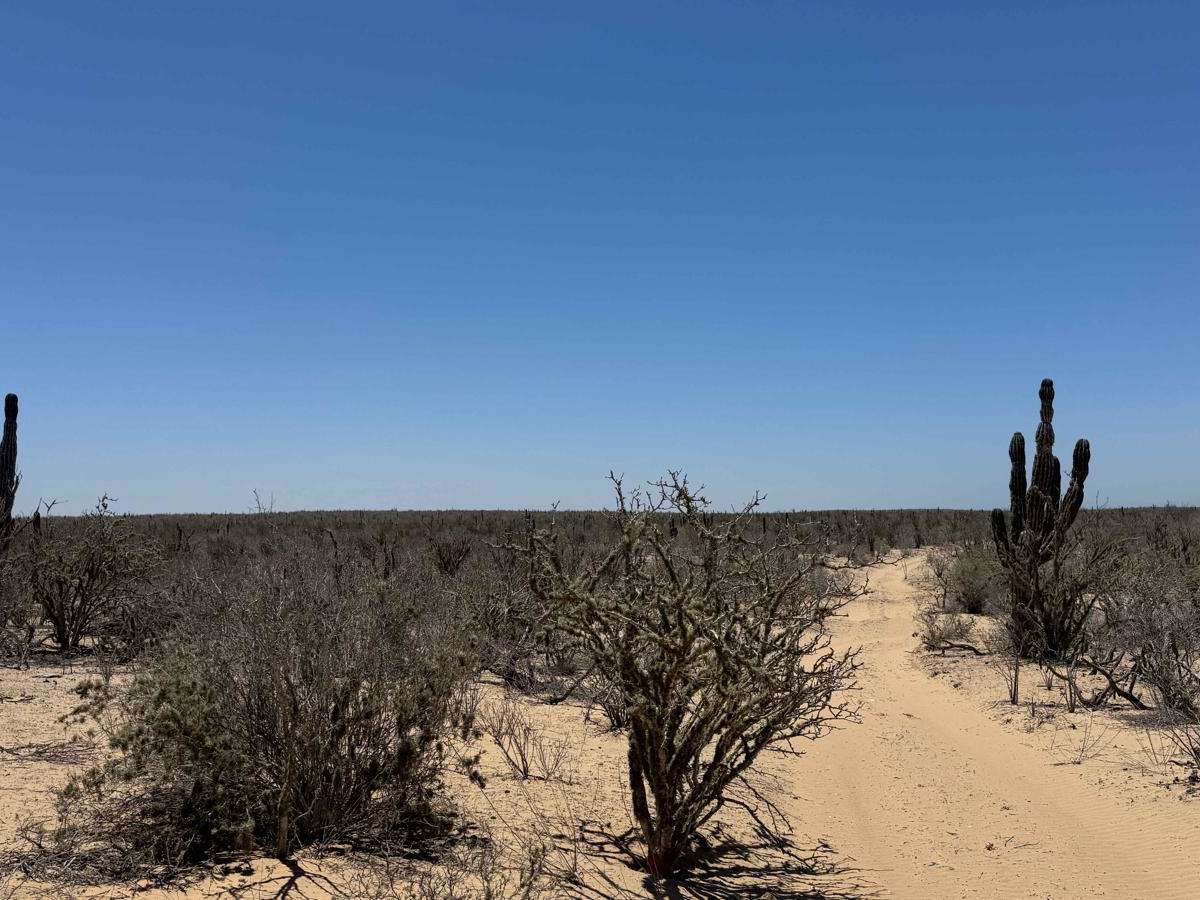
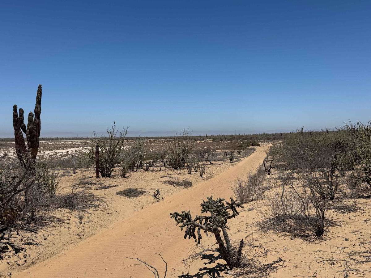
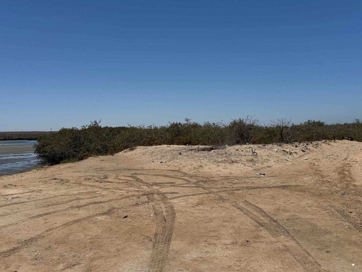
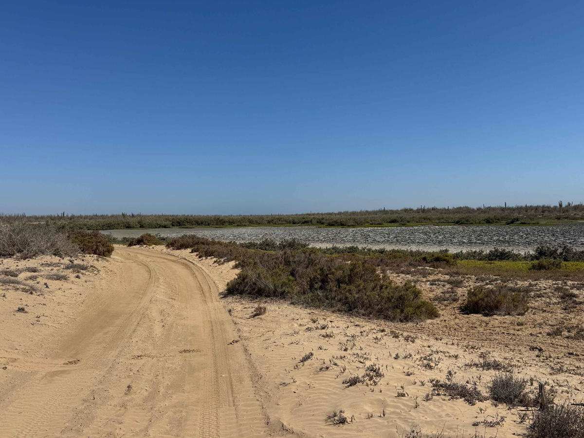
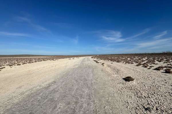
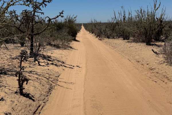
This off-road trail begins just off Highway 22, following a set of power lines for roughly half a mile before veering right toward a network of inland waterways. The first two miles feature the deepest sand on the route--challenging terrain that gives way to firmer ground as you enter the mangroves. This section offers several ideal flat spots for camping and marks the start of the trail's most scenic stretch: a winding path through lush mangroves alongside a tranquil inland river. While not as dramatic as the eastern coastline, the area is striking in its own right, with smooth, moisture-rich sand and a mix of shaded groves and open desert scrub, occasionally revealing glimpses of the waterway. Near the end of the route, a fork to the right connects to another onX trail, offering access to untouched beaches or a return route to Highway 22. The main trail concludes in a tunnel of dense mangroves, leading directly to the edge of the inland water.
Difficulty
Use caution and consult tide charts before entering these low-lying areas. While the trail is rated a 2 primarily due to the deep sand leading into the mangroves, conditions can change rapidly. The rest of the route is typically easy when dry, but seasonal high tides, king tides, or storm surges--especially from hurricane systems--can significantly increase difficulty or even leave you stranded deep within the mangroves. If you encounter standing water on the trail, it's wise to reconsider your route for the day.