Trail Overview
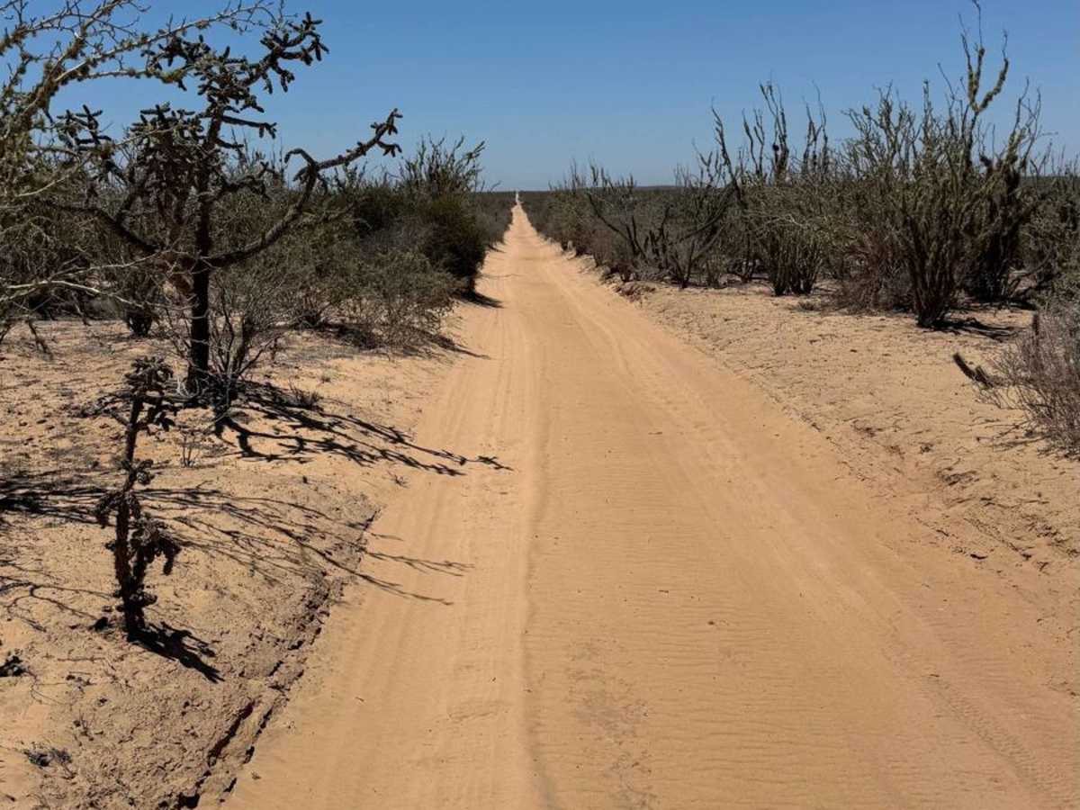
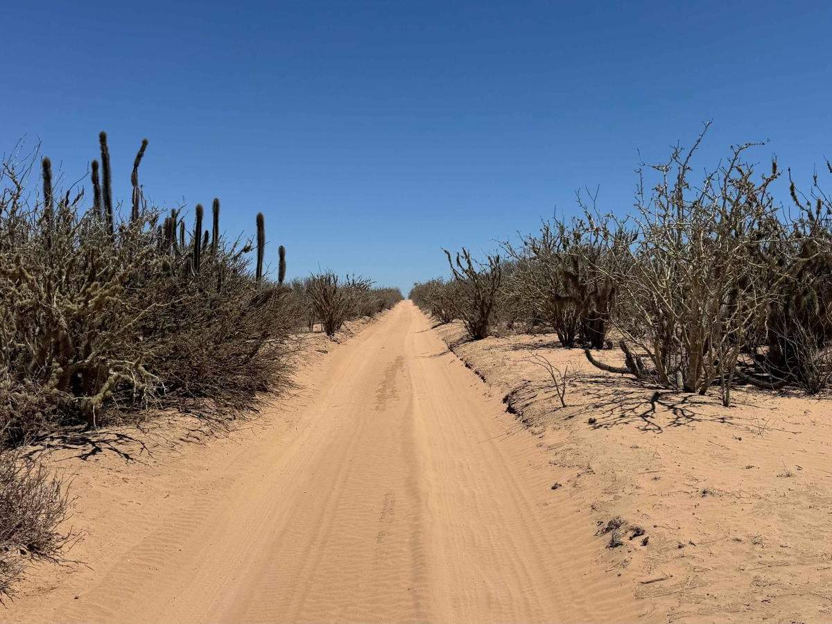
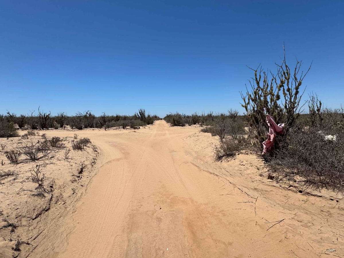
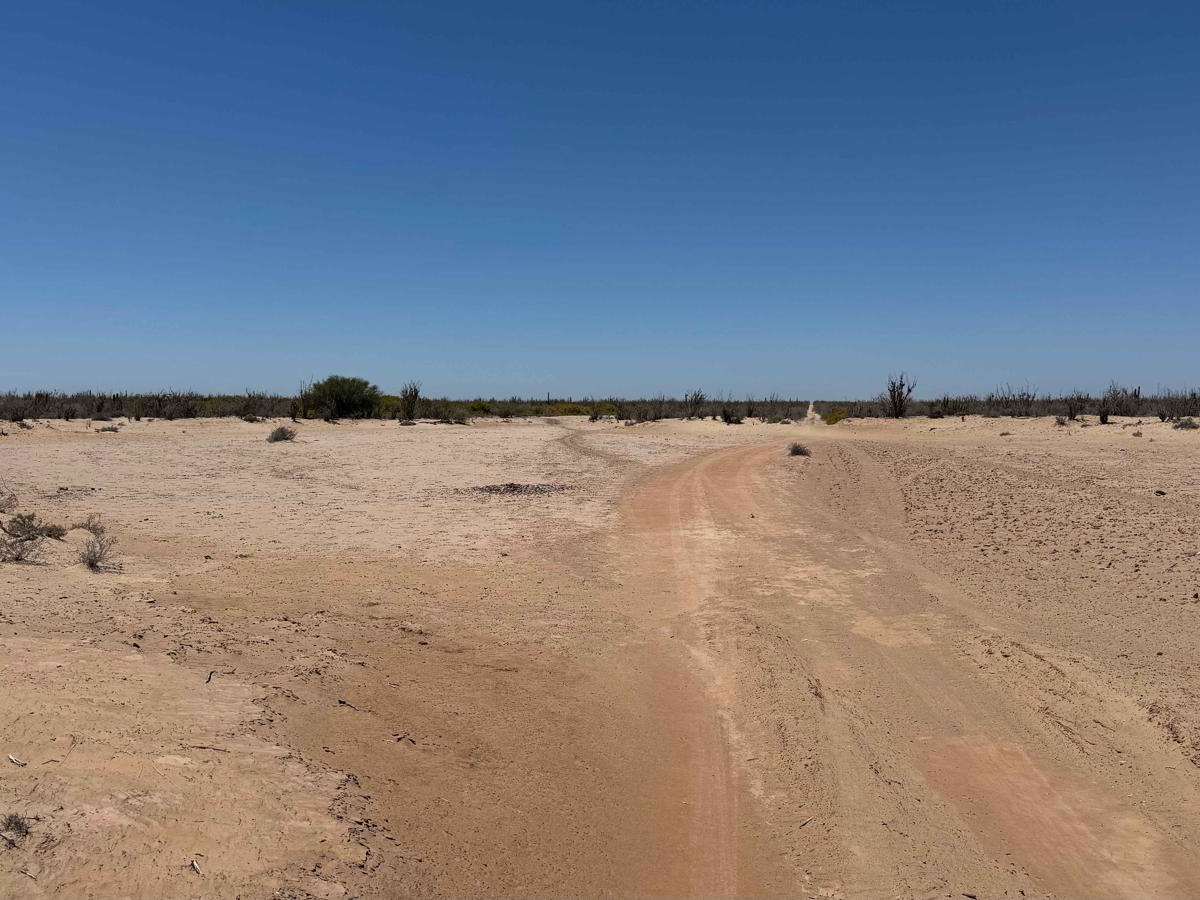
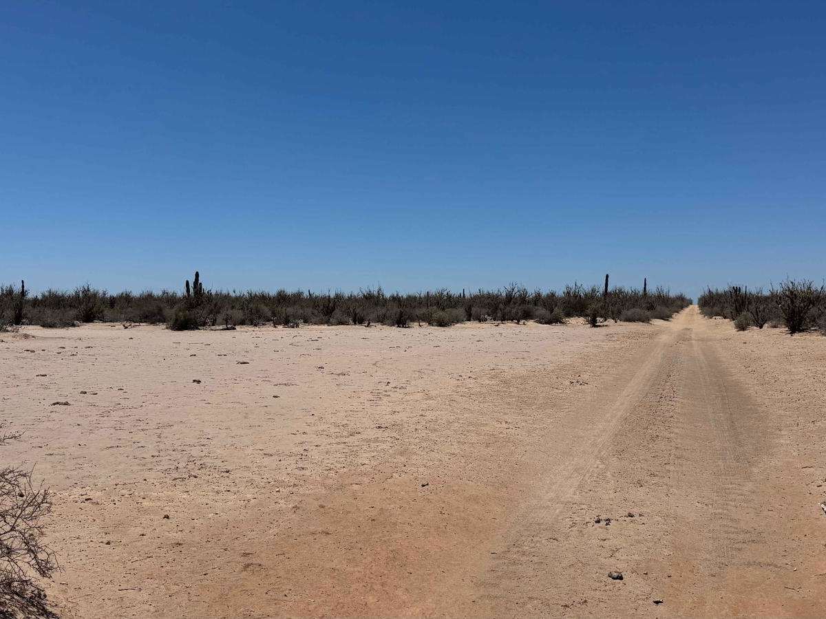
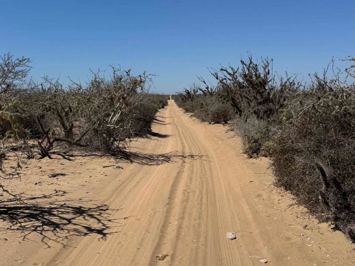
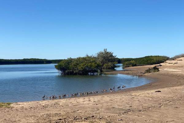
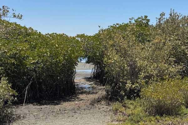
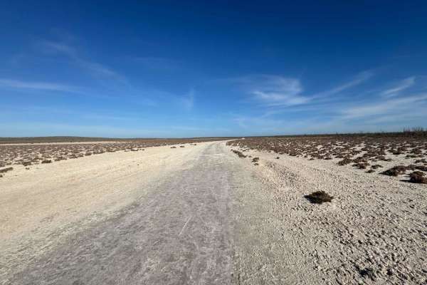
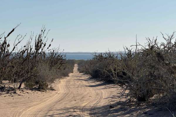
This single-vehicle-wide two-track runs north from Highway 22 and stretches toward the coast, ending about five miles short of Puerto Adolfo Lopez Mateos. From its southern start point, the trail is a narrow, straight sand road with an average depth of 2-3 inches, occasionally deepening as it dips in and out of arroyos. Full-sized vehicles should expect some light scratching from brush, particularly in the early miles, though the route becomes more traveled and open the farther north you go, thanks to regular use by local fishing traffic. Several spur trails branch westward toward the La Florida Peninsula, offering access to vibrant green mangroves and remote fishing spots. While the main track itself is fairly uneventful and straight, it serves as a useful connector to multiple routes and destinations. The trail ends before reaching town, and a final right turn at the north end provides the smoothest and fastest access back to pavement.
Difficulty
Although this route isn't particularly difficult, there are sections where the sand gets noticeably deeper, and the area is quite remote. Having 4WD, airing down your tires, or at least having solid experience driving in soft sand, can make a big difference and help avoid getting stuck in the more challenging stretches.