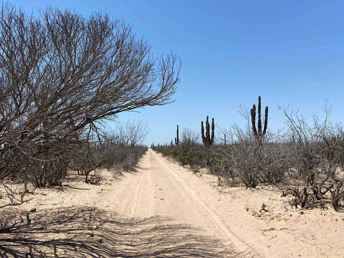
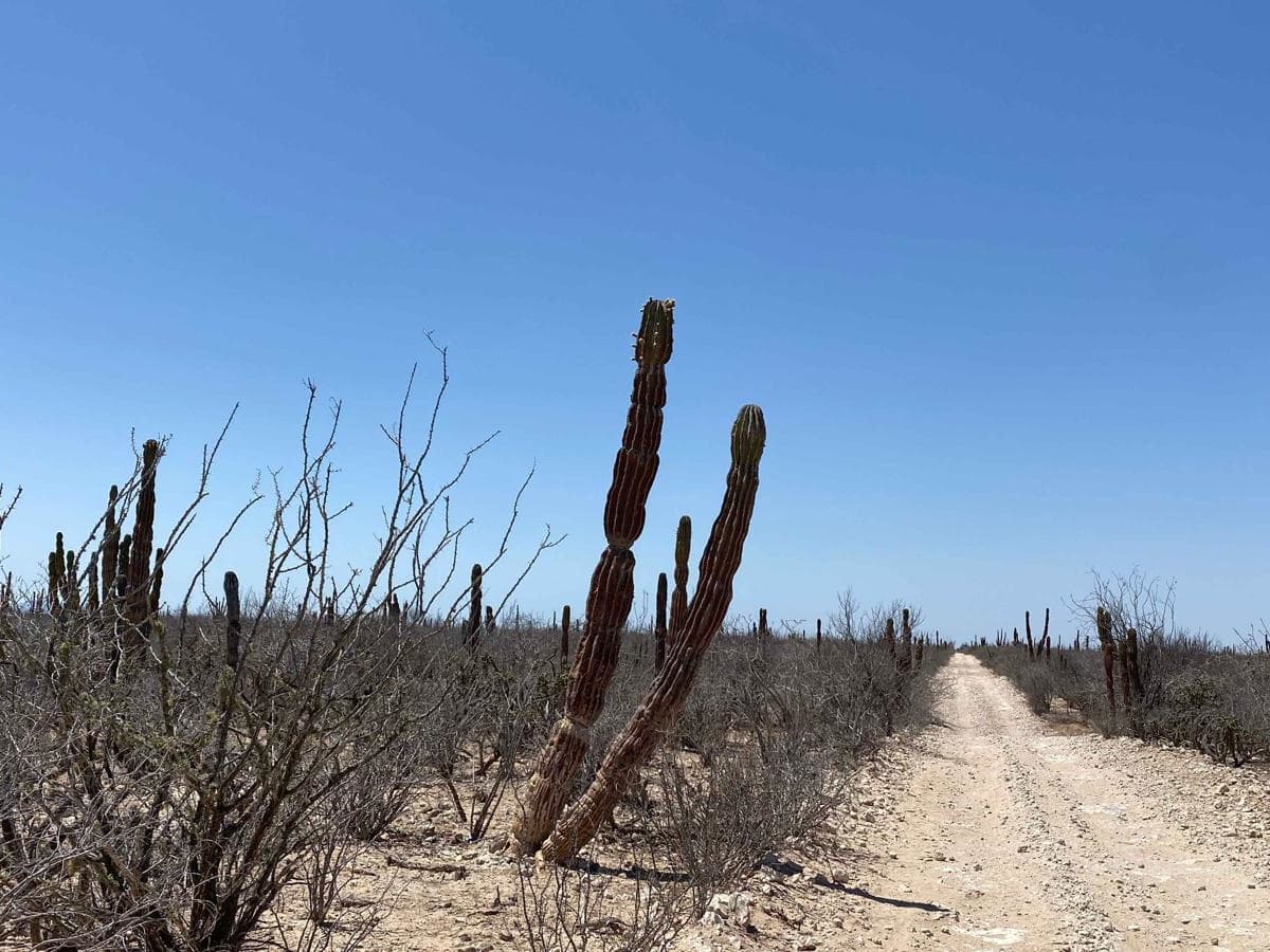
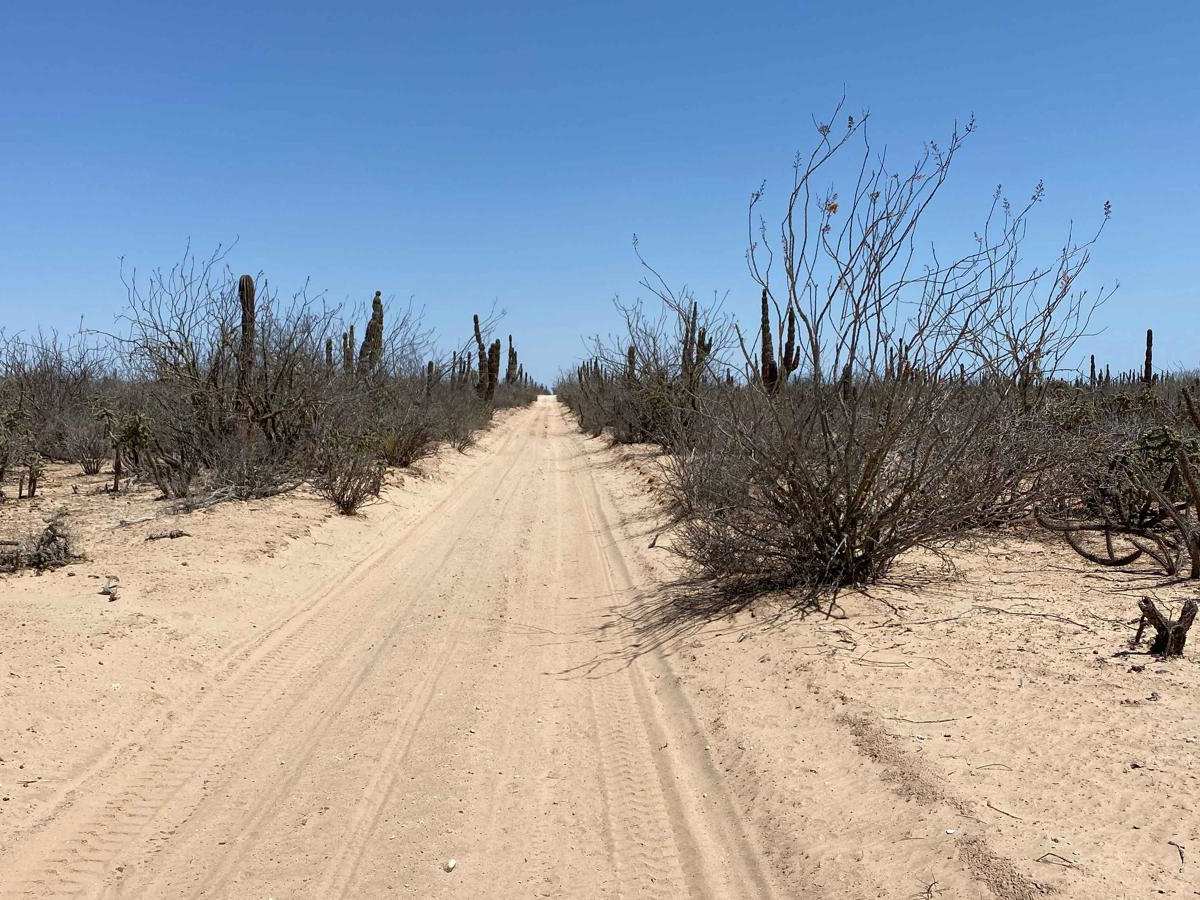
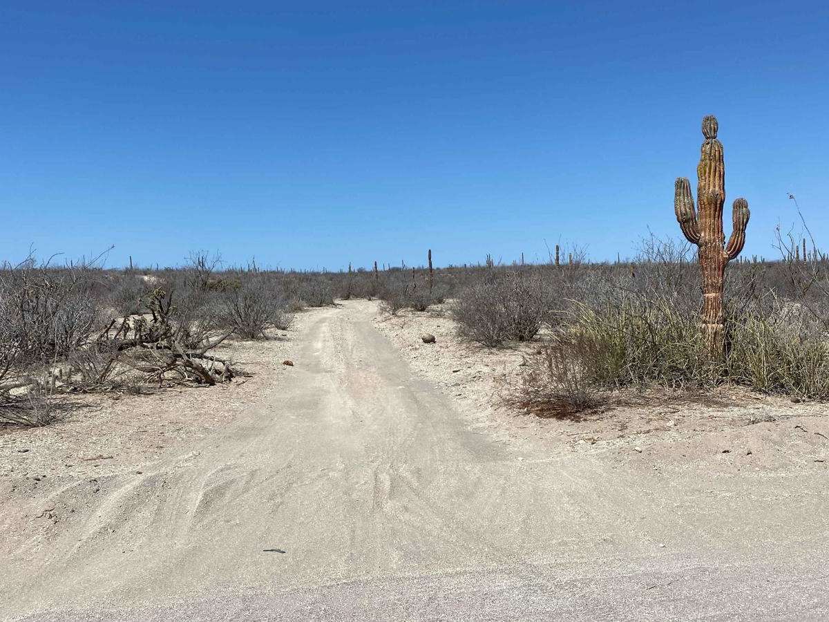
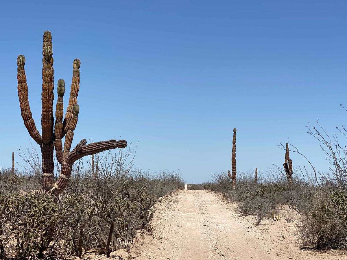
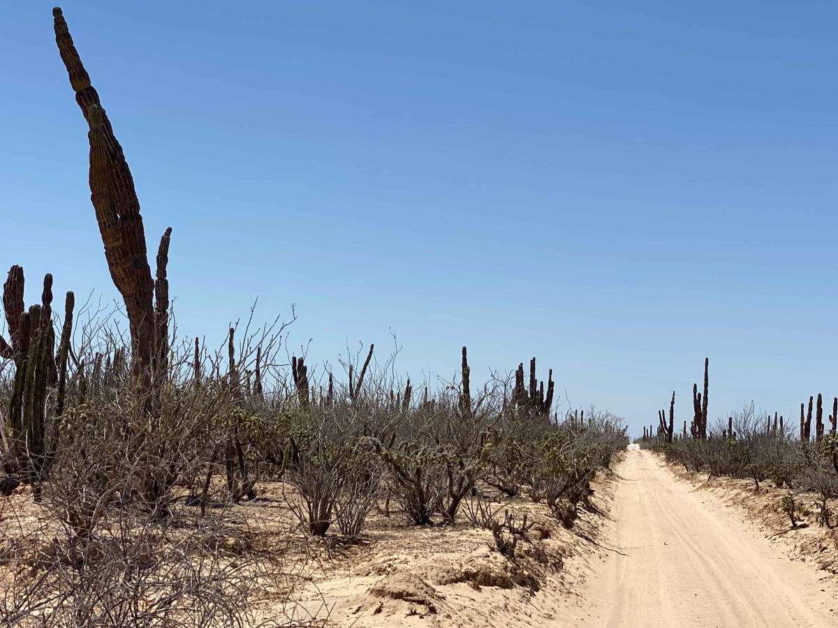
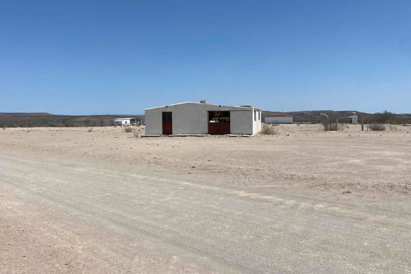
Trail Overview
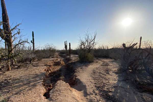
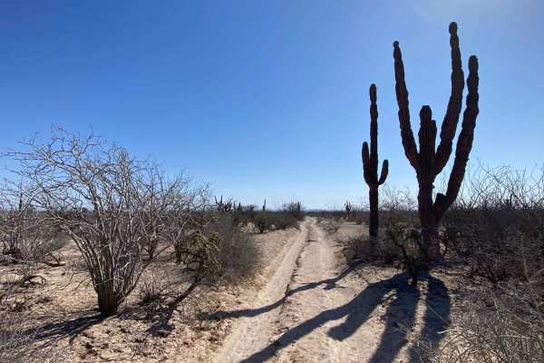
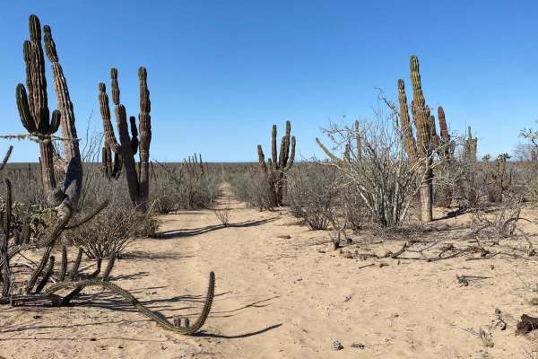
This relatively uneventful off-road route serves as a connector running east to west, roughly midway between the main highway and the coast. It stretches from the onX trail labeled 2 de Abril all the way to the highway leading to Puerto Chale, passing through a network of intersecting north-south and east-west tracks--though this is one of the more well-defined paths. The terrain alternates between rough stretches of loose, baseball-sized rock that make for a bumpy ride and softer sand sections as the trail drops into arroyos. One particular arroyo featured deep sand that required 4WD to maintain forward momentum, even with tires aired down low. Aside from that, the trail is fairly straightforward in dry conditions, offering expansive desert views and a quiet, remote backdrop throughout the journey.
Difficulty
Although this trail isn't particularly challenging overall and much of it can be traveled in 2WD, there is one notable arroyo with a long sandy stretch--roughly 60 to 80 meters--where 4WD was necessary to maintain momentum, even with aired-down tires. Aside from that section, 4WD is unlikely to be needed, and the trail remains fairly manageable in dry conditions.