Trail Overview
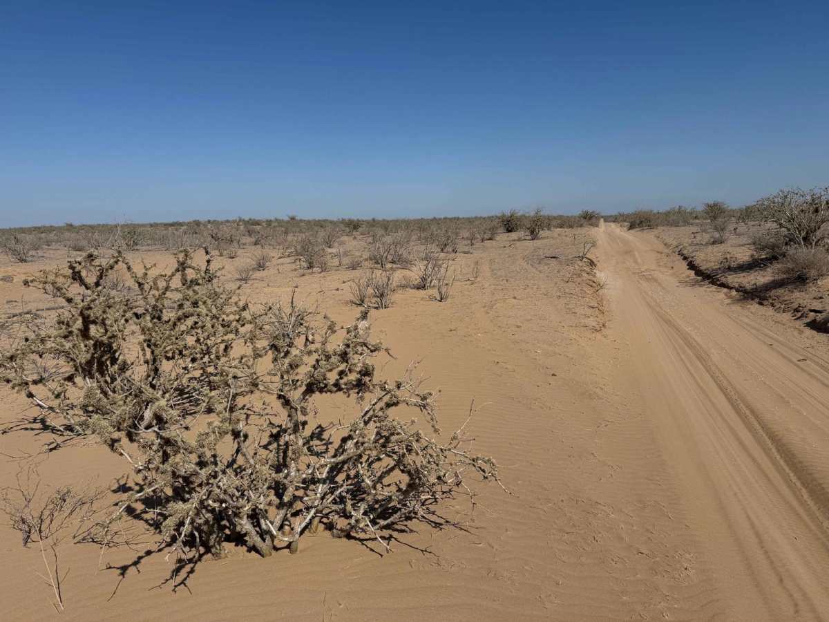
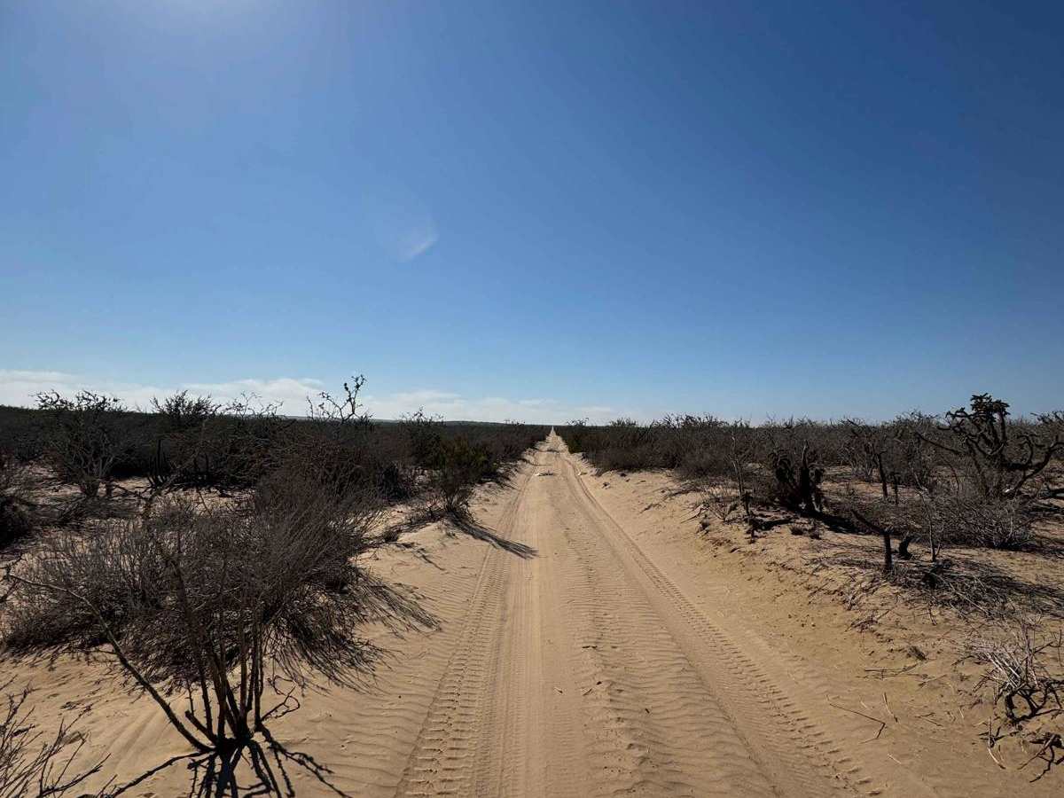
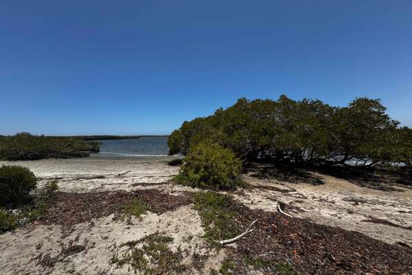
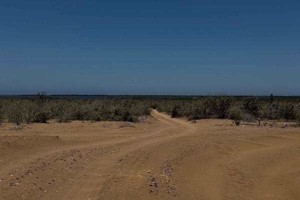
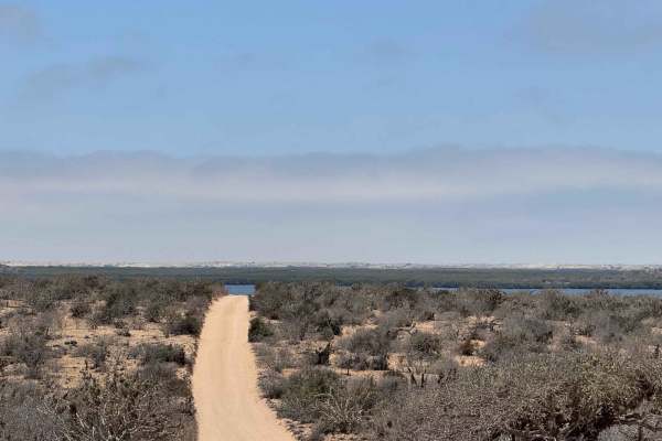
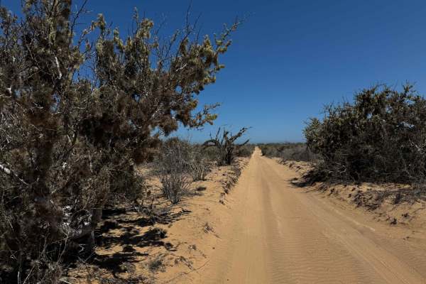
This off-road route begins off the main highway leading to Adolfo Lopez Mateos and heads northwest in a relatively direct line toward the estuary region, though it ends about a mile inland. The trail starts out a bit rough, with scattered piles of clam and oyster shells--discarded by local fishermen to keep them away from camps and homes--giving the area a rugged, working-coast feel. The first few miles are narrow and overgrown, and full-size vehicles should expect some pinstriping from the dense brush and tall El Cardon cactus that frame the path, making for a scenic but tight drive. As the vegetation thins, the trail opens into broader stretches of dry lakebed-like terrain with minimal plant life. The surface is covered in just one to two inches of sand--easy going in dry conditions, especially with 4WD or aired-down tires. The trail ends at a key junction offering three options: continue straight to reach a road running closer to the estuary, turn left toward the old phosphorus mine, or veer right to follow the shoreline with access points to several remote fish camps.
Difficulty
This route is generally easy, but certain sections have 3 to 4 inches of sand, where having 4WD or the ability to air down your tires can make a big difference. If your final destination is the coast, be sure to check the tide charts before dropping into the lowlands, as high tides can quickly change conditions.